Merton
Settlement in Surrey
England
Merton

Merton is a suburban district located in the southwestern part of London, England. It is part of the borough of Merton and is situated approximately 7.1 miles (11.4 km) southwest of Charing Cross. The district is bordered by Wimbledon to the north, Mitcham to the east, Morden to the south, and Motspur Park to the west.
Merton is known for its rich historical background and is home to several notable landmarks. One of the most prominent attractions is Merton Abbey Mills, a former textile factory that has been transformed into a vibrant arts and crafts village. Here, visitors can explore charming independent shops, art galleries, and enjoy live music and performances.
The district is also famous for its links to the sport of tennis. The All England Lawn Tennis and Croquet Club, which hosts the prestigious Wimbledon Championships, is located in Merton. The tournament attracts thousands of tennis enthusiasts from around the world and is one of the most anticipated events in the sporting calendar.
Merton offers a range of amenities and facilities, including shopping centers, restaurants, and parks. The area has excellent transportation links, with several train and underground stations serving the district, providing easy access to central London and other surrounding areas.
Overall, Merton is a diverse and vibrant district, combining its historical heritage with modern attractions, making it an appealing place to live and visit in London. Whether it be exploring its cultural sites, enjoying outdoor spaces, or experiencing world-class tennis, Merton has something to offer to all.
If you have any feedback on the listing, please let us know in the comments section below.
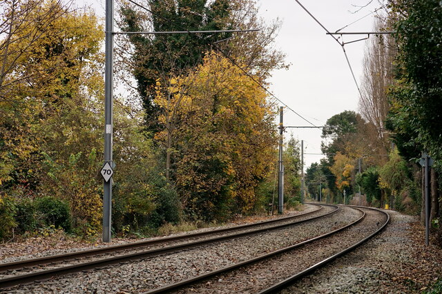
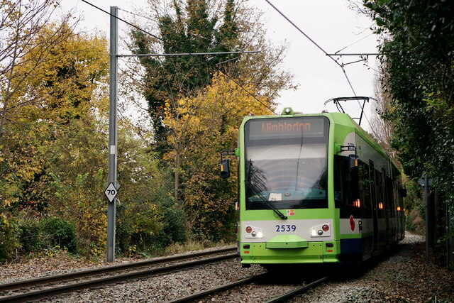
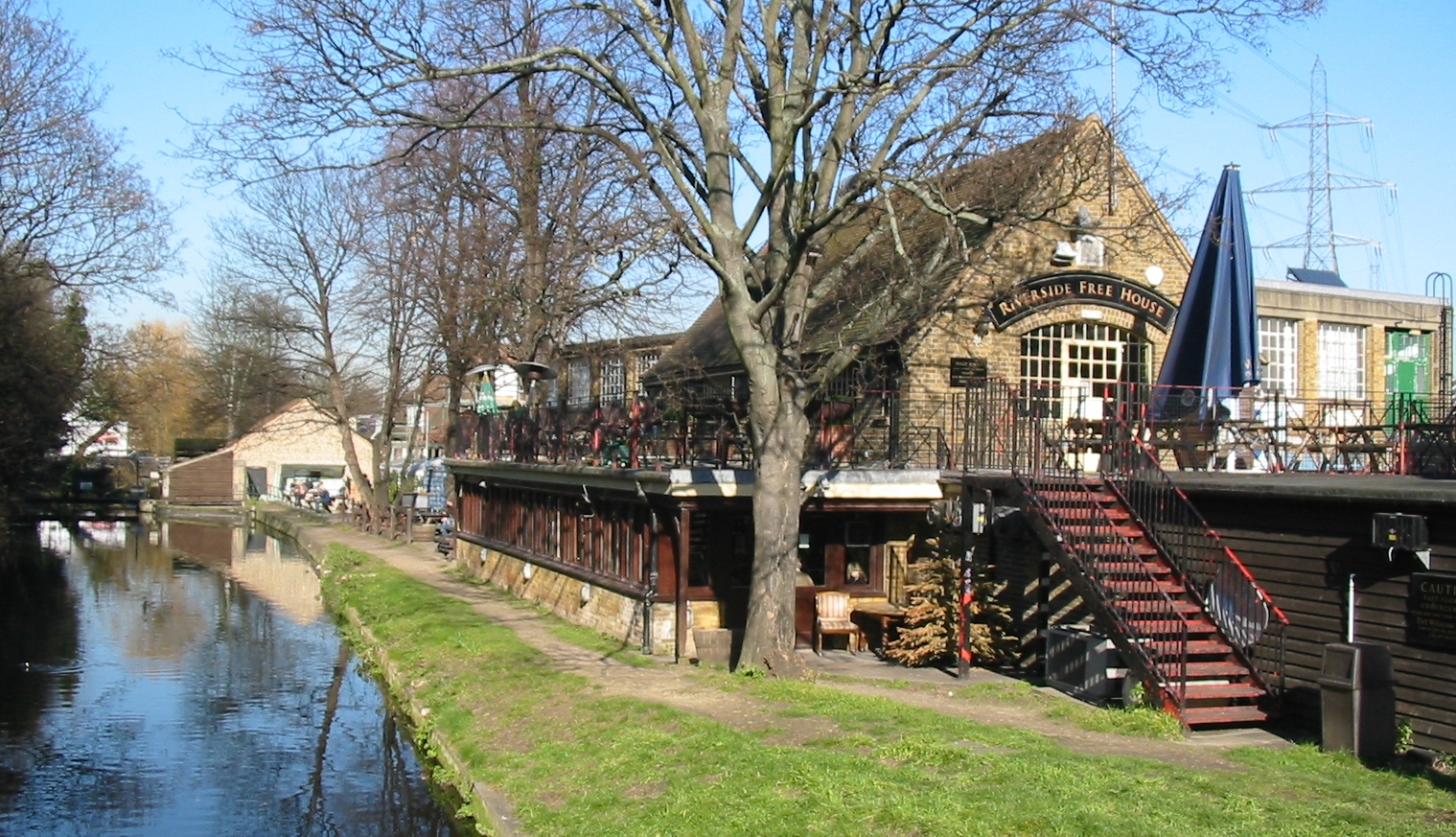
Merton Images
Images are sourced within 2km of 51.413845/-0.18363 or Grid Reference TQ2669. Thanks to Geograph Open Source API. All images are credited.


Merton is located at Grid Ref: TQ2669 (Lat: 51.413845, Lng: -0.18363)
Unitary Authority: Merton
Police Authority: Metropolitan
What 3 Words
///driver.woes.mimic. Near Mitcham, London
Nearby Locations
Related Wikis
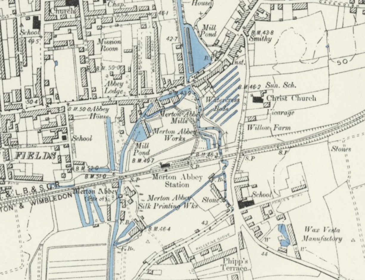
Merton Abbey Mills
Merton Abbey Mills is a former textile factory in the parish of Merton in London, England near the site of the medieval Merton Priory, now the home of...
Merton Abbey railway station
Merton Abbey was a railway station in Merton on the Tooting, Merton and Wimbledon Railway. It was opened in 1868 and closed on 1 January 1917. It was reopened...

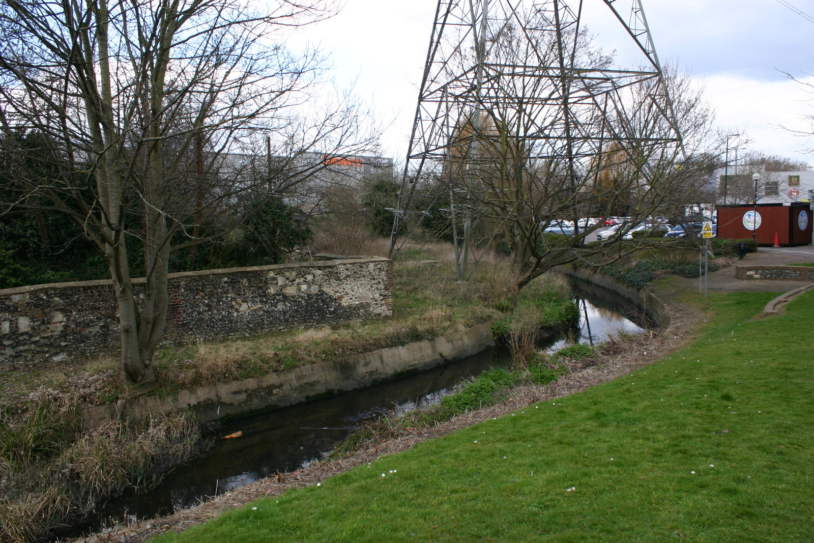
Bennett's Ditch
Bennett's Ditch—sometimes spelled Bennetts Ditch—is a minor river (brook) located in the locality of Colliers Wood in the London Borough of Merton, Greater...
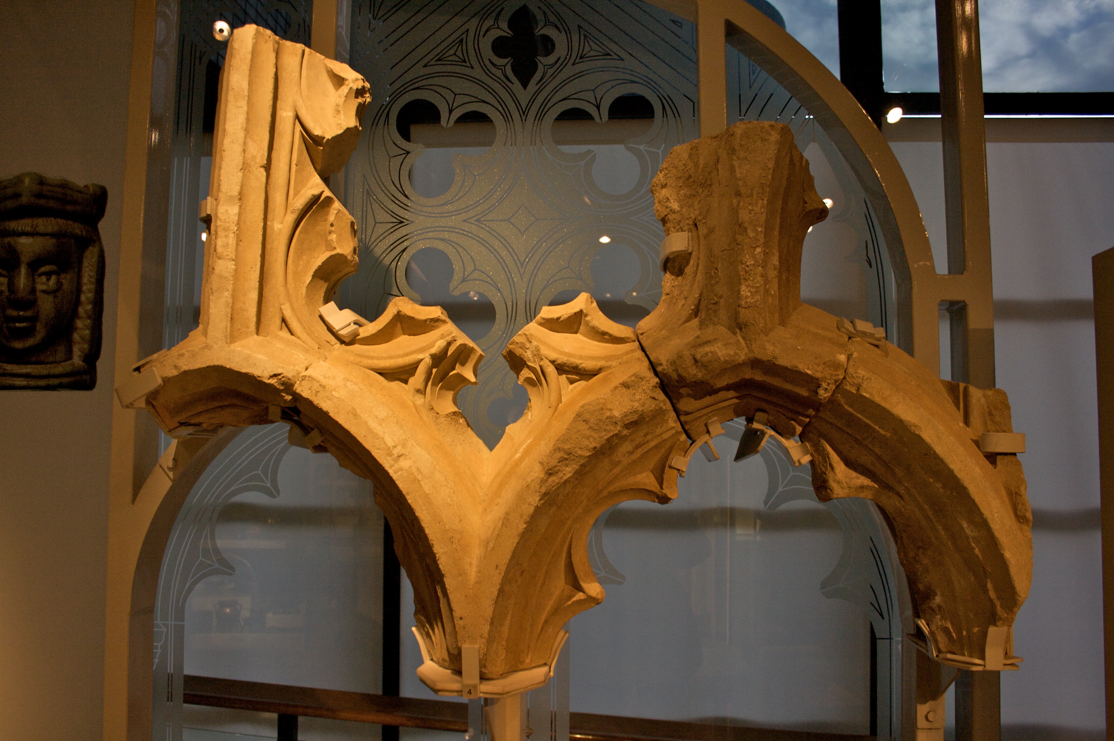
Merton Priory
Merton Priory was an English Augustinian priory founded in 1114 by Gilbert Norman, Sheriff of Surrey under King Henry I (1100–1135). It was situated within...
Merton Abbey, London
Merton Abbey is an area in southwest London, England. It lies between South Wimbledon and Colliers Wood in the London Borough of Merton. Merton Abbey...
King's Head, Merton
The King's Head was a public house in Merton High Street. An inn existed on the site from the 16th century, and served as a post house in the 17th century...
Pickle Ditch
Pickle Ditch, also known as the Pickle, is a minor, 0.9-kilometre (0.56 mi) long stream—brook—in the locality of Colliers Wood in the London Borough of...
Wimbledon Studios
Wimbledon Film & Television Studios is an English film and television production company and facilities provider, located in Colliers Wood, between Mitcham...
Nearby Amenities
Located within 500m of 51.413845,-0.18363Have you been to Merton?
Leave your review of Merton below (or comments, questions and feedback).