Merton Park
Settlement in Surrey
England
Merton Park

Merton Park is a residential area located in the borough of Merton in Surrey, England. Situated approximately 7 miles southwest of central London, it is characterized by its leafy streets, spacious homes, and a strong sense of community.
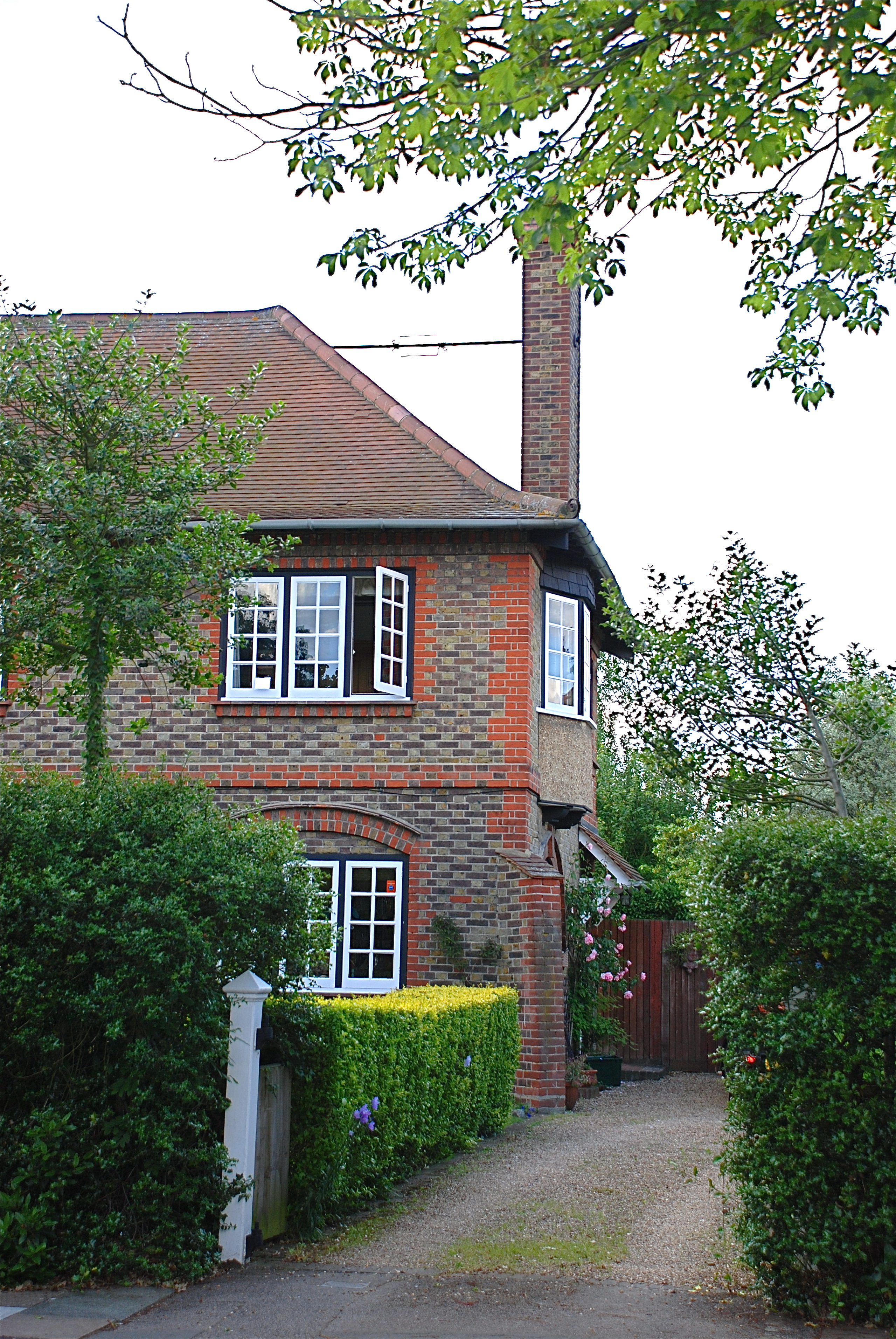
The area is known for its attractive Victorian and Edwardian architecture, with many well-preserved period properties lining its streets. The housing stock in Merton Park consists mainly of detached and semi-detached houses, making it an appealing place for families and professionals seeking a quiet and serene environment.
Merton Park is well-served by public transportation, with Morden Underground station providing easy access to central London via the Northern Line. Additionally, several bus routes serve the area, connecting it to neighboring towns and villages.
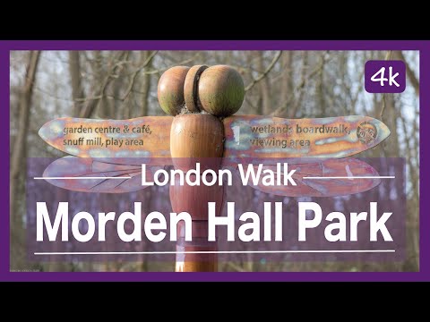
Residents of Merton Park benefit from a range of amenities, including a number of local shops, cafes, and restaurants. The nearby Centre Court Shopping Centre in Wimbledon provides an even wider range of retail options. The area also boasts several green spaces, such as Morden Hall Park and Merton Park Recreation Ground, offering opportunities for outdoor activities and leisurely walks.
Merton Park is home to a close-knit community, with various local organizations and societies catering to residents' interests. The area is served by a number of schools, both primary and secondary, offering high-quality education options for families.
Overall, Merton Park offers a blend of suburban tranquility and convenient access to the bustling city, making it an attractive place to live for those seeking a desirable residential area within easy reach of central London.
If you have any feedback on the listing, please let us know in the comments section below.
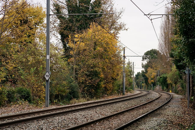
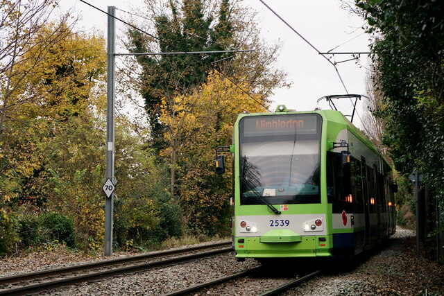
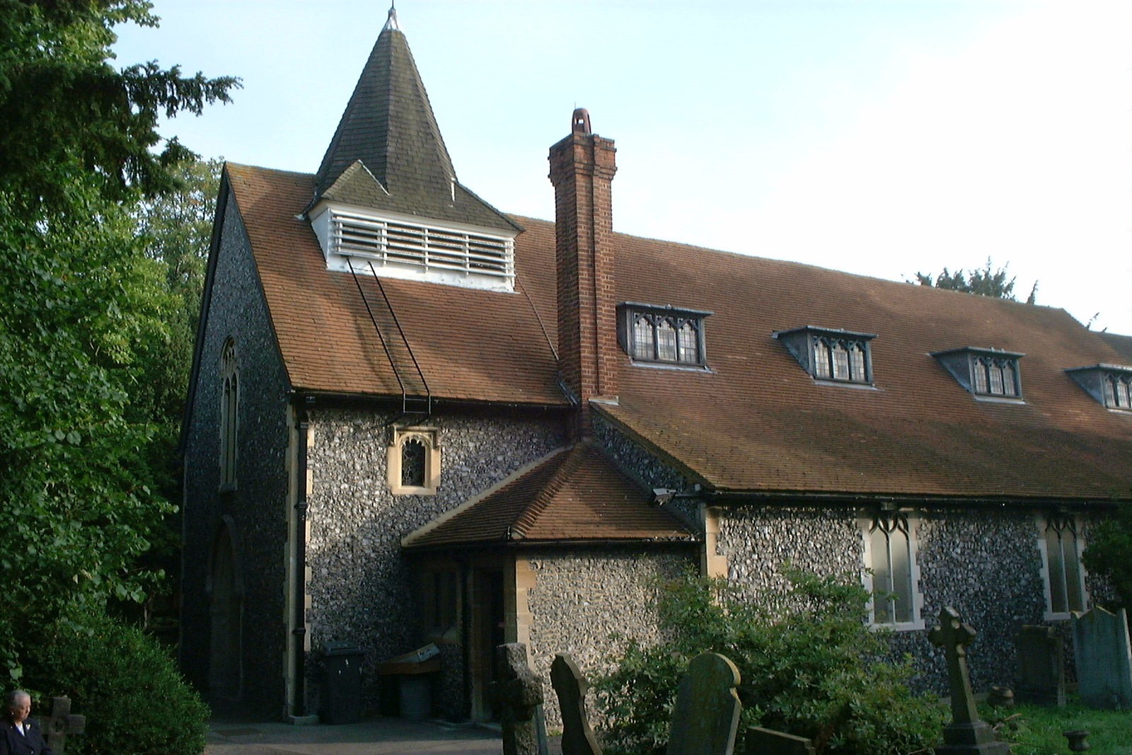
Merton Park Images
Images are sourced within 2km of 51.406591/-0.199547 or Grid Reference TQ2569. Thanks to Geograph Open Source API. All images are credited.


Merton Park is located at Grid Ref: TQ2569 (Lat: 51.406591, Lng: -0.199547)
Unitary Authority: Merton
Police Authority: Metropolitan
What 3 Words
///cave.lace.handle. Near Morden, London
Nearby Locations
Related Wikis
Merton, London (parish)
Merton is an ancient parish historically in Surrey, but which has since 1965 been part of Greater London (under its current name Merton Priory). It is...
Merton Park
Merton Park is a suburb in the London Borough of Merton. It is situated in Wimbledon. Bordering areas are Colliers Wood, Morden, South Wimbledon and Raynes...

Morden Road tram stop
Morden Road is a Tramlink stop in the London Borough of Merton. It is on the site of the former Morden Road railway station on the Wimbledon-West Croydon...

Morden Road railway station
Morden Road railway station was a station in Merton, on the West Croydon to Wimbledon Line. == History == The West Croydon to Wimbledon Line was opened...
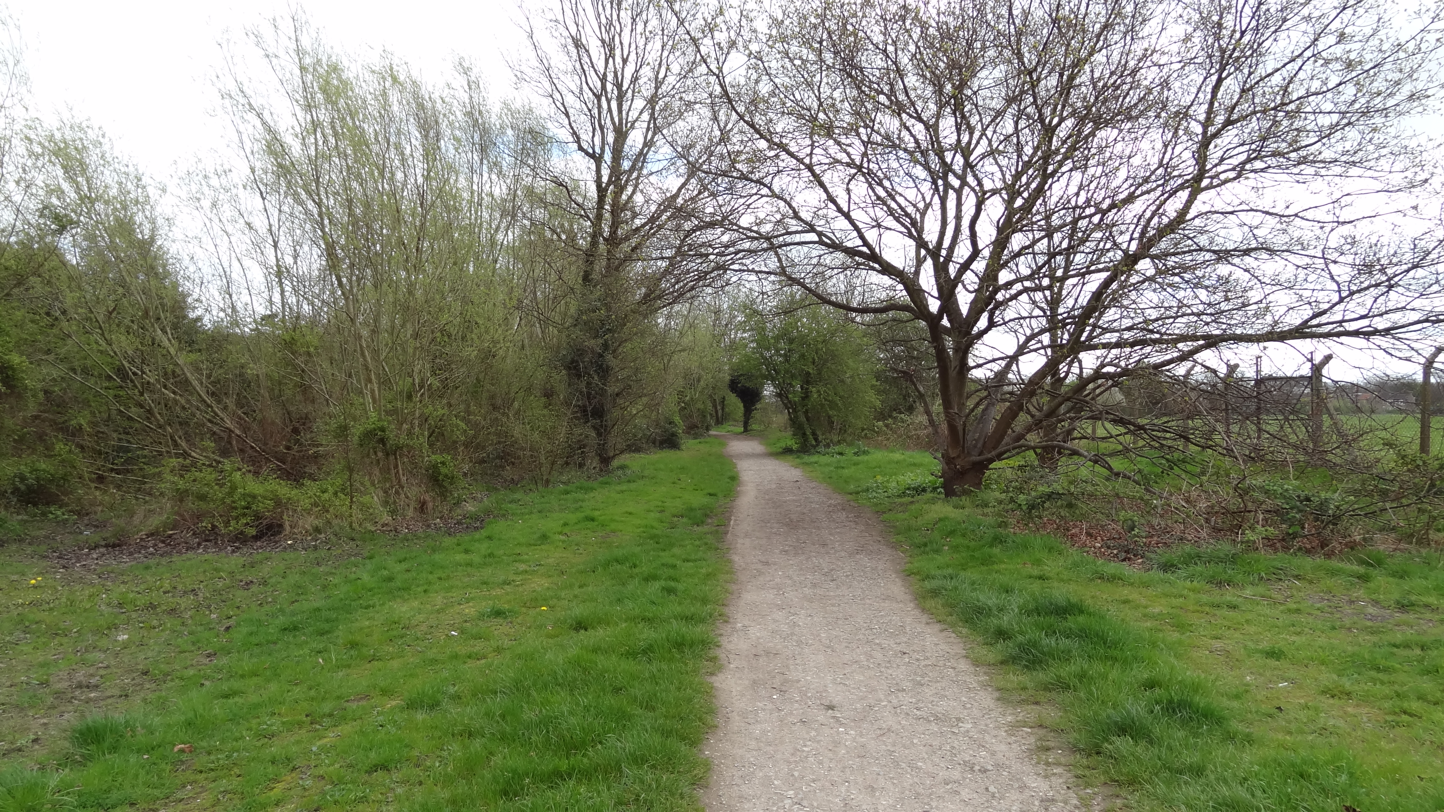
Merton Park Green Walks
Merton Park Green Walks is a linear walk along the line of a former railway line between Merton Park tram stop and Morden Road in Merton Park in the London...

Morden tube station
Morden is a London Underground station in Morden in the London Borough of Merton. The station is the southern terminus for the Northern line and is the...
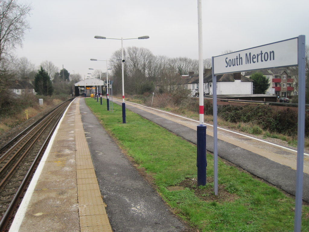
South Merton railway station
South Merton railway station is located in Morden, the administrative centre of the London Borough of Merton in South London. The station is served by...
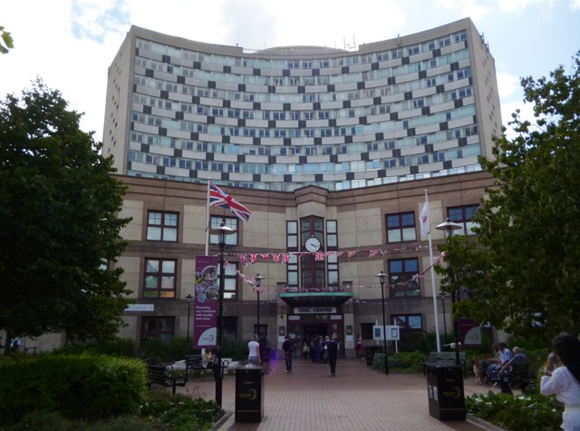
Merton Civic Centre
Merton Civic Centre is a municipal building in London Road, Morden, London. It is the headquarters of Merton London Borough Council. == History == The...
Related Videos

Walking in Leyton | Leyton road | London | UK | Night scene | 01:40 am | Leyton | Great Britain
Leyton road | London | UK | Night scene | 01:40 am | Leyton | Great Britain | Walking in Leyton Site link: ...
Morden Hall Park (NT) and Abbey Mills Hiking | 4k | Day Hike Monday | 🇬🇧 Hiking UK | England
NT parkland, streams, watermills, and Abbey Mills heritage site. Dogs can use this trail as well, but must be on a leash. Distance: ...

Wimbledon, Cannizaro Park, Wimbledon Village | LONDON 4K Walking Tour 🇬🇧 2023
Discovering London's Hidden Gems: Wimbledon, Buddhapadipa Temple, Cannizaro Park, Wimbledon Village | OmiWalk 4K ...

Sunny Afternoon Walk through Busy Wembley Outlet /London walking(4K)/ London CityWalkingTour
Walking Through Wembley Outlet in a Sunny day /London walking (4K)/ London city walking Tour in April 2022 #London ...
Nearby Amenities
Located within 500m of 51.406591,-0.199547Have you been to Merton Park?
Leave your review of Merton Park below (or comments, questions and feedback).