Dùn Heanish
Heritage Site in Argyllshire
Scotland
Dùn Heanish
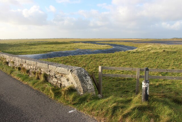
Dùn Heanish is a historic site located in the region of Argyllshire, Scotland. Perched on a cliff overlooking the stunning Heanish Bay, this ancient fortification is an important archaeological and heritage landmark.
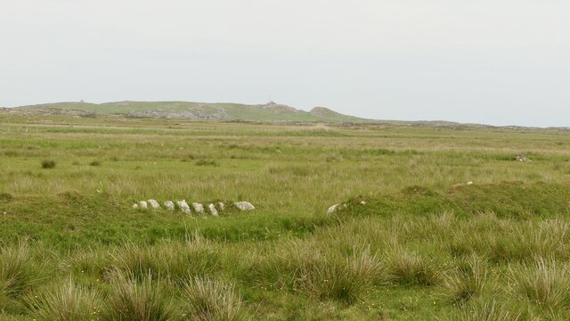
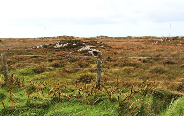
Believed to have been constructed during the Iron Age, Dùn Heanish is a well-preserved example of a promontory fort. The site consists of a circular stone wall, enclosing an area of approximately 0.3 hectares. The wall is constructed using dry stone techniques, with large boulders stacked without the use of mortar.
The fortification's strategic location provides commanding views of the surrounding landscape, making it an ideal defensive position. From the top of the cliff, visitors can admire the breathtaking vistas of the bay and the distant islands. Additionally, the site's proximity to the sea suggests that it may have played a role in maritime trade and communication routes.
Excavations at Dùn Heanish have revealed evidence of human activity dating back thousands of years. Archaeologists have unearthed artifacts such as pottery fragments, stone tools, and animal bones, shedding light on the daily life and habits of the fort's inhabitants.
Today, Dùn Heanish is a popular attraction for history enthusiasts and tourists alike. Managed by local heritage organizations, the site offers guided tours and interpretation boards to provide visitors with a deeper understanding of its historical significance. Its stunning natural surroundings and rich cultural heritage make Dùn Heanish a must-visit destination for anyone interested in Scotland's ancient past.
If you have any feedback on the listing, please let us know in the comments section below.
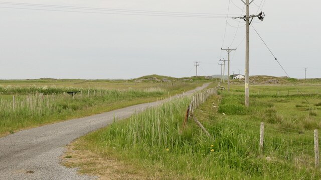
Dùn Heanish Images
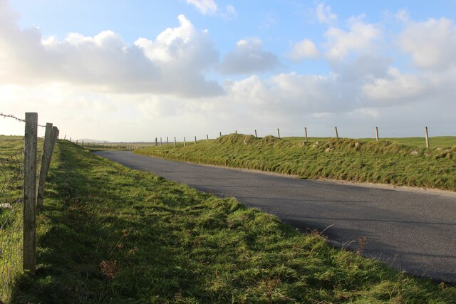
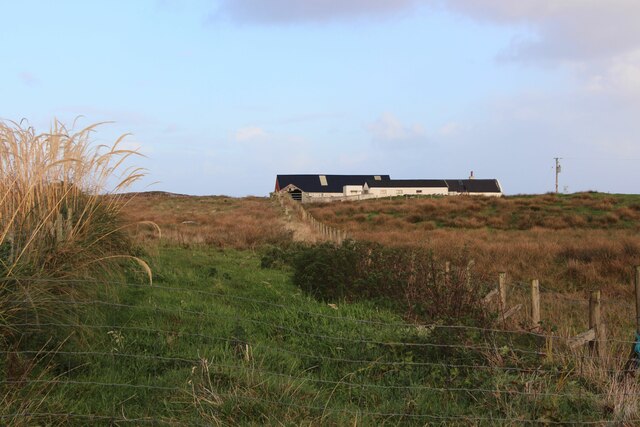
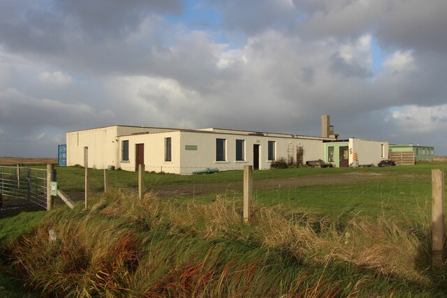
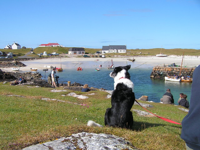
Images are sourced within 2km of 56.49/-6.818 or Grid Reference NM0343. Thanks to Geograph Open Source API. All images are credited.


Dùn Heanish is located at Grid Ref: NM0343 (Lat: 56.49, Lng: -6.818)
Unitary Authority: Argyll and Bute
Police Authority: Argyll and West Dunbartonshire
What 3 Words
///complains.meatball.manager. Near Scarinish, Argyll & Bute
Related Wikis

Scarinish
Scarinish (Scottish Gaelic: Sgairinis [ˈs̪kaɾʲɪnɪʃ]) is the main village on the island of Tiree, in the Inner Hebrides of Scotland. It is located on the...

Tiree
Tiree (; Scottish Gaelic: Tiriodh, pronounced [ˈtʲʰiɾʲəɣ]) is the most westerly island in the Inner Hebrides of Scotland. The low-lying island, southwest...

Tiree Airport
Tiree Airport (Scottish Gaelic: Port-adhair Thiriodh) (IATA: TRE, ICAO: EGPU) is located 2.5 nautical miles (4.6 km; 2.9 mi) north northeast of Balemartine...

Tiree Music Festival
Tiree Music Festival is a Scottish folk music festival held annually on the Island of Tiree in the Inner Hebrides. The festival was founded in 2010 by...
Nearby Amenities
Located within 500m of 56.49,-6.818Have you been to Dùn Heanish?
Leave your review of Dùn Heanish below (or comments, questions and feedback).