Glac Rachadail
Bay in Argyllshire
Scotland
Glac Rachadail
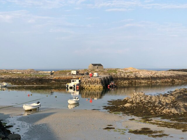
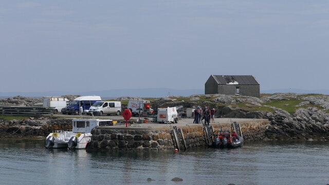
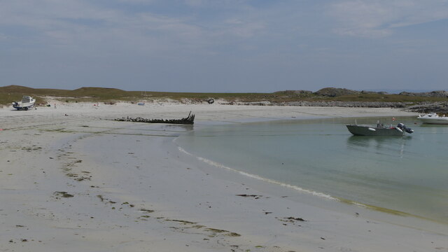
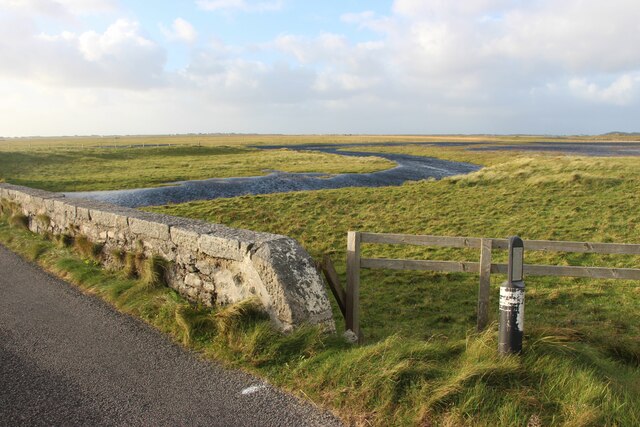
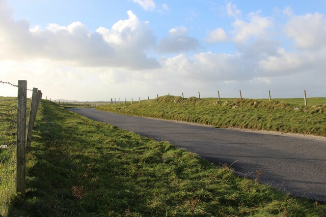
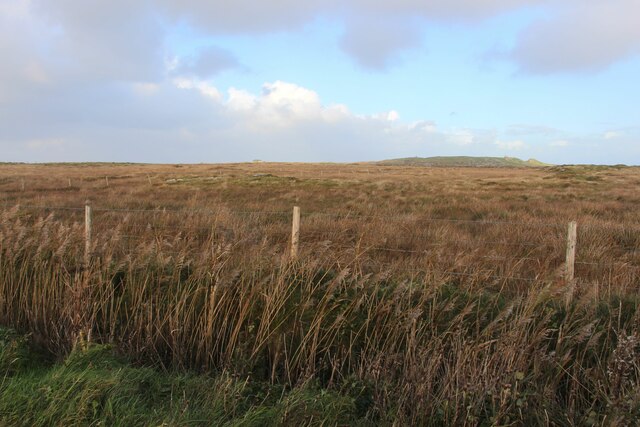
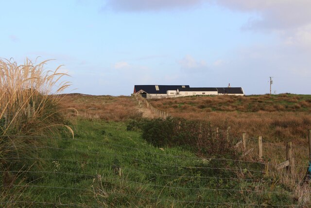
Glac Rachadail, also known as Rachadail Bay, is a stunning coastal area located in Argyllshire, Scotland. Situated on the western coast of the country, this bay is nestled within the picturesque surroundings of the Scottish Highlands. Glac Rachadail offers visitors a breathtaking view of the vast Atlantic Ocean, with its crystal-clear waters and rugged cliffs.
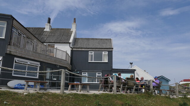
The bay is renowned for its unspoiled beauty and tranquility. The sandy beach stretches for miles, providing an idyllic spot for relaxation, picnics, and long walks. The bay is also home to an abundance of wildlife, including seals, otters, and a variety of seabirds. Nature enthusiasts can indulge in birdwatching or explore the nearby woodlands, which are rich in flora and fauna.
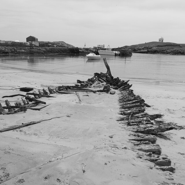
For those interested in history, Glac Rachadail has cultural significance too. The remains of an ancient settlement can be found nearby, dating back to the Neolithic period. Exploring these archaeological sites offers a glimpse into the lives of our ancestors and their connection to this remarkable landscape.
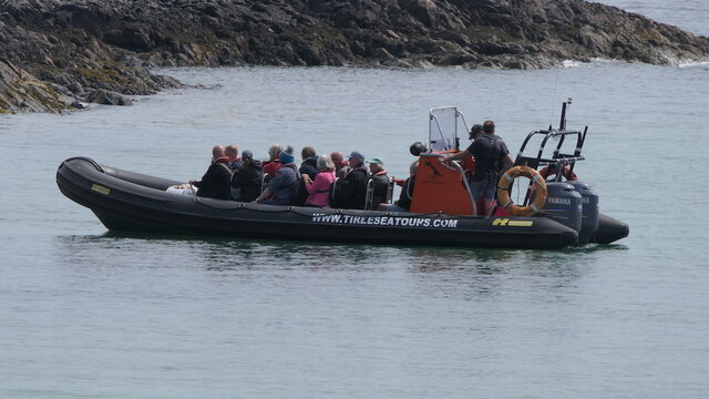
Visitors to Glac Rachadail can enjoy a range of outdoor activities, such as kayaking, fishing, and sailing. The bay's calm waters make it an ideal spot for water sports enthusiasts of all levels. Additionally, the bay is surrounded by several hiking trails, offering breathtaking views of the coastline and the rolling hills of Argyllshire.
Glac Rachadail is a hidden gem in the Argyllshire region, offering a unique blend of natural beauty, wildlife, and historical significance. Whether seeking tranquility, adventure, or a connection to Scotland's rich past, this bay is a must-visit destination.
If you have any feedback on the listing, please let us know in the comments section below.
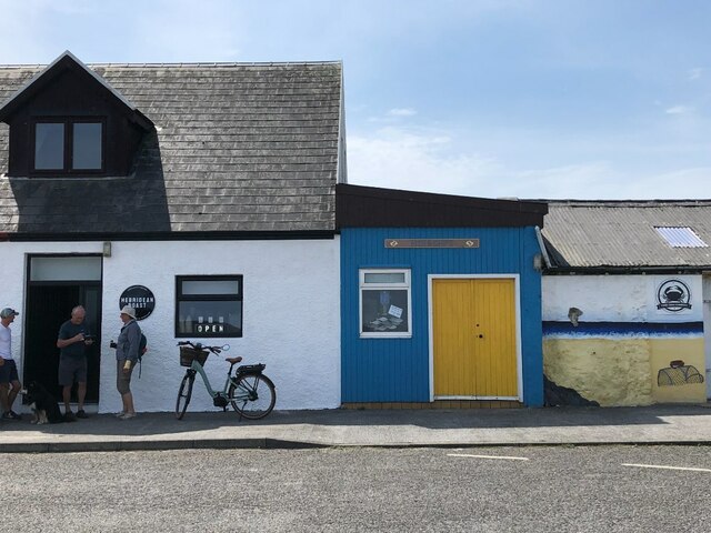
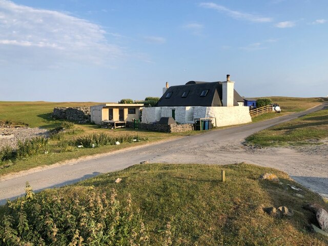
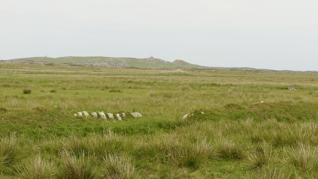
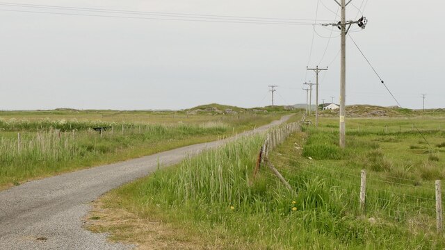
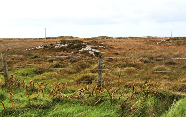
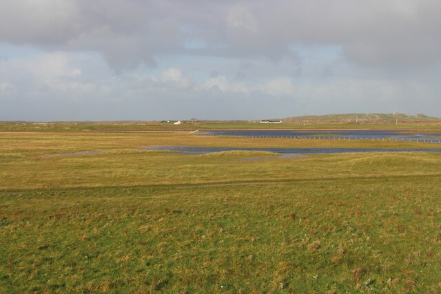
Glac Rachadail Images
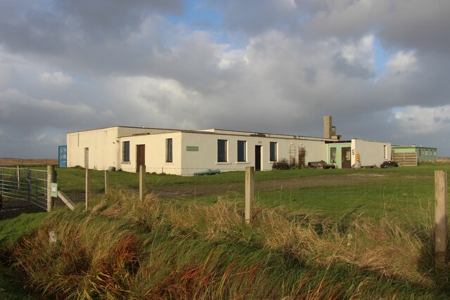
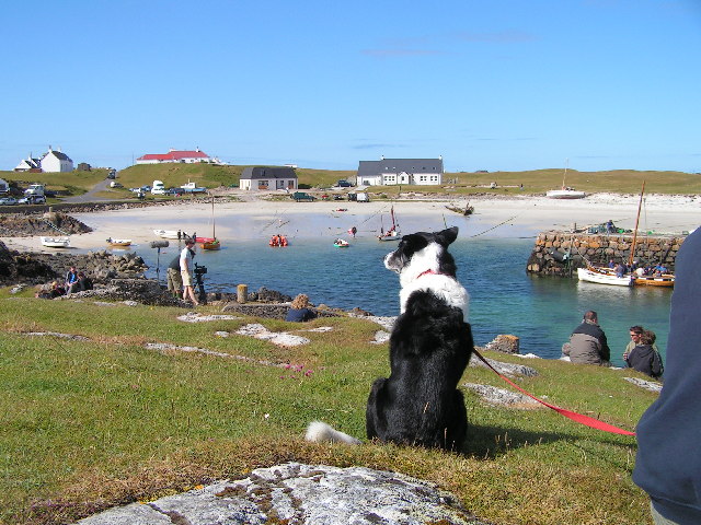
Images are sourced within 2km of 56.489788/-6.8254267 or Grid Reference NM0343. Thanks to Geograph Open Source API. All images are credited.
Glac Rachadail is located at Grid Ref: NM0343 (Lat: 56.489788, Lng: -6.8254267)
Unitary Authority: Argyll and Bute
Police Authority: Argyll and West Dunbartonshire
What 3 Words
///corrects.spice.until. Near Scarinish, Argyll & Bute
Related Wikis

Scarinish
Scarinish (Scottish Gaelic: Sgairinisy [ˈs̪kaɾʲɪnɪʃ]) is the main village on the island of Tiree, in the Inner Hebrides of Scotland. It is located on the...

Tiree Airport
Tiree Airport (Scottish Gaelic: Port-adhair Thiriodh) (IATA: TRE, ICAO: EGPU) is located 2.5 nautical miles (4.6 km; 2.9 mi) north northeast of Balemartine...

Tiree
Tiree (; Scottish Gaelic: Tiriodh, pronounced [ˈtʲʰiɾʲəɣ]) is the most westerly island in the Inner Hebrides of Scotland. The low-lying island, southwest...

Tiree Music Festival
Tiree Music Festival is a Scottish folk music festival held annually on the Island of Tiree in the Inner Hebrides. The festival was founded in 2010 by...
Nearby Amenities
Located within 500m of 56.489788,-6.8254267Have you been to Glac Rachadail?
Leave your review of Glac Rachadail below (or comments, questions and feedback).