Poll Eachuinn
Sea, Estuary, Creek in Argyllshire
Scotland
Poll Eachuinn
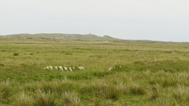
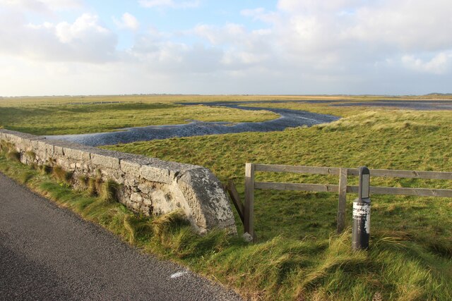
Poll Eachuinn, also known as Loch Ewe, is a picturesque sea loch located in the county of Argyllshire, Scotland. Nestled on the northwest coast of the country, it is a stunning blend of sea, estuary, and creek, offering breathtaking scenery and a rich diversity of wildlife.
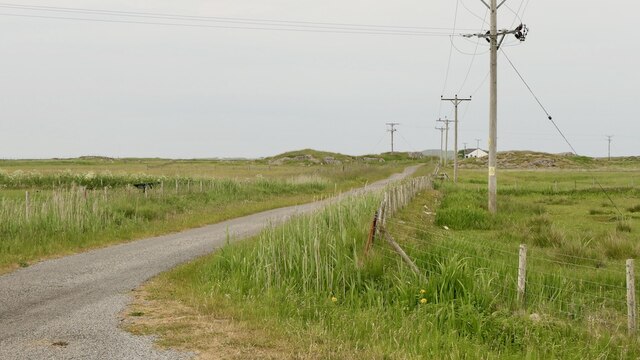
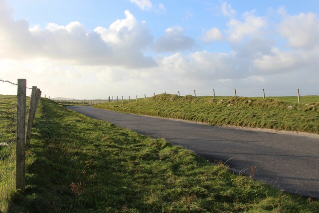
With its crystal-clear waters and dramatic landscape, Poll Eachuinn provides a tranquil haven for nature enthusiasts and outdoor adventurers alike. The loch stretches over 12 kilometers, extending from the village of Poolewe to the mouth of the River Ewe. Its shores are adorned with rugged cliffs, sandy beaches, and lush greenery, creating a captivating landscape that changes with the seasons.
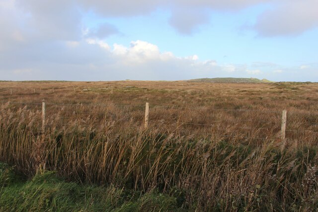
The loch is renowned for its thriving marine ecosystem, attracting a variety of seabirds, seals, and otters. It is also home to a diverse range of fish species, making it a popular destination for anglers. The surrounding hills and mountains offer ample opportunities for hiking, with trails that lead to stunning viewpoints overlooking the loch and its surrounding countryside.
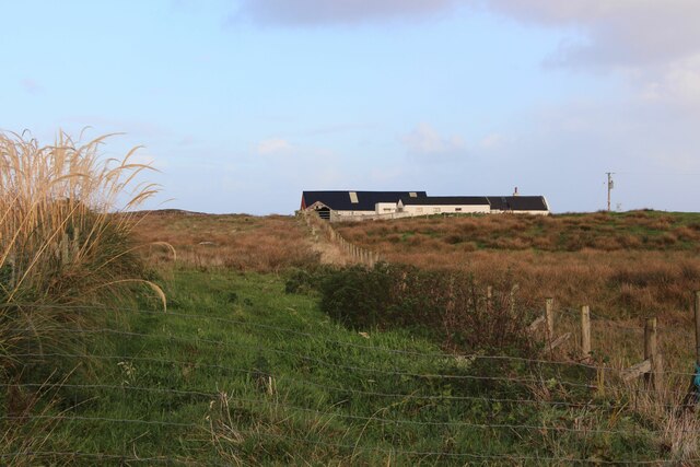
Poll Eachuinn has a rich historical significance, particularly during World War II. It served as a crucial naval base and played a pivotal role in the Arctic convoys, which transported vital supplies to the Soviet Union. The remnants of this wartime history can still be seen today, with old bunkers and gun emplacements scattered along the loch's shores.
Whether you're seeking a peaceful retreat in nature or an opportunity to explore Scotland's history, Poll Eachuinn is a true gem that never fails to captivate visitors with its natural beauty and fascinating heritage.
If you have any feedback on the listing, please let us know in the comments section below.
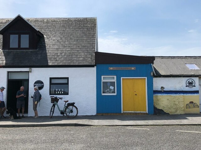
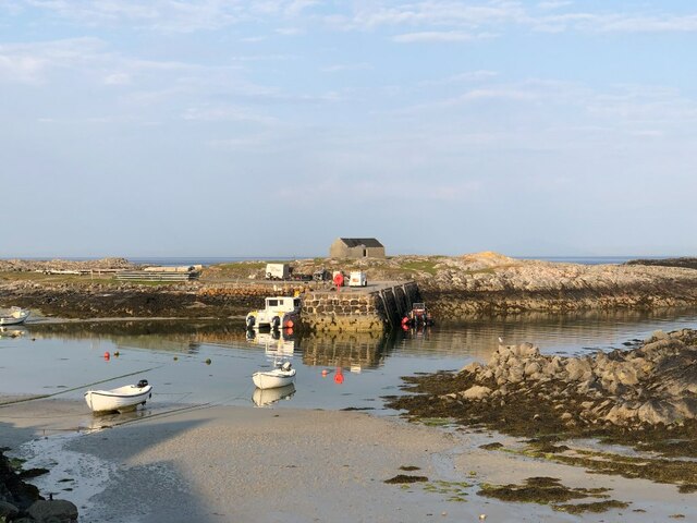
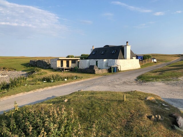
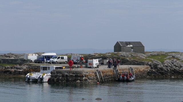
Poll Eachuinn Images
Images are sourced within 2km of 56.489893/-6.8227405 or Grid Reference NM0343. Thanks to Geograph Open Source API. All images are credited.

Poll Eachuinn is located at Grid Ref: NM0343 (Lat: 56.489893, Lng: -6.8227405)
Unitary Authority: Argyll and Bute
Police Authority: Argyll and West Dunbartonshire
What 3 Words
///ombudsman.miracle.breakaway. Near Scarinish, Argyll & Bute
Related Wikis

Scarinish
Scarinish (Scottish Gaelic: Sgairinis [ˈs̪kaɾʲɪnɪʃ]) is the main village on the island of Tiree, in the Inner Hebrides of Scotland. It is located on the...

Tiree
Tiree (; Scottish Gaelic: Tiriodh, pronounced [ˈtʲʰiɾʲəɣ]) is the most westerly island in the Inner Hebrides of Scotland. The low-lying island, southwest...

Tiree Airport
Tiree Airport (Scottish Gaelic: Port-adhair Thiriodh) (IATA: TRE, ICAO: EGPU) is located 2.5 nautical miles (4.6 km; 2.9 mi) north northeast of Balemartine...

Tiree Music Festival
Tiree Music Festival is a Scottish folk music festival held annually on the Island of Tiree in the Inner Hebrides. The festival was founded in 2010 by...
Nearby Amenities
Located within 500m of 56.489893,-6.8227405Have you been to Poll Eachuinn?
Leave your review of Poll Eachuinn below (or comments, questions and feedback).