Docwra's Manor, Shepreth
Heritage Site in Cambridgeshire South Cambridgeshire
England
Docwra's Manor, Shepreth
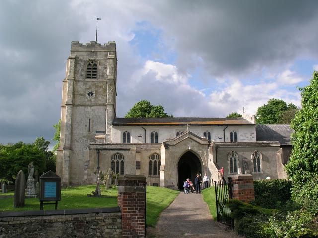
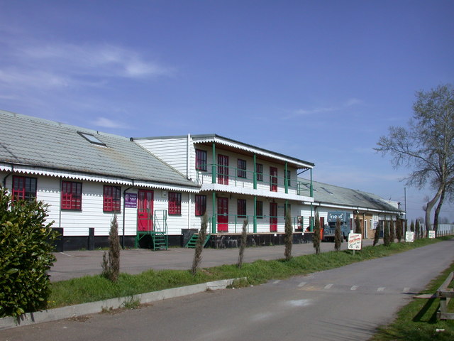
Docwra's Manor is a historical heritage site located in Shepreth, Cambridgeshire, England. It is a Grade II* listed building and holds significant historical and architectural importance. The manor house dates back to the 17th century and is known for its well-preserved Jacobean-style architecture.
The manor's exterior features a stunning red-brick facade with decorative stone detailing. The symmetrical design of the building includes gabled roofs, mullioned windows, and a prominent central entrance, giving it a grand and imposing appearance. The interior of the manor boasts an impressive great hall with a high timber-beamed ceiling, ornate plasterwork, and an intricately carved fireplace.
The manor's gardens are equally remarkable. Spanning over several acres, the well-maintained gardens showcase a mix of formal lawns, flower beds, and carefully pruned hedges. A charming walled garden adds to the beauty and tranquillity of the surroundings.
Throughout its history, Docwra's Manor has witnessed various owners and significant events. Originally built for the Docwra family, it later passed into the hands of the Hale family. During the English Civil War, the manor served as a garrison for Parliamentary forces. The estate was later acquired by the Tharp family, who held it for over a century.
Today, Docwra's Manor is privately owned and not open to the public. However, its architectural splendor and historical significance make it an important heritage site in Cambridgeshire. The manor serves as a reminder of the region's rich cultural and architectural past, offering a glimpse into the lives of the affluent families who once called it home.
If you have any feedback on the listing, please let us know in the comments section below.
Docwra's Manor, Shepreth Images
Images are sourced within 2km of 52.115/0.032 or Grid Reference TL3948. Thanks to Geograph Open Source API. All images are credited.


Docwra's Manor, Shepreth is located at Grid Ref: TL3948 (Lat: 52.115, Lng: 0.032)
Administrative County: Cambridgeshire
District: South Cambridgeshire
Police Authority: Cambridgeshire
What 3 Words
///scooter.brilliant.village. Near Meldreth, Cambridgeshire
Nearby Locations
Related Wikis

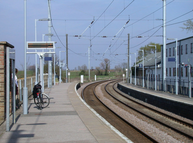
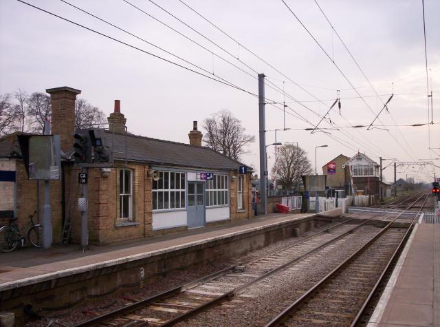
Shepreth railway station
Shepreth railway station serves the village of Shepreth in Cambridgeshire, England. The station is on the Cambridge Line, 49 miles 67 chains (49.84 miles...

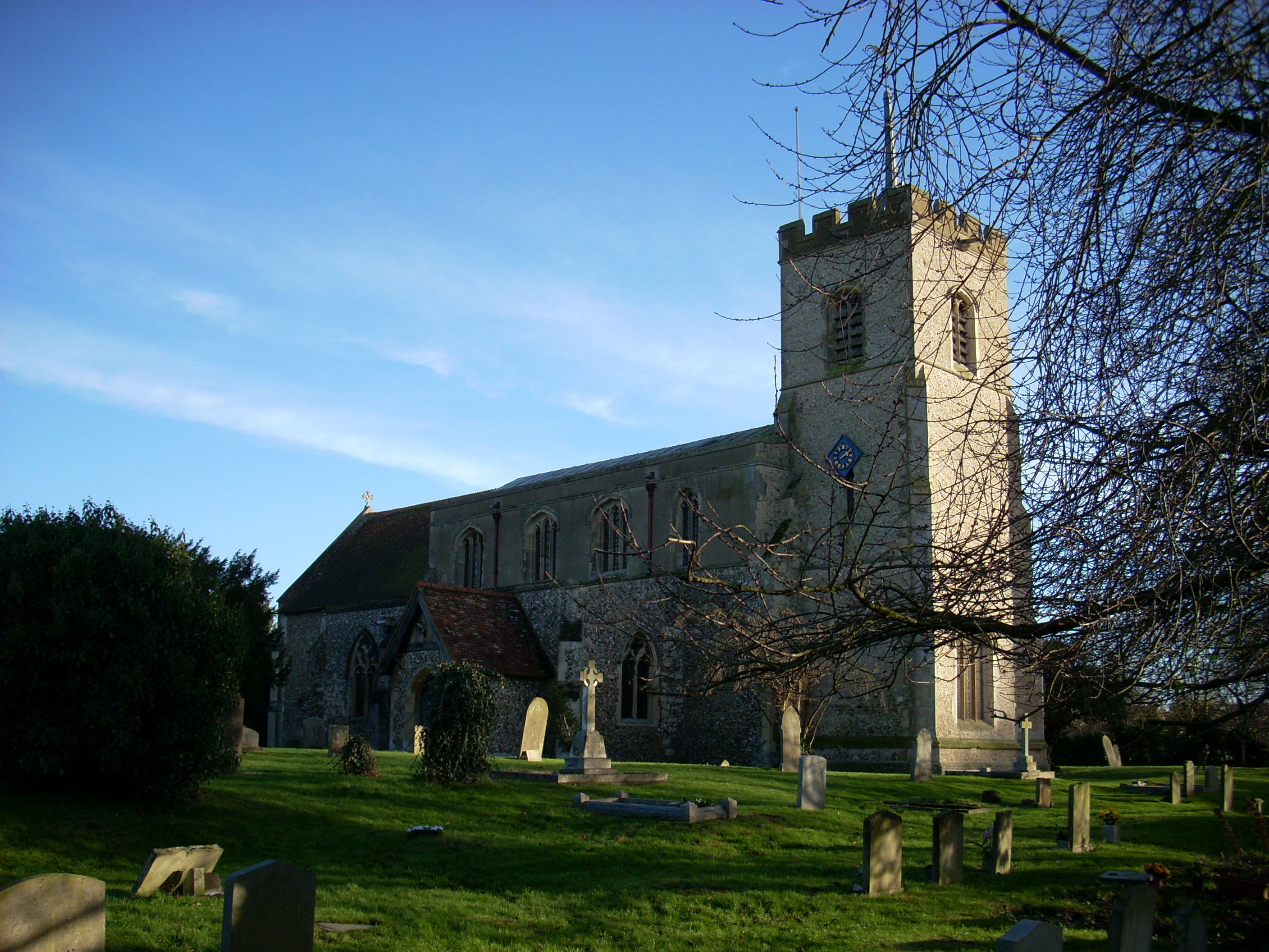
Shepreth
Shepreth is a small village and civil parish in South Cambridgeshire, lying halfway between Cambridge and Royston. == History == The parish of Shepreth...
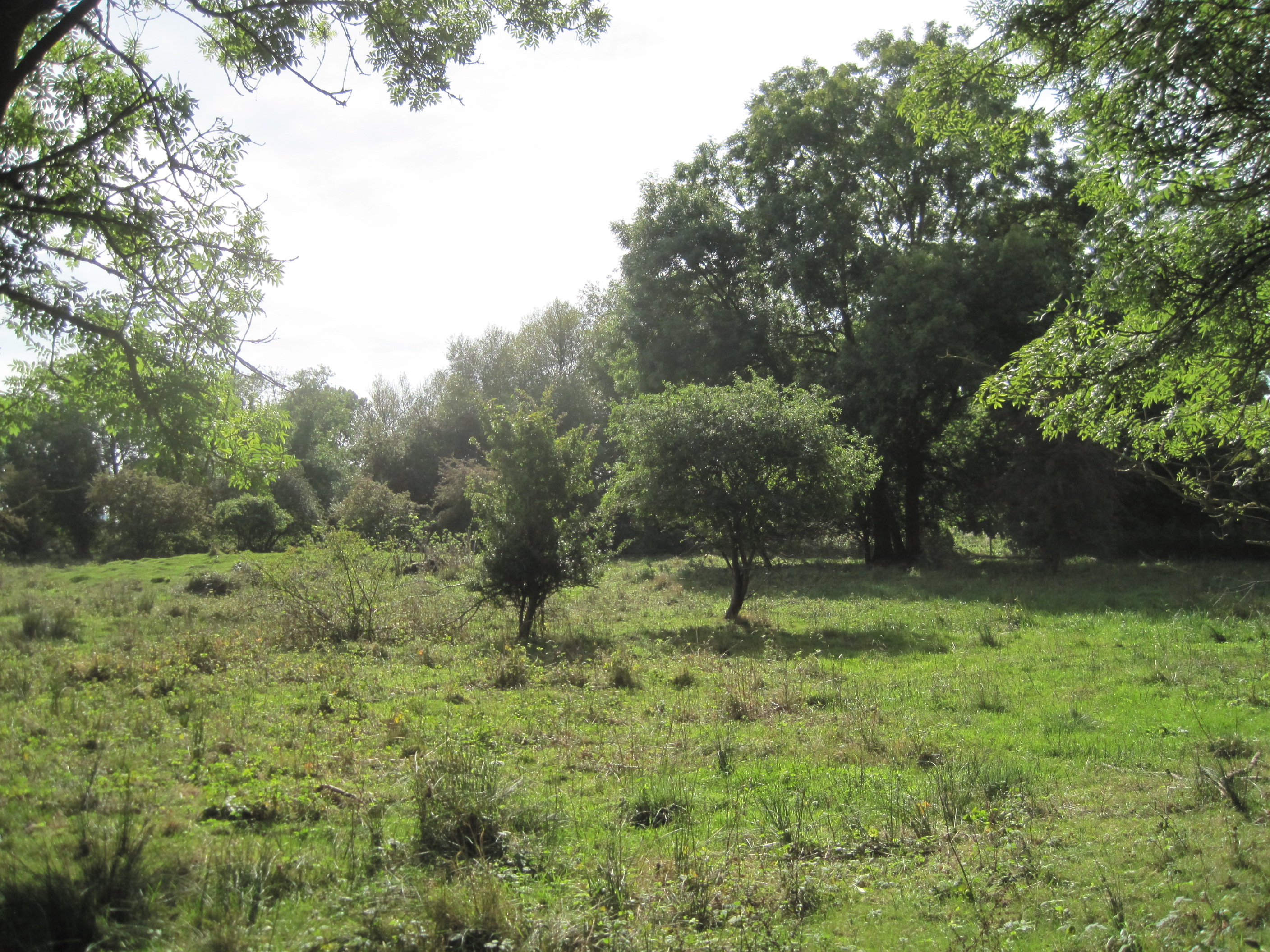
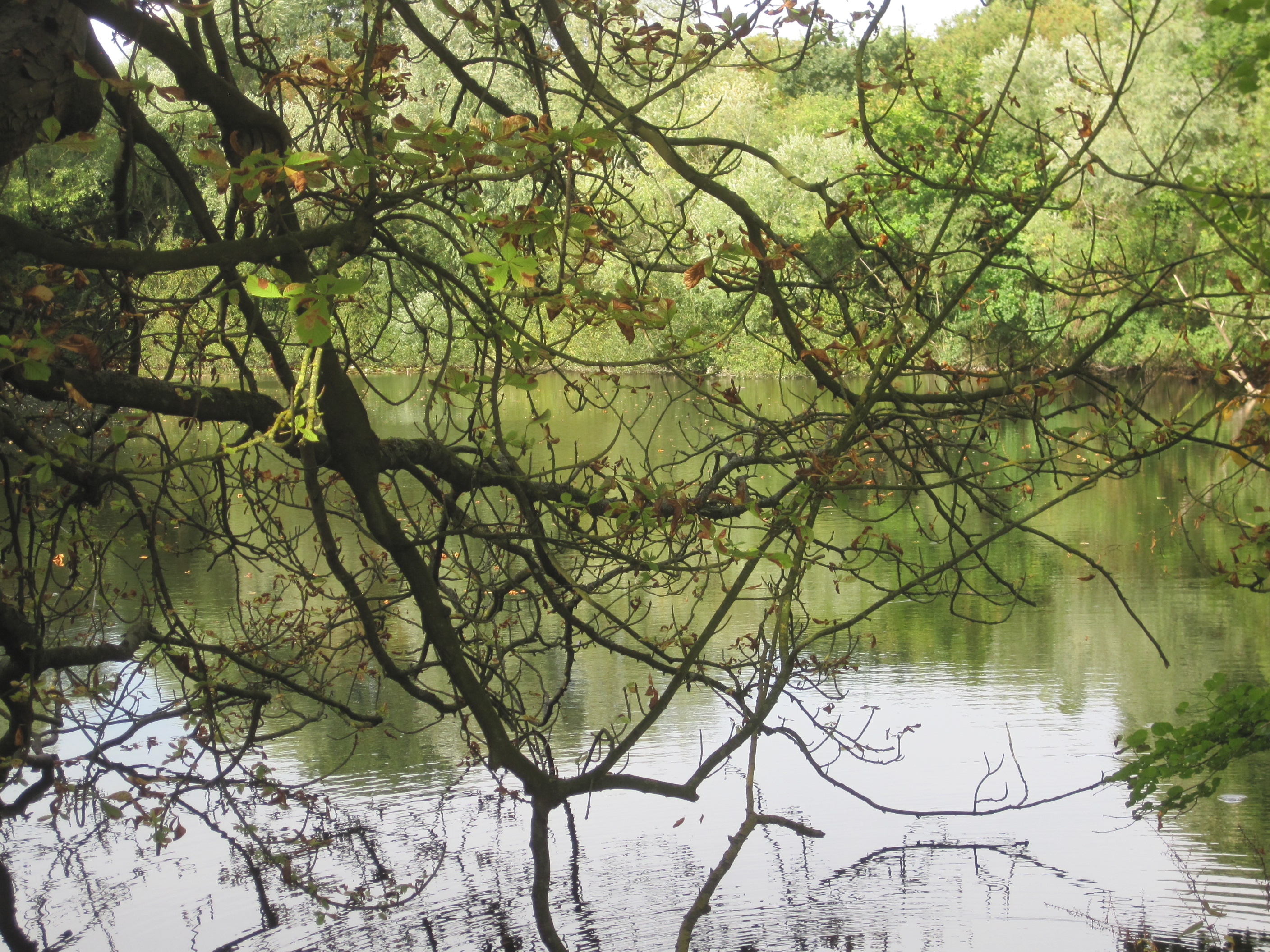
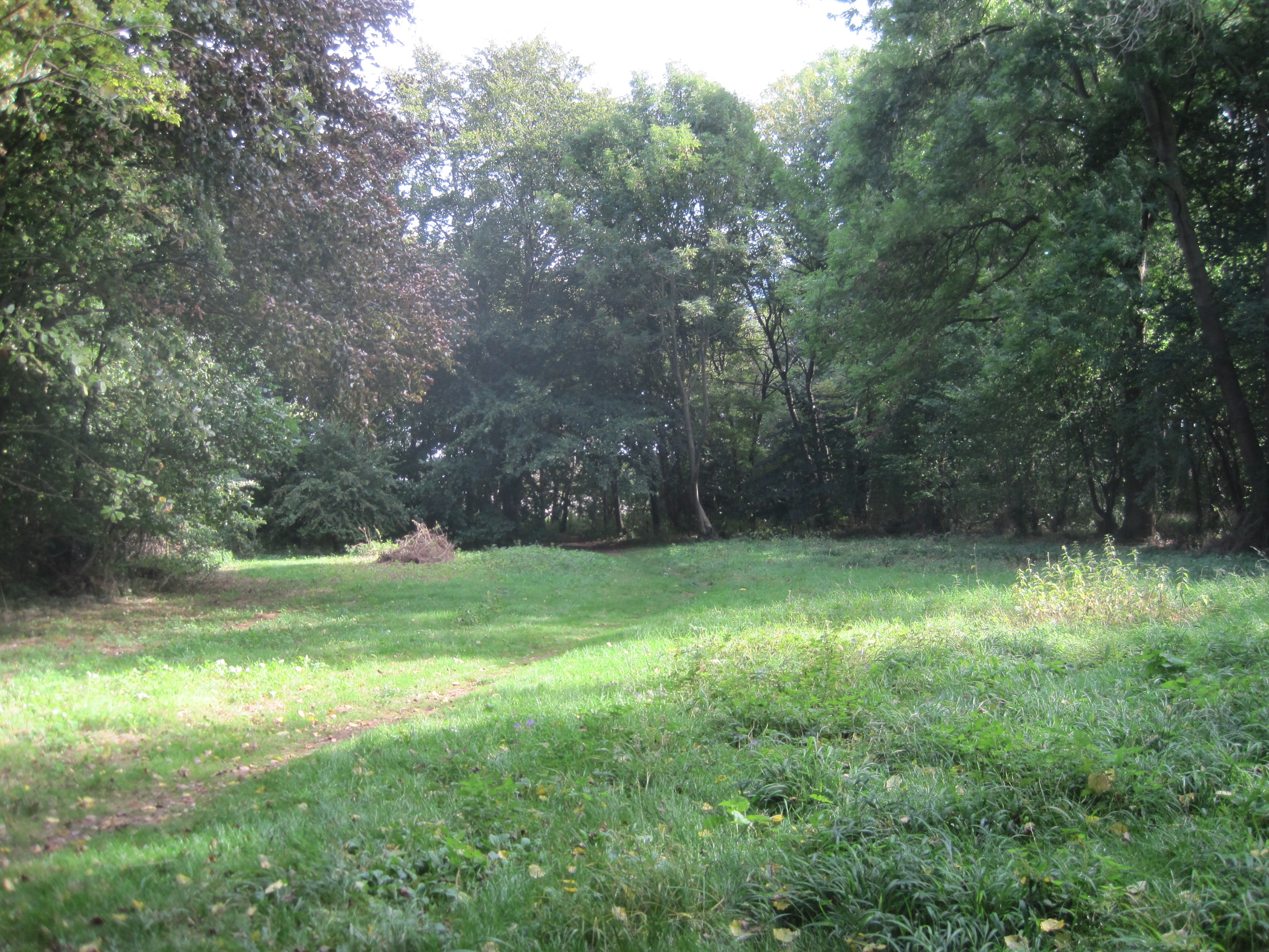
L-Moor, Shepreth
L-Moor, Shepreth is a 6.6-hectare (16-acre) biological Site of Special Scientific Interest in Shepreth in Cambridgeshire. It is managed by the Wildlife...
Barrington Pit
Barrington Pit is a 3.8-hectare (9.4-acre) geological Site of Special Scientific Interest near Barrington in Cambridgeshire. It is a Geological Conservation...

Barrington, Cambridgeshire
Barrington is a small village and civil parish in the South Cambridgeshire district of Cambridgeshire, England. The village is about 7 miles (11 km) south...
Foxton railway station
Foxton railway station serves the village of Foxton in Cambridgeshire, England. It is 50 miles 77 chains (50.96 miles, 82.02 km) from London King's Cross...
Foxton, Cambridgeshire
Foxton is a small village in South Cambridgeshire, England. It has a number of well-preserved fifteenth- and sixteenth-century houses, and a thirteenth...
Melwood Local Nature Reserve
Melwood is a 0.6 hectare Local Nature Reserve in Meldreth in Cambridgeshire, England. It is owned by Cambridgeshire County Council and managed by the Melwood...
Nearby Amenities
Located within 500m of 52.115,0.032Have you been to Docwra's Manor, Shepreth?
Leave your review of Docwra's Manor, Shepreth below (or comments, questions and feedback).