Doctor's Gate
Heritage Site in Derbyshire High Peak
England
Doctor's Gate
Doctor's Gate is a historic and picturesque location situated in the Derbyshire Peak District, England. It is a renowned heritage site that attracts visitors from all over the world due to its natural beauty and historical significance.
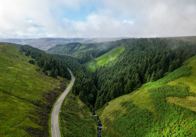
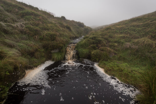
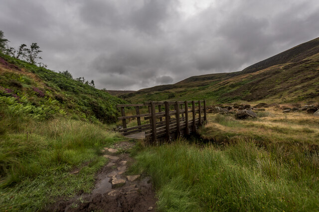
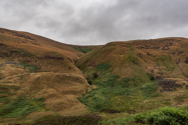
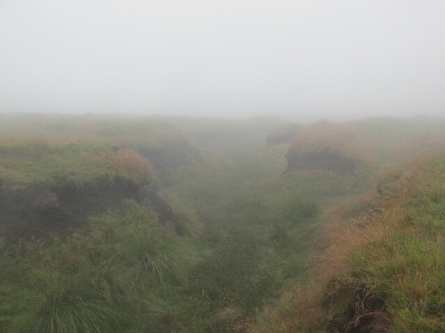
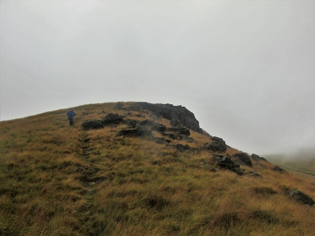
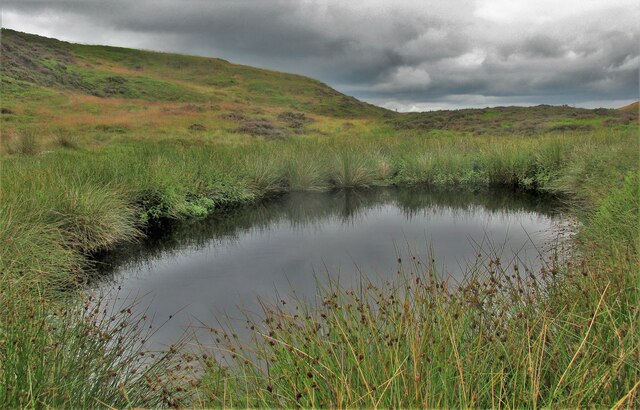
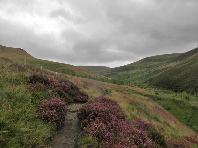
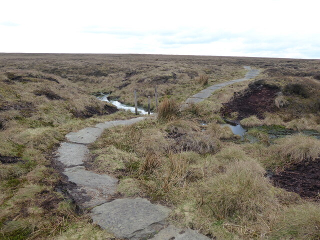
Located in the High Peak, Doctor's Gate is an ancient packhorse route that dates back to the Roman era. It is believed to have served as a key trade route through the region, connecting the settlements of Glossop and Cheshire. The trail is surrounded by stunning scenery, with rolling hills, lush green valleys, and breathtaking views of the Peak District National Park.
The site itself is named after a local doctor who used to frequent the area in the 18th century. There is a stone marker at the entrance of the gate that commemorates this historical figure. The gate is made of stone and has a rustic charm, adding to the overall charm of the location.
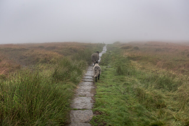
Today, Doctor's Gate is a popular destination for hikers, nature enthusiasts, and history buffs. The trail offers various levels of difficulty, catering to both experienced trekkers and beginners. Visitors can explore the surrounding countryside, admire the diverse flora and fauna, and enjoy the tranquility of the area. The site also provides an opportunity to learn about the region's rich history and its importance as a trade route centuries ago.
With its natural beauty and historical significance, Doctor's Gate is a must-visit destination for those seeking an immersive experience in the Derbyshire Peak District.
If you have any feedback on the listing, please let us know in the comments section below.
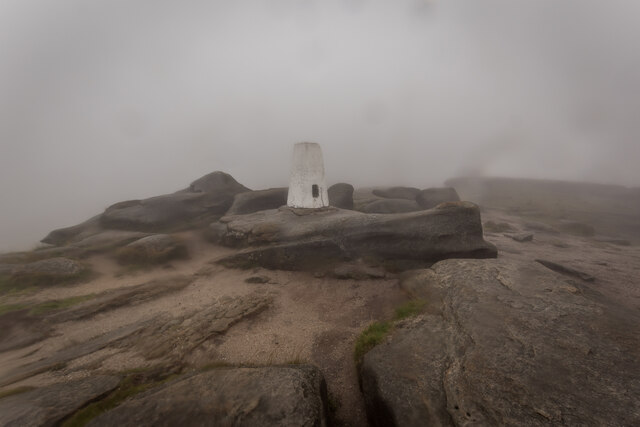
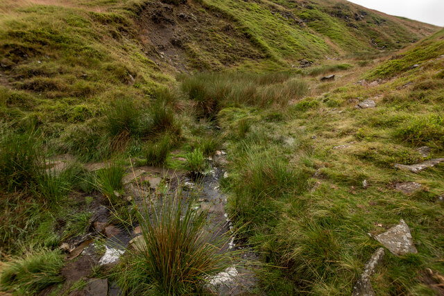
Doctor's Gate Images
Images are sourced within 2km of 53.438/-1.872 or Grid Reference SK0893. Thanks to Geograph Open Source API. All images are credited.

Doctor's Gate is located at Grid Ref: SK0893 (Lat: 53.438, Lng: -1.872)
Administrative County: Derbyshire
District: High Peak
Police Authority: Derbyshire
What 3 Words
///cemented.trip.runners. Near Glossop, Derbyshire
Nearby Locations
Related Wikis

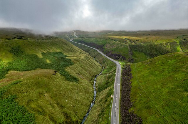
Snake Pass
Snake Pass is a hill pass in the Derbyshire section of the Peak District, crossing the Pennines between Glossop and the Ladybower Reservoir at Ashopton...

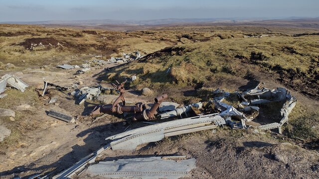
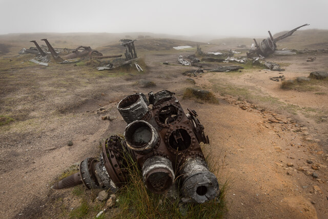
Bleaklow Bomber
The Bleaklow Bomber was a US Air Force (USAF) Boeing RB-29A Superfortress that crashed near Higher Shelf Stones on Bleaklow in the Peak District in 1948...

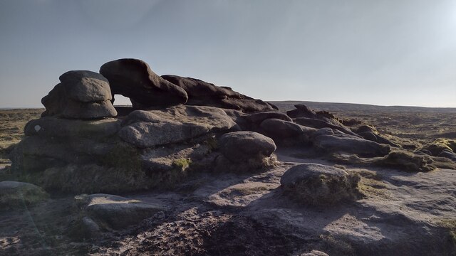
Featherbed Top
Featherbed Top is an open, flat-topped hill, 544 metres (1,785 ft) high, in the Peak District in the county of Derbyshire in England. == Description... ==

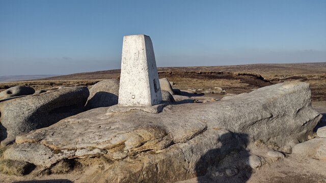
Bleaklow
Bleaklow is a high, largely peat-covered, gritstone moorland in the Derbyshire High Peak near the town of Glossop. It is north of Kinder Scout, across...

Hurst Reservoir
Hurst Reservoir is a former, now disused, reservoir near Glossop, north Derbyshire. == History == In 1837, 50 local millowners and gentlemen, known as...

Mossy Lea Reservoir
Mossy Lea Reservoir is a disused reservoir near Glossop, north Derbyshire. In 1837, 50 local millowners and gentlemen, known as the "Glossop Commissioners...

Mill Hill (Derbyshire)
Mill Hill is an open, flat-topped hill, 1,785 feet (544 m) above sea level, in the Peak District in the county of Derbyshire in England. == Location... ==
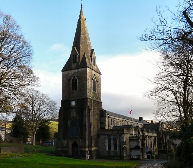
All Saints' Church, Glossop
All Saints’ Church, Glossop, is a Grade II listed parish church in the Church of England: 218 in Glossop, Derbyshire, England. == History == The first...
Nearby Amenities
Located within 500m of 53.438,-1.872Have you been to Doctor's Gate ?
Leave your review of Doctor's Gate below (or comments, questions and feedback).