Urchin Clough
Valley in Derbyshire High Peak
England
Urchin Clough
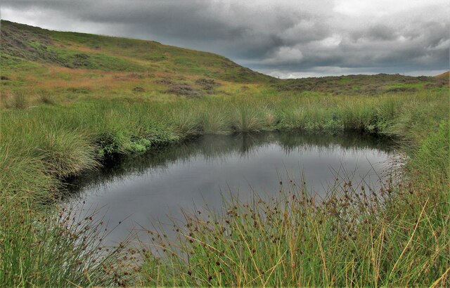
Urchin Clough is a picturesque valley nestled in the heart of Derbyshire, England. Located just south of the village of Hayfield, it is renowned for its stunning natural beauty and tranquil atmosphere. The name "Urchin Clough" originates from the Old English word "urchin," meaning hedgehog, which is a testament to the area's abundant wildlife.
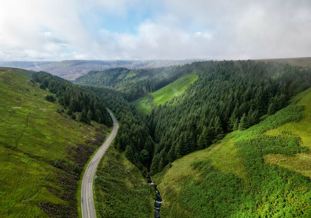
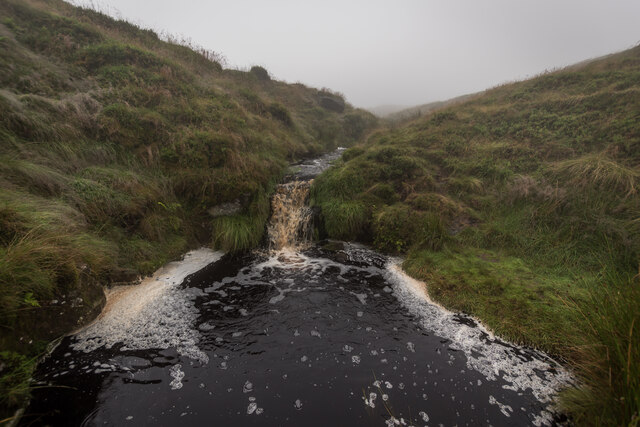
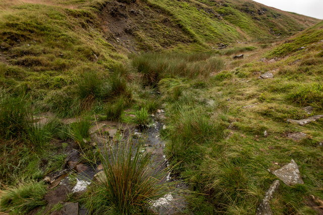
The valley is characterized by its lush greenery, rolling hills, and meandering stream that flows through its center. The stream, known as the River Sett, creates a soothing soundtrack as it cascades over rocks and creates small waterfalls along its path. The surrounding woodland is predominantly made up of oak, beech, and birch trees, providing a rich habitat for a diverse range of flora and fauna.
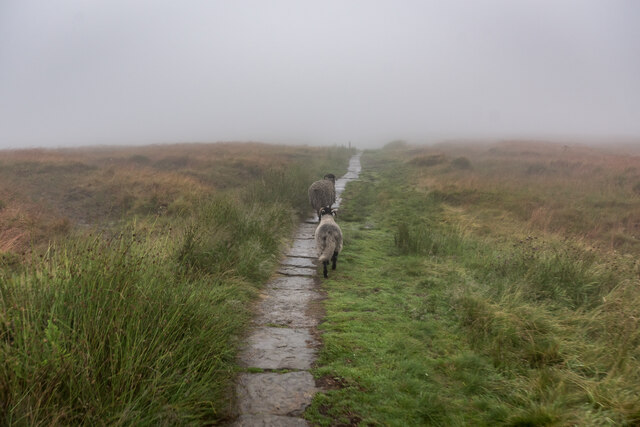
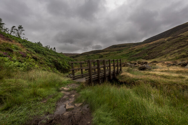
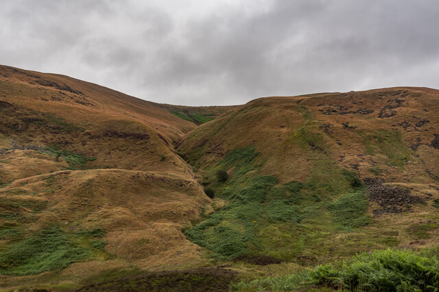
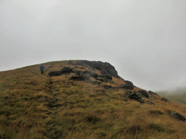
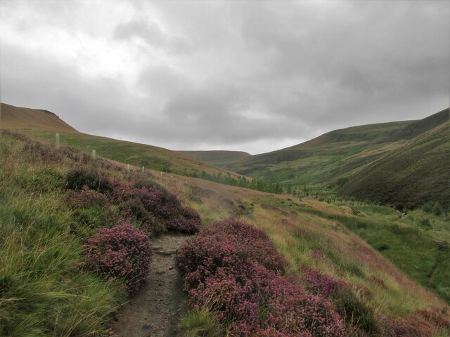
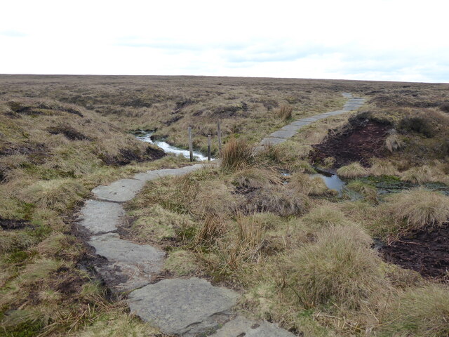
Urchin Clough is a haven for outdoor enthusiasts, offering a plethora of activities such as hiking, birdwatching, and picnicking. The valley is intersected by numerous footpaths and trails, including the Pennine Bridleway, offering visitors the opportunity to explore the area's natural wonders at their own pace. The elevated vantage points provide breathtaking views of the surrounding Peak District National Park, further enhancing the charm of the valley.
The valley's idyllic setting has also attracted artists and photographers, who find inspiration in its serene landscapes and ever-changing colors throughout the seasons. Its peaceful ambiance makes it a popular destination for those seeking solace and a break from the hustle and bustle of everyday life.
In summary, Urchin Clough is a true gem in Derbyshire, offering a tranquil retreat amidst breathtaking natural beauty. Whether visitors seek adventure, relaxation, or creative inspiration, this valley has something to offer everyone.
If you have any feedback on the listing, please let us know in the comments section below.
Urchin Clough Images
Images are sourced within 2km of 53.436267/-1.8721047 or Grid Reference SK0893. Thanks to Geograph Open Source API. All images are credited.


Urchin Clough is located at Grid Ref: SK0893 (Lat: 53.436267, Lng: -1.8721047)
Administrative County: Derbyshire
District: High Peak
Police Authority: Derbyshire
What 3 Words
///strumming.sulky.flagged. Near Glossop, Derbyshire
Nearby Locations
Related Wikis

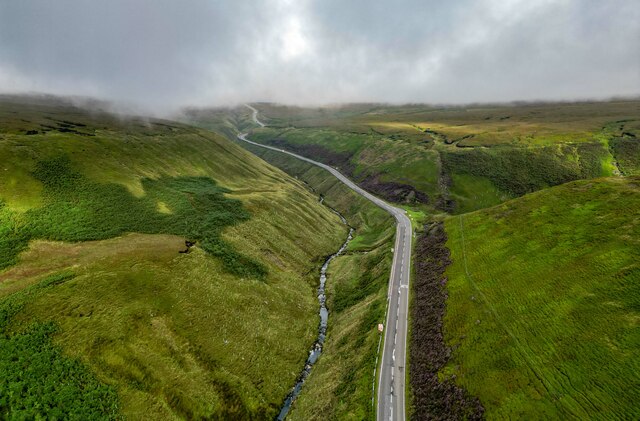
Snake Pass
Snake Pass is a hill pass in the Derbyshire section of the Peak District, crossing the Pennines between Glossop and the Ladybower Reservoir at Ashopton...

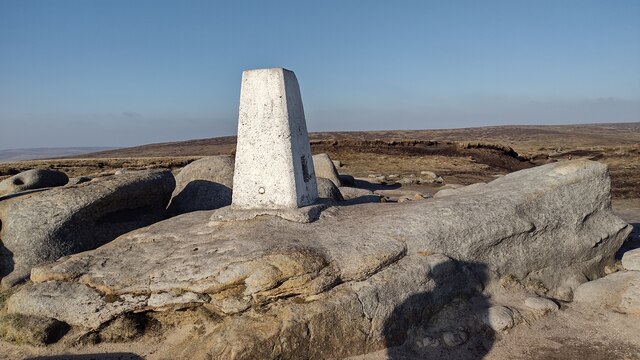
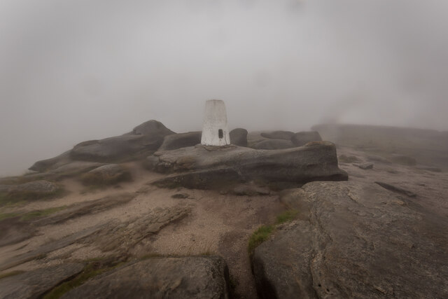
Featherbed Top
Featherbed Top is an open, flat-topped hill, 544 metres (1,785 ft) high, in the Peak District in the county of Derbyshire in England. == Description... ==

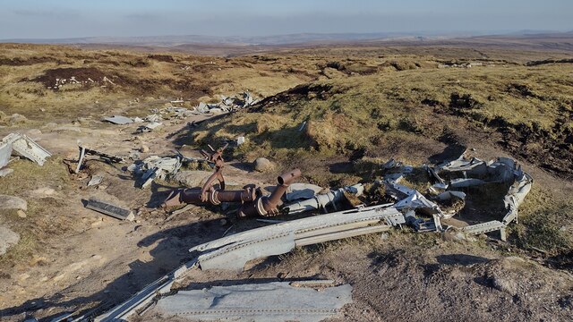
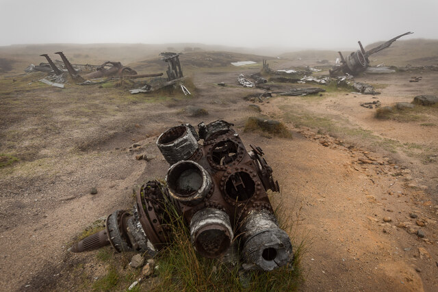
Bleaklow Bomber
The Bleaklow Bomber was a US Air Force (USAF) Boeing RB-29A Superfortress that crashed near Higher Shelf Stones on Bleaklow in the Peak District in 1948...

Bleaklow
Bleaklow is a high, largely peat-covered, gritstone moorland in the Derbyshire High Peak near the town of Glossop. It is north of Kinder Scout, across...

Hurst Reservoir
Hurst Reservoir is a former, now disused, reservoir near Glossop, north Derbyshire. == History == In 1837, 50 local millowners and gentlemen, known as...

Mossy Lea Reservoir
Mossy Lea Reservoir is a disused reservoir near Glossop, north Derbyshire. In 1837, 50 local millowners and gentlemen, known as the "Glossop Commissioners...

Mill Hill (Derbyshire)
Mill Hill is an open, flat-topped hill, 1,785 feet (544 m) above sea level, in the Peak District in the county of Derbyshire in England. == Location... ==
All Saints' Church, Glossop
All Saints’ Church, Glossop, is a Grade II listed parish church in the Church of England: 218 in Glossop, Derbyshire, England. == History == The first...
Nearby Amenities
Located within 500m of 53.436267,-1.8721047Have you been to Urchin Clough?
Leave your review of Urchin Clough below (or comments, questions and feedback).