Rockyjoint Plantation
Wood, Forest in Cambridgeshire South Cambridgeshire
England
Rockyjoint Plantation
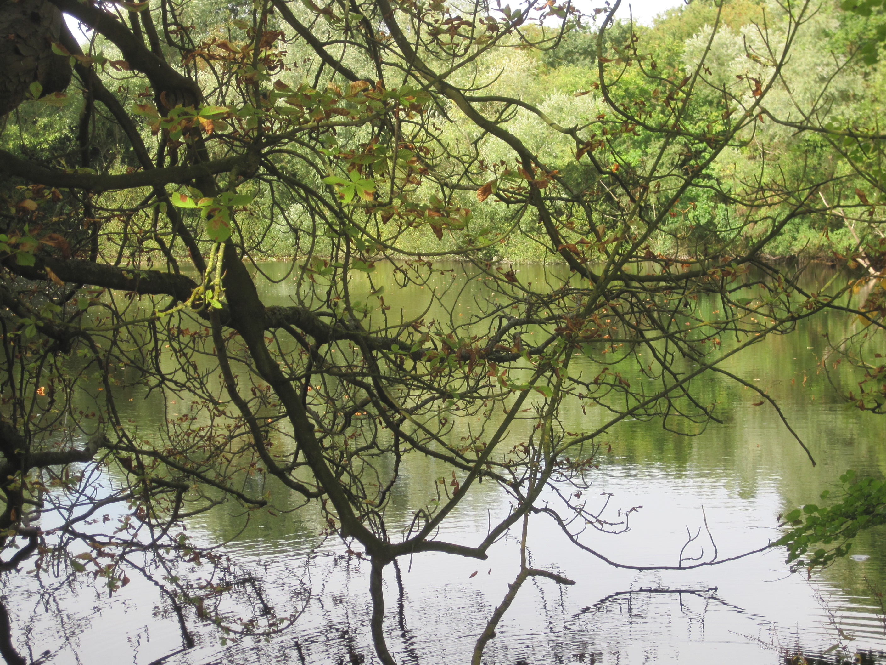
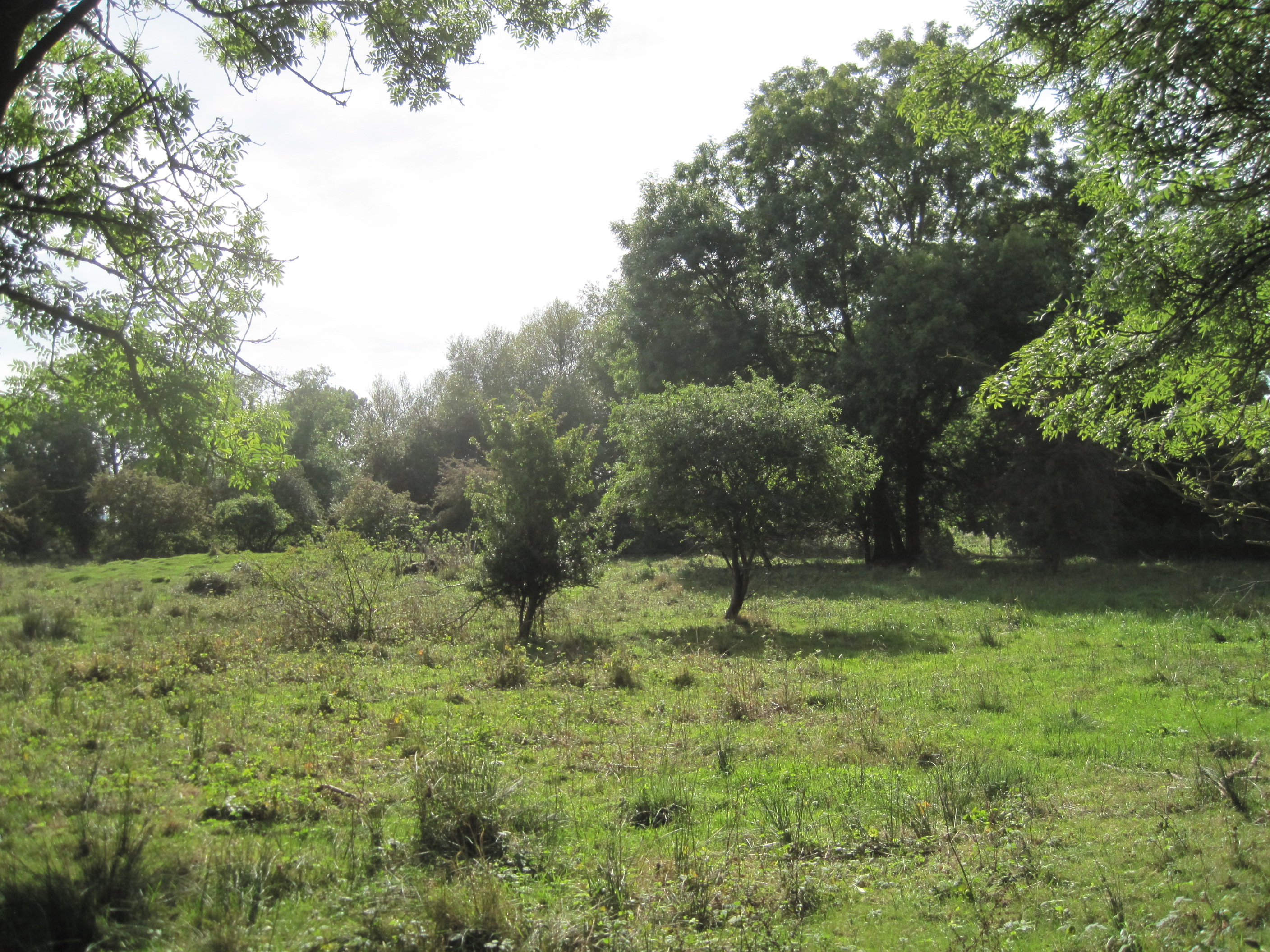
Rockyjoint Plantation is a picturesque woodland located in Cambridgeshire, England. Spread across a vast area, this plantation is known for its dense forest and diverse wildlife. The plantation is situated in a rural area, surrounded by rolling hills and meandering rivers, creating a serene and tranquil atmosphere.
The woodland in Rockyjoint Plantation is predominantly made up of a variety of trees, including oak, beech, and maple. These majestic trees provide a lush and green canopy, allowing sunlight to filter through the foliage and create a soothing ambiance. The forest floor is covered in a thick layer of moss and fallen leaves, providing a soft and cushioned pathway for visitors.
The plantation is home to a rich and diverse range of wildlife. It serves as a sanctuary for numerous species of birds, including woodpeckers, owls, and songbirds, making it a haven for birdwatchers. Additionally, the forest is inhabited by various mammals such as deer, foxes, and rabbits, adding to the natural beauty and biodiversity of the area.
Visitors to Rockyjoint Plantation can enjoy a range of outdoor activities. Walking and hiking trails wind through the woodland, providing opportunities for exploration and exercise. The plantation also offers designated picnic areas, allowing visitors to soak in the tranquility of nature while enjoying a meal.
Overall, Rockyjoint Plantation in Cambridgeshire is a stunning woodland that offers a peaceful escape from the hustle and bustle of everyday life. With its diverse flora and fauna, it provides a unique and enriching experience for nature enthusiasts and outdoor lovers.
If you have any feedback on the listing, please let us know in the comments section below.
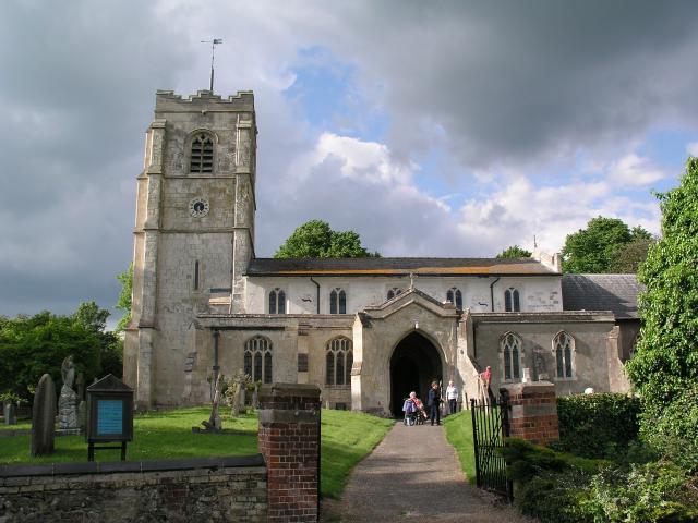
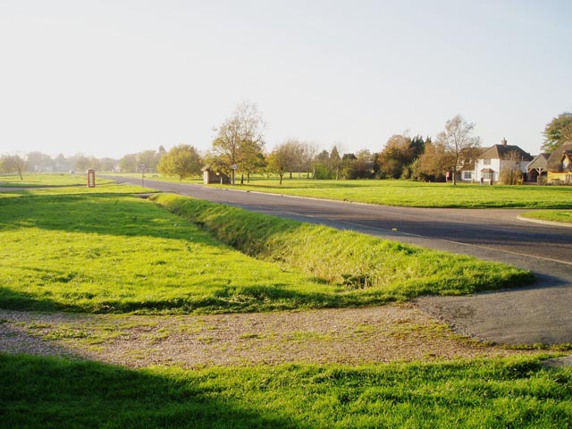
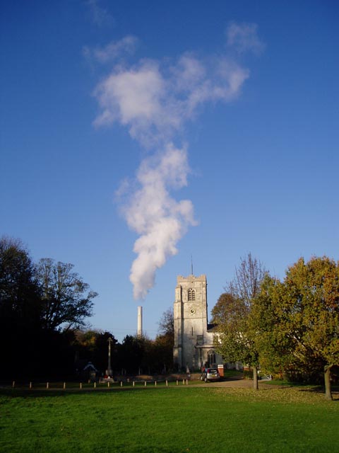
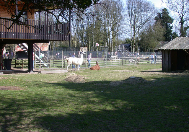
Rockyjoint Plantation Images
Images are sourced within 2km of 52.117564/0.029998668 or Grid Reference TL3948. Thanks to Geograph Open Source API. All images are credited.


Rockyjoint Plantation is located at Grid Ref: TL3948 (Lat: 52.117564, Lng: 0.029998668)
Administrative County: Cambridgeshire
District: South Cambridgeshire
Police Authority: Cambridgeshire
What 3 Words
///agree.pokes.ranch. Near Meldreth, Cambridgeshire
Nearby Locations
Related Wikis

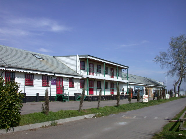
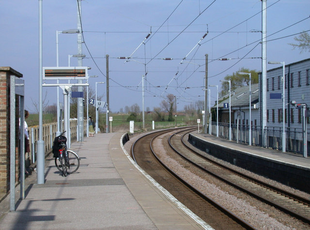
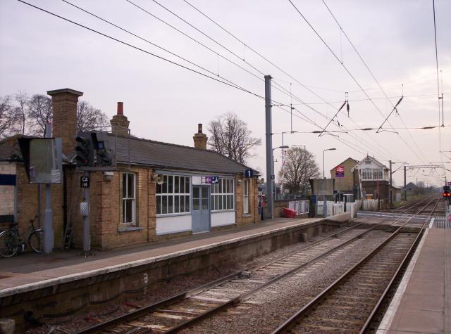
Shepreth railway station
Shepreth railway station serves the village of Shepreth in Cambridgeshire, England. The station is on the Cambridge Line, 49 miles 67 chains (49.84 miles...

Shepreth
Shepreth is a small village and civil parish in South Cambridgeshire, lying halfway between Cambridge and Royston. == History == The parish of Shepreth...
Barrington Pit
Barrington Pit is a 3.8-hectare (9.4-acre) geological Site of Special Scientific Interest near Barrington in Cambridgeshire. It is a Geological Conservation...
L-Moor, Shepreth
L-Moor, Shepreth is a 6.6-hectare (16-acre) biological Site of Special Scientific Interest in Shepreth in Cambridgeshire. It is managed by the Wildlife...

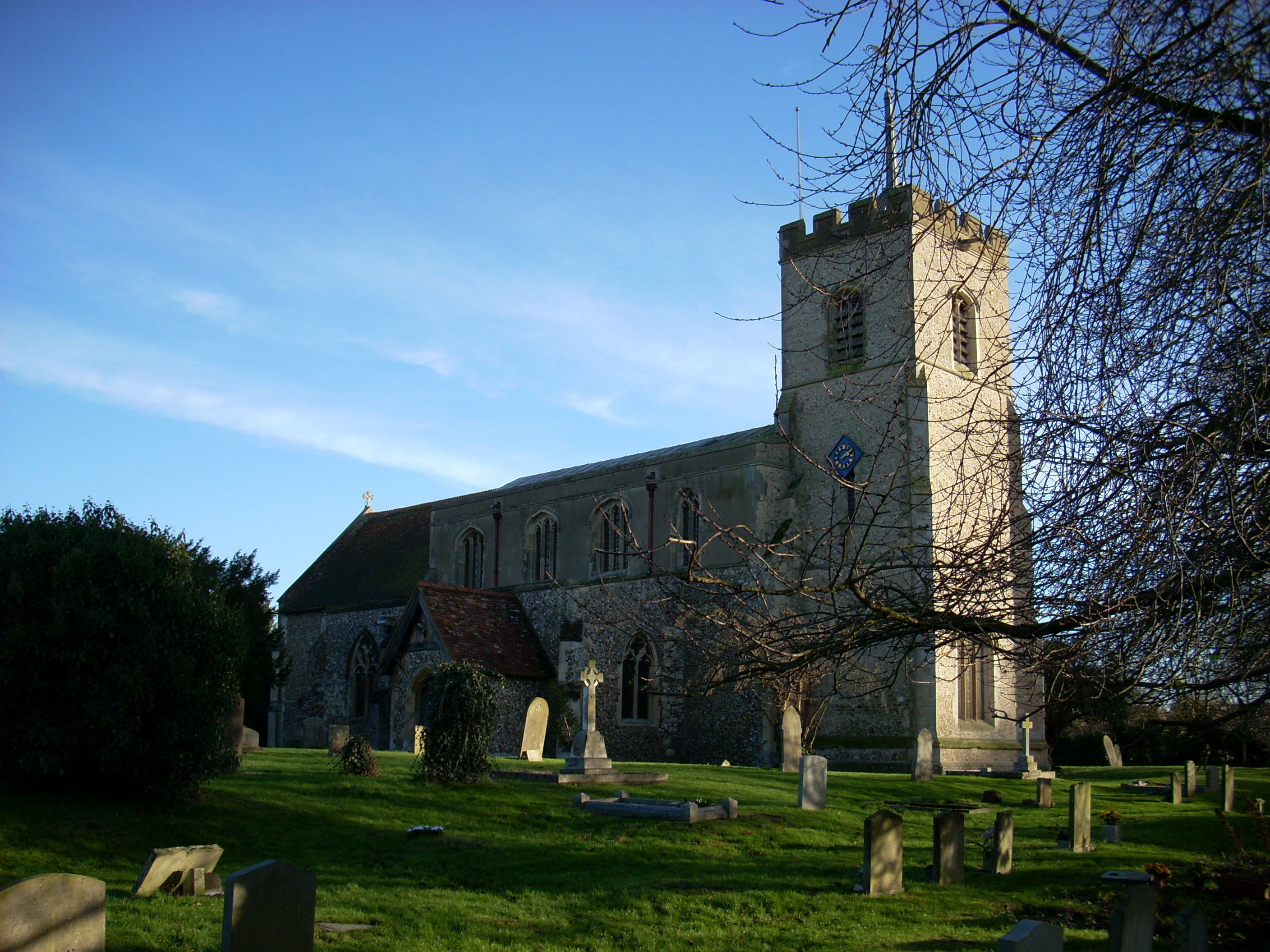
Barrington, Cambridgeshire
Barrington is a small village and civil parish in the South Cambridgeshire district of Cambridgeshire, England. The village is about 7 miles (11 km) south...
Foxton railway station
Foxton railway station serves the village of Foxton in Cambridgeshire, England. It is 50 miles 77 chains (50.96 miles, 82.02 km) from London King's Cross...
Foxton, Cambridgeshire
Foxton is a small village in South Cambridgeshire, England. It has a number of well-preserved fifteenth- and sixteenth-century houses, and a thirteenth...

Barrington Chalk Pit
Barrington Chalk Pit is a 97.1-hectare (240-acre) geological Site of Special Scientific Interest near Barrington in Cambridgeshire. It is a Geological...
Nearby Amenities
Located within 500m of 52.117564,0.029998668Have you been to Rockyjoint Plantation?
Leave your review of Rockyjoint Plantation below (or comments, questions and feedback).