Devil's Ring and Finger
Heritage Site in Staffordshire Newcastle-under-Lyme
England
Devil's Ring and Finger
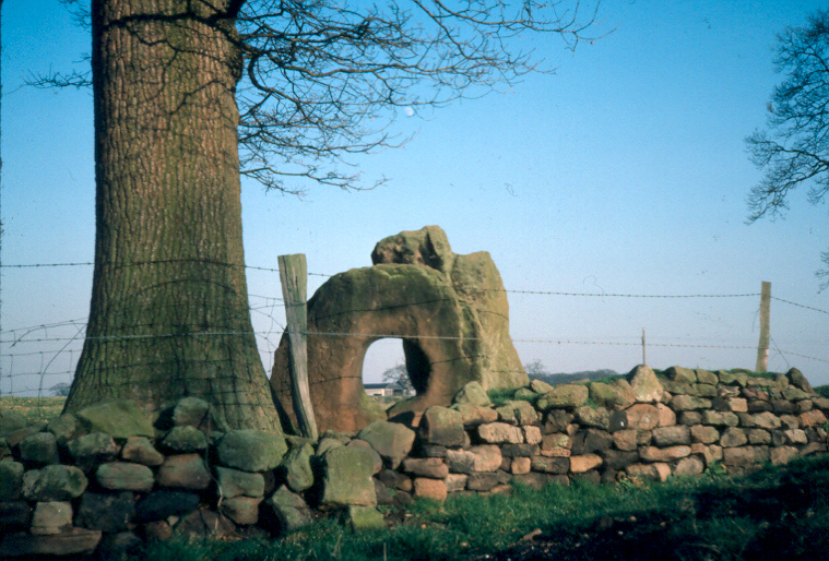
Devil's Ring and Finger, located in Staffordshire, England, is a renowned heritage site that holds great historical significance. The site comprises two distinct ancient earthworks, namely Devil's Ring and Devil's Finger, which are believed to have been constructed during the Iron Age.
Devil's Ring is a circular earthwork, measuring approximately 90 meters in diameter. It consists of a ditch and bank formation, with the ditch being around 5 meters wide and the bank approximately 3 meters high. The circular design suggests that it may have served as a defensive structure or possibly as a ceremonial enclosure. The site's name is derived from local legends and folklore, associating it with supernatural entities, although its original purpose remains uncertain.
Adjacent to Devil's Ring is Devil's Finger, a linear earthwork that extends for around 200 meters. This earthwork consists of a ditch and bank formation as well, with the ditch being approximately 6 meters wide and the bank reaching a height of about 4 meters. Devil's Finger may have served as a boundary marker or as a territorial division during ancient times.
Both Devil's Ring and Devil's Finger are protected as scheduled monuments under UK legislation, signifying their archaeological and historical significance. The site attracts numerous visitors, including archaeologists, history enthusiasts, and tourists interested in exploring the region's ancient past. Its unique design, mysterious origins, and picturesque landscape make Devil's Ring and Finger an intriguing and captivating heritage site in Staffordshire.
If you have any feedback on the listing, please let us know in the comments section below.
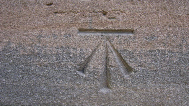
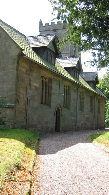
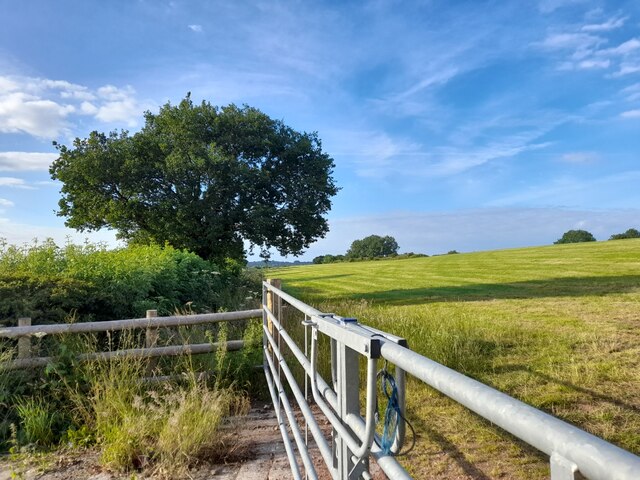
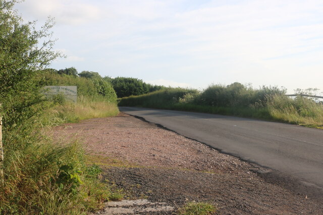
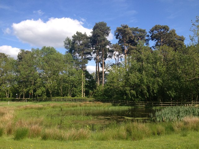
Devil's Ring and Finger Images
Images are sourced within 2km of 52.933/-2.438 or Grid Reference SJ7037. Thanks to Geograph Open Source API. All images are credited.
Devil's Ring and Finger is located at Grid Ref: SJ7037 (Lat: 52.933, Lng: -2.438)
Administrative County: Staffordshire
District: Newcastle-under-Lyme
Police Authority: Staffordshire
What 3 Words
///picnic.movement.agents. Near Market Drayton, Shropshire
Related Wikis
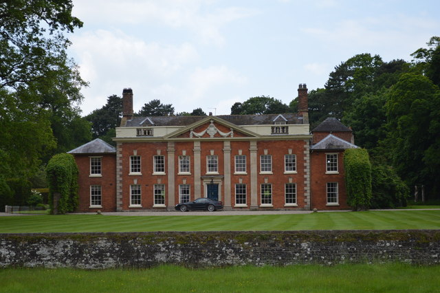
Oakley Hall, Staffordshire
Oakley Hall is an early 18th century 14,929 sf mansion house at Mucklestone, Staffordshire near to the Shropshire town of Market Drayton. It is a Grade...

Norton in Hales
Norton in Hales is a village and parish in Shropshire, England. It lies on the A53 between the town of Market Drayton and Woore, Shropshire's most northeasterly...

Oakley, Staffordshire
Oakley is a hamlet in Staffordshire, England. It is within Mucklestone ward of Loggerheads Parish. Oakley Hall, a former seat of the Chetwode family, is...
Norton-in-Hales railway station
Norton-in-Hales railway station was a station on the North Staffordshire Railway between Stoke-on-Trent and Market Drayton. The station was opened in 1870...
Mucklestone
Mucklestone is a village and former civil parish, now in the parish of Loggerheads, in the Newcastle-under-Lyme district, in the county of Staffordshire...

Betton, Shropshire
Betton is a hamlet in the civil parish of Norton in Hales, in the Shropshire district, in the county of Shropshire, England.

Audley's Cross
Audley's Cross is a cross sited in Blore Heath, Staffordshire to mark the spot on which James Touchet, Lord Audley was killed at the battle of Blore Heath...

Battle of Blore Heath
The Battle of Blore Heath was a battle in the English Wars of the Roses that was fought on 23 September 1459, at Blore Heath, Staffordshire. Blore Heath...
Have you been to Devil's Ring and Finger?
Leave your review of Devil's Ring and Finger below (or comments, questions and feedback).