Bath Clump
Wood, Forest in Staffordshire Newcastle-under-Lyme
England
Bath Clump
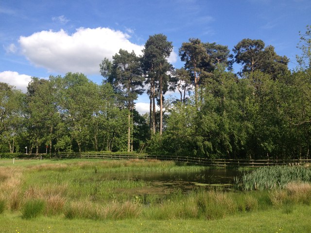
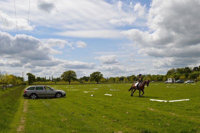
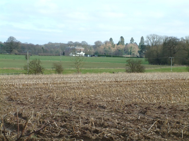
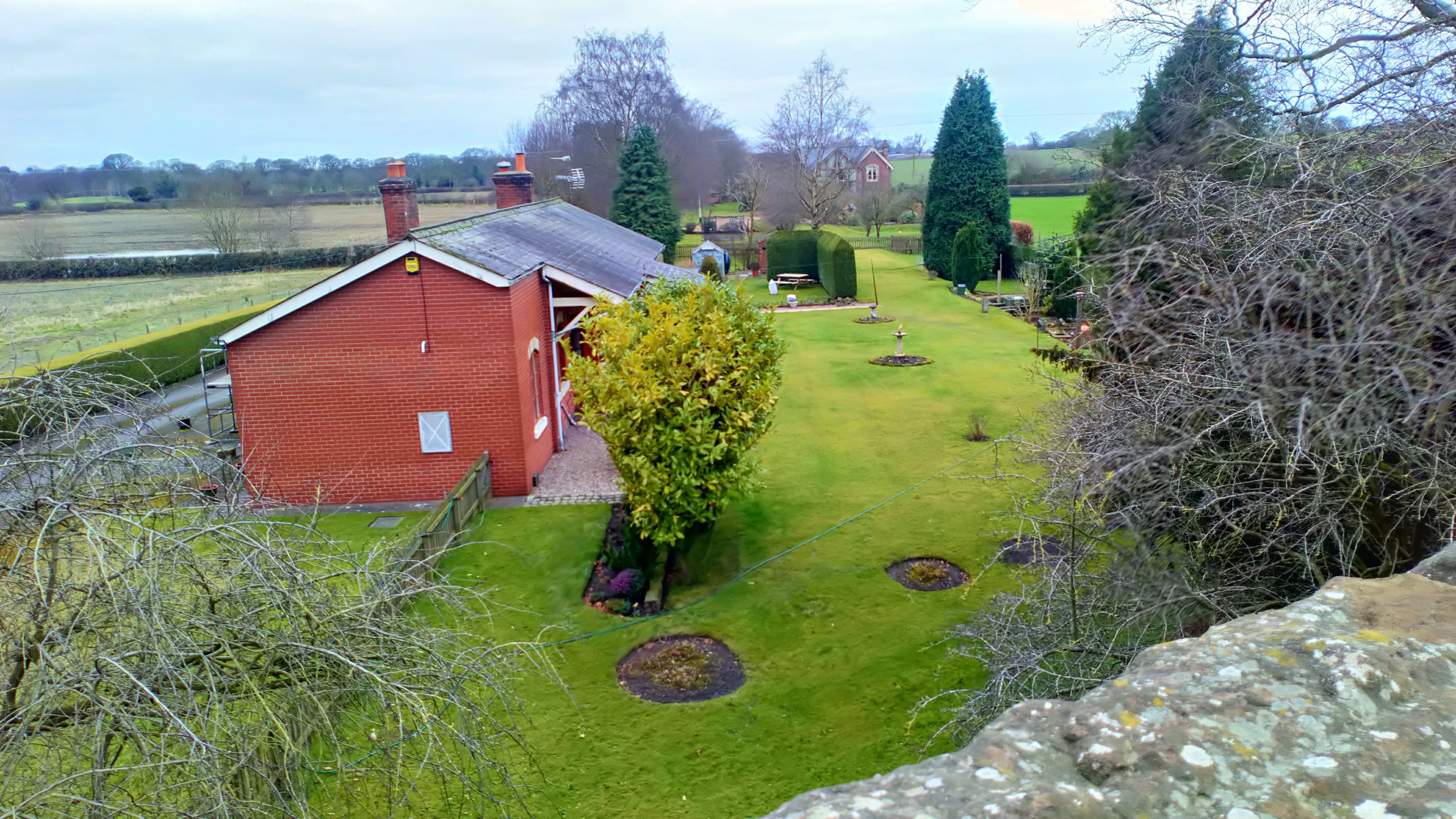
Bath Clump, located in Staffordshire, England, is a picturesque woodland area known for its natural beauty and historic significance. Situated in the heart of the county, this forested area covers approximately 100 acres of land and offers a serene escape from the hustle and bustle of everyday life.
The woodland of Bath Clump is predominantly composed of broadleaf trees, including oak, beech, and birch, which create a diverse and vibrant ecosystem. The forest floor is adorned with a rich carpet of wildflowers, adding bursts of color to the landscape during the spring and summer months. The area is also home to a variety of wildlife, including deer, foxes, and numerous bird species, making it a haven for nature enthusiasts and birdwatchers.
The history of Bath Clump dates back centuries, with evidence of human habitation in the area dating as far back as the Iron Age. The woodland has been used for various purposes over the years, including timber production and hunting grounds for local nobility. Today, Bath Clump is managed by the Staffordshire County Council, which ensures its preservation and protection for future generations to enjoy.
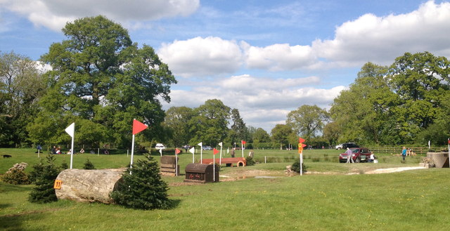
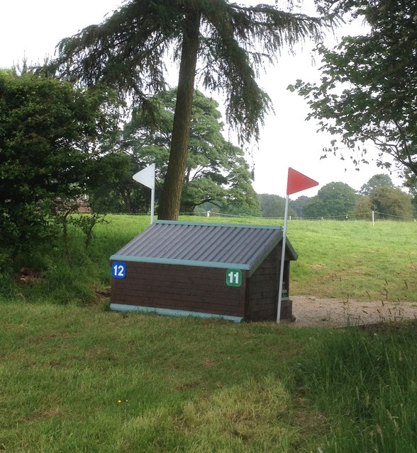
Visitors to Bath Clump can explore the forest through a network of well-maintained walking trails, offering the opportunity to immerse themselves in nature and discover hidden gems along the way. The peaceful atmosphere and breathtaking scenery make it an ideal destination for outdoor activities such as hiking, picnicking, and photography.
In conclusion, Bath Clump in Staffordshire is a captivating woodland area that combines natural beauty with a rich historical heritage. Its diverse flora and fauna, along with its tranquil ambiance, make it a cherished destination for both locals and tourists seeking a connection with nature.
If you have any feedback on the listing, please let us know in the comments section below.
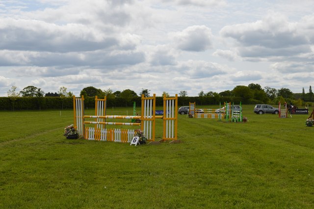
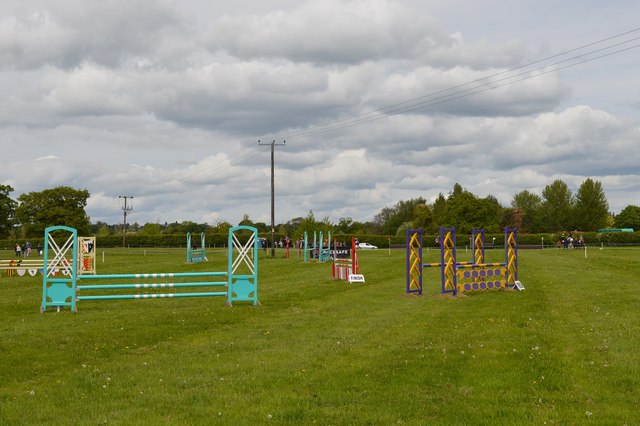
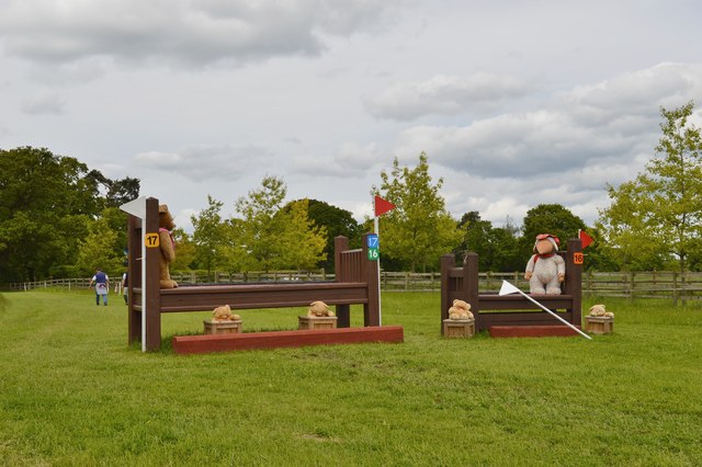
Bath Clump Images
Images are sourced within 2km of 52.933554/-2.4421951 or Grid Reference SJ7037. Thanks to Geograph Open Source API. All images are credited.


Bath Clump is located at Grid Ref: SJ7037 (Lat: 52.933554, Lng: -2.4421951)
Administrative County: Staffordshire
District: Newcastle-under-Lyme
Police Authority: Staffordshire
What 3 Words
///renovated.surface.trucked. Near Market Drayton, Shropshire
Related Wikis
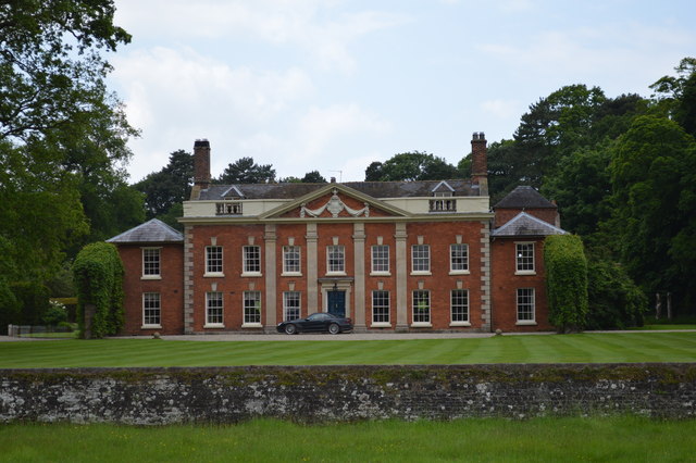
Oakley Hall, Staffordshire
Oakley Hall is an early 18th century 14,929 sf mansion house at Mucklestone, Staffordshire near to the Shropshire town of Market Drayton. It is a Grade...

Norton in Hales
Norton in Hales is a village and parish in Shropshire, England. It lies on the A53 between the town of Market Drayton and Woore, Shropshire's most northeasterly...

Oakley, Staffordshire
Oakley is a hamlet in Staffordshire, England. It is within Mucklestone ward of Loggerheads Parish. Oakley Hall, a former seat of the Chetwode family, is...
Norton-in-Hales railway station
Norton-in-Hales railway station was a station on the North Staffordshire Railway between Stoke-on-Trent and Market Drayton. The station was opened in 1870...

Betton, Shropshire
Betton is a hamlet in the civil parish of Norton in Hales, in the Shropshire district, in the county of Shropshire, England.
Mucklestone
Mucklestone is a village and former civil parish, now in the parish of Loggerheads, in the Newcastle-under-Lyme district, in the county of Staffordshire...

Ridgwardine
Ridgwardine is a small hamlet in Shropshire in the civil parish of Norton in Hales. It is made up of Ridgwardine Manor, Upper Farm, and Manor Farm. �...

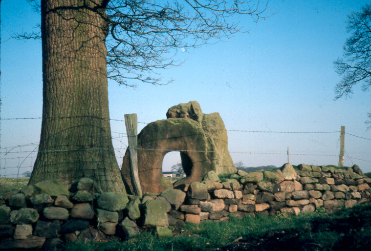
Audley's Cross
Audley's Cross is a cross sited in Blore Heath, Staffordshire to mark the spot on which James Touchet, Lord Audley was killed at the battle of Blore Heath...
Related Videos
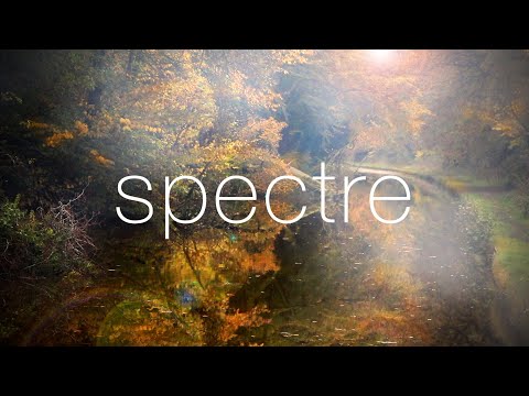
Spectre
The Spectre. Halloween, narrowboat Reverie is moored in Brownhills Wood on the Shropshire Union canal, a spot renowned for ...
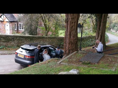
2021.11.06 #2 St Mary's Mucklestone, UK
Dave Hurr watches a bride arrive at St Mary's Mucklestone, UK.

TRX4 1st run FLOODING
Takeing our trx4s out 1st time Flooding in Shropshire More to come soon....
Have you been to Bath Clump?
Leave your review of Bath Clump below (or comments, questions and feedback).