Green Nook Wood

Wood, Forest in Lancashire Ribble Valley

England

Green Nook Wood

Petre Petrol Station and Garage Petrol Station, Car Wash and Garage
Petre Petrol Station and Garage Credit: Richard Cook

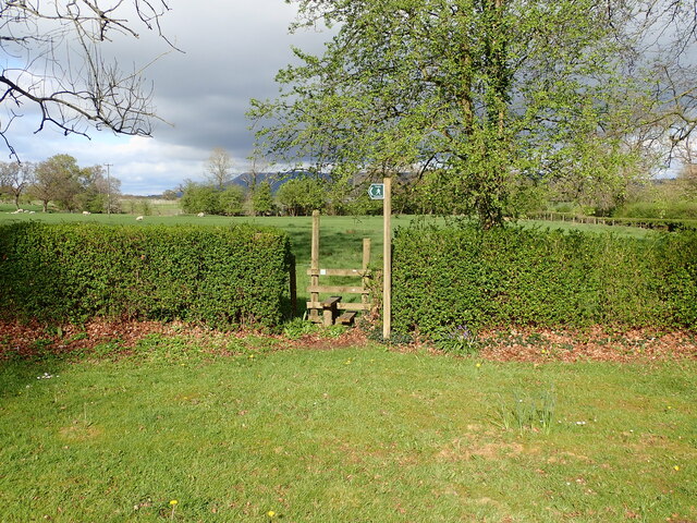
Green Nook Wood is a beautiful woodland located in Lancashire, England. Covering an area of approximately 50 acres, it is a popular destination for nature enthusiasts and outdoor lovers. The wood is situated near the village of Green Nook, which gives it its name.

The woodland is predominantly made up of native deciduous trees, such as oak, beech, and birch. These trees create a dense canopy that provides a haven for a wide variety of wildlife. Visitors to Green Nook Wood can expect to see an array of bird species, including woodpeckers, thrushes, and owls. The forest floor is also home to many small mammals, such as squirrels, rabbits, and voles.

The wood offers a network of well-maintained trails, allowing visitors to explore its natural beauty. These paths wind through the trees, providing stunning views of the surrounding countryside. There are also designated picnic areas, making it an ideal spot for families to enjoy a day out.

Green Nook Wood is cared for by the local forestry commission, ensuring its preservation and sustainability. The organization takes great pride in maintaining the woodland's biodiversity and protecting its delicate ecosystem.

Overall, Green Nook Wood is a tranquil and picturesque forest that offers an escape from the hustle and bustle of everyday life. Its diverse flora and fauna, combined with its well-maintained trails, make it a must-visit destination for nature enthusiasts and those seeking a peaceful retreat in Lancashire.

If you have any feedback on the listing, please let us know in the comments section below.

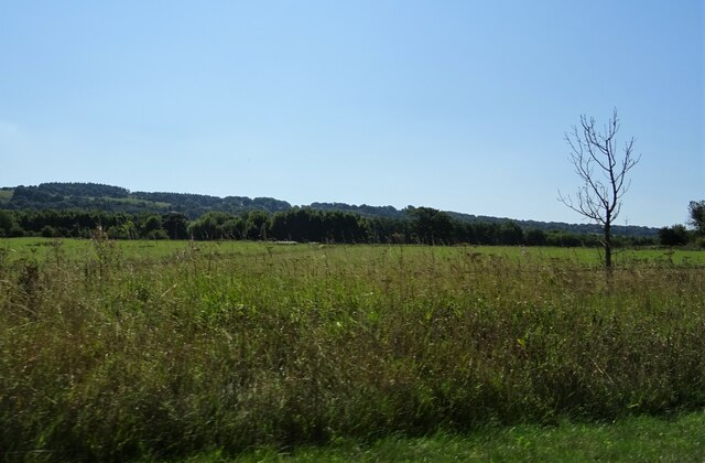
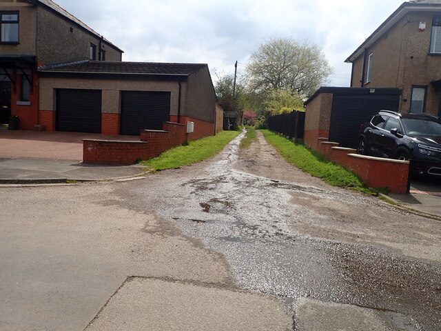
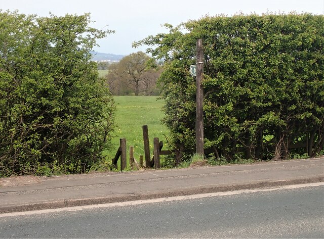
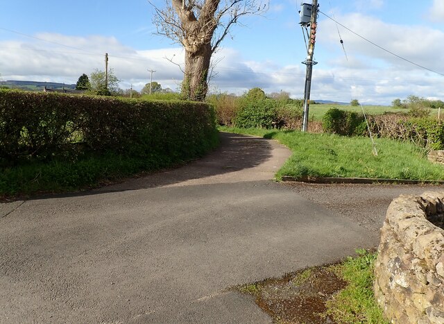
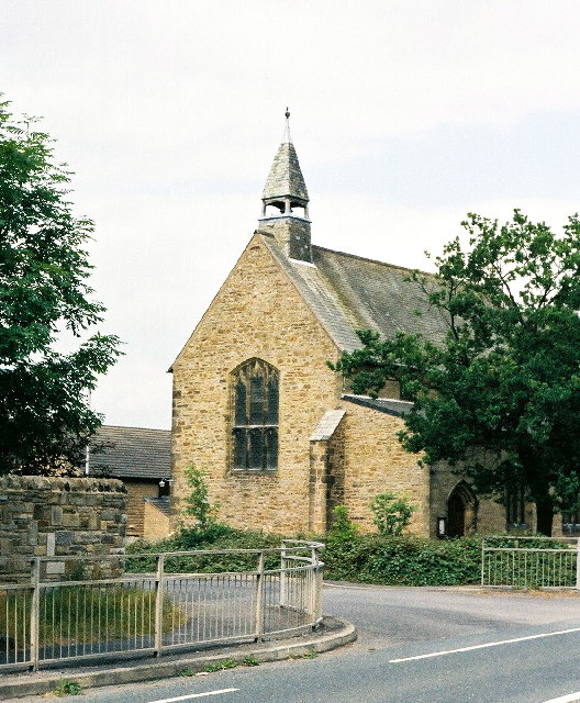
Green Nook Wood Images

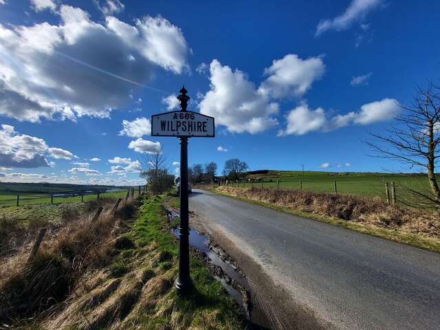
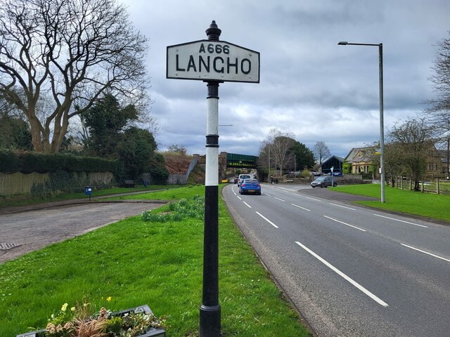
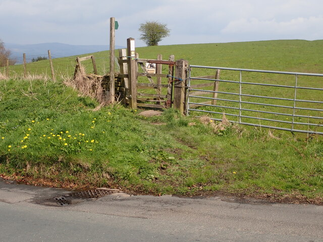
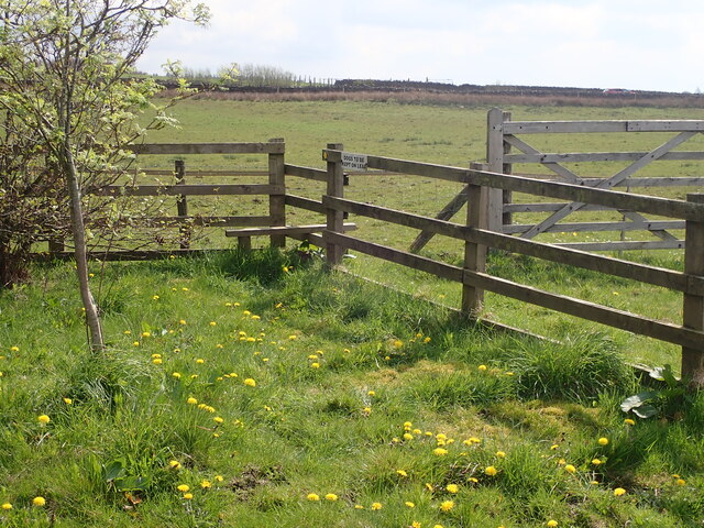
Images are sourced within 2km of 53.807085/-2.4513405 or Grid Reference SD7034. Thanks to Geograph Open Source API. All images are credited.

Petre Petrol Station and Garage Petrol Station, Car Wash and Garage
Petre Petrol Station and Garage
Petrol Station, Car Wash and Garage
St Leonard's C of E Primary School Main entrance - original building
St Leonard's C of E Primary School
Main entrance - original building
Clitheroe to Rochdale service (150004)
Northcote Road At its junction with the A59.
Northcote Road
At its junction with the A59.
Farmland off the A59 Near Billington.
Farmland off the A59
Near Billington.
Village Signpost on York Road, Wilpshire Located on the southeast side of York Road in Wilpshire parish. 

Milestone Society National ID: LA_SD7032V
Village Signpost on York Road, Wilpshire
Located on the southeast side of York Road in Wilpshire parish. Milestone Society National ID: LA_SD7032V
Village Signpost on the A666 in Langho Located on the east side of the A666 south of its junction with Whalley Road in Billington and Langho parish. 

Milestone Society National ID: LA_SD7034V
Village Signpost on the A666 in Langho
Located on the east side of the A666 south of its junction with Whalley Road in Billington and Langho parish. Milestone Society National ID: LA_SD7034V
Stile Old Nab Road The stile on Old Nab Road just out of York Village. The style provides access to more than one path.
Stile Old Nab Road
The stile on Old Nab Road just out of York Village. The style provides access to more than one path.
Footpath Snodworth Road The style leading to the footpath on the bend at the top of Snodworth Road.
Footpath Snodworth Road
The style leading to the footpath on the bend at the top of Snodworth Road.
Footpath from track to Little Snodworth The style providing access to the footpath leading from the track to Little Snodworth The track is located just off the top of Snodworth Road.
Footpath from track to Little Snodworth
The style providing access to the footpath leading from the track to Little Snodworth The track is located just off the top of Snodworth Road.
Footpath from Larkhill Cottages The stile for the footpath at Larkhill Cottages leading across the fields towards Hacking Hall.
Footpath from Larkhill Cottages
The stile for the footpath at Larkhill Cottages leading across the fields towards Hacking Hall.
Road junction Chapel Lane meets the A59 south of Dinckley.
Road junction
Chapel Lane meets the A59 south of Dinckley.
Dinckley Bridge Carrying Ribchester Road over Dinckley Brook.
Dinckley Bridge
Carrying Ribchester Road over Dinckley Brook.
Rydings end The end of the road on the Rydings, the gate provides access to the field beyond.
Rydings end
The end of the road on the Rydings, the gate provides access to the field beyond.
Footpath Lyndale Avenue The path from Lyndale Avenue leading up to Whalley Road.
Footpath Lyndale Avenue
The path from Lyndale Avenue leading up to Whalley Road.
Footpath off Longsight Road The access to the footpath on Longsight Road opposite the entrance to Dewhurst farm.
Footpath off Longsight Road
The access to the footpath on Longsight Road opposite the entrance to Dewhurst farm.
Bend in Moorgate Lane The lane bends off to the left at this point and becomes a very narrow single track road leading off towards Craven Fold Farm.
Bend in Moorgate Lane
The lane bends off to the left at this point and becomes a very narrow single track road leading off towards Craven Fold Farm.
Tippings Farm Like so many former farms in Ribble Valley this is now a private residence.
Tippings Farm
Like so many former farms in Ribble Valley this is now a private residence.
Show me another place!

Green Nook Wood is located at Grid Ref: SD7034 (Lat: 53.807085, Lng: -2.4513405)

Administrative County: Lancashire

District: Ribble Valley

Police Authority: Lancashire

What 3 Words

///mended.custodian.preheated. Near Langho, Lancashire

Related Wikis

Langho

Langho is a small rural village 5 miles (8 km) north of Blackburn in the Ribble Valley, Lancashire, England. It is part of the parish of Billington and...

Langho railway station

Langho railway station serves the village of Langho in the Ribble Valley in Lancashire, England. The station is 5+1⁄4 miles (8.4 km) north of Blackburn...

Northcote, Langho

Northcote is a hotel and restaurant in a 19th-century manor house in Langho, Lancashire, England. The restaurant has held a Michelin star since the 1996...

New St Leonard's Church, Langho

New St Leonard's Church is in Whalley New Road, between the villages of Langho and Billington in Lancashire, England. It is an active Anglican parish...
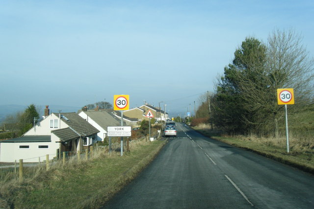
York, Lancashire

York is a hamlet in the Ribble Valley district of the county of Lancashire, England. Part of the Billington and Langho civil parish, it is located southeast...

Old St Leonard's Church, Langho

Old St Leonard's Church is a redundant Anglican church 1 mile (1.6 km) northwest of the village of Langho, Lancashire, England. It is recorded in the...

Billington and Langho

Billington and Langho is a civil parish in the Ribble Valley district of Lancashire, England, covering the villages of Billington and Langho and the hamlets...

Brockhall Village

Brockhall Village is a gated community in the Ribble Valley, Lancashire, England. The village is in the civil parish of Billington and Langho and is 7...

Related Videos

Whalley Walking Tour 4K - English Country Village Walk (60fps)

The walk begins at Whalley viaduct then around Whalley Abbey, past the Church of Saint Mary and a brief walk through the ...

Walking 1450 km alone through Great Britain - Part 1 : South West England.

A walk in England across the Dartmoor national park and Exmoor national park, mostly along the Two moors way (plus a small ...

Walking the Pennine Way | July 2020 | Part 2: Middleton-in-Teesdale to Kirk Yetholm

It's been a while but here it finally is: the second part of the Pennine Way! During the last four days, my brother walked with me :) I ...

Tolkien Trail Circular Hike | Lancashire Walk

Today, me and my family explore the Tolkien Trail in Lancashire. People come from all over the world to walk the famous Tolkien ...

Nearby Amenities

Located within 500m of 53.807085,-2.4513405
Langho
Naptan AtcoCode: 9100LGHO
Network: National Rail
Network Website: https://www.nationalrail.co.uk/stations/lho/
Network Wikidata: Q26334
Operator: Northern Rail
Operator Website: https://www.northernrailway.co.uk/stations/langho
Operator Wikidata: Q85789775
Public Transport: station
Railway: station
Ref Crs: LHO
Source: NPE
Train: yes
Wikidata: Q2519968
Wikipedia: en:Langho railway station
Lat/Long: 53.8048112/-2.4488239
Bus Stop
Bus: yes
Public Transport: platform
Lat/Long: 53.8062886/-2.4455732
Bus Stop
Bus: yes
Naptan AtcoCode: 2500115
Naptan NaptanCode: lanagjaj
Public Transport: platform
Lat/Long: 53.8046698/-2.447837
Bus Stop
Bus: yes
Public Transport: platform
Lat/Long: 53.8041376/-2.4483627
Bus Stop
Bus: yes
Public Transport: platform
Lat/Long: 53.8066324/-2.4448221
Pharmacy
Langho Pharmacy
Healthcare: pharmacy
Lat/Long: 53.8038994/-2.4491403
Restaurant
Sylhet
Lat/Long: 53.8038928/-2.4482633
Sculpture
Shop: hairdresser
Lat/Long: 53.8045716/-2.4479765
Crossing
Crossing: marked
Crossing Ref: zebra
Lat/Long: 53.8045001/-2.4480201
Langho
Public Transport: stop_position
Railway: stop
Train: yes
Lat/Long: 53.805044/-2.4480853
Source: Bing
Lat/Long: 53.8055703/-2.4460957
Barrier: cattle_grid
Lat/Long: 53.8075476/-2.4546377
Langho
Public Transport: stop_position
Railway: stop
Train: yes
Lat/Long: 53.8046118/-2.4494757
The data included in this document is from www.openstreetmap.org. The data is made available under ODbL.

Have you been to Green Nook Wood?

Leave your review of Green Nook Wood below (or comments, questions and feedback).