Denton House
Heritage Site in Oxfordshire South Oxfordshire
England
Denton House

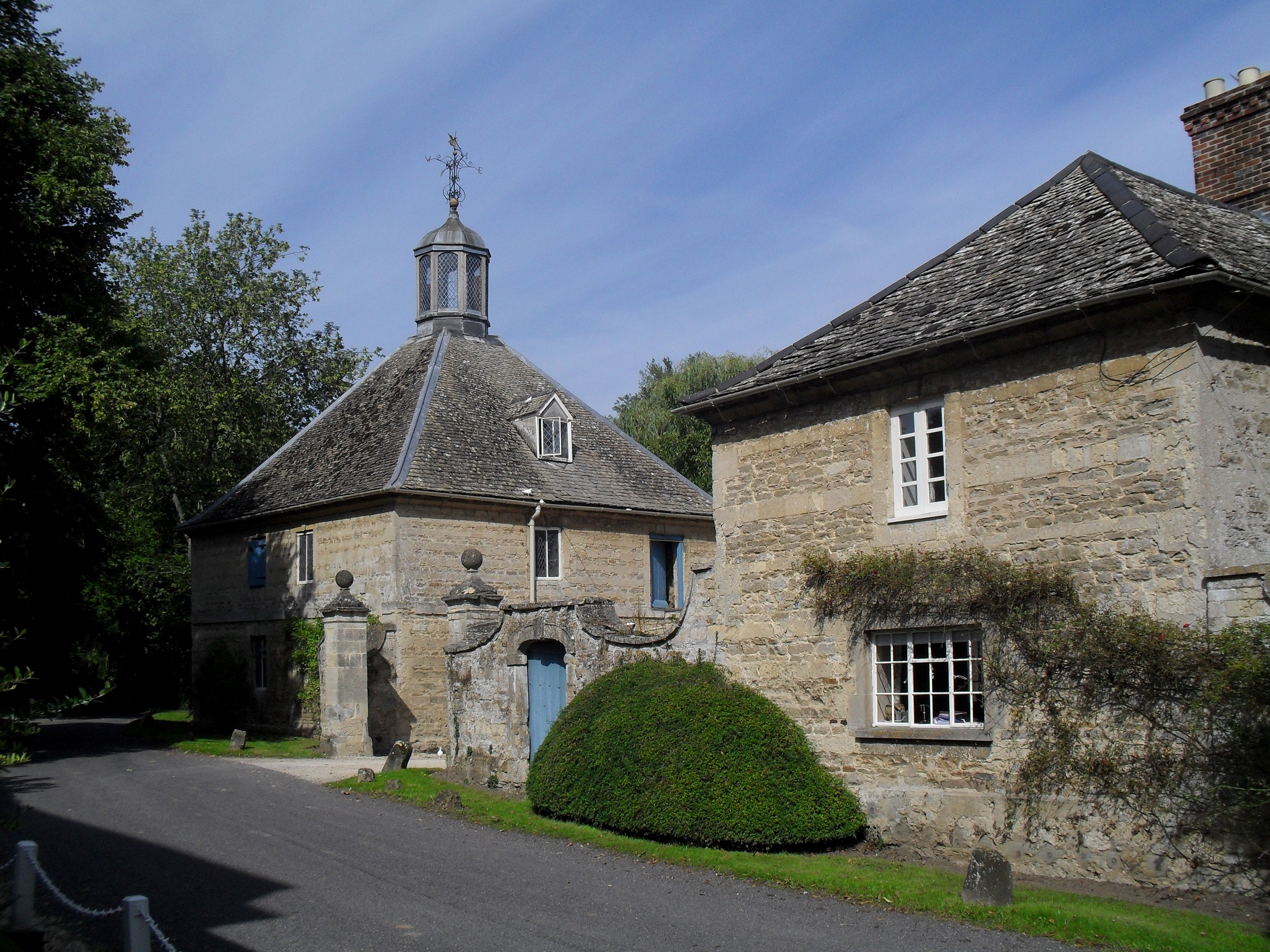
Denton House, located in Oxfordshire, England, is a historically significant heritage site that boasts a rich history dating back to the 16th century. The house is nestled within a picturesque landscape, surrounded by lush gardens and rolling countryside.
Originally built in the Tudor style, Denton House has undergone various architectural changes over the centuries, resulting in its unique blend of different architectural influences. The house has retained its original charm and character, with its timber-framed structure and distinctive thatched roof.
The interior of Denton House showcases a wealth of historical features and period furnishings. Visitors can explore the grand reception rooms, adorned with ornate fireplaces, intricate plasterwork, and exquisite tapestries. The house also boasts a collection of antique furniture, paintings, and artifacts, providing an insight into the lifestyle and tastes of the past inhabitants.
The surrounding gardens of Denton House are meticulously landscaped, featuring manicured lawns, vibrant flower beds, and tranquil water features. The gardens offer visitors a peaceful retreat, with walking paths that wind through the estate, providing stunning views of the Oxfordshire countryside.
Denton House is not only a testament to architectural and historical significance but also a venue for cultural events and exhibitions. The house hosts regular art exhibitions, showcasing the works of local and international artists, as well as cultural events that celebrate the heritage of the region.
In summary, Denton House in Oxfordshire is a captivating heritage site that offers visitors a glimpse into the past. With its architectural beauty, historical significance, and stunning gardens, it is a must-visit destination for history enthusiasts and nature lovers alike.
If you have any feedback on the listing, please let us know in the comments section below.
Denton House Images
Images are sourced within 2km of 51.717/-1.138 or Grid Reference SP5902. Thanks to Geograph Open Source API. All images are credited.


Denton House is located at Grid Ref: SP5902 (Lat: 51.717, Lng: -1.138)
Administrative County: Oxfordshire
District: South Oxfordshire
Police Authority: Thames Valley
What 3 Words
///muscular.dressing.reassured. Near Garsington, Oxfordshire
Nearby Locations
Related Wikis
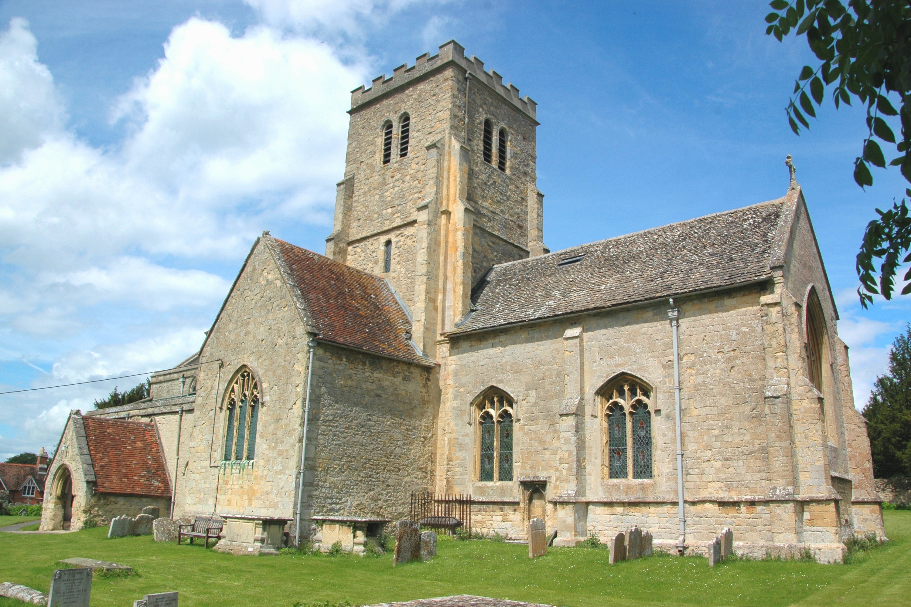
Denton, Oxfordshire
Denton is a hamlet and former civil parish, now in the parish of Cuddesdon and Denton, in the South Oxfordshire district, in Oxfordshire, England. Denton...
Cuddesdon
Cuddesdon is a mainly rural village and former civil parish, now in the parish of Cuddesdon and Denton, in the South Oxfordshire district, in the county...

Bishop Edward King Chapel
Bishop Edward King Chapel is the chapel of Ripon College Cuddesdon, a Church of England theological college near Oxford, and of the Sisters of the Communities...

Cuddesdon Palace
Cuddesdon Palace was the episcopal palace for the Bishop of Oxford, located near the village of Cuddesdon, Oxfordshire, England. == History == Cuddesdon...
Cuddesdon and Denton
Cuddesdon and Denton is a civil parish in the county of Oxfordshire, England. Forming part of South Oxfordshire district its main settlements are Cuddesdon...
Waterstock House Training Centre
Waterstock House Training Centre (WHTC) is situated in the village of Waterstock in Oxfordshire, England. It is a well used venue for local and national...
Oxford Centre for Ecclesiology and Practical Theology
The Oxford Centre for Ecclesiology and Practical Theology (OxCEPT) is a research centre based at Ripon College Cuddesdon. == Overview == OxCEPT was founded...

Ripon College Cuddesdon
Ripon College Cuddesdon is a Church of England theological college in Cuddesdon, a village 5.5 miles (8.9 km) outside Oxford, England. The College trains...
Nearby Amenities
Located within 500m of 51.717,-1.138Have you been to Denton House?
Leave your review of Denton House below (or comments, questions and feedback).