Curbar Gap

Heritage Site in Derbyshire Derbyshire Dales

England

Curbar Gap

Woodland behind the Eyre Arms This woodland on this hill behind the Eyre Arms is just to the south-west of the centre of SK27.
Woodland behind the Eyre Arms Credit: Roger Temple

Curbar Gap is a historic site located in Derbyshire, England. Situated in the Peak District National Park, it is a popular destination for tourists and outdoor enthusiasts alike. The gap is formed by the deep valley of the River Derwent cutting through the millstone grit of the Dark Peak.

Curbar Gap offers stunning panoramic views of the surrounding countryside, with rolling hills and rugged cliffs adding to its natural beauty. Visitors can enjoy hiking and walking along the numerous trails that wind through the area, taking in the picturesque scenery and fresh air. The gap also attracts rock climbers, as the cliffs provide challenging routes and opportunities for bouldering.

In addition to its natural attractions, Curbar Gap is home to several historical landmarks. The area has been inhabited since prehistoric times, and evidence of early settlements can still be found. The nearby Curbar Edge features a prehistoric stone circle known as the Froggatt Edge Ring, believed to date back to the Bronze Age.

Curbar Gap has also played a role in more recent history, as it was a strategic location during World War II. The area was used as a training ground for troops, with remnants of military structures still visible today.

Overall, Curbar Gap offers a unique blend of natural beauty and historical significance. Its stunning landscapes, combined with its rich heritage, make it a must-visit destination for those seeking to explore the wonders of Derbyshire.

If you have any feedback on the listing, please let us know in the comments section below.
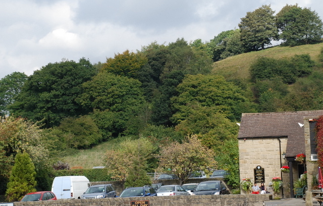
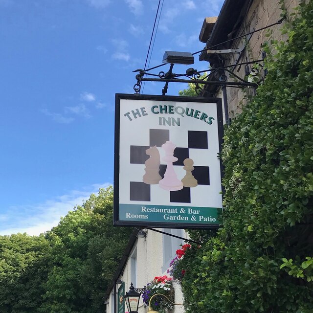
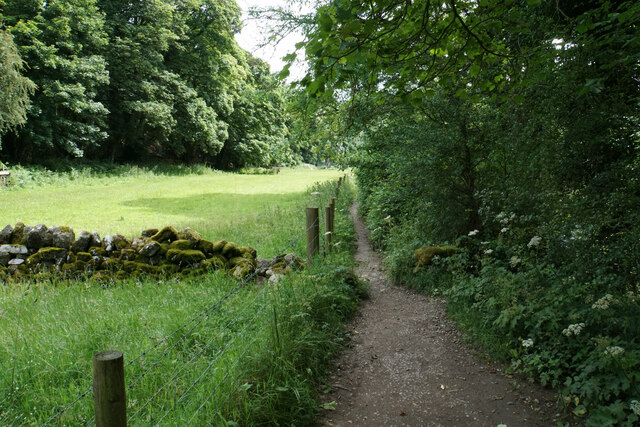
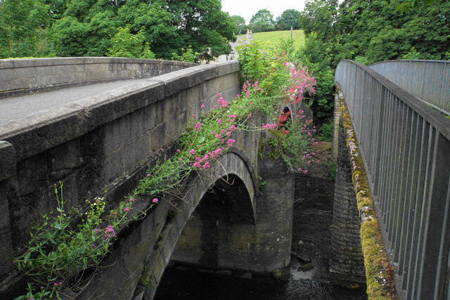
Curbar Gap Images

Images are sourced within 2km of 53.269/-1.613 or Grid Reference SK2574. Thanks to Geograph Open Source API. All images are credited.

Woodland behind the Eyre Arms This woodland on this hill behind the Eyre Arms is just to the south-west of the centre of SK27.
Woodland behind the Eyre Arms
This woodland on this hill behind the Eyre Arms is just to the south-west of the centre of SK27.
The Chequers Inn Former Wards brewery pub beside the A625 in Froggatt
The Chequers Inn
Former Wards brewery pub beside the A625 in Froggatt
The sign of The Chequers Inn See <a href="https://www.geograph.org.uk/photo/6922975">SK2476 : The Chequers Inn</a>.
The sign of The Chequers Inn
Chequers Inn wall plaque Dating back to the halcyon days of the Wards brewery in Sheffield.  Oh to be able to drink a pint of that excellent brew again!
Chequers Inn wall plaque
Dating back to the halcyon days of the Wards brewery in Sheffield. Oh to be able to drink a pint of that excellent brew again!
Companion stone at Deadshaw Sick Part of a series of 12 artistic stones placed in 2010, as companions to nearby guide stoops. Bar Brook passes below this site.
Companion stone at Deadshaw Sick
Part of a series of 12 artistic stones placed in 2010, as companions to nearby guide stoops. Bar Brook passes below this site.
Fields by Knouchley Farm Looking down the Derwent Valley, with Curbar and Baslow Edges up on the left.
Fields by Knouchley Farm
Looking down the Derwent Valley, with Curbar and Baslow Edges up on the left.
Path down to the Derwent Froggatt Edge is at the top of the other side.
Path down to the Derwent
Froggatt Edge is at the top of the other side.
River Derwent Very smooth flowing above Calver Weir.
River Derwent
Very smooth flowing above Calver Weir.
River Derwent by New Bridge On the opposite side is the Shuttle House, for which the local authority conservation records are here: <span class="nowrap"><a title="https://her.derbyshire.gov.uk/Monument/MDR3974" rel="nofollow ugc noopener" href="https://her.derbyshire.gov.uk/Monument/MDR3974">Link</a><img style="margin-left:2px;" alt="External link" title="External link - shift click to open in new window" src="https://s1.geograph.org.uk/img/external.png" width="10" height="10"/></span>.
River Derwent by New Bridge
On the opposite side is the Shuttle House, for which the local authority conservation records are here: LinkExternal link.
Path by the River Derwent You can't see a great deal of the river through the foliage on the right.
Path by the River Derwent
You can't see a great deal of the river through the foliage on the right.
River Derwent near Calver Both sides of this stretch of the river are lined by trees. There is quite a lot of white water below Calver Weir.
River Derwent near Calver
Both sides of this stretch of the river are lined by trees. There is quite a lot of white water below Calver Weir.
Bridges over the River Derwent The bridge on the left carried the old main road from Baslow before it was replaced by a new Calver Bridge. The bridge on the right is a footbridge.
Bridges over the River Derwent
The bridge on the left carried the old main road from Baslow before it was replaced by a new Calver Bridge. The bridge on the right is a footbridge.
Calver Methodist Church The inscription states that this was Jubilee Primitive Methodist Chapel dating from 1860.
Calver Methodist Church
The inscription states that this was Jubilee Primitive Methodist Chapel dating from 1860.
Lamp standard and mounting block in Calver The lamp and its base are Grade II listed, with its listing details here: <span class="nowrap"><a title="https://historicengland.org.uk/listing/the-list/list-entry/1088211" rel="nofollow ugc noopener" href="https://historicengland.org.uk/listing/the-list/list-entry/1088211">Link</a><img style="margin-left:2px;" alt="External link" title="External link - shift click to open in new window" src="https://s1.geograph.org.uk/img/external.png" width="10" height="10"/></span>.
The cottage behind the hair salon is also Grade II listed.
Lamp standard and mounting block in Calver
The lamp and its base are Grade II listed, with its listing details here: LinkExternal link. The cottage behind the hair salon is also Grade II listed.
Clodhall Lane A long straight moorland road, here descending to the valley of Bar Brook and a junction with the A621.
Clodhall Lane
A long straight moorland road, here descending to the valley of Bar Brook and a junction with the A621.
Long wall above Blackstone Edge The wall lines a long distance of the track. On the other side, there are fields maintained by Gorse Bank Farm as a conservation area.
Long wall above Blackstone Edge
The wall lines a long distance of the track. On the other side, there are fields maintained by Gorse Bank Farm as a conservation area.
Cattle above Blackstone Edge The dip just beyond the cattle is the valley of Bar Brook. Birchen Edge is in the background.
Cattle above Blackstone Edge
The dip just beyond the cattle is the valley of Bar Brook. Birchen Edge is in the background.
Barley field on Eaglestone Flat Part of an area of farmland above Baslow Edge.
Barley field on Eaglestone Flat
Part of an area of farmland above Baslow Edge.
Show me another place!

Curbar Gap is located at Grid Ref: SK2574 (Lat: 53.269, Lng: -1.613)

Administrative County: Derbyshire

District: Derbyshire Dales

Police Authority: Derbyshire

What 3 Words

///puncture.buckling.lessening. Near Baslow, Derbyshire

Nearby Locations

Curbar Gap Curbar Curbar

Related Wikis

Curbar Edge

Curbar Edge is a gritstone moorland escarpment above the village of Curbar, in Derbyshire, England and close to the villages of Baslow, Calver, and Froggatt...
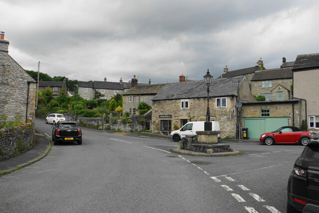
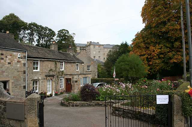
Curbar

Curbar is a village and civil parish in the Derbyshire Dales district of Derbyshire, England. The population based on the 2011 Census was 417. Curbar is...

Cliff College

Cliff College is a Christian theological college in Calver, Derbyshire, that teaches Biblical Theology at the undergraduate level and a number of mission...

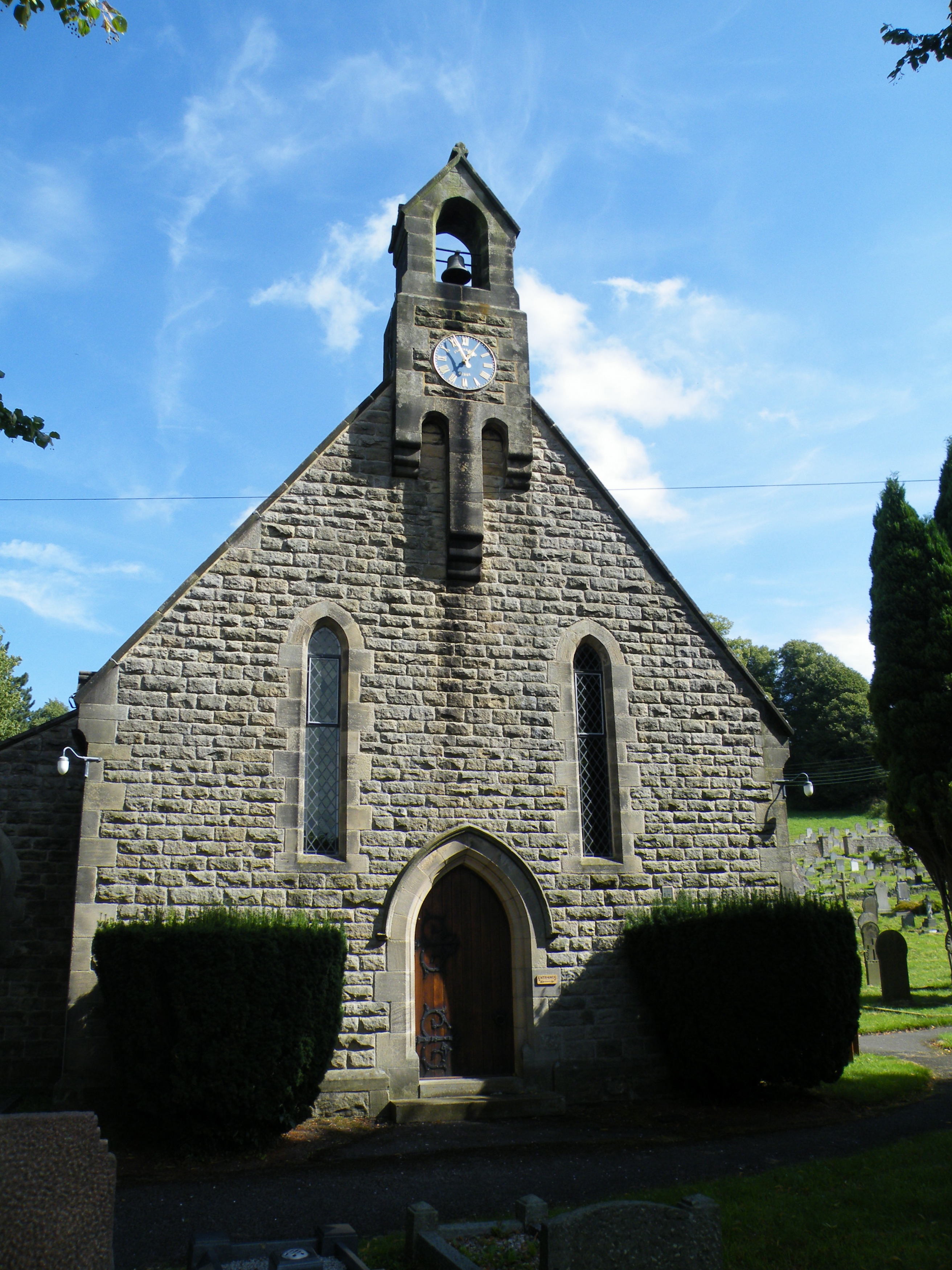
All Saints' Church, Curbar

All Saints’ Church, Curbar is a Church of England parish church in Curbar, Derbyshire. == History == Until the church was built, the nearest parish church...

Upper Derwent Valley

The Upper Derwent Valley is an area of the Peak District National Park in England. It largely lies in Derbyshire, but its north eastern area lies in Sheffield...
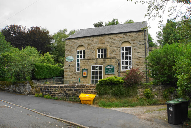
Calver

Calver (Old English Calf Slope) is a village and civil parish in Derbyshire, England. The population of the civil parish at the 2011 census was 710....

Gardom's Edge

Gardom's Edge is a rocky outcrop near Baslow in Derbyshire, England. The shelf between Gardom's Edge and Birchen Edge is now moorland used for grazing...

Baslow Hall

Baslow Hall is a Grade II listed building in Baslow, Derbyshire. == History == Baslow Hall, just off Calver Road, was built in 1907 to the designs of the...

Nearby Amenities

Located within 500m of 53.269,-1.613
Barrier: kissing_gate
Lat/Long: 53.269214/-1.6097361
Barrier: stile
Material: stone
Stile: squeezer
Lat/Long: 53.268057/-1.6141847
Barrier: stile
Material: stone
Stile: squeezer
Lat/Long: 53.268346/-1.612698
Ele: 303
Lat/Long: 53.2687804/-1.6079137
Barrier: stile
Material: stone
Source: survey;gps
Stile: squeezer
Lat/Long: 53.2680158/-1.6166735
Barrier: stile
Lat/Long: 53.2675903/-1.6176386
Bench
Lat/Long: 53.2686475/-1.6097349
Bench
Backrest: no
Lat/Long: 53.2687756/-1.6121221
Bench
Lat/Long: 53.268319/-1.6101644
Barrier: stile
Material: stone
Source: survey;gps
Stile: squeezer
Lat/Long: 53.2681335/-1.6146546
Barrier: stile
Material: stone
Source: survey;gps
Stile: squeezer
Lat/Long: 53.2694692/-1.6165209
Barrier: stile
Material: stone
Stile: stepover
Lat/Long: 53.2679287/-1.6177485
Baslow Edge
Tourism: viewpoint
Lat/Long: 53.2674731/-1.6116857
Bench
Lat/Long: 53.2702454/-1.6192837
Source: survey
Tourism: picnic_site
Lat/Long: 53.2687426/-1.6095234
Bench
Source: survey;gps
Lat/Long: 53.2679794/-1.6203251
Bench
Source: survey;gps
Lat/Long: 53.2680379/-1.6166827
Companion Stone 7
Artist Name: Val Carman and C J Allen
Artwork Type: sculpture
Material: stone
Tourism: artwork
Lat/Long: 53.2687245/-1.6076504
Curbar Edge
Name Zh: 科巴边缘
Tourism: attraction
Wheelchair: no
Lat/Long: 53.2712683/-1.6126773
The Loafstone
Climbing: boulder
Climbing Bouldering: yes
Climbing Rock: gritstone
Natural: stone
Sport: climbing
Lat/Long: 53.2705908/-1.6181713
Shy Wall
Climbing: boulder
Climbing Bouldering: yes
Climbing Rock: gritstone
Natural: stone
Sport: climbing
Lat/Long: 53.2723305/-1.616536
Gorilla Warfare
Climbing: boulder
Climbing Bouldering: yes
Climbing Rock: gritstone
Natural: stone
Sport: climbing
Lat/Long: 53.2715/-1.6152083
Bens Wall
Climbing: boulder
Climbing Bouldering: yes
Climbing Rock: gritstone
Natural: stone
Sport: climbing
Lat/Long: 53.2725509/-1.6166527
Mini Prow Boulder
Climbing: boulder
Climbing Bouldering: yes
Climbing Rock: gritstone
Natural: stone
Sport: climbing
Lat/Long: 53.2717613/-1.6157722
Trackside Boulder
Climbing: boulder
Climbing Bouldering: yes
Climbing Rock: gritstone
Natural: stone
Sport: climbing
Lat/Long: 53.2710405/-1.6161765
Not A Jerry Traverse
Climbing: boulder
Climbing Bouldering: yes
Climbing Rock: gritstone
Natural: stone
Sport: climbing
Lat/Long: 53.2708663/-1.6179225
Bad Landing Boulder
Climbing: boulder
Climbing Bouldering: yes
Climbing Rock: gritstone
Natural: stone
Sport: climbing
Lat/Long: 53.2719349/-1.6157951
Crescent Slab
Climbing: boulder
Climbing Bouldering: yes
Climbing Rock: gritstone
Natural: stone
Sport: climbing
Lat/Long: 53.2713944/-1.6153686
Bench
Lat/Long: 53.2696046/-1.6135709
Baslow Edge
Information: map
Tourism: information
Lat/Long: 53.2674825/-1.6116858
Vending: parking_tickets
Lat/Long: 53.268771/-1.6079444
Covered: no
Leisure: picnic_table
Lat/Long: 53.2689146/-1.6080554
Covered: no
Leisure: picnic_table
Lat/Long: 53.268828/-1.6079709
Format: squared_stone
Historic: milestone
Source: GPS
Lat/Long: 53.2685867/-1.6076272
Parking
Access: yes
Fee: yes
Operator: National Trust/RSPB
Parking: surface
Lat/Long: 53.2689799/-1.6080762
Bench
Backrest: yes
Lat/Long: 53.2694832/-1.6131876
The data included in this document is from www.openstreetmap.org. The data is made available under ODbL.

Have you been to Curbar Gap?

Leave your review of Curbar Gap below (or comments, questions and feedback).