Coombe End Farm
Heritage Site in Oxfordshire South Oxfordshire
England
Coombe End Farm

Coombe End Farm is a historic heritage site located in Oxfordshire, England. It is an exemplary representation of a traditional English farmstead, showcasing the agricultural practices and rural lifestyle of the region. The farm is nestled in the idyllic Cotswold countryside, surrounded by rolling hills and picturesque landscapes.
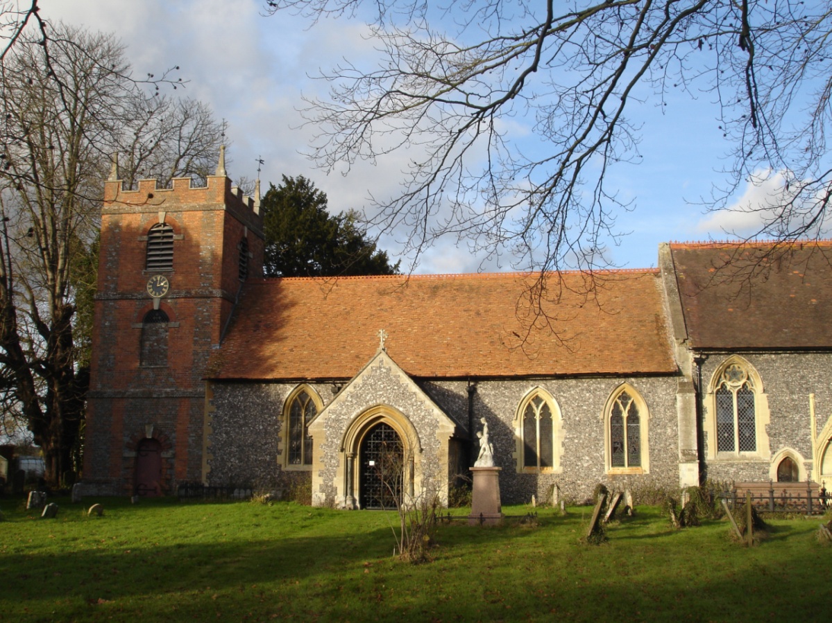
The site consists of several well-preserved buildings, including a farmhouse, barns, stables, and outbuildings. These structures date back to the 17th and 18th centuries, reflecting the architectural style and construction techniques of the time. The farmstead is constructed using locally sourced limestone, which adds to its charm and authenticity.
Visitors to Coombe End Farm can explore the various buildings and gain insights into the daily life of a working farm throughout history. The farmhouse has been restored to its original condition, showcasing period furnishings, decor, and household items. The barns and stables display traditional farming equipment, tools, and machinery, allowing visitors to understand the evolution of farming practices over time.
The farm also offers guided tours, where knowledgeable guides provide detailed explanations of the farm's history, its role in the local community, and the importance of preserving rural heritage. Additionally, various events and activities are organized throughout the year, such as agricultural demonstrations, craft workshops, and seasonal festivities, offering visitors a unique and immersive experience.
Coombe End Farm is not only a significant historical site but also a valuable educational resource, providing visitors with a glimpse into the past and fostering appreciation for the rural traditions and cultural heritage of Oxfordshire.
If you have any feedback on the listing, please let us know in the comments section below.
Coombe End Farm Images
Images are sourced within 2km of 51.512/-1.098 or Grid Reference SU6279. Thanks to Geograph Open Source API. All images are credited.


Coombe End Farm is located at Grid Ref: SU6279 (Lat: 51.512, Lng: -1.098)
Administrative County: Oxfordshire
District: South Oxfordshire
Police Authority: Thames Valley
What 3 Words
///imperious.pull.backhand. Near Goring, Oxfordshire
Nearby Locations
Related Wikis

Goring Rural District
Goring was a rural district in Oxfordshire, England from 1894 to 1932. It was formed from that part of the Bradfield rural sanitary district which was...

Goring Heath
Goring Heath is a hamlet and civil parish in the Chiltern Hills in South Oxfordshire. The civil parish includes the villages of Whitchurch Hill and Crays...

Hartslock
Hartslock, also known as Hartslock Woods, is a 41.8-hectare (103-acre) biological Site of Special Scientific Interest (SSSI) in a wooded area on the north...
The Oratory Preparatory School
The Oratory Prep School is a Roman Catholic day and boarding school for some 330 boys and girls aged from two to thirteen, founded in 1925. The school...
Crays Pond
Crays Pond is a hamlet situated in the parish of Goring Heath in South Oxfordshire. Crays Pond is about 2.4 miles (3.9 km) northeast of Goring-on-Thames...
St Bartholomew's Church, Lower Basildon
St Bartholomew's Church is the redundant Church of England parish church of Basildon in the English county of Berkshire. It lies in the hamlet of Lower...

Beale Wildlife Park
Beale Wildlife Park is situated by the River Thames, between the villages of Pangbourne and Lower Basildon in Berkshire, England. It has three main areas...

Whitchurch Hill
Whitchurch Hill is a village in the Chiltern Hills in Oxfordshire, about 5.5 miles (9 km) northwest of Reading, Berkshire, near Whitchurch-on-Thames. The...
Nearby Amenities
Located within 500m of 51.512,-1.098Have you been to Coombe End Farm?
Leave your review of Coombe End Farm below (or comments, questions and feedback).