Cill Naoimh

Heritage Site in Argyllshire

Scotland

Cill Naoimh

End of the public road at Cnuic na Croise Glad the dogs are left at home
End of the public road at Cnuic na Croise Credit: thejackrustles

Cill Naoimh, located in Argyllshire, Scotland, is a renowned heritage site that holds significant historical and cultural importance. Also known as the Kilnave Chapel, this site is situated on the Isle of Islay, within the Inner Hebrides archipelago.

The main attraction of Cill Naoimh is the remains of an ancient chapel that dates back to the medieval period. Believed to have been constructed in the 14th century, the chapel served as a place of worship for the local community. The architecture of the chapel showcases a mix of Romanesque and Gothic styles, with its stone walls and arched windows being the prominent features.

The chapel is surrounded by a tranquil graveyard, where many notable figures from the past have been laid to rest. Visitors can explore the tombstones and monuments, some of which bear intricate carvings and inscriptions that provide insights into the lives of the deceased.

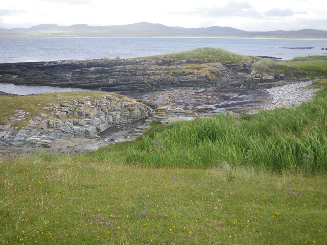
Cill Naoimh also offers breathtaking views of the surrounding landscape, with its location on a hill overlooking Loch Gruinart. The peaceful atmosphere and picturesque surroundings make it a popular spot for reflection and contemplation.

Due to its historical significance and architectural beauty, Cill Naoimh has been recognized as a protected heritage site. It attracts visitors from all over the world who are interested in exploring Scotland's rich cultural heritage and delving into its medieval past.

If you have any feedback on the listing, please let us know in the comments section below.
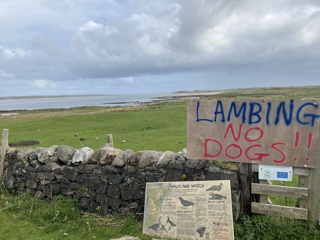
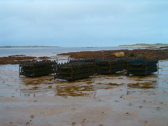
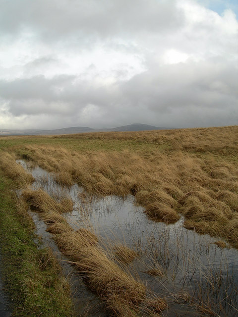
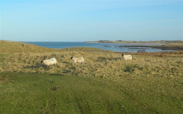
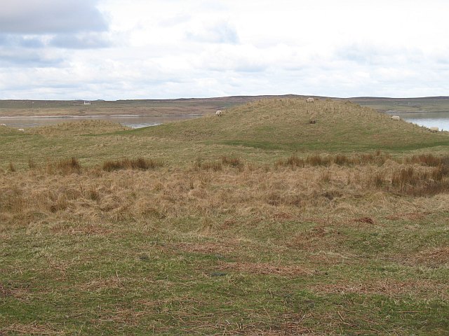
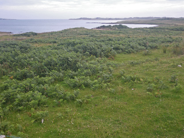
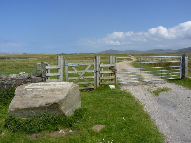
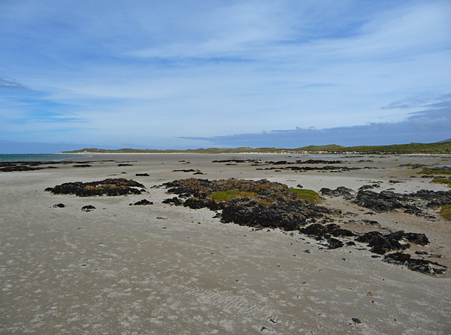
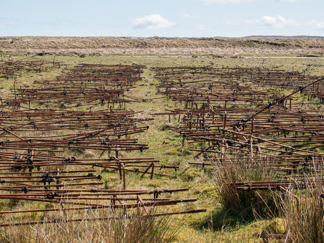
Cill Naoimh Images

Images are sourced within 2km of 55.86/-6.34 or Grid Reference NR2871. Thanks to Geograph Open Source API. All images are credited.

End of the public road at Cnuic na Croise Glad the dogs are left at home
End of the public road at Cnuic na Croise
Glad the dogs are left at home
Oyster farming on Loch Gruinart Pacific oysters growing in baskets on a remote Islay beach.
Oyster farming on Loch Gruinart
Pacific oysters growing in baskets on a remote Islay beach.
Wet Walking Conditions The side of the track to Killinallan after much wet weather.
Wet Walking Conditions
The side of the track to Killinallan after much wet weather.
Grazing Land Sheep on coastal grazing land by Loch Gruinart.  Killinallan Point is visible in the far distance.
Grazing Land
Sheep on coastal grazing land by Loch Gruinart. Killinallan Point is visible in the far distance.
Cnuic na Croise Sand dunes beside Loch Gruinart
Cnuic na Croise
Sand dunes beside Loch Gruinart
Bracken covered shoreline on the east of Loch Gruinart
End of the Killinallan Road, Islay The gate is padlocked, but there is pedestrian access to Gortantoid about two miles further north-east. There used to be an information board on the big boulder, but it was removed when I arrived to take the photo.
End of the Killinallan Road, Islay
The gate is padlocked, but there is pedestrian access to Gortantoid about two miles further north-east. There used to be an information board on the big boulder, but it was removed when I arrived to take the photo.
The beach at Killinallan Seemingly endless reaches of sand on the east of Loch Gruinart.
The beach at Killinallan
Seemingly endless reaches of sand on the east of Loch Gruinart.
Rusting frames This is just part of a large collection of metal frames on the shore. They hold large hooks and show signs of standing in the sea. Presumably they were once used for <a href="https://www.geograph.org.uk/photo/254647">NR3071 : Oyster farming on Loch Gruinart</a>.
Rusting frames
This is just part of a large collection of metal frames on the shore. They hold large hooks and show signs of standing in the sea. Presumably they were once used for NR3071 : Oyster farming on Loch Gruinart.
The end of the road at Cnuic na Croise At least, the public road - the track goes on to Killinallan and the sand dunes and beach at Tràigh Baile Aonghais, 3 km further on.
The end of the road at Cnuic na Croise
At least, the public road - the track goes on to Killinallan and the sand dunes and beach at Tràigh Baile Aonghais, 3 km further on.
Sheep at Cnuic na Croise Looking north to the dunes at Kinellan Point.
Sheep at Cnuic na Croise
Looking north to the dunes at Kinellan Point.
Dry stone wall at Cnuic na Croise Looking down to the shore and across Loch Gruinart.
Dry stone wall at Cnuic na Croise
Looking down to the shore and across Loch Gruinart.
End of the public road at Cnuic na Croise The public road along the east side of Loch Gruinart is in a dreadful state. Beyond the gate, the private road is even worse.
End of the public road at Cnuic na Croise
The public road along the east side of Loch Gruinart is in a dreadful state. Beyond the gate, the private road is even worse.
Lower end of Loch Gruinart
Track to the shore, Loch Gruinart A very rough track leads down to the shore at the mouth of Loch Gruinart.
Track to the shore, Loch Gruinart
A very rough track leads down to the shore at the mouth of Loch Gruinart.
Loch Gruinart, low tide
Loch Gruinart
Loch Gruinart
Ruin, Crois Mhòr
Ruin, Crois Mhòr
Show me another place!

Cill Naoimh is located at Grid Ref: NR2871 (Lat: 55.86, Lng: -6.34)

Unitary Authority: Argyll and Bute

Police Authority: Argyll and West Dunbartonshire

What 3 Words

///dished.flotation.private. Near Bridgend, Argyll & Bute

Related Wikis

Loch Gruinart

Loch Gruinart (Scottish Gaelic: Loch Gruinneard from the Old Norse, meaning "shallow fjord") is a sea loch on the northern coast of isle of Islay in Scotland...

Ardnave Point

Ardnave Point (Scottish Gaelic, Àird an Naoimh) is a coastal promontory on the northwest of Islay, a Scottish island. This landform has a rocky northern...

Battle of Traigh Ghruinneart

The Battle of Traigh Ghruinneart or in Scottish Gaelic Blàr Tràigh Ghruineart or sometimes called the Battle of Gruinart Strand was a Scottish clan battle...

Nave Island

Nave Island lies to the north of Islay in the Inner Hebrides near the mouth of Loch Gruinart. It is uninhabited. == Geography == The island is all but...

Nearby Amenities

Located within 500m of 55.86,-6.34
Source: PGS
Lat/Long: 55.8560539/-6.337108
Source: PGS
Lat/Long: 55.8585313/-6.3376464
Source: PGS
Lat/Long: 55.8601646/-6.3379187
Source: PGS
Lat/Long: 55.8618282/-6.3374614
Kilnave
Name Gd: Cill Naiomh
Place: isolated_dwelling
Source: local_knowledge
Lat/Long: 55.8597074/-6.3416033
Place: farm
Lat/Long: 55.8586625/-6.3435078
Kilnave Cross
Historic: wayside_cross
Wikidata: Q1741411
Lat/Long: 55.8601517/-6.3402808
Àird Fhìnn
Description: Translates into English as "Fingal's head"
Name Gd: Àird Fhìnn
Natural: bare_rock
Lat/Long: 55.8624166/-6.3369181
Power: pole
Lat/Long: 55.85705/-6.344293
Power: pole
Lat/Long: 55.8586572/-6.3437753
Power: pole
Lat/Long: 55.8626991/-6.3424999
Power: pole
Lat/Long: 55.8563571/-6.3445142
Power: pole
Lat/Long: 55.857839/-6.3440389
Power: pole
Lat/Long: 55.8594903/-6.3435124
Power: pole
Lat/Long: 55.8603214/-6.3432502
Power: pole
Lat/Long: 55.8611599/-6.3429856
Power: pole
Lat/Long: 55.8619713/-6.3427296
Power: pole
Lat/Long: 55.8633702/-6.342288
Power: pole
Lat/Long: 55.8640009/-6.3420889
The data included in this document is from www.openstreetmap.org. The data is made available under ODbL.

Have you been to Cill Naoimh?

Leave your review of Cill Naoimh below (or comments, questions and feedback).