Kilnave

Settlement in Argyllshire

Scotland

Kilnave

Oyster farming on Loch Gruinart Pacific oysters growing in baskets on a remote Islay beach.
Oyster farming on Loch Gruinart Credit: Patrick Mackie

Kilnave is a small village located in Argyllshire, Scotland. Situated on the Isle of Islay, it is surrounded by picturesque landscapes and offers a tranquil and idyllic setting for residents and visitors alike.

The village is known for its rich history and heritage. One of its prominent features is the Kilnave Chapel, a medieval ruin that dates back to the 14th century. This historic site attracts many history enthusiasts and tourists who are interested in exploring the remnants of the past. The chapel is particularly famous for its magnificent carved stone cross, known as the Kilnave Cross, which is a fine example of Celtic art.

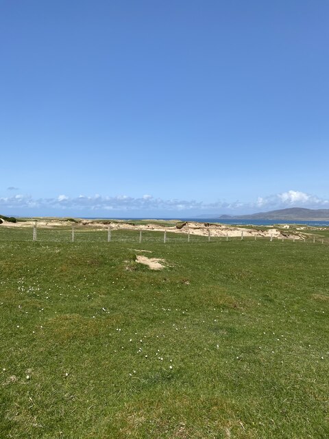
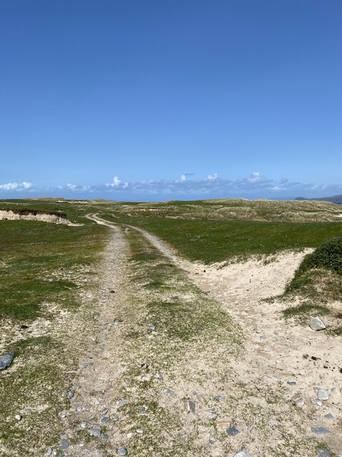
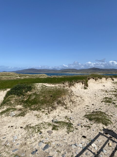
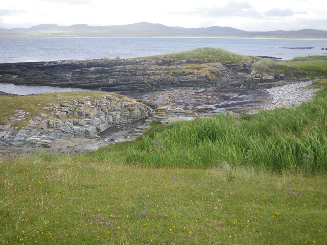
The natural beauty of Kilnave is also a major draw for visitors. The village offers breathtaking views of the surrounding countryside, with rolling hills, lush green fields, and sparkling lochs. The nearby Kilnave Loch is a popular spot for fishing and birdwatching, with a diverse range of wildlife to be spotted.

Despite its small size, Kilnave has a strong sense of community. The village is home to a close-knit population, and residents often gather for local events and festivals. The Kilnave Highland Games, held annually, are a highlight of the village's social calendar and attract visitors from near and far.

In conclusion, Kilnave is a charming village in Argyllshire, offering a perfect blend of history, natural beauty, and community spirit. Whether you are interested in exploring ancient ruins, immersing yourself in stunning landscapes, or experiencing traditional Scottish culture, Kilnave has something to offer everyone.

If you have any feedback on the listing, please let us know in the comments section below.
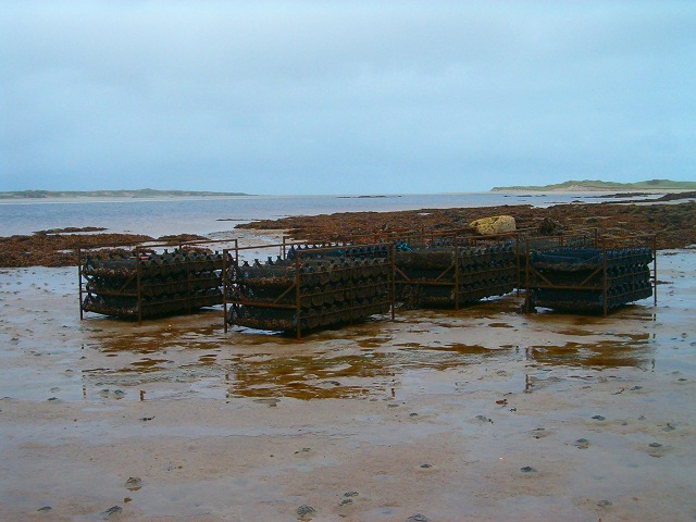
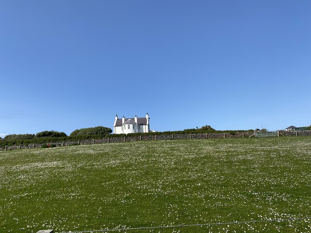
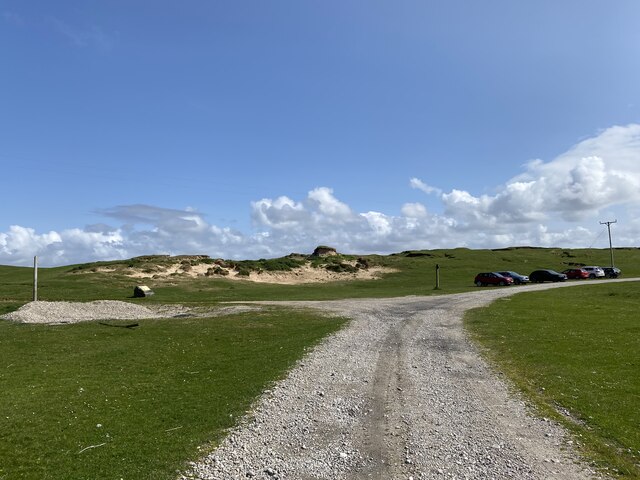
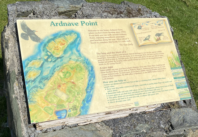
Kilnave Images

Images are sourced within 2km of 55.860556/-6.344421 or Grid Reference NR2871. Thanks to Geograph Open Source API. All images are credited.

Oyster farming on Loch Gruinart Pacific oysters growing in baskets on a remote Islay beach.
Oyster farming on Loch Gruinart
Pacific oysters growing in baskets on a remote Islay beach.
Loch Gruinart, low tide
Loch Gruinart
Loch Gruinart
Ruin, Crois Mhòr
Ruin, Crois Mhòr
OS Cut Mark - Islay, Crois Mhor <span class="nowrap"><a title="https://www.bench-marks.org.uk/bm64462" rel="nofollow ugc noopener" href="https://www.bench-marks.org.uk/bm64462">Link</a><img style="margin-left:2px;" alt="External link" title="External link - shift click to open in new window" src="https://s1.geograph.org.uk/img/external.png" width="10" height="10"/></span>
OS Cut Mark - Islay, Crois Mhor
Loch Gruinart
Loch Gruinart
Location of OS Cut Mark - Islay, Crois Mhor
Road near Craigmhor
Road near Craigmhor
Creag Mhor Trig Point Flush Bracket S9089
Views west from Creag Mhor
Road to Ardnave House
Ardnave House Shows as a blue triangulation pillar on OS Maps but is in fact an Intersected Station
<span class="nowrap"><a title="https://trigpointing.uk/trig/15715" rel="nofollow ugc noopener" href="https://trigpointing.uk/trig/15715">Link</a><img style="margin-left:2px;" alt="External link" title="External link - shift click to open in new window" src="https://s1.geograph.org.uk/img/external.png" width="10" height="10"/></span>
<span class="nowrap"><a title="https://trigpointing.uk/wiki/Intersected_Station" rel="nofollow ugc noopener" href="https://trigpointing.uk/wiki/Intersected_Station">Link</a><img style="margin-left:2px;" alt="External link" title="External link - shift click to open in new window" src="https://s1.geograph.org.uk/img/external.png" width="10" height="10"/></span>
Ardnave House
Shows as a blue triangulation pillar on OS Maps but is in fact an Intersected Station LinkExternal link LinkExternal link
Ardnave Car Park
Ardnave Car Park
Ardnave Point Sign
Ardnave Point Sign
Track, Ardnave
Track, Ardnave
Views from Ardnave
Views from Ardnave
View across Loch Gruinart
Show me another place!

Kilnave is located at Grid Ref: NR2871 (Lat: 55.860556, Lng: -6.344421)

Unitary Authority: Argyll and Bute

Police Authority: Argyll and West Dunbartonshire

What 3 Words

///officers.clings.ironic. Near Bridgend, Argyll & Bute

Related Wikis

Loch Gruinart

Loch Gruinart (Scottish Gaelic: Loch Gruinneard from the Old Norse, meaning "shallow fjord") is a sea loch on the northern coast of isle of Islay in Scotland...

Ardnave Point

Ardnave Point (Scottish Gaelic, Àird an Naoimh) is a coastal promontory on the northwest of Islay, a Scottish island. This landform has a rocky northern...

Battle of Traigh Ghruinneart

The Battle of Traigh Ghruinneart or in Scottish Gaelic Blàr Tràigh Ghruineart or sometimes called the Battle of Gruinart Strand was a Scottish clan battle...

Nave Island

Nave Island lies to the north of Islay in the Inner Hebrides near the mouth of Loch Gruinart. It is uninhabited. == Geography == The island is all but...

Nearby Amenities

Located within 500m of 55.860556,-6.344421
Source: PGS
Lat/Long: 55.8585313/-6.3376464
Source: PGS
Lat/Long: 55.8601646/-6.3379187
Source: PGS
Lat/Long: 55.8618282/-6.3374614
Kilnave
Name Gd: Cill Naiomh
Place: isolated_dwelling
Source: local_knowledge
Lat/Long: 55.8597074/-6.3416033
Place: farm
Lat/Long: 55.8586625/-6.3435078
Kilnave Cross
Historic: wayside_cross
Wikidata: Q1741411
Lat/Long: 55.8601517/-6.3402808
Càrn Mòr
Description: Translates into English as "Great Cairn"
Ele: 51
Name Gd: Càrn Mòr
Natural: hill
Lat/Long: 55.8592561/-6.3512396
Ceann an Àrd
Description: Translates into English as "Head of the height"
Ele: 30
Name Gd: Ceann an Àrd
Natural: hill
Lat/Long: 55.8641448/-6.3434665
Power: pole
Lat/Long: 55.85705/-6.344293
Power: pole
Lat/Long: 55.8586572/-6.3437753
Power: pole
Lat/Long: 55.8626991/-6.3424999
Power: pole
Lat/Long: 55.8563571/-6.3445142
Power: pole
Lat/Long: 55.857839/-6.3440389
Power: pole
Lat/Long: 55.8594903/-6.3435124
Power: pole
Lat/Long: 55.8603214/-6.3432502
Power: pole
Lat/Long: 55.8611599/-6.3429856
Power: pole
Lat/Long: 55.8619713/-6.3427296
Power: pole
Lat/Long: 55.8633702/-6.342288
Power: pole
Lat/Long: 55.8640009/-6.3420889
The data included in this document is from www.openstreetmap.org. The data is made available under ODbL.

Have you been to Kilnave?

Leave your review of Kilnave below (or comments, questions and feedback).