Cerrig Arthur

Heritage Site in Merionethshire

Wales

Cerrig Arthur

Approaching Bwlch y Rhiwgyr The ridge path drops to cross Bwlch y Rhiwgyr, an old drovers road, and ascends to the next top seen here in the background - Mynydd Egryn.

Walking north to south, the ridge path has been on the western seaward side of the ridge wall for miles but, if continuing on to Mynydd Egryn, at Bwlch y Rhiwgyr you should switch to the eastern side: there are no stiles or gaps in the cross walls on the western side.
Approaching Bwlch y Rhiwgyr Credit: Vivien and Geoff Crowder

The requested URL returned error: 429 Too Many Requests

If you have any feedback on the listing, please let us know in the comments section below.

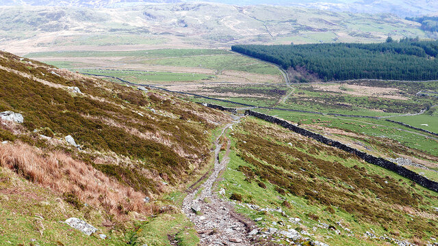
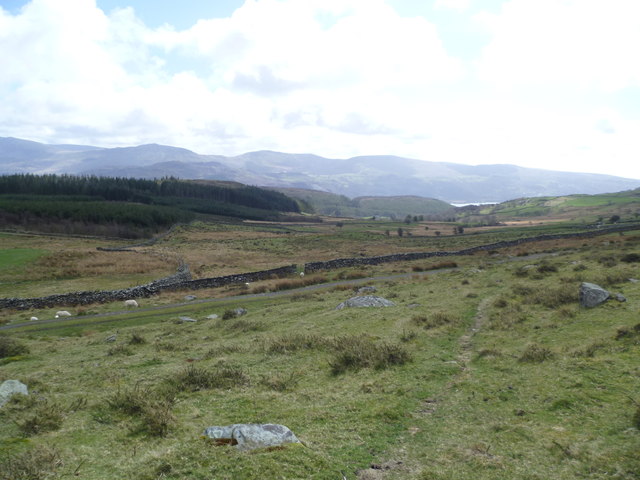
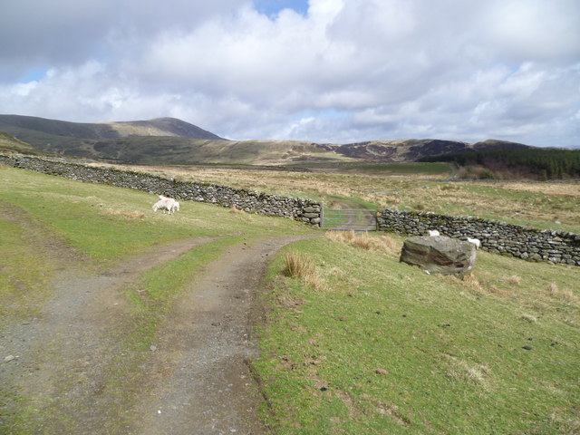
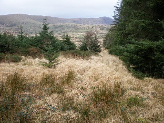
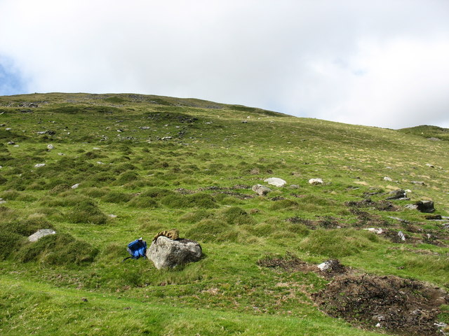
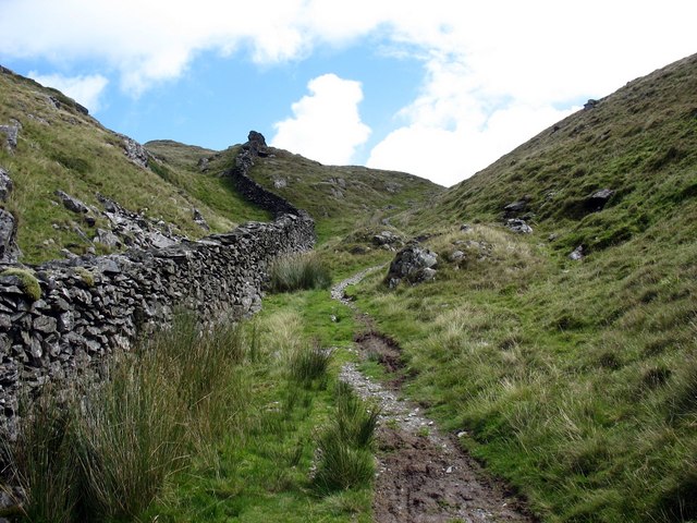
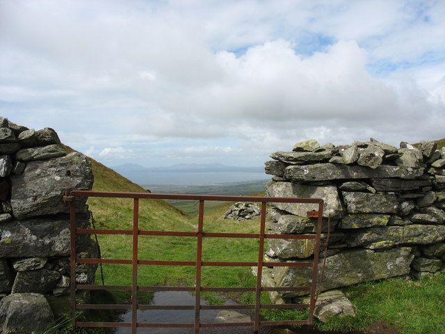
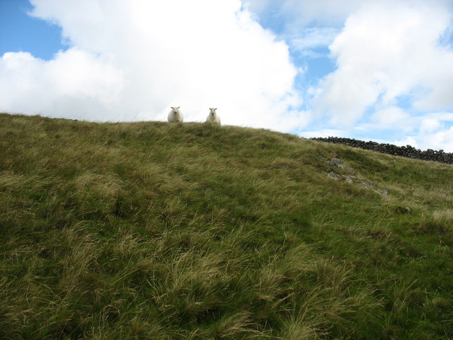
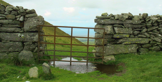
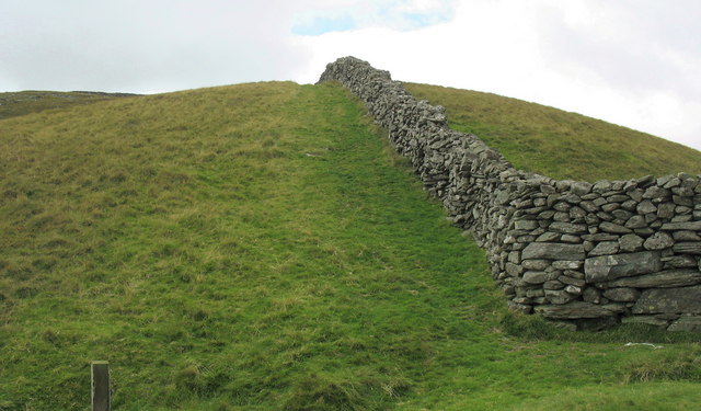
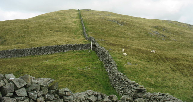
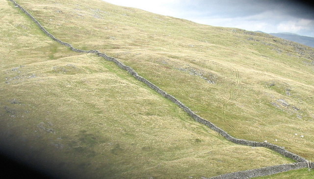
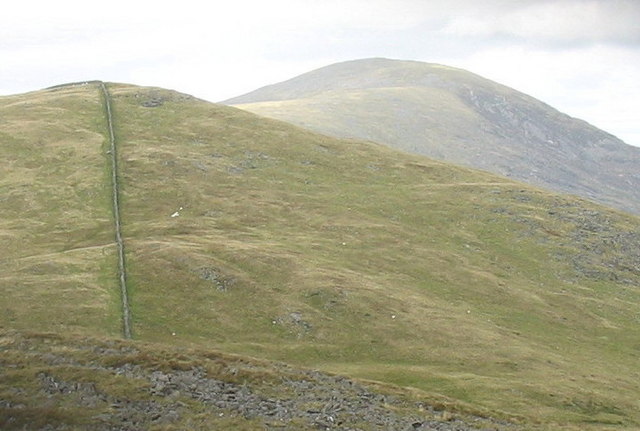
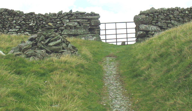
Cerrig Arthur Images

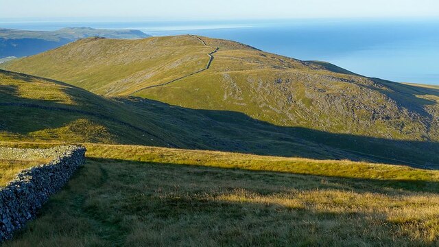
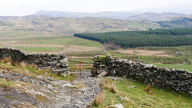
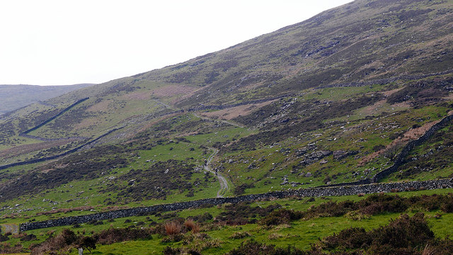
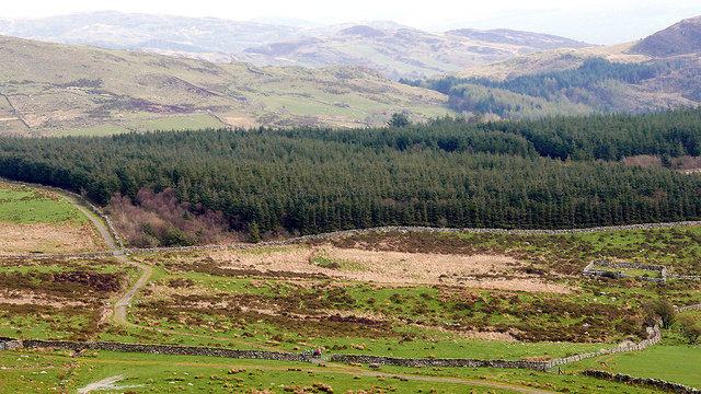
Images are sourced within 2km of 52.747/-4.022 or Grid Reference SH6318. Thanks to Geograph Open Source API. All images are credited.

Approaching Bwlch y Rhiwgyr The ridge path drops to cross Bwlch y Rhiwgyr, an old drovers road, and ascends to the next top seen here in the background - Mynydd Egryn.

Walking north to south, the ridge path has been on the western seaward side of the ridge wall for miles but, if continuing on to Mynydd Egryn, at Bwlch y Rhiwgyr you should switch to the eastern side: there are no stiles or gaps in the cross walls on the western side.
Approaching Bwlch y Rhiwgyr
The ridge path drops to cross Bwlch y Rhiwgyr, an old drovers road, and ascends to the next top seen here in the background - Mynydd Egryn. Walking north to south, the ridge path has been on the western seaward side of the ridge wall for miles but, if continuing on to Mynydd Egryn, at Bwlch y Rhiwgyr you should switch to the eastern side: there are no stiles or gaps in the cross walls on the western side.
Gate on the path descending from Bwlch y Rhiwgyr Forestry on Cerrig y Cledd is seen ahead.
Gate on the path descending from Bwlch y Rhiwgyr
Forestry on Cerrig y Cledd is seen ahead.
The path ascending towards Bwlch y Rhiwgyr A couple of motorcyclists can just be seen climbing the path. It's rough in places - I wonder if they got to the top?
The path ascending towards Bwlch y Rhiwgyr
A couple of motorcyclists can just be seen climbing the path. It's rough in places - I wonder if they got to the top?
Cerrig y Cledd From the path above Golodd.
Cerrig y Cledd
From the path above Golodd.
Descending from Bwlch y Rhiwgyr On the slopes of Craig y Grut.
Descending from Bwlch y Rhiwgyr
On the slopes of Craig y Grut.
Upland scene You have to love country like this.
Upland scene
You have to love country like this.
Upland scene Sheep pasture.
Upland scene
Sheep pasture.
Grassy area near Cerrig y Cledd. The ridge of Braich can be seen climbing right to left with Craig Aderyn at the top right.
The very faint (near horizontal) line across Braich at the top left is the old London - Harlech coach track.
Grassy area near Cerrig y Cledd.
The ridge of Braich can be seen climbing right to left with Craig Aderyn at the top right. The very faint (near horizontal) line across Braich at the top left is the old London - Harlech coach track.
Hillside above Rhos-caerau
The old drover's road over Bwlch y Rhiwgyr
The gate at the summit of Bwlch y Rhiwgyr The name Bwlch y Rhiwgyr simply means "the steep pass of the (sheep) flock". The view north-west from here encompasses the Meirionnydd coast and the hills of Penrhyn Llyn.
The gate at the summit of Bwlch y Rhiwgyr
The name Bwlch y Rhiwgyr simply means "the steep pass of the (sheep) flock". The view north-west from here encompasses the Meirionnydd coast and the hills of Penrhyn Llyn.
The Bwlch y Rhiwgyr watch Sheep in this mountainous area are very wary of humans, a good indication of the dying art of walking. Here are some of the best walks in these islands and yet you can walk all day without seeing anyone on foot. Even the farmers nowadays feel the need to use a quadbike for the shortest of journeys.
The Bwlch y Rhiwgyr watch
Sheep in this mountainous area are very wary of humans, a good indication of the dying art of walking. Here are some of the best walks in these islands and yet you can walk all day without seeing anyone on foot. Even the farmers nowadays feel the need to use a quadbike for the shortest of journeys.
Flooded gate at the top of Bwlch y Rhiwgyr
Ridge wall above Bwlch y Rhiwgyr
Ridge wall running North-East from Bwlch y Rhiwgyr
Ridge wall NE of Bwlch y Rhiwgyr
View NE across Bwlch y Rhiwgyr with Diffwys in the background
A much denuded pre-historic cairn on Bwlch Rhiwgyr This cairn stands at 1,500 ft asl.
A much denuded pre-historic cairn on Bwlch Rhiwgyr
This cairn stands at 1,500 ft asl.
Show me another place!

Cerrig Arthur is located at Grid Ref: SH6318 (Lat: 52.747, Lng: -4.022)

Unitary Authority: Gwynedd

Police Authority: North Wales

What 3 Words

///chambers.immediate.lamppost. Near Barmouth, Gwynedd

Related Wikis

Tyn-y-Coed Farmhouse

Tyn-y-Coed Farmhouse is a grade II Listed Building in Caerdeon, Barmouth, Gwynedd. This Georgian farm house was built in 1756 and later extended and altered...

St Philip's Church, Caerdeon

St Philip's Church, Caerdeon, near Barmouth, in Gwynedd, North Wales, is a redundant church and a Grade I listed building. The church was built in 1862...

St Tudwal's Church, Barmouth

St Tudwal's Church is a Roman Catholic parish church in Barmouth, Gwynedd. It is situated on the King Edward Road leading from Barmouth to Llanaber. It...

Plas Mynach

Plas Mynach is a large country house in Barmouth, Gwynedd, Wales. It is designated by Cadw as a Grade II* listed building, and stands in a prominent position...

Nearby Amenities

Located within 500m of 52.747,-4.022
Telephone
Lat/Long: 52.7480421/-4.0154248
Sylfaen
Landuse: farm
Note Retag: CS #48756035
Lat/Long: 52.7465046/-4.0276358
Power: pole
Lat/Long: 52.7496675/-4.0170526
Power: pole
Lat/Long: 52.7495138/-4.0178558
Power: pole
Lat/Long: 52.7502794/-4.0182785
Power: pole
Lat/Long: 52.7506839/-4.0189158
Power: pole
Lat/Long: 52.7484169/-4.0168073
Power: pole
Lat/Long: 52.7476611/-4.0161029
Power: pole
Lat/Long: 52.746298/-4.0152083
Power: pole
Lat/Long: 52.745645/-4.0161427
Power: pole
Lat/Long: 52.7452212/-4.0167364
Power: pole
Lat/Long: 52.7474299/-4.0159093
Power: pole
Lat/Long: 52.7470897/-4.0156423
Power: pole
Lat/Long: 52.7468088/-4.0156527
Track
Designation: public_footpath
Foot: designated
Prow Ref: Barmouth No 39
Lat/Long: 52.7492925/-4.0217115
The data included in this document is from www.openstreetmap.org. The data is made available under ODbL.

Have you been to Cerrig Arthur?

Leave your review of Cerrig Arthur below (or comments, questions and feedback).