Castle Gogar
Heritage Site in Midlothian
Scotland
Castle Gogar

Castle Gogar is a historic castle located in Midlothian, Scotland. Situated just outside the capital city of Edinburgh, it holds significant historical and architectural importance. The castle, also known as Gogar House, is a Category A listed building, recognized for its exceptional preservation and cultural value.
Originally built in the 17th century, Castle Gogar was owned by the influential Murray family for several generations. The castle features a distinctive L-plan layout, typical of Scottish tower houses of that period. Its exterior exhibits a combination of Scottish baronial and Renaissance architectural styles, with crow-stepped gables and ornate stone carvings.
The interior of Castle Gogar boasts beautifully decorated rooms that showcase the castle's grandeur. Intricate plasterwork, ornate fireplaces, and elegant wood paneling are some of the notable features found within. The castle also houses a remarkable collection of antique furniture and artwork, providing visitors with a glimpse into the past.
Surrounded by well-manicured gardens and extensive grounds, Castle Gogar offers a picturesque setting. The estate includes a walled garden, a woodland area, and a charming courtyard. The castle is privately owned but occasionally opens to the public for guided tours, allowing visitors to explore its rich history and experience the enchanting ambiance firsthand.
Castle Gogar's location, just a short distance from Edinburgh Airport, makes it easily accessible for tourists and locals alike. Its historical and architectural significance, coupled with its beautiful surroundings, make Castle Gogar a must-visit heritage site for those interested in Scottish history and culture.
If you have any feedback on the listing, please let us know in the comments section below.
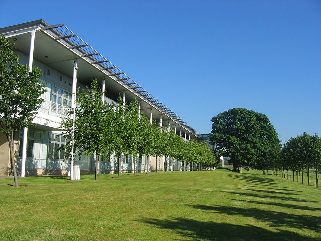
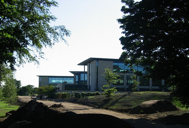
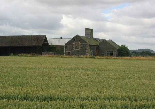
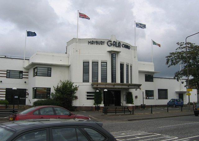
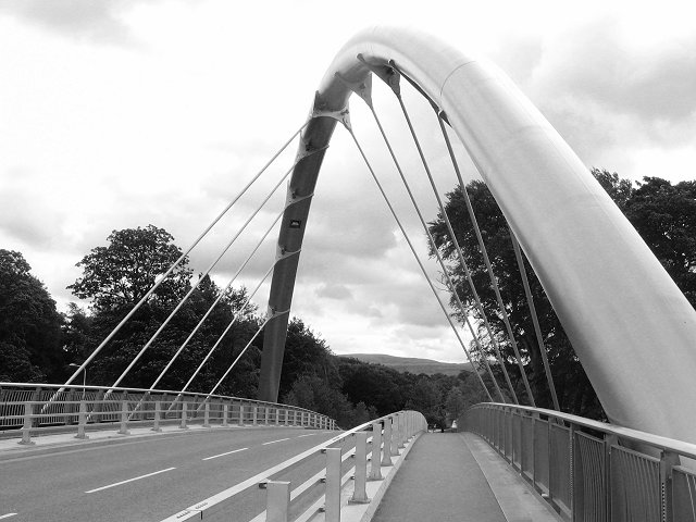
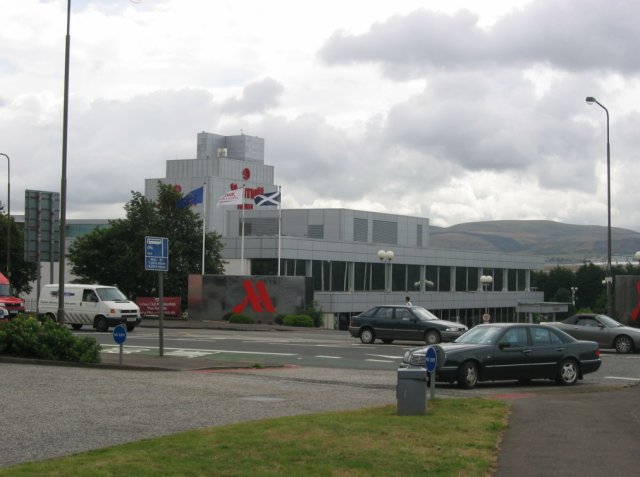
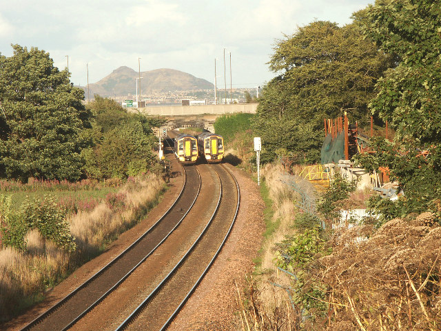
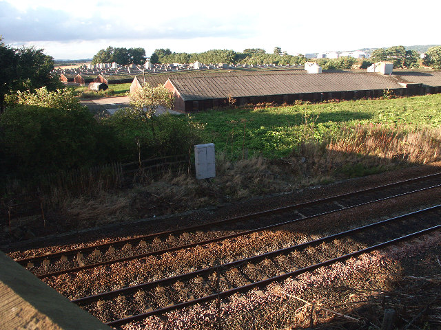
Castle Gogar Images
Images are sourced within 2km of 55.938/-3.337 or Grid Reference NT1672. Thanks to Geograph Open Source API. All images are credited.


Castle Gogar is located at Grid Ref: NT1672 (Lat: 55.938, Lng: -3.337)
Unitary Authority: City of Edinburgh
Police Authority: Edinburgh
What 3 Words
///fled.movies.much. Near Ratho Station, Edinburgh
Nearby Locations
Related Wikis

Gogar
Gogar is a predominantly rural area of Edinburgh, Scotland, located to the west of the city. It is not far from Gogarloch, Edinburgh Park and Maybury....
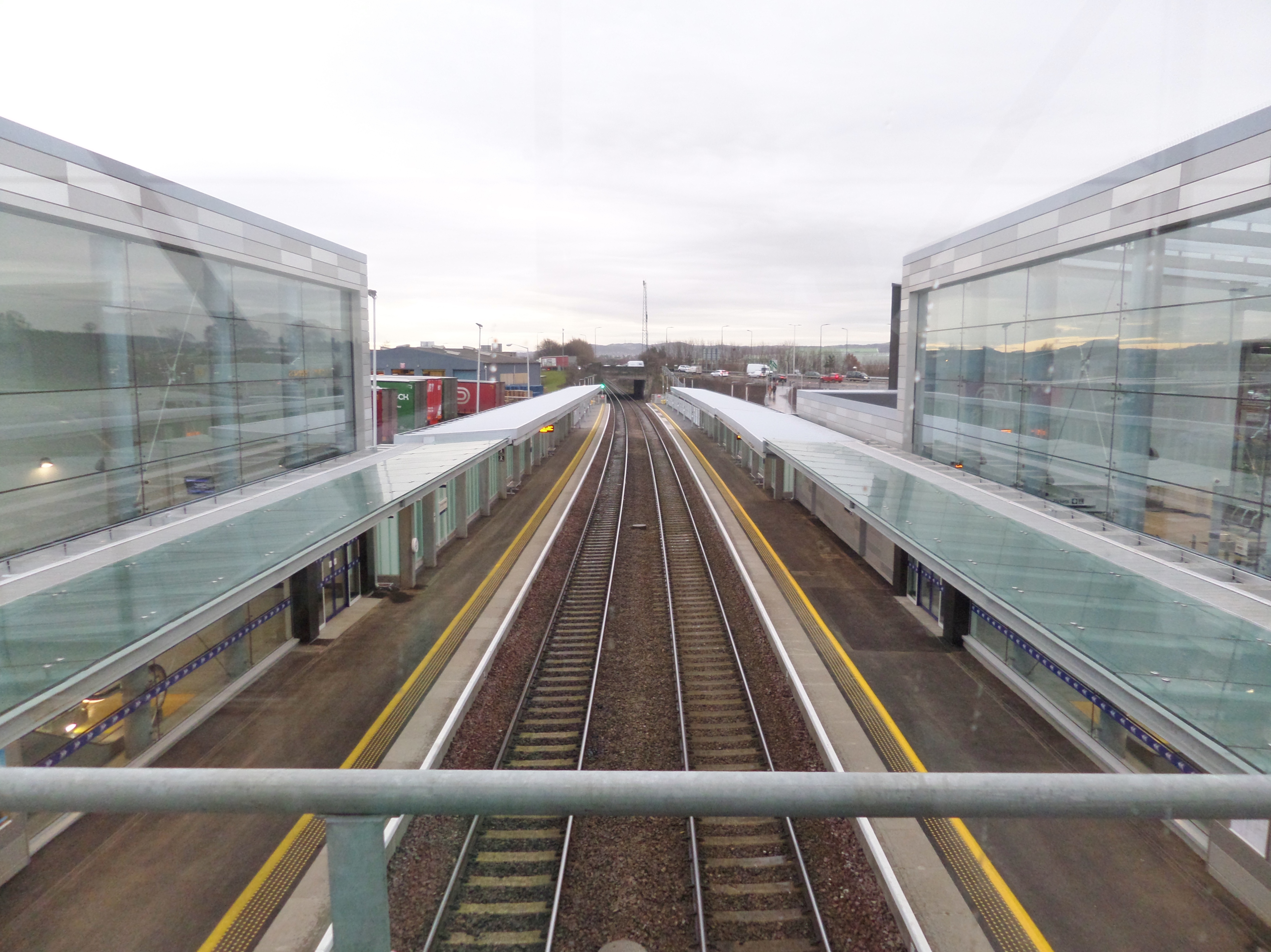
Edinburgh Gateway station
Edinburgh Gateway station is a railway station and interchange at Gogar in Edinburgh, Scotland, which opened on 11 December 2016. It is served by ScotRail...

Turnhouse
Turnhouse is a suburb in the west of Edinburgh, the capital of Scotland, near Maybury, Gogar, Cammo and West Craigs. The area is south east of Edinburgh...

Turnhouse Golf Club
Turnhouse Golf Club is a golf club situated in the West of Edinburgh on Lennie Hill at Turnhouse, Scotland. == History == The course dates back to 1897...
Nearby Amenities
Located within 500m of 55.938,-3.337Have you been to Castle Gogar?
Leave your review of Castle Gogar below (or comments, questions and feedback).