Castell Pen yr allt
Heritage Site in Pembrokeshire
Wales
Castell Pen yr allt
The requested URL returned error: 429 Too Many Requests
If you have any feedback on the listing, please let us know in the comments section below.
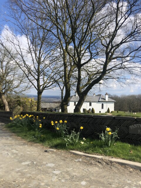
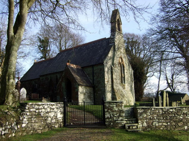
Castell Pen yr allt Images
Images are sourced within 2km of 52.05/-4.692 or Grid Reference SN1542. Thanks to Geograph Open Source API. All images are credited.


Castell Pen yr allt is located at Grid Ref: SN1542 (Lat: 52.05, Lng: -4.692)
Unitary Authority: Pembrokeshire
Police Authority: Dyfed Powys
What 3 Words
///reactions.reservoir.tango. Near Cardigan, Ceredigion
Nearby Locations
Related Wikis
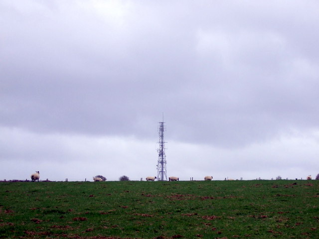
Cardigan transmitting station
The Cardigan transmitting station is a broadcasting and telecommunications facility located at Penwaun in Pembrokeshire, Wales, about 3 km to the south...

Llantood
Llantood (formerly Llantyd, Llantwyd or Llan-Illtyd) is a hamlet and parish in Cilgerran community, north Pembrokeshire, Wales. == Location == Llantood...

Bridell
Bridell (Welsh: Y Bridell) is a small settlement and parish in north Pembrokeshire, Wales. The parish includes the village of Pen-y-bryn. Together with...
Monington, Pembrokeshire
Monington (Welsh: Eglwys Wythwr) is a small settlement and parish in the community of Nevern, north Pembrokeshire, Wales. It is on the Nant Ceibwr (Ceibwr...
Nearby Amenities
Located within 500m of 52.05,-4.692Have you been to Castell Pen yr allt?
Leave your review of Castell Pen yr allt below (or comments, questions and feedback).