Castell Olwen

Heritage Site in Cardiganshire

Wales

Castell Olwen

Lane leading past Falcondale Lake
Lane leading past Falcondale Lake Credit: Sandy Gerrard

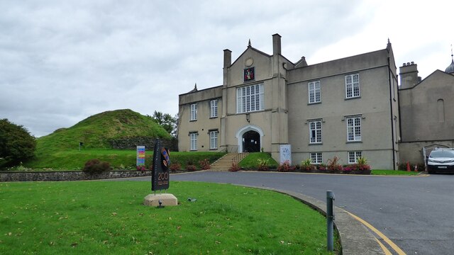
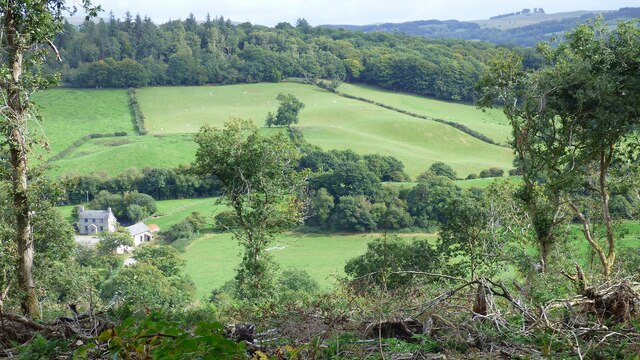
Castell Olwen is a historic site located in Cardiganshire, Wales. It is a medieval castle that dates back to the 12th century and is considered a significant heritage site in the region. The castle is situated on a hilltop, offering panoramic views of the surrounding countryside.

The original construction of Castell Olwen is attributed to the Normans, who built it as a defensive structure during their conquest of Wales. Over the centuries, the castle underwent several modifications and expansions, reflecting the changing needs and architectural styles of the time.

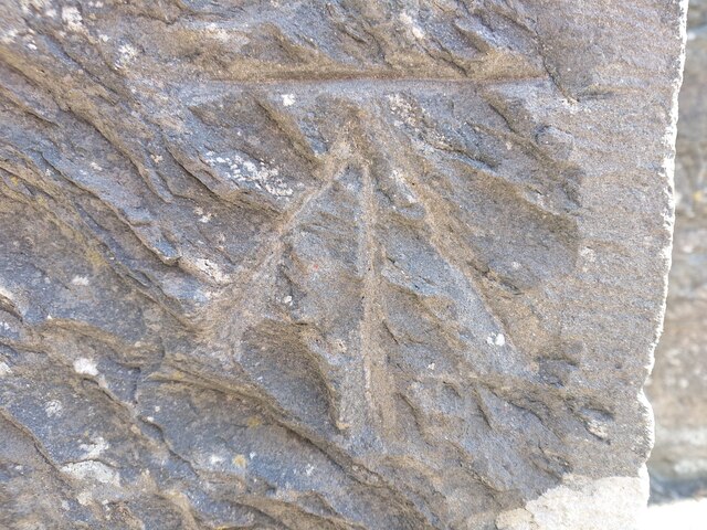
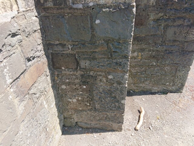
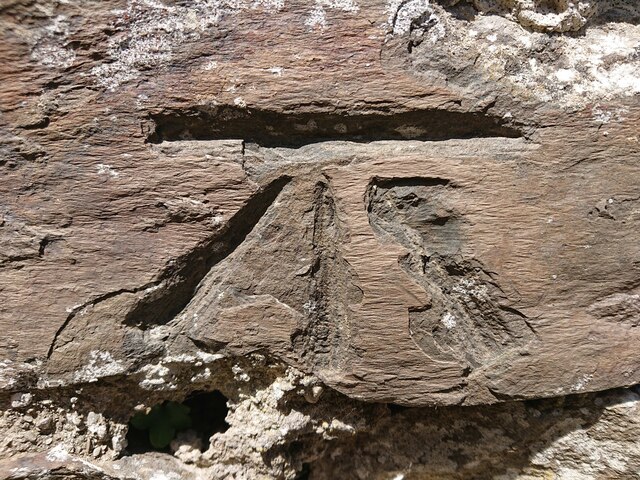
The castle features a stone keep, which served as the main residential and administrative area for the lords who controlled the site. The walls of the keep are adorned with intricate carvings and decorative elements, showcasing the skilled craftsmanship of the period.

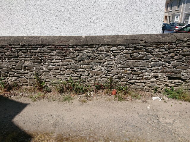
In addition to the keep, Castell Olwen also includes a series of defensive walls, a gatehouse, and a courtyard. The castle's strategic location and fortified structure played a significant role in its defense during various conflicts and sieges throughout history.

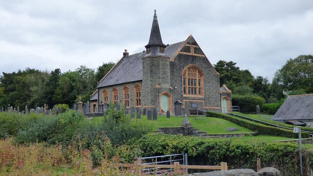
Today, Castell Olwen is open to the public as a heritage site and offers visitors a glimpse into the medieval past of Cardiganshire. Guided tours are available, providing insight into the castle's history, architecture, and the daily lives of its inhabitants. The site also hosts various events and exhibitions, further enriching the visitor experience.

Castell Olwen stands as a reminder of Wales' rich cultural heritage and serves as a valuable educational resource for locals and tourists alike.

If you have any feedback on the listing, please let us know in the comments section below.

Castell Olwen Images

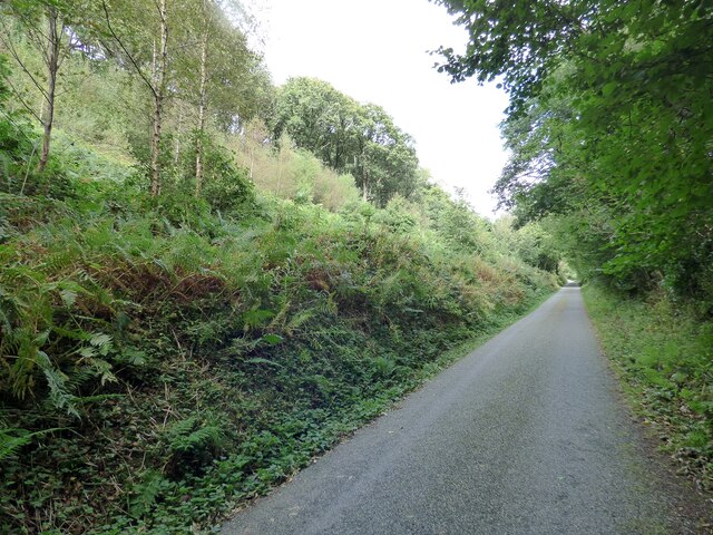
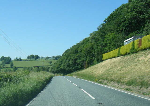
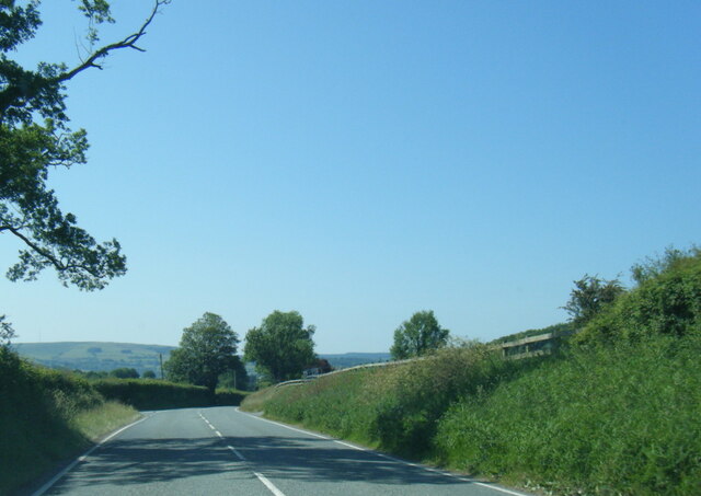
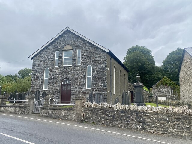
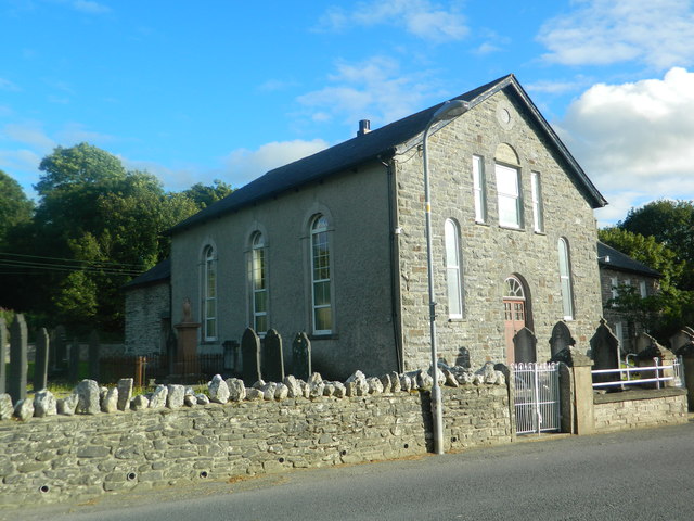
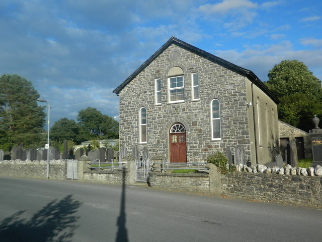
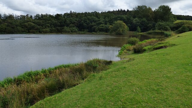
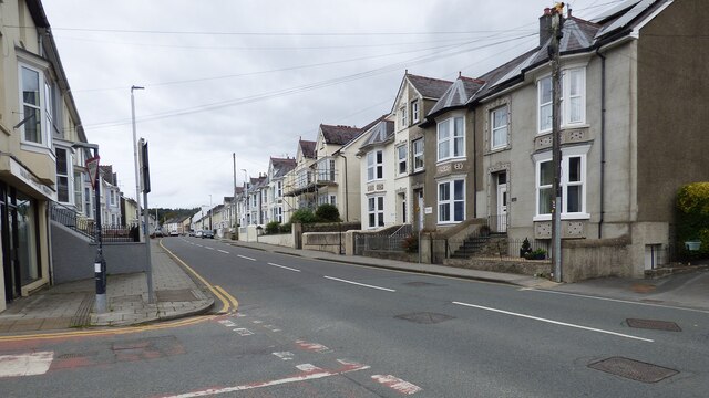
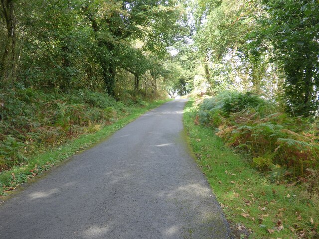
Images are sourced within 2km of 52.125/-4.067 or Grid Reference SN5849. Thanks to Geograph Open Source API. All images are credited.

Lane leading past Falcondale Lake
A485 at Allt Coed Parc
A485 near Dyffryn Farm
Capel yr Erw Independent Welsh Chapel, built in 1811, rebuilt in 1863 and renewed in 1933
Capel yr Erw
Independent Welsh Chapel, built in 1811, rebuilt in 1863 and renewed in 1933
Capel-yr-Erw, Cellan Welsh Independent (i.e. Congregationalist)
Capel-yr-Erw, Cellan
Welsh Independent (i.e. Congregationalist)
Capel-yr-Erw, Cellan
Road to Lampeter Bowls Club and to tennis courts, Road to sports facilities at Lampeter.
Road to Lampeter Bowls Club and to tennis courts,
Road to sports facilities at Lampeter.
Timber Lorry sheding its load Fortunately nobody was hurt.
Timber Lorry sheding its load
Fortunately nobody was hurt.
Falcondale Lake
Falcondale Lake
Looking along Bridge Street
Old Building and Medieval Motte at University of Wales Trinity Saint David's
Country Lane North of Lampeter/Llanbedr Pont Stefan
Olwen Farmstead and Fields I had hoped to get a decent photograph of Castell Olwen but sadly the trees completely obscure it from this angle.
Olwen Farmstead and Fields
I had hoped to get a decent photograph of Castell Olwen but sadly the trees completely obscure it from this angle.
Brondeifi Unitarian Chapel
Ordnance Survey Benchmark - Lampeter, St. Peter’s Church Ordnance Survey Benchmark (OSBM) used for levelling height above Ordnance Datum (OD).
Height (1972): 136.9200m OD (Newlyn). Mark verified by the Ordnance Survey in 1971. Description: TWR ST PETERS CH W FACE SW ANG. 0.5m above ground. 2nd Order BM.

Context: <a href="https://www.geograph.org.uk/photo/7506634">SN5748 : Ordnance Survey Benchmark - Lampeter, St. Peter’s Church</a>
Ordnance Survey Benchmark - Lampeter, St. Peter’s Church
Ordnance Survey Benchmark (OSBM) used for levelling height above Ordnance Datum (OD). Height (1972): 136.9200m OD (Newlyn). Mark verified by the Ordnance Survey in 1971. Description: TWR ST PETERS CH W FACE SW ANG. 0.5m above ground. 2nd Order BM. Context: SN5748 : Ordnance Survey Benchmark - Lampeter, St. Peter’s Church
Ordnance Survey Benchmark - Lampeter, St. Peter’s Church Ordnance Survey Benchmark (OSBM) used for levelling height above Ordnance Datum (OD).
Height (1972): 136.9200m OD (Newlyn). Mark verified by the Ordnance Survey in 1971. Description: TWR ST PETERS CH W FACE SW ANG. 0.5m above ground. 2nd Order BM.

Close-up: <a href="https://www.geograph.org.uk/photo/7506633">SN5748 : Ordnance Survey Benchmark - Lampeter, St. Peter’s Church</a>
Ordnance Survey Benchmark - Lampeter, St. Peter’s Church
Ordnance Survey Benchmark (OSBM) used for levelling height above Ordnance Datum (OD). Height (1972): 136.9200m OD (Newlyn). Mark verified by the Ordnance Survey in 1971. Description: TWR ST PETERS CH W FACE SW ANG. 0.5m above ground. 2nd Order BM. Close-up: SN5748 : Ordnance Survey Benchmark - Lampeter, St. Peter’s Church
Ordnance Survey Benchmark - Lampeter, Delville Ordnance Survey Benchmark (OSBM) used for levelling height above Ordnance Datum (OD).
Height: 120.8400m OD (Newlyn). Mark verified by the Ordnance Survey in 1972. Description: WALL DELVILLE 3M ANG WALL SE FACE. 0.4m above ground. 3rd Order BM.

Context: <a href="https://www.geograph.org.uk/photo/7506641">SN5747 : Ordnance Survey Benchmark - Lampeter, Delville</a>
Ordnance Survey Benchmark - Lampeter, Delville
Ordnance Survey Benchmark (OSBM) used for levelling height above Ordnance Datum (OD). Height: 120.8400m OD (Newlyn). Mark verified by the Ordnance Survey in 1972. Description: WALL DELVILLE 3M ANG WALL SE FACE. 0.4m above ground. 3rd Order BM. Context: SN5747 : Ordnance Survey Benchmark - Lampeter, Delville
Ordnance Survey Benchmark - Lampeter, Delville Ordnance Survey Benchmark (OSBM) used for levelling height above Ordnance Datum (OD).
Height: 120.8400m OD (Newlyn). Mark verified by the Ordnance Survey in 1972. Description: WALL DELVILLE 3M ANG WALL SE FACE. 0.4m above ground. 3rd Order BM.

Close-up: <a href="https://www.geograph.org.uk/photo/7506640">SN5747 : Ordnance Survey Benchmark - Lampeter, Delville</a>
Ordnance Survey Benchmark - Lampeter, Delville
Ordnance Survey Benchmark (OSBM) used for levelling height above Ordnance Datum (OD). Height: 120.8400m OD (Newlyn). Mark verified by the Ordnance Survey in 1972. Description: WALL DELVILLE 3M ANG WALL SE FACE. 0.4m above ground. 3rd Order BM. Close-up: SN5747 : Ordnance Survey Benchmark - Lampeter, Delville
Show me another place!

Castell Olwen is located at Grid Ref: SN5849 (Lat: 52.125, Lng: -4.067)

Unitary Authority: Ceredigion

Police Authority: Dyfed Powys

What 3 Words

///releasing.premises.brightens. Near Lampeter, Ceredigion

Related Wikis

A485 road

The A485 is an A road linking Tanerdy near Carmarthen to Llanfarian near Aberystwyth in Wales. Settlements along the route include: Tanerdy Peniel Rhydargaeau...

Lampeter railway station

Lampeter railway station, on the Carmarthen to Aberystwyth Line in Wales, was built to serve the town of Lampeter. It opened in 1866, six years after the...

Lampeter

Lampeter (; Welsh: Llanbedr Pont Steffan (formal); Llambed (colloquial)) is a town, community and electoral ward in Ceredigion, Wales, at the confluence...

Lampeter Castle

Lampeter Castle (Welsh: Castell Llanbedr), sometimes known as Stephen's Castle, was built during the Norman expansion into Wales at the end of the eleventh...

Have you been to Castell Olwen?

Leave your review of Castell Olwen below (or comments, questions and feedback).