Castell Coch
Heritage Site in Pembrokeshire
Wales
Castell Coch
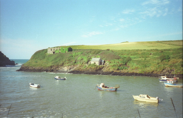
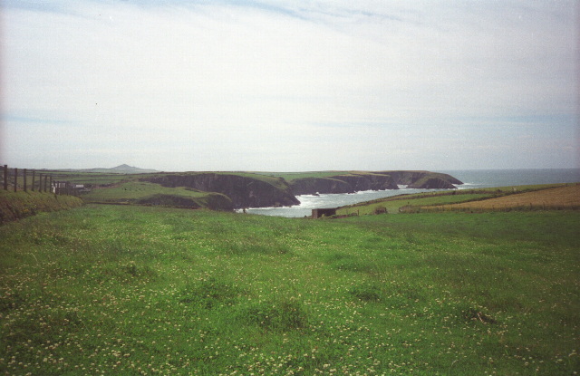
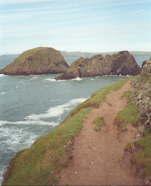
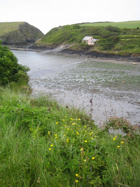
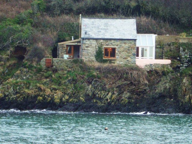
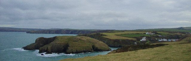
Castell Coch, also known as the Red Castle, is a magnificent medieval fortress located in Pembrokeshire, Wales. This heritage site is perched atop a hill, surrounded by breathtaking natural scenery and lush greenery. The castle, which dates back to the 13th century, is renowned for its unique architecture and stunning red stone exterior.
Originally built as a defensive structure by the powerful Welsh Marcher Lord, Gilbert de Clare, Castell Coch was later reconstructed in the 19th century by the eccentric architect William Burges. Burges transformed the castle into a Gothic Revival masterpiece, adding intricate detailing and opulent interiors.
Visitors to Castell Coch can explore the castle's various rooms, each adorned with richly painted ceilings, stained glass windows, and ornate furnishings. Highlights include the Drawing Room, adorned with beautiful murals depicting scenes from Welsh legends, the Banqueting Hall, featuring an impressive fireplace, and the Octagonal Tower, offering panoramic views of the surrounding countryside.
The castle's grounds also provide a delightful experience, with well-maintained gardens and woodland trails. Visitors can take leisurely walks, enjoying the tranquility and beauty of the natural surroundings.
Castell Coch is a popular tourist attraction, offering guided tours and educational exhibits that delve into its history and architectural significance. The castle provides a unique glimpse into medieval life and the Victorian era's fascination with the past. It is a must-visit destination for history enthusiasts, architecture lovers, and nature seekers alike.
If you have any feedback on the listing, please let us know in the comments section below.
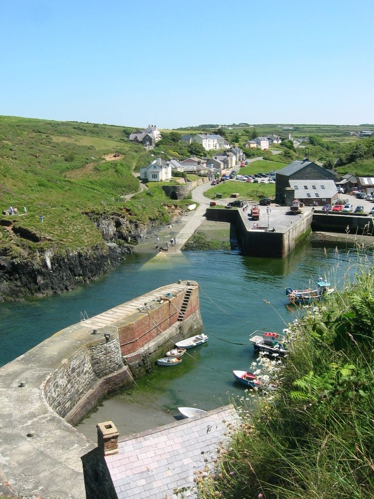
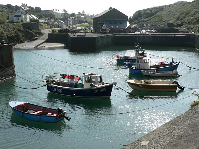
Castell Coch Images
Images are sourced within 2km of 51.958/-5.137 or Grid Reference SM8433. Thanks to Geograph Open Source API. All images are credited.
Castell Coch is located at Grid Ref: SM8433 (Lat: 51.958, Lng: -5.137)
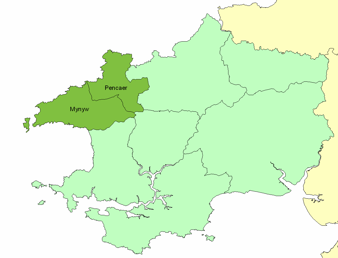
Unitary Authority: Pembrokeshire
Police Authority: Dyfed Powys
What 3 Words
///blacked.basket.officials. Near Llanrhian, Pembrokeshire
Nearby Locations
Related Wikis

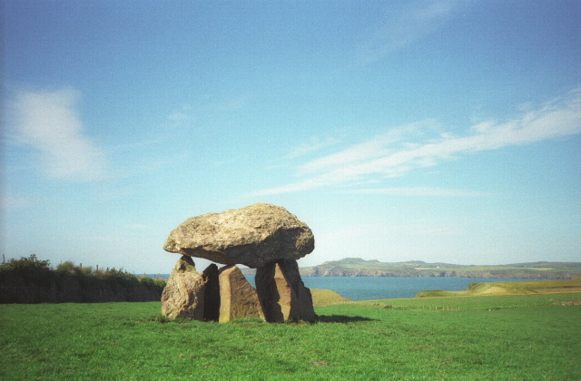
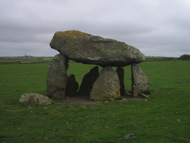
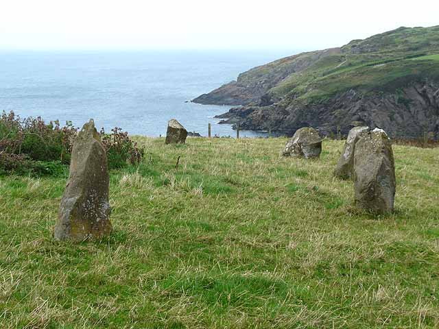
Carreg Samson
Carreg Samson (also known as Carreg Sampson, Samson's Stone, or the Longhouse) is a 5000-year-old Neolithic dolmen located half a mile west of Abercastle...

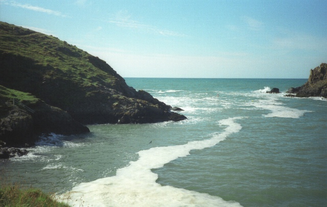
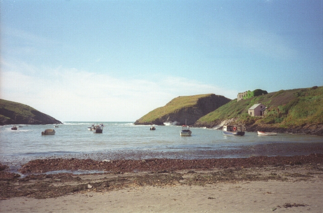
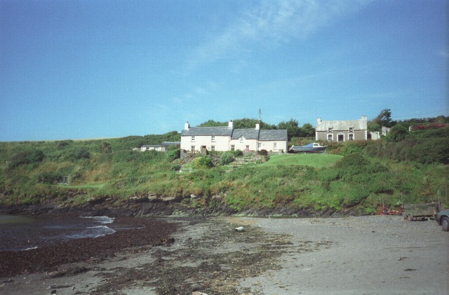
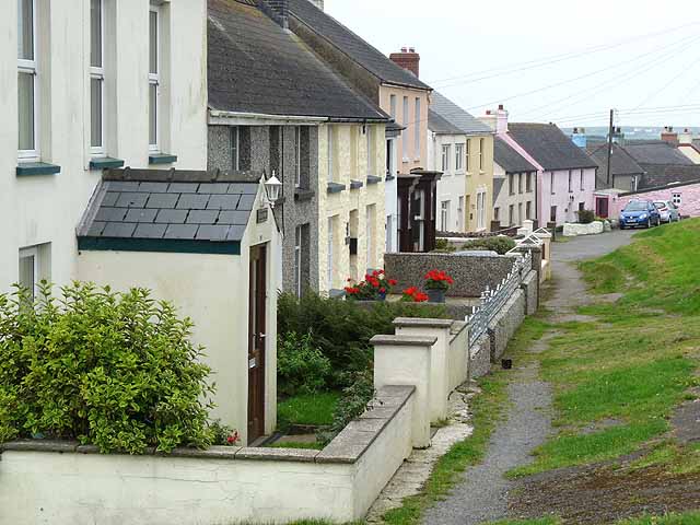
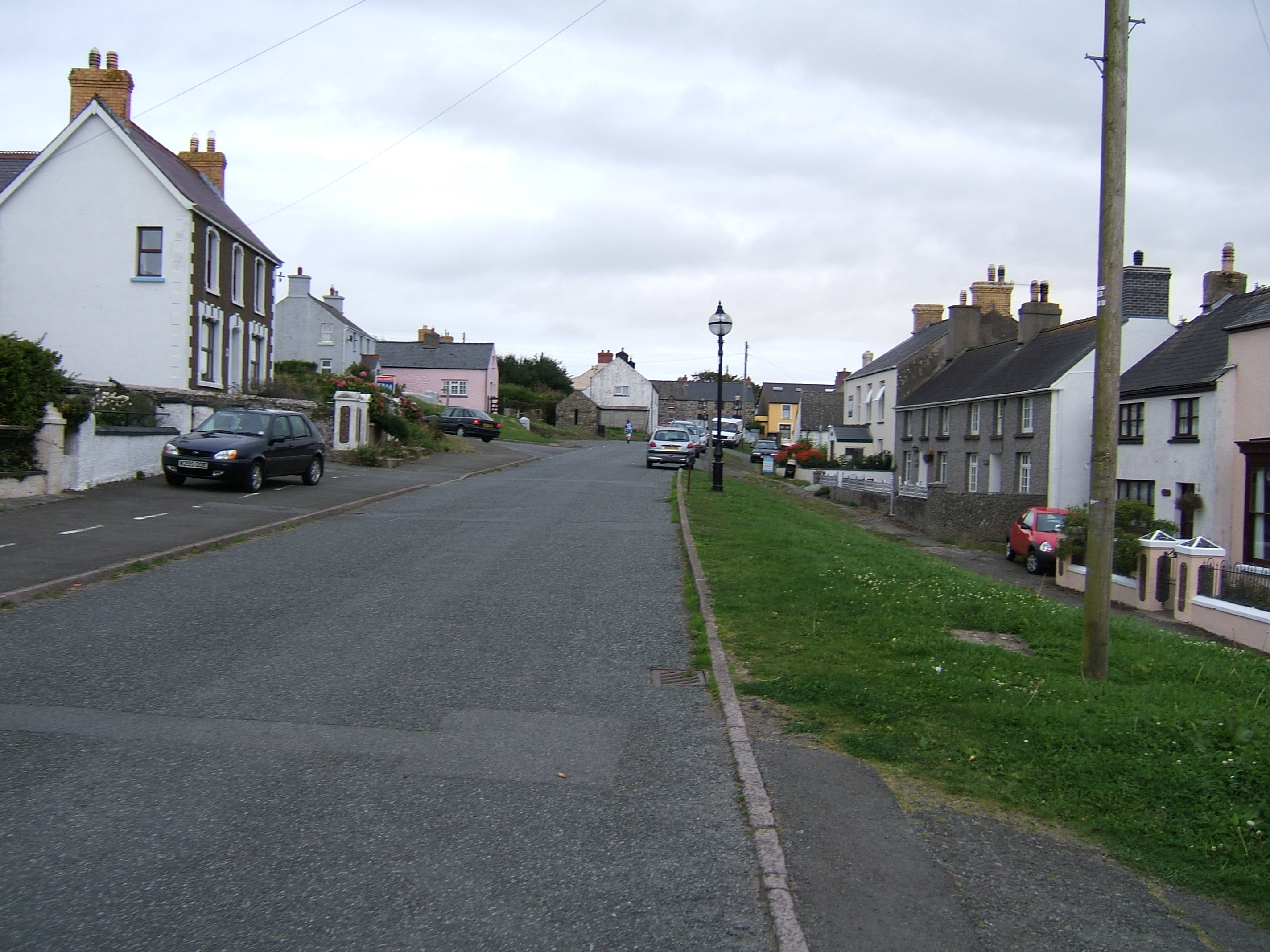
Abercastle
Abercastle (Welsh: Abercastell) is a village in Pembrokeshire, Wales. Abercastle has a working harbour which is managed by Abercastle Boat Owners Association...
Dewisland
The Hundred of Dewisland (often written "Dewsland") was a hundred in northwest Pembrokeshire, Wales. Formerly the pre-Norman cantref of Pebidiog, it included...
Trefin
Trefin (Welsh standardised:Tre-fin), formerly anglicised as Trevine, is a village in North Pembrokeshire, south-west Wales. The village lies within the...

Penparc, Pembrokeshire
Penparc is a village in the community of Llanrhian, Pembrokeshire, Wales. Located near Trefin and Croesgoch, the village also includes the settlement of...
Porthgain Railway
The Porthgain Railway was a 3 ft (914 mm) narrow gauge industrial railway connecting the Pen Clegyr and St. Bride's quarries with Porthgain harbour. It...
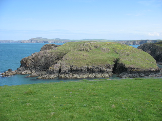
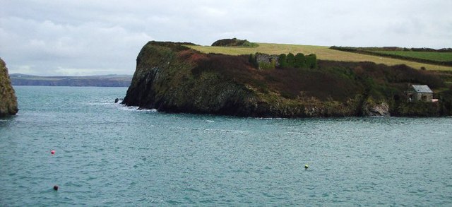
Porthgain
Porthgain (Welsh for fair/beautiful port or more likely 'chisel port' from the Welsh 'porth' meaning port and 'gaing' meaning chisel as used by the many...

Llanrhian
Llanrhian is a small village, community and parish in Pembrokeshire in west Wales, near the coast, south of Porthgain village. The community of Llanrhian...
Nearby Amenities
Located within 500m of 51.958,-5.137Have you been to Castell Coch?
Leave your review of Castell Coch below (or comments, questions and feedback).