Cwm Badau
Valley in Pembrokeshire
Wales
Cwm Badau
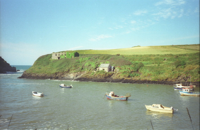
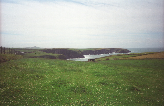
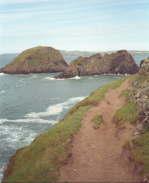
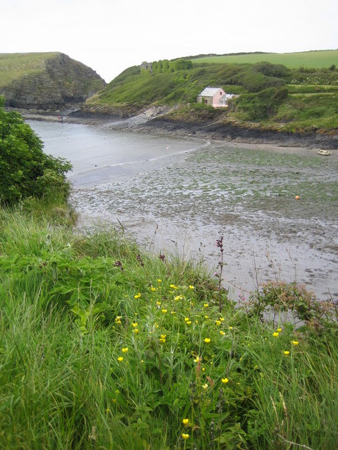
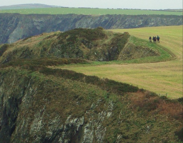
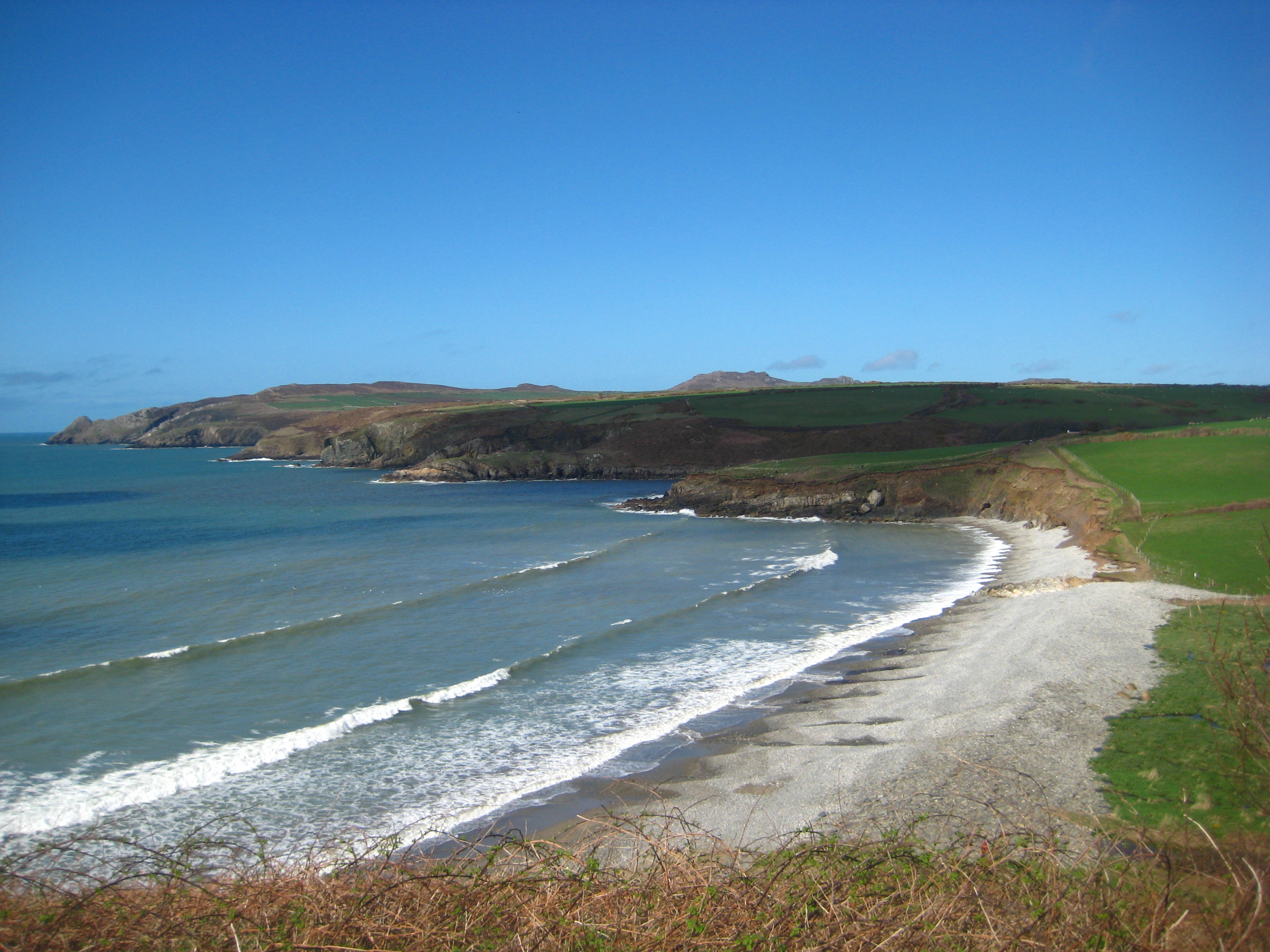
Cwm Badau is a picturesque valley located in Pembrokeshire, Wales. It is situated near the village of Mathry, nestled between the Preseli Hills and the North Pembrokeshire coastline. The valley is renowned for its outstanding natural beauty and is a popular destination for hikers, nature lovers, and outdoor enthusiasts.
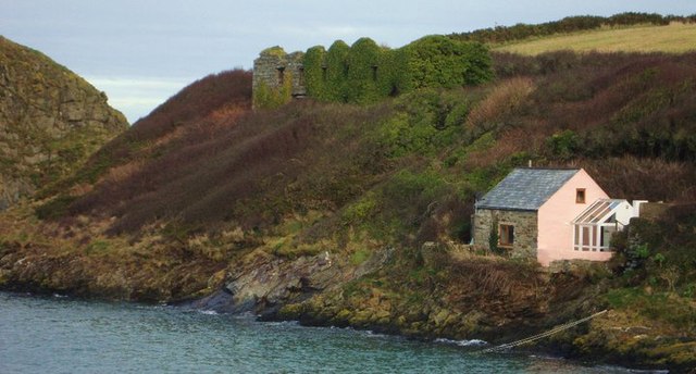
The valley is characterized by its lush green meadows, rolling hills, and meandering streams. It is home to a diverse range of flora and fauna, including various species of birds, butterflies, and wildflowers. The area is also known for its ancient woodlands, which provide a habitat for many rare and protected species.
One of the main attractions in Cwm Badau is the Badau Waterfall, which cascades down a series of rocky steps, creating a spectacular display of nature's power. The waterfall is a sight to behold, especially after heavy rainfall when the water gushes down with great force. It provides a tranquil spot for visitors to relax and take in the beauty of the surroundings.
The valley is also rich in historical and archaeological significance. There are several ancient monuments and ruins scattered throughout the area, including burial chambers and standing stones, which provide insight into the area's ancient past.
Overall, Cwm Badau offers a unique and serene experience for those seeking a peaceful retreat in the heart of Pembrokeshire. Its natural beauty, diverse wildlife, and historical significance make it a must-visit destination for anyone exploring the region.
If you have any feedback on the listing, please let us know in the comments section below.
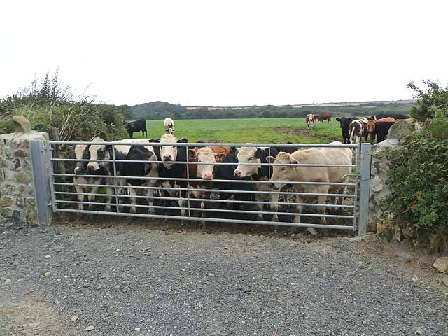
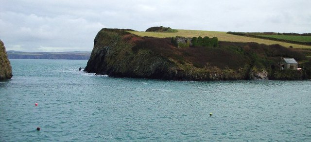
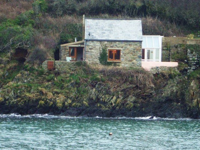
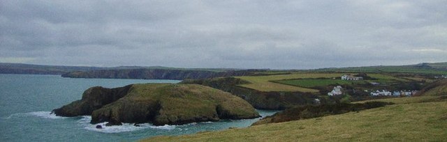
Cwm Badau Images
Images are sourced within 2km of 51.960046/-5.1314955 or Grid Reference SM8433. Thanks to Geograph Open Source API. All images are credited.
Cwm Badau is located at Grid Ref: SM8433 (Lat: 51.960046, Lng: -5.1314955)
Unitary Authority: Pembrokeshire
Police Authority: Dyfed Powys
What 3 Words
///wolf.seatbelt.ownership. Near Mathry, Pembrokeshire
Nearby Locations
Related Wikis

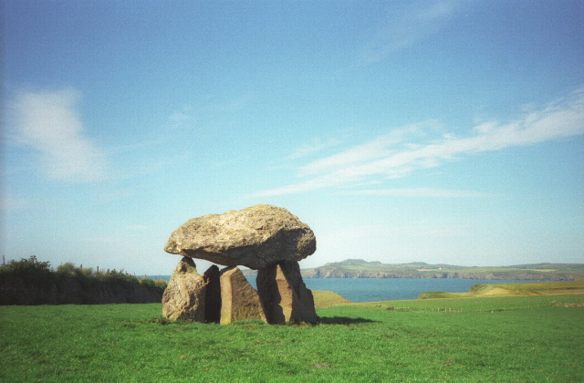
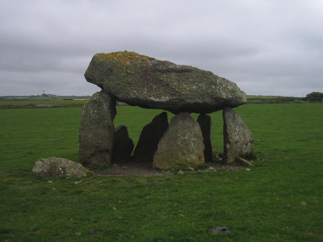
Carreg Samson
Carreg Samson (also known as Carreg Sampson, Samson's Stone, or the Longhouse) is a 5000-year-old Neolithic dolmen located half a mile west of Abercastle...

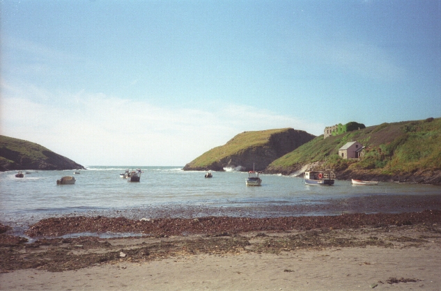
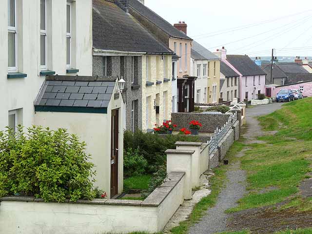
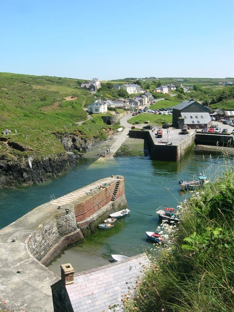
Abercastle
Abercastle (Welsh: Abercastell) is a village in Pembrokeshire, Wales. Abercastle has a working harbour which is managed by Abercastle Boat Owners Association...
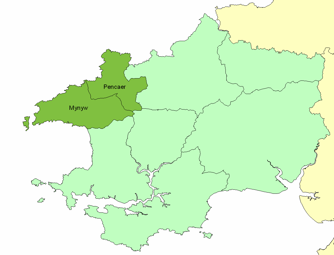
Dewisland
The Hundred of Dewisland (often written "Dewsland") was a hundred in northwest Pembrokeshire, Wales. Formerly the pre-Norman cantref of Pebidiog, it included...
Trefin
Trefin (Welsh standardised:Tre-fin), formerly anglicised as Trevine, is a village in North Pembrokeshire, south-west Wales. The village lies within the...

Penparc, Pembrokeshire
Penparc is a village in the community of Llanrhian, Pembrokeshire, Wales. Located near Trefin and Croesgoch, the village also includes the settlement of...

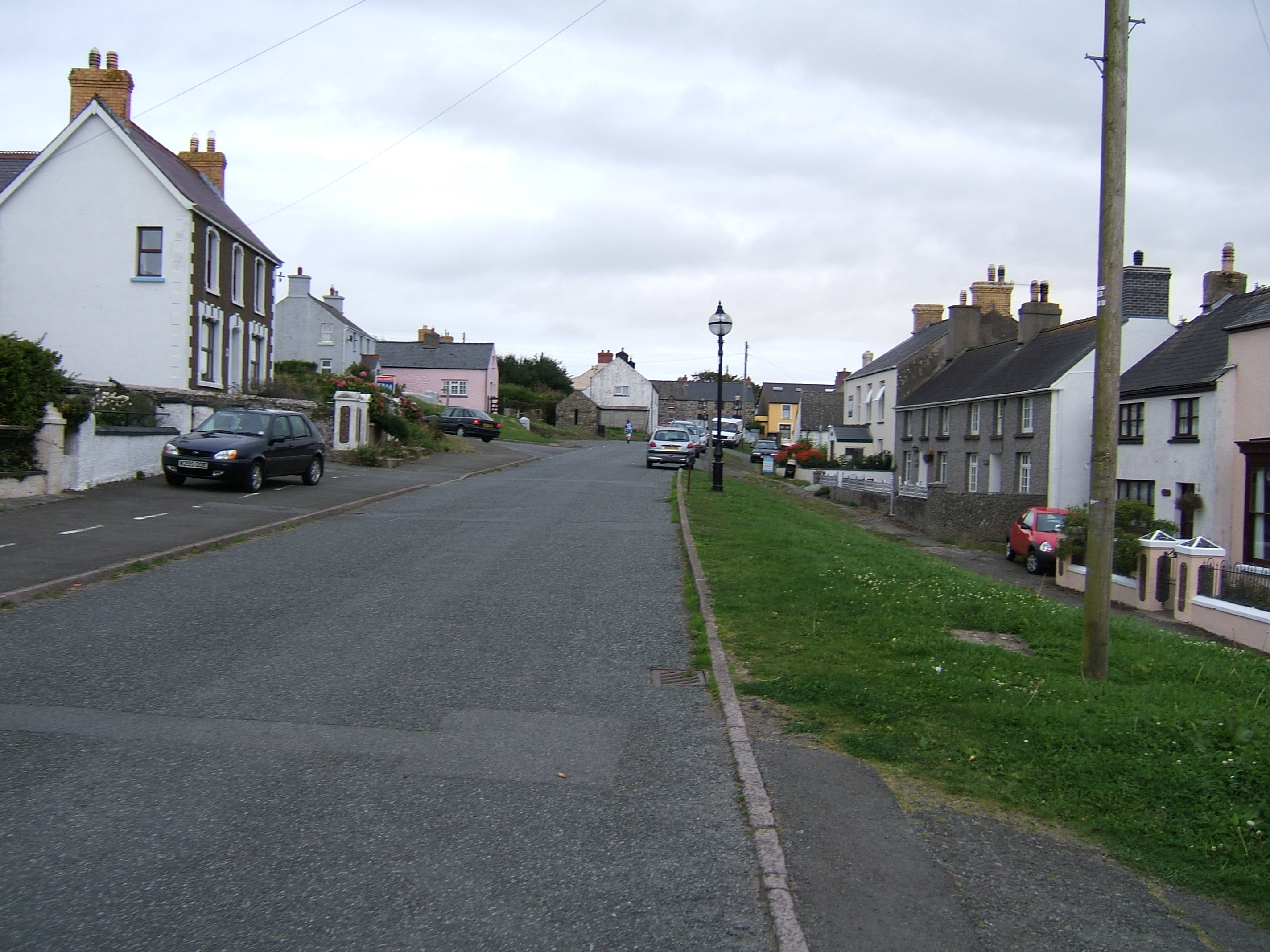
Mathry
Mathry (Welsh: Mathri) is a village, community and parish in Pembrokeshire, Wales. The hilltop village is 6 miles (9.7 km) southwest of Fishguard, close...
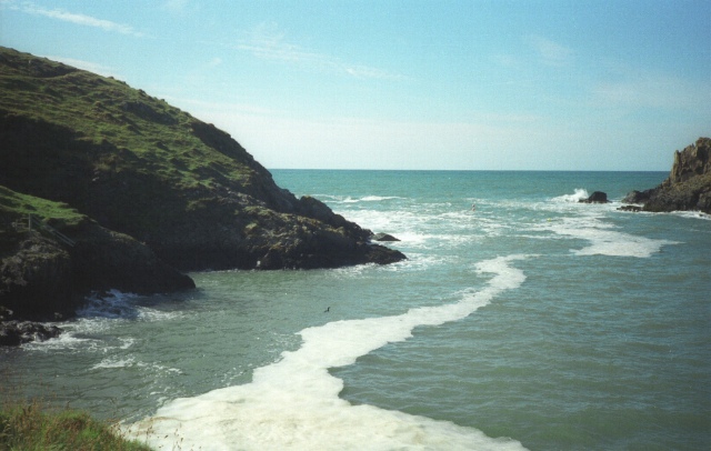
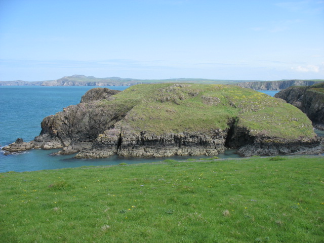
Abermawr
Abermawr is a stretch of coastline and is regarded as a Site of Special Scientific Interest in Pembrokeshire, Wales. Abermawr is a mostly shingle beach...
Porthgain Railway
The Porthgain Railway was a 3 ft (914 mm) narrow gauge industrial railway connecting the Pen Clegyr and St. Bride's quarries with Porthgain harbour. It...
Nearby Amenities
Located within 500m of 51.960046,-5.1314955Have you been to Cwm Badau?
Leave your review of Cwm Badau below (or comments, questions and feedback).