Carreg Sampson

Heritage Site in Pembrokeshire

Wales

Carreg Sampson

Carreg Sampson A Neolithic burial chamber or cromlech. The capstone lies on three of the six uprights and is approximately 6m by 3m in size.
Carreg Sampson Credit: E Gammie

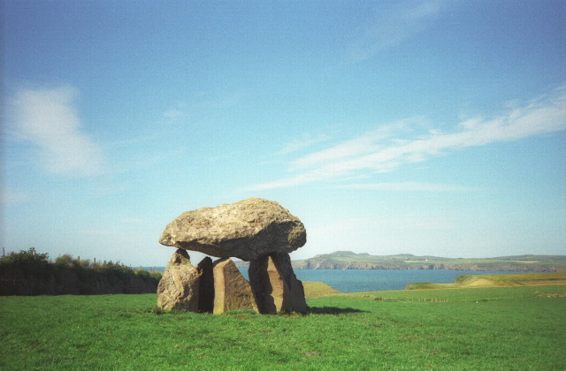
Carreg Sampson is a well-preserved Neolithic burial chamber located in Pembrokeshire, Wales. It is classified as a heritage site due to its historical and archaeological significance. The name "Carreg Sampson" translates to "Sampson's Stone" in Welsh, suggesting a connection to the Biblical figure.

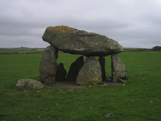
The burial chamber is positioned on a hillside overlooking the picturesque Pembrokeshire countryside. It consists of a large capstone supported by three upright stones, creating a small chamber. The capstone is estimated to weigh around 16 tons, making it an impressive feat of Neolithic engineering.

Archaeological evidence suggests that Carreg Sampson was constructed around 5000 years ago, during the early Neolithic period. It is speculated that the chamber was used for communal burials, as human remains have been found in the vicinity.

Visitors to Carreg Sampson can explore the site and marvel at the ancient structure. The chamber is easily accessible, with a short walk from a nearby car park. The surrounding landscape provides a peaceful atmosphere, perfect for contemplation and reflection.

Carreg Sampson is not only a testament to the advanced building techniques of our Neolithic ancestors but also serves as a reminder of the rich cultural heritage of the Pembrokeshire region. Its historical and archaeological significance has resulted in its designation as a protected heritage site, ensuring its preservation for future generations to appreciate and study.

If you have any feedback on the listing, please let us know in the comments section below.

Carreg Sampson Images

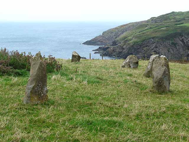
Images are sourced within 2km of 51.958/-5.137 or Grid Reference SM8433. Thanks to Geograph Open Source API. All images are credited.

Carreg Sampson A Neolithic burial chamber or cromlech. The capstone lies on three of the six uprights and is approximately 6m by 3m in size.
Carreg Sampson
A Neolithic burial chamber or cromlech. The capstone lies on three of the six uprights and is approximately 6m by 3m in size.
Entrance to the bay Choppy waters at the entrance to the narrow sheltered bay of Abercastle.

See <a title="https://www.geograph.org.uk/photo/2018024" href="https://www.geograph.org.uk/photo/2018024">Link</a> for a comparative view (2010) at a lower tide level.
Entrance to the bay
Choppy waters at the entrance to the narrow sheltered bay of Abercastle. See Link for a comparative view (2010) at a lower tide level.
Aber Castle Boats moored in the narrow bay of Aber Castle with Ynys y Castell on the right, at the mouth of the bay.
Aber Castle
Boats moored in the narrow bay of Aber Castle with Ynys y Castell on the right, at the mouth of the bay.
Cottages by the bay Cottages on the north side of the head of the bay at Abercastle.
Cottages by the bay
Cottages on the north side of the head of the bay at Abercastle.
Boats in the bay Boats moored in Aber Castle with Ynys y Castell to the left, viewed from the Pembrokeshire Coast path.
Boats in the bay
Boats moored in Aber Castle with Ynys y Castell to the left, viewed from the Pembrokeshire Coast path.
Fields near Trefin Looking westward across Aber Draw from the footpath joining Trefin with the coast path.
Fields near Trefin
Looking westward across Aber Draw from the footpath joining Trefin with the coast path.
Ynys Deullyn Ynys Deullyn from the Pembrokeshire Coast path, a short section of which can be seen in the foreground.
Ynys Deullyn
Ynys Deullyn from the Pembrokeshire Coast path, a short section of which can be seen in the foreground.
Abercastle
Abercastle
Carreg Samson
Carreg Samson
Ynys y Castell A small tidal island guarding the entrance to Abercastle harbour.
Ynys y Castell
A small tidal island guarding the entrance to Abercastle harbour.
Minor road junction near Trefin The road to the right goes to Abercastle. The road straight ahead leads to Trefin.
Minor road junction near Trefin
The road to the right goes to Abercastle. The road straight ahead leads to Trefin.
Cattle feeding Almost on the cliff edge near Trefin, a contrast with the many coastal views.
Cattle feeding
Almost on the cliff edge near Trefin, a contrast with the many coastal views.
Stone circle above Aber Draw A stone circle of unknown provenance overlooking the sea.
Stone circle above Aber Draw
A stone circle of unknown provenance overlooking the sea.
Cottages in Trefin
Cottages in Trefin
Bullocks at Llanwg Near Trefin.
Bullocks at Llanwg
Near Trefin.
Abercastle The sound between Ynys y Castell and the mainland, looking to Pwllcrochan. At low tide it is linked by a causeway.
Abercastle
The sound between Ynys y Castell and the mainland, looking to Pwllcrochan. At low tide it is linked by a causeway.
Harbour cottage What an amazing place to live
Harbour cottage
What an amazing place to live
Coast Path to Abercastle Heading in an easterly direction
Coast Path to Abercastle
Heading in an easterly direction
Show me another place!

Carreg Sampson is located at Grid Ref: SM8433 (Lat: 51.958, Lng: -5.137)

Unitary Authority: Pembrokeshire

Police Authority: Dyfed Powys

What 3 Words

///blacked.basket.officials. Near Llanrhian, Pembrokeshire

Related Wikis

Carreg Samson

Carreg Samson (also known as Carreg Sampson, Samson's Stone, or the Longhouse) is a 5000-year-old Neolithic dolmen located half a mile west of Abercastle...
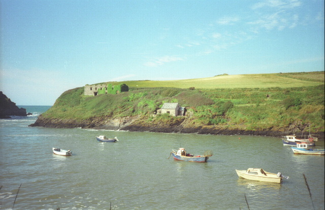
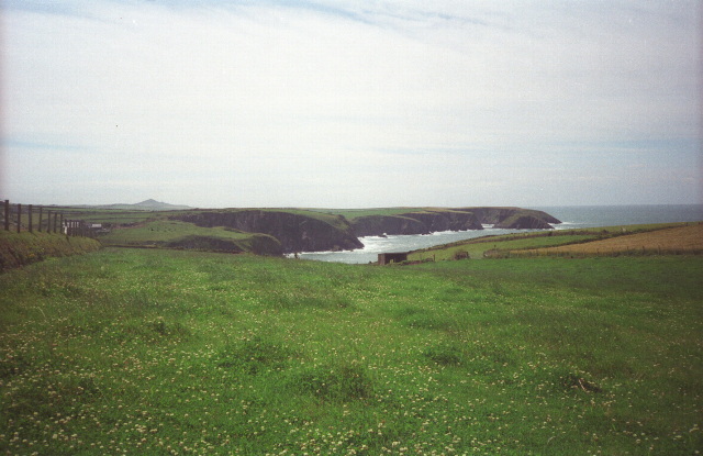
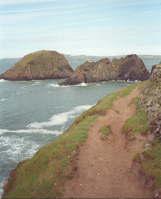
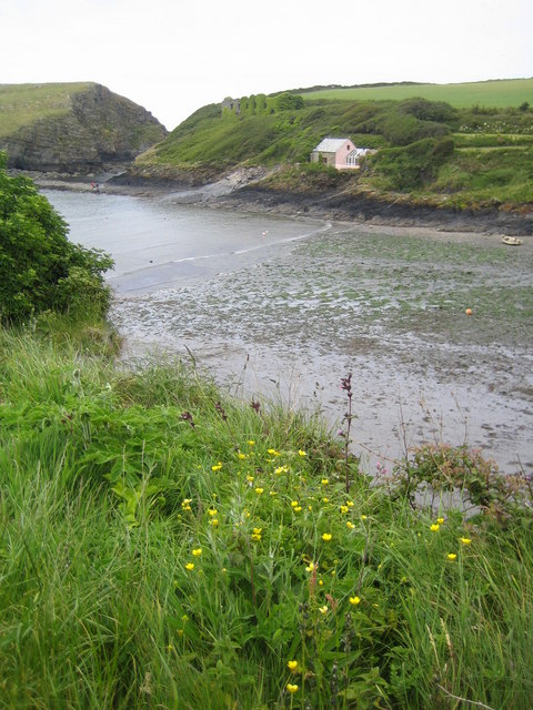
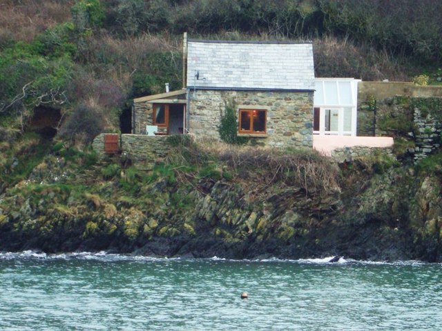
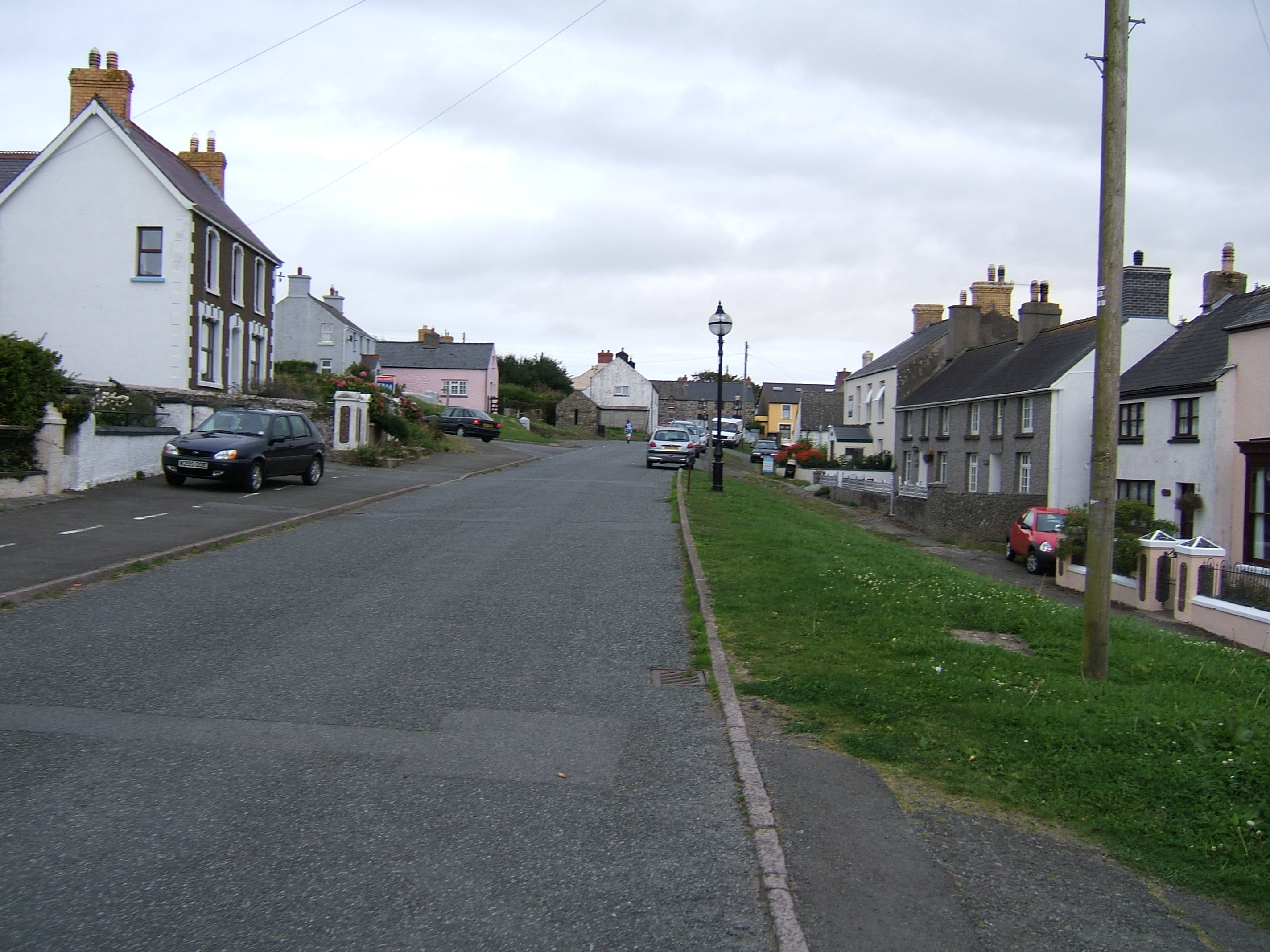
Abercastle

Abercastle (Welsh: Abercastell) is a village in Pembrokeshire, Wales. Abercastle has a working harbour which is managed by Abercastle Boat Owners Association...
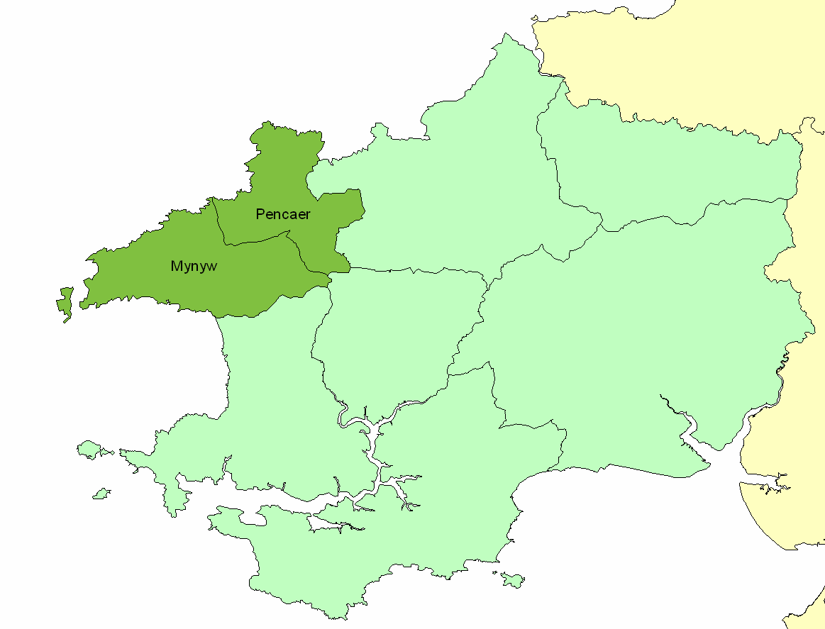
Dewisland

The Hundred of Dewisland (often written "Dewsland") was a hundred in northwest Pembrokeshire, Wales. Formerly the pre-Norman cantref of Pebidiog, it included...
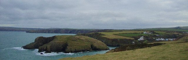
Trefin

Trefin (Welsh standardised:Tre-fin), formerly anglicised as Trevine, is a village in North Pembrokeshire, south-west Wales. The village lies within the...

Nearby Amenities

Located within 500m of 51.958,-5.137
Carreg Samson
Archaeological Site: megalith
Historic: archaeological_site
Historic Civilization: prehistoric
Megalith Type: dolmen
Wikidata: Q15216099
Wikipedia: en:Carreg Samson
Lat/Long: 51.9583314/-5.1329629
Power: pole
Transformer: distribution
Lat/Long: 51.956733/-5.1340994
Power: pole
Lat/Long: 51.956895/-5.132592
Power: pole
Lat/Long: 51.9566289/-5.1312804
The data included in this document is from www.openstreetmap.org. The data is made available under ODbL.

Have you been to Carreg Sampson?

Leave your review of Carreg Sampson below (or comments, questions and feedback).