Castell Blaenllynfi

Heritage Site in Brecknockshire

Wales

Castell Blaenllynfi

A40 by Llwyfen Farm With the sunlight highlighting the slopes of Pen Allt-mawr.
A40 by Llwyfen Farm Credit: Jennifer Luther Thomas

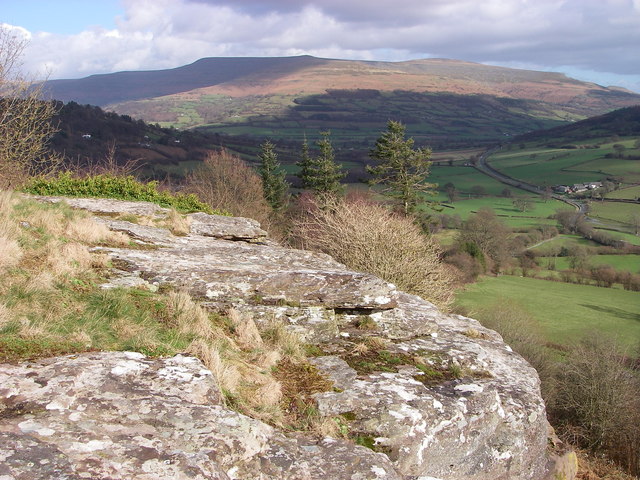
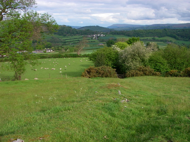
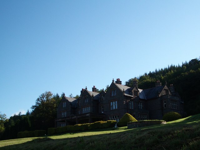
Castell Blaenllynfi, located in Brecknockshire, Wales, is a historic heritage site that holds significant cultural and architectural value. The castle, also referred to as Blaen Llynfi Castle, is situated on a hilltop, providing panoramic views of the surrounding countryside.

The origins of Castell Blaenllynfi date back to the 12th century when it was built as a defensive structure to protect the region from potential invasions. Over the centuries, the castle underwent several renovations and expansions, reflecting the changing needs and architectural styles of the time.

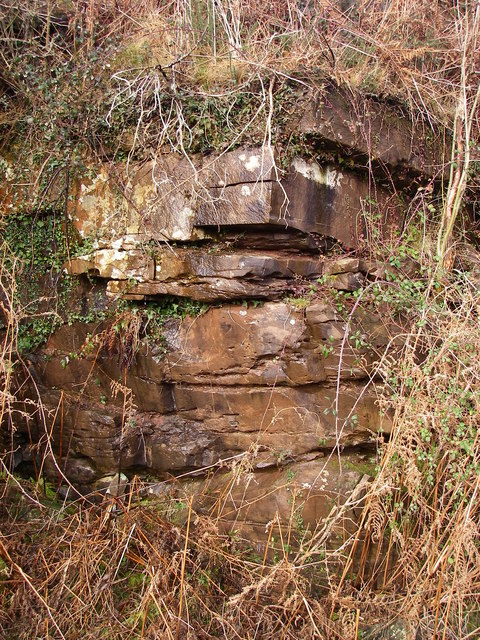
The castle features a mix of architectural elements, including a square keep, curtain walls, and round towers. These elements provide insight into the castle's defensive capabilities during medieval times. Additionally, the presence of a moat surrounding the castle further emphasizes its strategic importance.

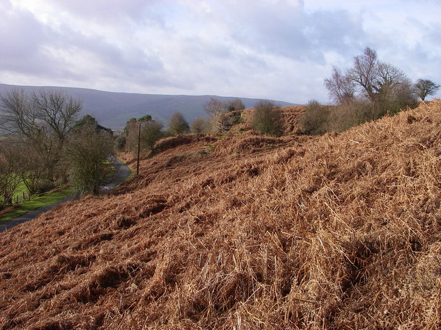
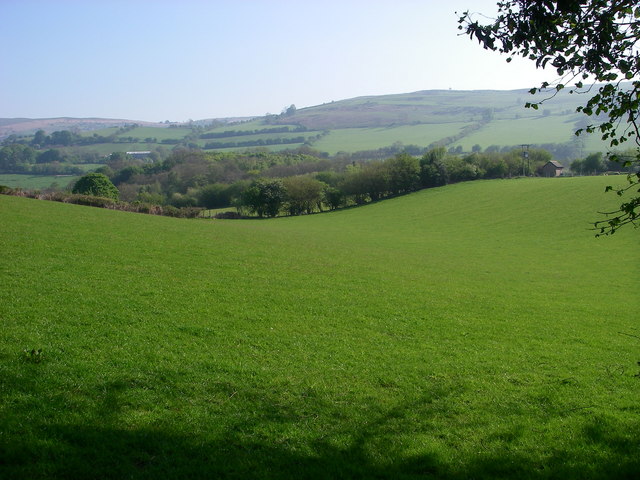
Today, Castell Blaenllynfi stands as a picturesque ruin, with remnants of its walls and towers still visible. Visitors can explore the site, taking in the historical significance and enjoying the scenic beauty that surrounds it. The castle's location also offers opportunities for hiking and nature walks, adding to the overall experience.

As a heritage site, Castell Blaenllynfi serves as a reminder of Wales' rich history and its architectural prowess. Its preservation and accessibility allow locals and tourists alike to delve into the past and appreciate the castle's cultural significance within the region.

If you have any feedback on the listing, please let us know in the comments section below.

Castell Blaenllynfi Images

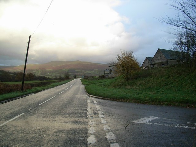
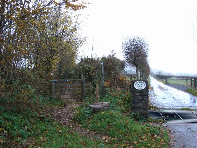
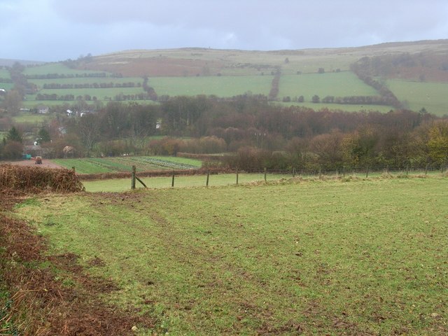
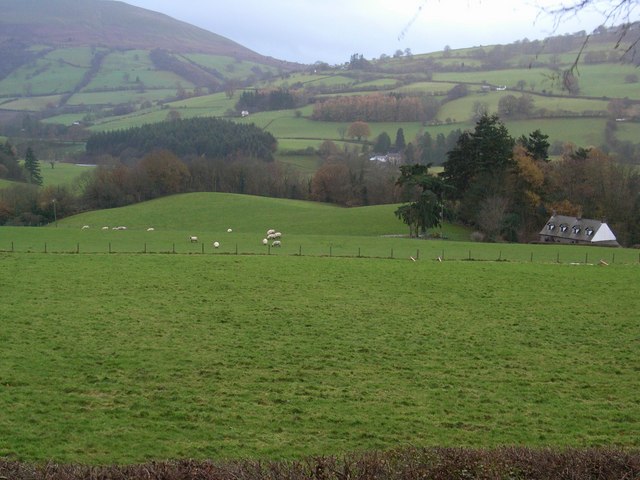
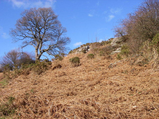
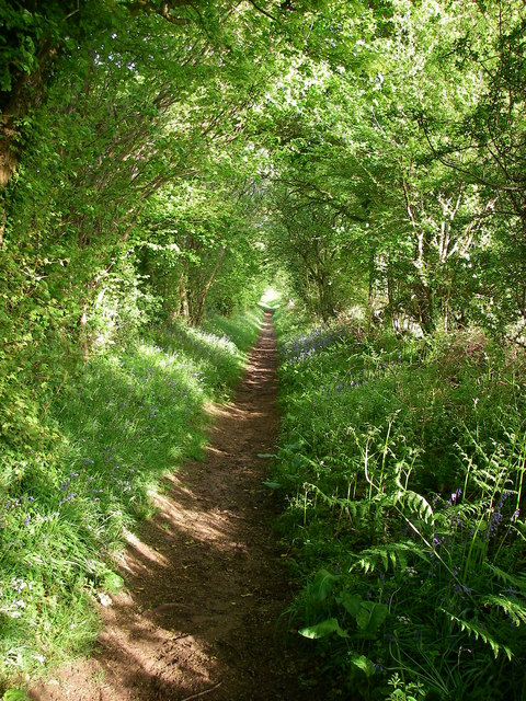
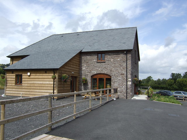
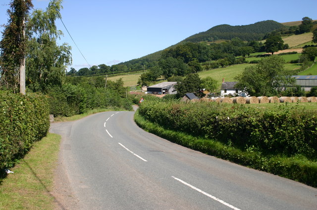
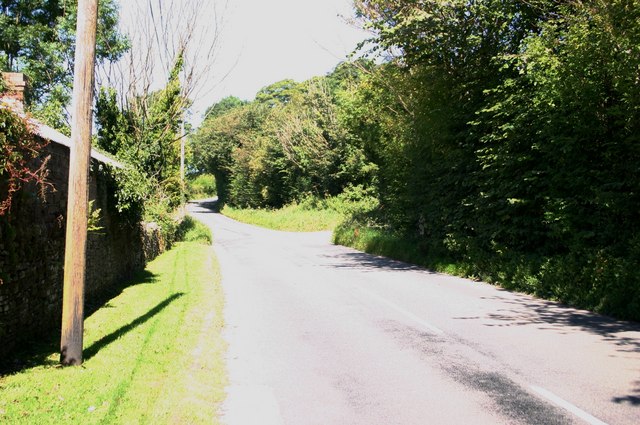
Images are sourced within 2km of 51.893/-3.243 or Grid Reference SO1422. Thanks to Geograph Open Source API. All images are credited.

A40 by Llwyfen Farm With the sunlight highlighting the slopes of Pen Allt-mawr.
A40 by Llwyfen Farm
With the sunlight highlighting the slopes of Pen Allt-mawr.
Roman road The bridleway on the left follows the route of a Roman road. To the right is the entrance and driveway to Middlewood Farm, The Welsh Venison Centre.
Roman road
The bridleway on the left follows the route of a Roman road. To the right is the entrance and driveway to Middlewood Farm, The Welsh Venison Centre.
Fields to Castle Wood
The Elms With glimpses of the Usk.
The Elms
With glimpses of the Usk.
Buckland Hill near Bwlch The A40 Brecon/Abergavenny road passes through a gap in the hills at Bwlch (Welsh = pass) where a spur of the Black Mountains/Y Mynyddoedd Duon reaches across the broad valley of the River Usk/Afon Wysg. It is probably the presence of the hard-wearing sandstones of the Brownstones Formation seen amongst the bracken in this shot which account for the presence of Buckland Hill.  It would have been over-ridden by the Usk valley glacier moving southeastwards through here during the last Ice Age.  The area is now access land.
Buckland Hill near Bwlch
The A40 Brecon/Abergavenny road passes through a gap in the hills at Bwlch (Welsh = pass) where a spur of the Black Mountains/Y Mynyddoedd Duon reaches across the broad valley of the River Usk/Afon Wysg. It is probably the presence of the hard-wearing sandstones of the Brownstones Formation seen amongst the bracken in this shot which account for the presence of Buckland Hill. It would have been over-ridden by the Usk valley glacier moving southeastwards through here during the last Ice Age. The area is now access land.
Views from Buckland Hill A line of lichen-encrusted low sandstone buttresses decorate the western edge of the hill immediately south of the village of Bwlch (Welsh = 'pass') on the A40.  Emerging from a bracken-covered slope scattered with oaks, birch and hawthorns they afford an excellent viewpoint for the distant ridges of the Black Mountains/Y Mynyddoedd Duon.  These same purple/brown rocks (the Brownstones Formation within the 'Old Red Sandstone') also form the larger part of the Brecon Beacons to the south.  The prominent spur of 'Crug Hywel' can just be seen in the distance on the right <a href="https://www.geograph.org.uk/gridref/SO2220">SO2220</a>
Views from Buckland Hill
A line of lichen-encrusted low sandstone buttresses decorate the western edge of the hill immediately south of the village of Bwlch (Welsh = 'pass') on the A40. Emerging from a bracken-covered slope scattered with oaks, birch and hawthorns they afford an excellent viewpoint for the distant ridges of the Black Mountains/Y Mynyddoedd Duon. These same purple/brown rocks (the Brownstones Formation within the 'Old Red Sandstone') also form the larger part of the Brecon Beacons to the south. The prominent spur of 'Crug Hywel' can just be seen in the distance on the right SO2220
Bridleway to Cefn Moel This public right of way runs between bracken banks across slabby Old Red Sandstone bedrock ('Senni Beds' for the initiated) to join the Beacons Way running north from Bwlch.
Bridleway to Cefn Moel
This public right of way runs between bracken banks across slabby Old Red Sandstone bedrock ('Senni Beds' for the initiated) to join the Beacons Way running north from Bwlch.
Track at Penlan This track leaves the gated minor road between Bwlch and Felindre/Cwmdu at a hairpin above the farmstead of Penlan.  The status of the track is unclear although the bracken-covered hillside to its left (west) is depicted as access land by OS.  Walkers can gain access to Cefn Moel from here though as the sign suggests, motorcyclists are bidden not to do so.
Track at Penlan
This track leaves the gated minor road between Bwlch and Felindre/Cwmdu at a hairpin above the farmstead of Penlan. The status of the track is unclear although the bracken-covered hillside to its left (west) is depicted as access land by OS. Walkers can gain access to Cefn Moel from here though as the sign suggests, motorcyclists are bidden not to do so.
Quarries at Tremynfa, Bwlch The east facing slopes of the hillside north of Bwlch hide a number of small outcrops of the Devonian age 'Senni Beds' or Old Red Sandstone which has been quarried in several places in the past for building stone.  Bracken has now claimed these slopes, designated as open country so access is available.
Quarries at Tremynfa, Bwlch
The east facing slopes of the hillside north of Bwlch hide a number of small outcrops of the Devonian age 'Senni Beds' or Old Red Sandstone which has been quarried in several places in the past for building stone. Bracken has now claimed these slopes, designated as open country so access is available.
Quarried Senni Beds sandstone at Tremynfa This close-up shot taken in the disused and overgrown quarries in the hillside north of the village of Bwlch reveals the rich colour of this stone which is widely used for building locally.
Quarried Senni Beds sandstone at Tremynfa
This close-up shot taken in the disused and overgrown quarries in the hillside north of the village of Bwlch reveals the rich colour of this stone which is widely used for building locally.
Glacial overflow channel Just west of the village of Bwlch, the modern A40 crosses this depression on a 5m high embankment.  It was at this point that glacial Llangorse Lake/Llyn Syfaddan overflowed into the Usk catchment.  It currently empties into the Wye via the Afon Llynfi but that northerly exit was blocked towards the end of the last Ice Age and the dammed waters found an outlet (at a height of 190m) to the south instead.
Glacial overflow channel
Just west of the village of Bwlch, the modern A40 crosses this depression on a 5m high embankment. It was at this point that glacial Llangorse Lake/Llyn Syfaddan overflowed into the Usk catchment. It currently empties into the Wye via the Afon Llynfi but that northerly exit was blocked towards the end of the last Ice Age and the dammed waters found an outlet (at a height of 190m) to the south instead.
Roman Road A modern-day bridleway follows the course of the former Roman Road leading down from Allt yr Esgair towards the village of Bwlch in the distance.
Roman Road
A modern-day bridleway follows the course of the former Roman Road leading down from Allt yr Esgair towards the village of Bwlch in the distance.
Roman Road The straight line of the Roman Road is followed by this green track (bridleway) heading from Allt yr Esgair towards the col at Bwlch.
Roman Road
The straight line of the Roman Road is followed by this green track (bridleway) heading from Allt yr Esgair towards the col at Bwlch.
Beacons Farm Shop, Middlewood Farm, Bwlch A purpose built outlet for fantastic locally produced meat and products.
See; <span class="nowrap"><a title="http://beaconsfarmshop.co.uk/" rel="nofollow ugc noopener" href="http://beaconsfarmshop.co.uk/">Link</a><img style="margin-left:2px;" alt="External link" title="External link - shift click to open in new window" src="https://s1.geograph.org.uk/img/external.png" width="10" height="10"/></span>
Beacons Farm Shop, Middlewood Farm, Bwlch
A purpose built outlet for fantastic locally produced meat and products. See; LinkExternal link
The B4560 approaches Nant-y-felin B4560 approaches Nant-y-felin towards Llangorse
The B4560 approaches Nant-y-felin
B4560 approaches Nant-y-felin towards Llangorse
The B4560 passes Pendre The B4560 passes Pendre towards Llangorse
The B4560 passes Pendre
The B4560 passes Pendre towards Llangorse
Glasfryn terrace Bwlch Glasfryn terrace Bwlch just off the A40.
Glasfryn terrace Bwlch
Glasfryn terrace Bwlch just off the A40.
Buckland House, early autumn morning Taken from the track below
Buckland House, early autumn morning
Taken from the track below
Show me another place!

Castell Blaenllynfi is located at Grid Ref: SO1422 (Lat: 51.893, Lng: -3.243)

Unitary Authority: Powys

Police Authority: Dyfed Powys

What 3 Words

///stag.accented.ratty. Near Llangynidr, Powys

Related Wikis

Bwlch

Bwlch (Welsh for 'a pass') is a small village and an electoral ward in the community of Cwmdu and District, Powys, south Wales. The settlement is strung...

Blaenllynfi Castle

Blaenllynfi Castle (Welsh: Castell Blaenllynfi) is a privately owned ruinous stone castle near the village of Bwlch in southern Powys, Wales. It was probably...

Llygadwy

Llygadwy is a locality near the village of Bwlch in the county of Powys in southeast Wales. The usual meaning of llygad in Welsh is 'eye' but it can signify...

Buckland Hill

Buckland Hill is a low hill in the Brecon Beacons National Park in the county of Powys in Wales. Sitting transversely across the Usk valley between the...

Nearby Amenities

Located within 500m of 51.893,-3.243
Bwlch
Ele: 220
Natural: saddle
Lat/Long: 51.8913279/-3.2402853
Bwlch
Name Cy: Bwlch
Place: village
Wikidata: Q5003693
Wikipedia: en:Bwlch
Lat/Long: 51.890219/-3.2382748
Pub
The New Inn
Wikidata: Q80858611
Lat/Long: 51.8899873/-3.2378023
Place Of Worship
Religion: christian
Lat/Long: 51.8900371/-3.2386363
Material: wood
Power: pole
Lat/Long: 51.8950786/-3.2409557
Power: pole
Lat/Long: 51.8935033/-3.2378152
Power: pole
Lat/Long: 51.8965127/-3.244909
Power: pole
Lat/Long: 51.8959652/-3.2427326
Power: pole
Lat/Long: 51.8938759/-3.2385697
Power: pole
Lat/Long: 51.8933928/-3.236692
Beacons Backpackers
Tourism: hostel
Lat/Long: 51.890127/-3.2379255
Post Office
Gate Shop
Addr City: Brecon
Addr Country: GB
Addr Place: Bwlch
Addr Postcode: LD3 7HJ
Opening Hours: Mo-Sa 09:00-12:00
Ref Pol Id: 13974
Shop: convenience
Lat/Long: 51.8926457/-3.2419315
Historic: memorial
Memorial: war_memorial
Lat/Long: 51.8926954/-3.2421491
Defibrillator
Emergency: defibrillator
Lat/Long: 51.8901371/-3.2377912
Bus Stop
Naptan AtcoCode: 5610AWE90433
Naptan NaptanCode: powamgd
Lat/Long: 51.8905357/-3.2384791
Post Box
Operator: Royal Mail
Post Box Type: wall
Ref: LD3 394D
Royal Cypher: EIIR
Royal Cypher Wikidata: Q33102113
Lat/Long: 51.8905667/-3.2385609
Bus Stop
Naptan AtcoCode: 5610AWE90432
Naptan NaptanCode: powamga
Lat/Long: 51.8903094/-3.238258
Post Box
Check Date: 2022-10-25
Collection Times: Mo-Fr 16:00; Sa 10:15
Operator: Royal Mail
Post Box Type: lamp
Ref: LD3 395
Royal Cypher: EIIR
Royal Cypher Wikidata: Q33102113
Lat/Long: 51.8925845/-3.2419451
Power: pole
Lat/Long: 51.8926429/-3.2366726
Power: pole
Lat/Long: 51.8932289/-3.2383382
Material: wood
Power: pole
Lat/Long: 51.8948278/-3.2424849
Material: wood
Power: pole
Lat/Long: 51.8952813/-3.2436866
Material: wood
Power: pole
Lat/Long: 51.8954419/-3.2452852
Power: pole
Lat/Long: 51.8956173/-3.246696
Telephone
Booth: K6
Covered: booth
Operator: BT
Phone: +44 1656 732232
Lat/Long: 51.8924534/-3.2419857
Direction: 185
Generator Method: photovoltaic
Generator Output Electricity: yes
Generator Solar Modules: 18
Generator Source: solar
Generator Type: solar_photovoltaic_panel
Location: roof
Power: generator
Lat/Long: 51.8946803/-3.2491529
Direction: 215
Generator Method: photovoltaic
Generator Output Electricity: yes
Generator Solar Modules: 12
Generator Source: solar
Generator Type: solar_photovoltaic_panel
Location: roof
Power: generator
Lat/Long: 51.8938049/-3.2441224
Direction: 125
Generator Method: photovoltaic
Generator Output Electricity: yes
Generator Solar Modules: 6
Generator Source: solar
Generator Type: solar_photovoltaic_panel
Location: roof
Power: generator
Lat/Long: 51.8938802/-3.2441814
Direction: 285
Generator Method: photovoltaic
Generator Output Electricity: yes
Generator Solar Modules: 4
Generator Source: solar
Generator Type: solar_photovoltaic_panel
Location: roof
Power: generator
Lat/Long: 51.8938992/-3.2422623
Direction: 285
Generator Method: photovoltaic
Generator Output Electricity: yes
Generator Solar Modules: 4
Generator Source: solar
Generator Type: solar_photovoltaic_panel
Location: roof
Power: generator
Lat/Long: 51.8939539/-3.2422355
Direction: SE
Generator Method: photovoltaic
Generator Output Electricity: yes
Generator Solar Modules: 4
Generator Source: solar
Generator Type: solar_photovoltaic_panel
Location: roof
Power: generator
Lat/Long: 51.8940888/-3.2421322
Direction: SE
Generator Method: photovoltaic
Generator Output Electricity: yes
Generator Solar Modules: 4
Generator Source: solar
Generator Type: solar_photovoltaic_panel
Location: roof
Power: generator
Lat/Long: 51.8941475/-3.2420531
Direction: 285
Generator Method: photovoltaic
Generator Output Electricity: yes
Generator Solar Modules: 4
Generator Source: solar
Generator Type: solar_photovoltaic_panel
Location: roof
Power: generator
Lat/Long: 51.8940308/-3.2416253
Direction: 195
Generator Method: photovoltaic
Generator Output Electricity: yes
Generator Solar Modules: 4
Generator Source: solar
Generator Type: solar_photovoltaic_panel
Location: roof
Power: generator
Lat/Long: 51.8940962/-3.2417768
Direction: 195
Generator Method: photovoltaic
Generator Output Electricity: yes
Generator Solar Modules: 4
Generator Source: solar
Generator Type: solar_photovoltaic_panel
Location: roof
Power: generator
Lat/Long: 51.8941111/-3.2418707
Direction: 285
Generator Method: photovoltaic
Generator Output Electricity: yes
Generator Solar Modules: 4
Generator Source: solar
Generator Type: solar_photovoltaic_panel
Location: roof
Power: generator
Lat/Long: 51.8937933/-3.2417339
Direction: SSW
Generator Method: photovoltaic
Generator Output Electricity: yes
Generator Solar Modules: 16
Generator Source: solar
Generator Type: solar_photovoltaic_panel
Location: roof
Power: generator
Lat/Long: 51.8929524/-3.242088
Direction: 125
Generator Method: photovoltaic
Generator Output Electricity: yes
Generator Solar Modules: 14
Generator Source: solar
Generator Type: solar_photovoltaic_panel
Location: roof
Power: generator
Lat/Long: 51.892527/-3.241632
Direction: 215
Generator Method: photovoltaic
Generator Output Electricity: yes
Generator Solar Modules: 10
Generator Source: solar
Generator Type: solar_photovoltaic_panel
Location: roof
Power: generator
Lat/Long: 51.8910827/-3.2395171
Direction: SSW
Generator Method: photovoltaic
Generator Output Electricity: yes
Generator Solar Modules: 23
Generator Source: solar
Generator Type: solar_photovoltaic_panel
Location: roof
Power: generator
Lat/Long: 51.8901516/-3.2373619
Direction: S
Generator Method: photovoltaic
Generator Output Electricity: yes
Generator Solar Modules: 16
Generator Source: solar
Generator Type: solar_photovoltaic_panel
Location: roof
Power: generator
Lat/Long: 51.8907612/-3.2377072
Direction: E
Generator Method: photovoltaic
Generator Output Electricity: yes
Generator Solar Modules: 8
Generator Source: solar
Generator Type: solar_photovoltaic_panel
Location: roof
Power: generator
Lat/Long: 51.8907864/-3.2378092
Direction: 305
Generator Method: photovoltaic
Generator Output Electricity: yes
Generator Solar Modules: 6
Generator Source: solar
Generator Type: solar_photovoltaic_panel
Location: roof
Power: generator
Lat/Long: 51.8938953/-3.2442146
Natural: spring
Lat/Long: 51.8937036/-3.2478411
Natural: spring
Lat/Long: 51.89107/-3.2460779
Gas: post
Lat/Long: 51.8902355/-3.2411077
Gas: post
Lat/Long: 51.8902165/-3.2410144
Buckland Hill (Talybont Forest)
Board Type: welcome_sign
Direction: 30
Information: board
Operator: Natural Resources Wales
Tourism: information
Lat/Long: 51.8897402/-3.2416883
The data included in this document is from www.openstreetmap.org. The data is made available under ODbL.

Have you been to Castell Blaenllynfi?

Leave your review of Castell Blaenllynfi below (or comments, questions and feedback).