Llanfellte

Settlement in Brecknockshire

Wales

Llanfellte

Monmouthshire and Brecon Canal, Ashford Tunnel You have to check before entering, that there is no-one else in there!
Monmouthshire and Brecon Canal, Ashford Tunnel Credit: Pip Rolls

The requested URL returned error: 429 Too Many Requests

If you have any feedback on the listing, please let us know in the comments section below.
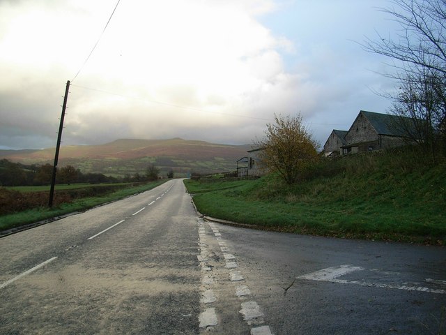
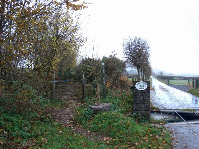
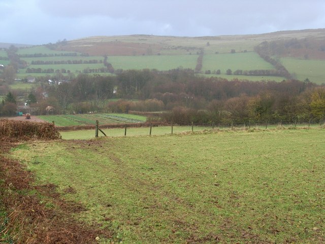
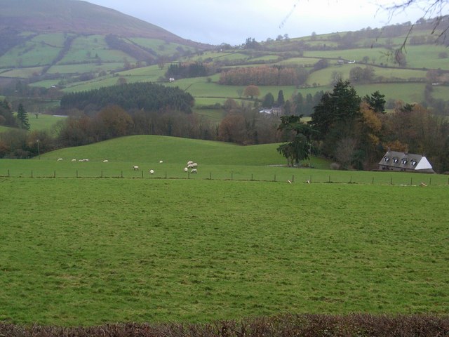
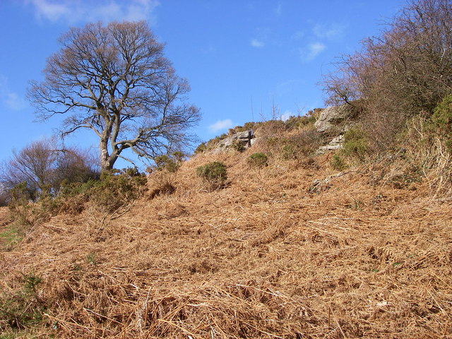
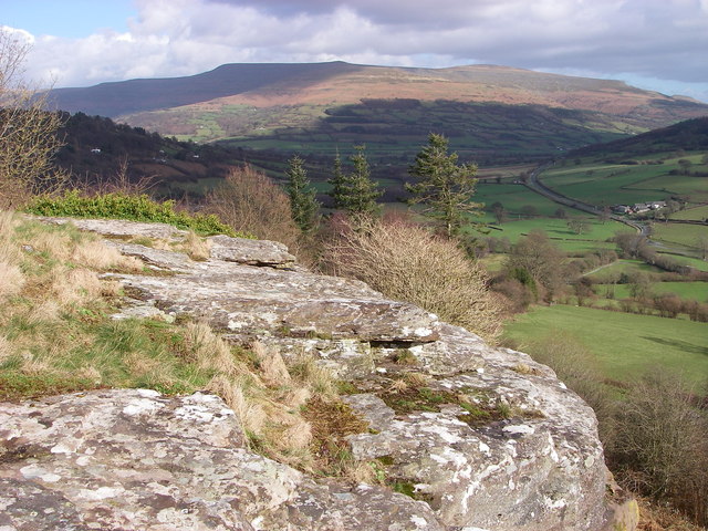
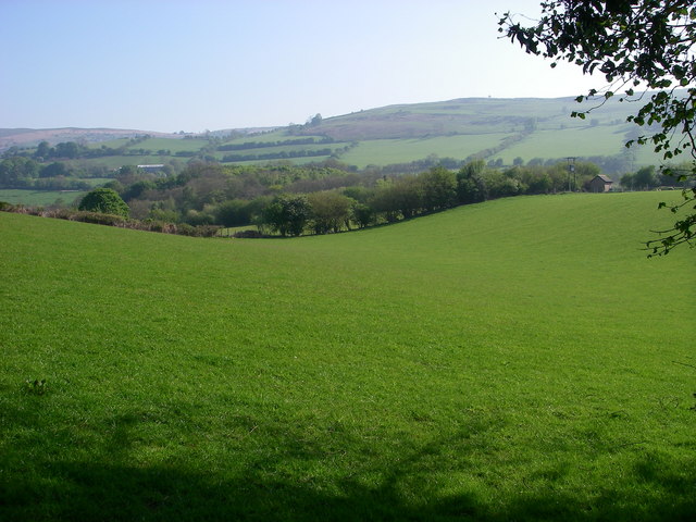
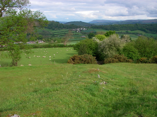
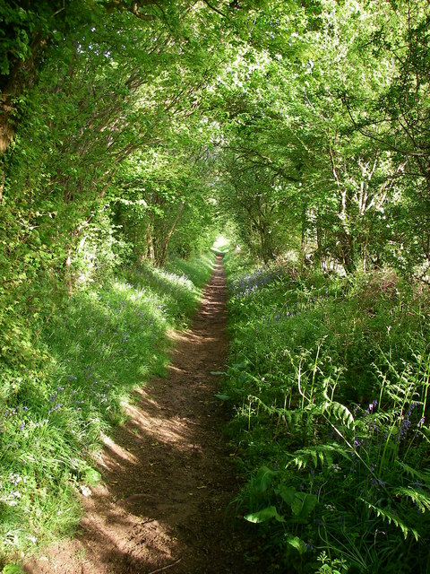
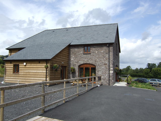
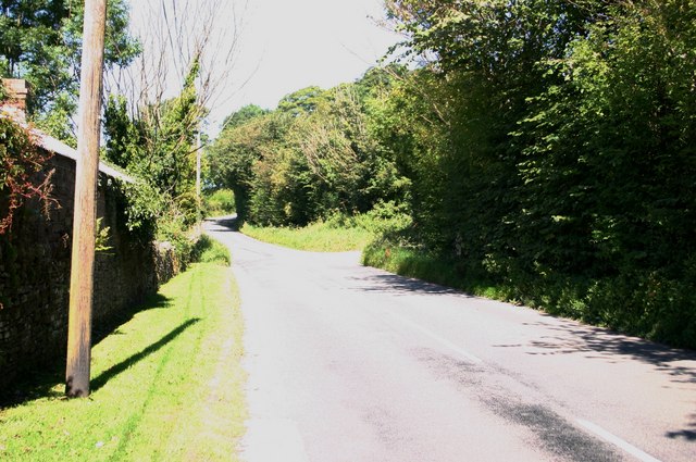
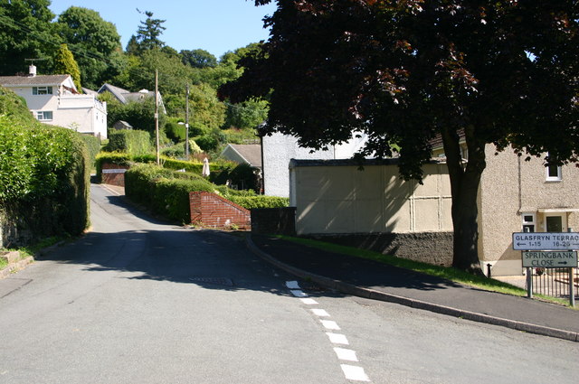
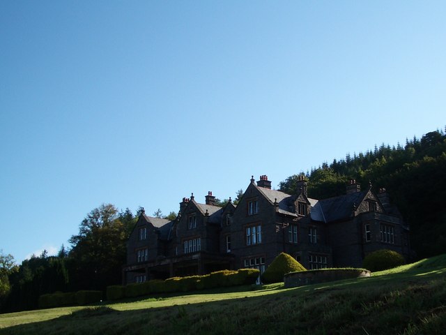
Llanfellte Images

Images are sourced within 2km of 51.889895/-3.2510509 or Grid Reference SO1422. Thanks to Geograph Open Source API. All images are credited.

Monmouthshire and Brecon Canal, Ashford Tunnel You have to check before entering, that there is no-one else in there!
Monmouthshire and Brecon Canal, Ashford Tunnel
You have to check before entering, that there is no-one else in there!
A40 by Llwyfen Farm With the sunlight highlighting the slopes of Pen Allt-mawr.
A40 by Llwyfen Farm
With the sunlight highlighting the slopes of Pen Allt-mawr.
Roman road The bridleway on the left follows the route of a Roman road. To the right is the entrance and driveway to Middlewood Farm, The Welsh Venison Centre.
Roman road
The bridleway on the left follows the route of a Roman road. To the right is the entrance and driveway to Middlewood Farm, The Welsh Venison Centre.
Fields to Castle Wood
The Elms With glimpses of the Usk.
The Elms
With glimpses of the Usk.
Cil-wich-fawr Farm With Tor y Foel beyond.
Cil-wich-fawr Farm
With Tor y Foel beyond.
Buckland Hill near Bwlch The A40 Brecon/Abergavenny road passes through a gap in the hills at Bwlch (Welsh = pass) where a spur of the Black Mountains/Y Mynyddoedd Duon reaches across the broad valley of the River Usk/Afon Wysg. It is probably the presence of the hard-wearing sandstones of the Brownstones Formation seen amongst the bracken in this shot which account for the presence of Buckland Hill.  It would have been over-ridden by the Usk valley glacier moving southeastwards through here during the last Ice Age.  The area is now access land.
Buckland Hill near Bwlch
The A40 Brecon/Abergavenny road passes through a gap in the hills at Bwlch (Welsh = pass) where a spur of the Black Mountains/Y Mynyddoedd Duon reaches across the broad valley of the River Usk/Afon Wysg. It is probably the presence of the hard-wearing sandstones of the Brownstones Formation seen amongst the bracken in this shot which account for the presence of Buckland Hill. It would have been over-ridden by the Usk valley glacier moving southeastwards through here during the last Ice Age. The area is now access land.
Views from Buckland Hill A line of lichen-encrusted low sandstone buttresses decorate the western edge of the hill immediately south of the village of Bwlch (Welsh = 'pass') on the A40.  Emerging from a bracken-covered slope scattered with oaks, birch and hawthorns they afford an excellent viewpoint for the distant ridges of the Black Mountains/Y Mynyddoedd Duon.  These same purple/brown rocks (the Brownstones Formation within the 'Old Red Sandstone') also form the larger part of the Brecon Beacons to the south.  The prominent spur of 'Crug Hywel' can just be seen in the distance on the right <a href="https://www.geograph.org.uk/gridref/SO2220">SO2220</a>
Views from Buckland Hill
A line of lichen-encrusted low sandstone buttresses decorate the western edge of the hill immediately south of the village of Bwlch (Welsh = 'pass') on the A40. Emerging from a bracken-covered slope scattered with oaks, birch and hawthorns they afford an excellent viewpoint for the distant ridges of the Black Mountains/Y Mynyddoedd Duon. These same purple/brown rocks (the Brownstones Formation within the 'Old Red Sandstone') also form the larger part of the Brecon Beacons to the south. The prominent spur of 'Crug Hywel' can just be seen in the distance on the right SO2220
Ashford Tunnel A view along the side of the B4558 as the Monmouthshire & Brecon Canal disappears into the north entrance of the Ashford Tunnel.  Light can just be glimpsed at the other end!
Ashford Tunnel
A view along the side of the B4558 as the Monmouthshire & Brecon Canal disappears into the north entrance of the Ashford Tunnel. Light can just be glimpsed at the other end!
Glacial overflow channel Just west of the village of Bwlch, the modern A40 crosses this depression on a 5m high embankment.  It was at this point that glacial Llangorse Lake/Llyn Syfaddan overflowed into the Usk catchment.  It currently empties into the Wye via the Afon Llynfi but that northerly exit was blocked towards the end of the last Ice Age and the dammed waters found an outlet (at a height of 190m) to the south instead.
Glacial overflow channel
Just west of the village of Bwlch, the modern A40 crosses this depression on a 5m high embankment. It was at this point that glacial Llangorse Lake/Llyn Syfaddan overflowed into the Usk catchment. It currently empties into the Wye via the Afon Llynfi but that northerly exit was blocked towards the end of the last Ice Age and the dammed waters found an outlet (at a height of 190m) to the south instead.
Roman Road A modern-day bridleway follows the course of the former Roman Road leading down from Allt yr Esgair towards the village of Bwlch in the distance.
Roman Road
A modern-day bridleway follows the course of the former Roman Road leading down from Allt yr Esgair towards the village of Bwlch in the distance.
Roman Road The straight line of the Roman Road is followed by this green track (bridleway) heading from Allt yr Esgair towards the col at Bwlch.
Roman Road
The straight line of the Roman Road is followed by this green track (bridleway) heading from Allt yr Esgair towards the col at Bwlch.
Mill Falls Kayaking Mill Falls with the river Usk at a high level. Normally this is a series of small ledges and rocks, but with the river this high it becomes a continuous fast, steep rapid.
Mill Falls
Kayaking Mill Falls with the river Usk at a high level. Normally this is a series of small ledges and rocks, but with the river this high it becomes a continuous fast, steep rapid.
Beacons Farm Shop, Middlewood Farm, Bwlch A purpose built outlet for fantastic locally produced meat and products.
See; <span class="nowrap"><a title="http://beaconsfarmshop.co.uk/" rel="nofollow ugc noopener" href="http://beaconsfarmshop.co.uk/">Link</a><img style="margin-left:2px;" alt="External link" title="External link - shift click to open in new window" src="https://s1.geograph.org.uk/img/external.png" width="10" height="10"/></span>
Beacons Farm Shop, Middlewood Farm, Bwlch
A purpose built outlet for fantastic locally produced meat and products. See; LinkExternal link
The B4560 passes Pendre The B4560 passes Pendre towards Llangorse
The B4560 passes Pendre
The B4560 passes Pendre towards Llangorse
Glasfryn terrace Bwlch Glasfryn terrace Bwlch just off the A40.
Glasfryn terrace Bwlch
Glasfryn terrace Bwlch just off the A40.
Buckland House, early autumn morning Taken from the track below
Buckland House, early autumn morning
Taken from the track below
The 'Tee-Pee' Tree, Buckland Hall, nr. Bwlch A fine old Western Red Cedar, Thuja plicata.  At sometime in its early history, some of its lower whorl of branches must have rooted, and maybe some had to stretch out for light.
The 'Tee-Pee' Tree, Buckland Hall, nr. Bwlch
A fine old Western Red Cedar, Thuja plicata. At sometime in its early history, some of its lower whorl of branches must have rooted, and maybe some had to stretch out for light.
Show me another place!

Llanfellte is located at Grid Ref: SO1422 (Lat: 51.889895, Lng: -3.2510509)

Unitary Authority: Powys

Police Authority: Dyfed Powys

What 3 Words

///ooze.cured.luxury. Near Llangynidr, Powys

Related Wikis

Buckland Hill

Buckland Hill is a low hill in the Brecon Beacons National Park in the county of Powys in Wales. Sitting transversely across the Usk valley between the...

Buckland Coach House & Ice House

Buckland Coach House & Ice House is a Site of Special Scientific Interest in Brecknock, Powys, Wales. These are part of the grounds of Buckland House and...

Bwlch

Bwlch (Welsh for 'a pass') is a small village and an electoral ward in the community of Cwmdu and District, Powys, south Wales. The settlement is strung...

Blaenllynfi Castle

Blaenllynfi Castle (Welsh: Castell Blaenllynfi) is a privately owned ruinous stone castle near the village of Bwlch in southern Powys, Wales. It was probably...

Nearby Amenities

Located within 500m of 51.889895,-3.2510509
Direction: SSW
Generator Method: photovoltaic
Generator Output Electricity: yes
Generator Solar Modules: 16
Generator Source: solar
Generator Type: solar_photovoltaic_panel
Location: roof
Power: generator
Lat/Long: 51.8902369/-3.2496263
Natural: spring
Lat/Long: 51.8937036/-3.2478411
Natural: spring
Lat/Long: 51.89107/-3.2460779
The data included in this document is from www.openstreetmap.org. The data is made available under ODbL.

Have you been to Llanfellte?

Leave your review of Llanfellte below (or comments, questions and feedback).