Careg Fawr
Heritage Site in Carmarthenshire
Wales
Careg Fawr
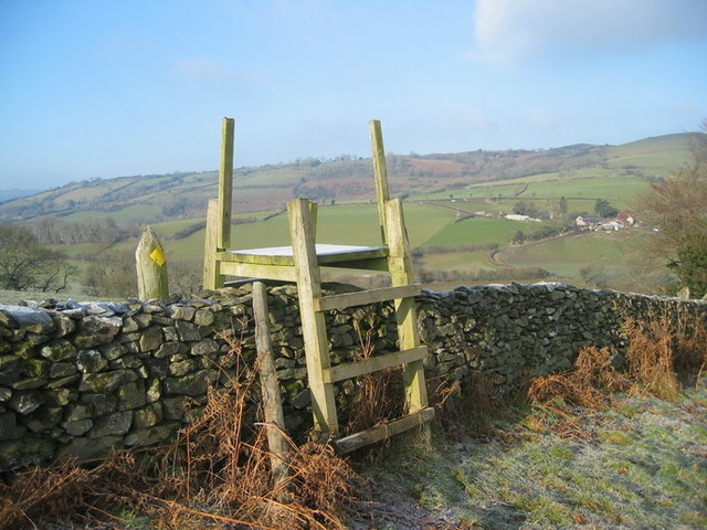
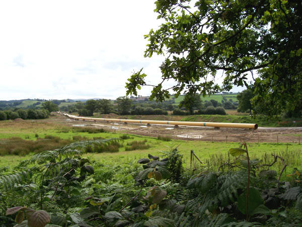
Careg Fawr, located in Carmarthenshire, Wales, is a renowned heritage site of historical importance. The site is nestled in the picturesque countryside, surrounded by lush greenery and rolling hills, providing a serene and tranquil atmosphere for visitors.
The main feature of Careg Fawr is the Iron Age hillfort, believed to have been constructed around 600 BC. The hillfort consists of multiple circular earthworks and ditches, forming an impressive defensive structure. The site covers an area of approximately 3 hectares, and its strategic location offers breathtaking panoramic views of the surrounding landscape.
Archaeological excavations have revealed several fascinating artifacts and evidence of human occupation at Careg Fawr. These findings include pottery fragments, stone tools, and animal bones, shedding light on the daily lives and activities of the people who once inhabited the hillfort.
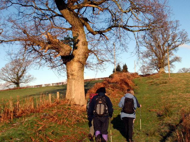
Visitors can explore the site through well-marked footpaths, allowing them to navigate the various earthworks and gain a deeper understanding of the structure's design and purpose. Interpretive signage is placed strategically throughout the site, providing historical context and information to enhance the visitor experience.
Careg Fawr is not only a significant archaeological site but also a haven for nature enthusiasts. The surrounding landscape is home to diverse flora and fauna, making it an ideal spot for birdwatching and nature walks.
Overall, Careg Fawr is a captivating heritage site that offers a unique glimpse into Wales' ancient history. Its combination of historical significance and natural beauty makes it a must-visit destination for history buffs, archaeology enthusiasts, and nature lovers alike.
If you have any feedback on the listing, please let us know in the comments section below.
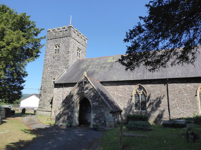
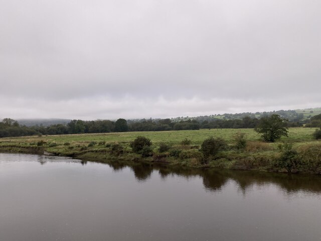
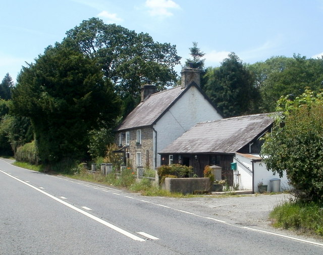
Careg Fawr Images
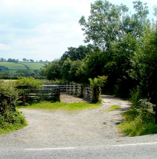
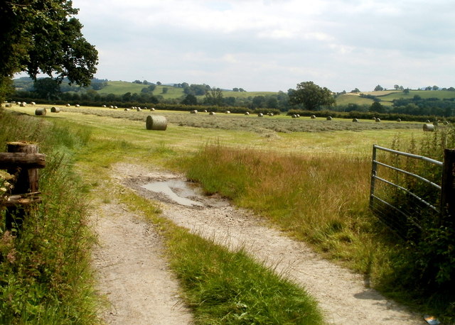
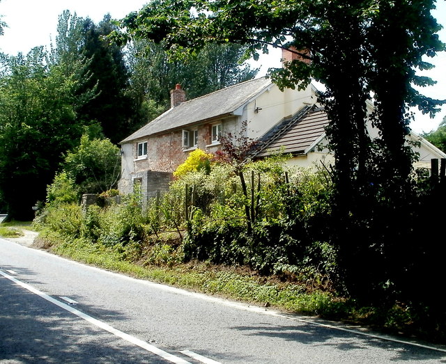
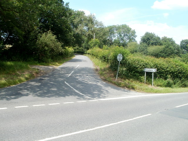
Images are sourced within 2km of 51.948/-3.898 or Grid Reference SN6929. Thanks to Geograph Open Source API. All images are credited.


Careg Fawr is located at Grid Ref: SN6929 (Lat: 51.948, Lng: -3.898)
Unitary Authority: Carmarthenshire
Police Authority: Dyfed Powys
What 3 Words
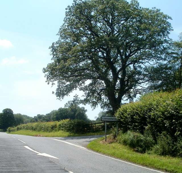
///necklaces.hits.fondest. Near Llansadwrn, Carmarthenshire
Nearby Locations
Related Wikis

Llansadwrn
Llansadwrn (; Welsh: [ɬanˈsadʊn]; ) is a small village and community in Carmarthenshire, Wales. It is located in the countryside above the valley of the...

Llangadog railway station
Llangadog railway station serves the village of Llangadog near Llandeilo, Carmarthenshire. The station is on the Heart of Wales Line 36+1⁄2 miles (59 km...
Llangadog
Llangadog () is a village and community in Carmarthenshire, Wales, which also includes the villages of Bethlehem and Capel Gwynfe. A notable local landscape...

River Sawdde
The Afon Sawdde is a river in the county of Carmarthenshire, Wales. For most of its course it flows through the Brecon Beacons National Park and Fforest...

Llanwrda railway station
Llanwrda railway station serves the village of Llanwrda near Llandovery, Carmarthenshire. Opened by the Vale of Towy Railway in 1858, the station is on...

Glanrhyd Bridge collapse
On 19 October 1987, a train on the Heart of Wales line derailed and fell into the River Towy due to the partial collapse of the Glanrhyd Bridge near Llandeilo...

Llanwrda
Llanwrda ([ɬanʊrˈda] ) is a village and community in Carmarthenshire, Wales, 4 miles (6.4 km) southwest of Llandovery. It lies on the River Towy. The population...

Glanrhyd Halt railway station
Glanrhyd railway station served the town of Llandeilo, Carmarthenshire, Wales, from 1858 to 1955 on the Vale of Towy Railway. == History == The station...
Nearby Amenities
Located within 500m of 51.948,-3.898Have you been to Careg Fawr?
Leave your review of Careg Fawr below (or comments, questions and feedback).