Coed Caeaugwynion

Wood, Forest in Carmarthenshire

Wales

Coed Caeaugwynion

Afon Tywi near Llangadog
Afon Tywi near Llangadog Credit: Alan Hughes

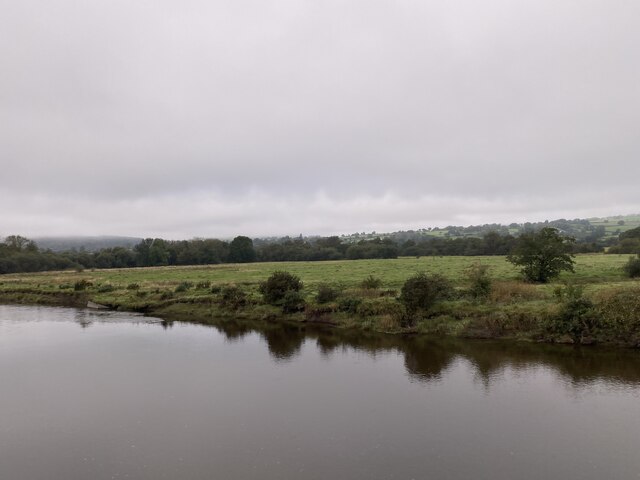
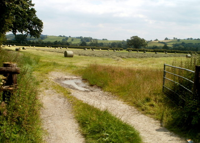
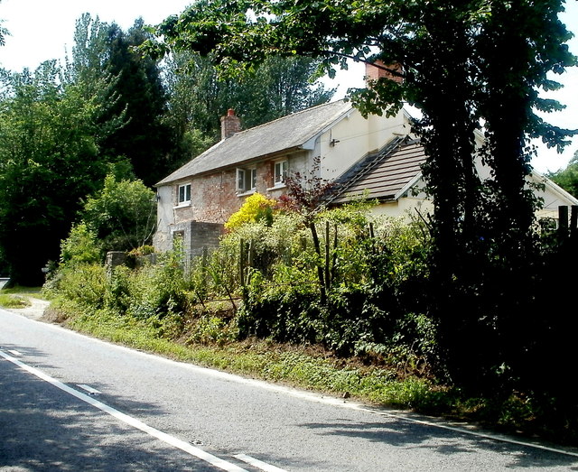
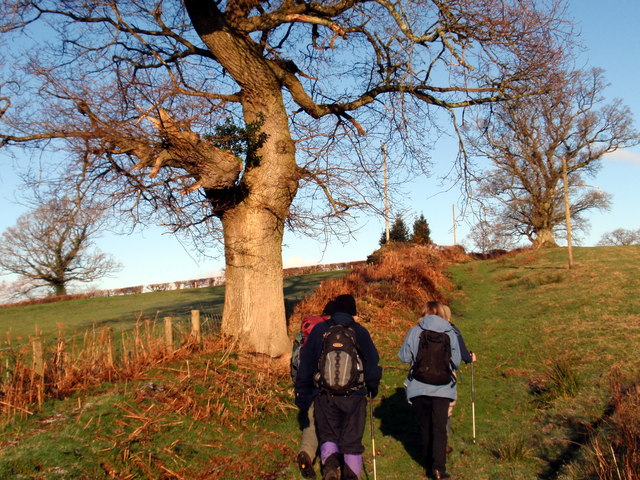
Coed Caeaugwynion, located in Carmarthenshire, is a serene woodland area encompassing approximately 50 acres. This picturesque forest, also known as Caeaugwynion Wood, is nestled within the beautiful countryside of Wales. It is situated near the village of Ffairfach, just a short distance from the market town of Llandeilo.

The wood is predominantly composed of native tree species, such as oak, birch, and beech, providing a diverse and vibrant ecosystem. The lush undergrowth is adorned with an array of colorful wildflowers during the spring and summer months. The forest floor is carpeted with moss, ferns, and bracken, adding to the enchanting atmosphere.

Coed Caeaugwynion is home to a variety of wildlife, including birds, mammals, and insects. It offers a tranquil setting for birdwatching, with species such as woodpeckers, tits, and thrushes frequenting the area. Squirrels can be spotted scurrying amongst the treetops, while badgers, foxes, and rabbits make their homes in the undergrowth.

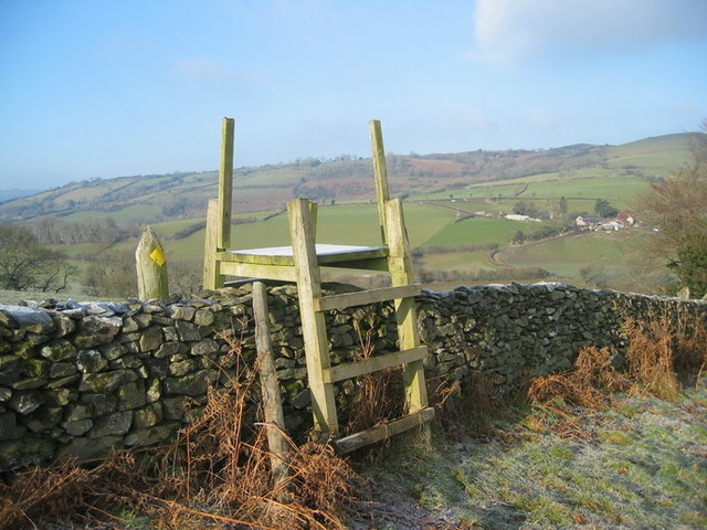
The forest is a popular destination for nature enthusiasts, hikers, and photographers. It offers a network of well-maintained trails, allowing visitors to explore the woodland at their own pace. The peaceful ambiance and stunning scenery make it an ideal location for those seeking a retreat from the hustle and bustle of everyday life.

Coed Caeaugwynion is a true gem within the Carmarthenshire landscape, providing a haven for both wildlife and humans alike. Its natural beauty and ecological significance make it a cherished woodland in the heart of Wales.

If you have any feedback on the listing, please let us know in the comments section below.

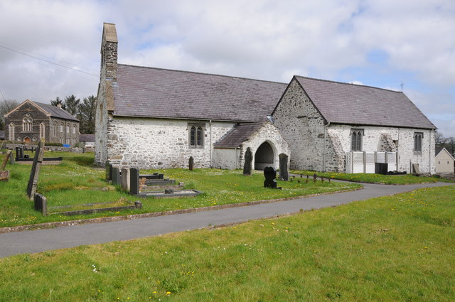
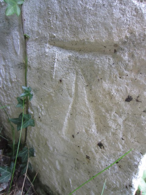
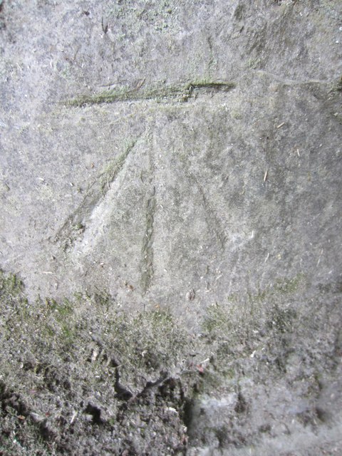
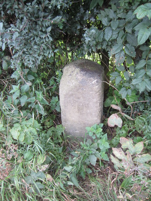
Coed Caeaugwynion Images

Images are sourced within 2km of 51.9516/-3.905094 or Grid Reference SN6929. Thanks to Geograph Open Source API. All images are credited.

Afon Tywi near Llangadog
Garden Centre Cafe Adjacent to Llangadog Station.
Garden Centre Cafe
Adjacent to Llangadog Station.
Sticil ysgol Llansadwrn / Llansadwrn ladder tile Sticil ysgol yn croesi wal gerrig sych ger Llansadwrn

A ladder stile crossing a drystone wall near Llansadwrn
Sticil ysgol Llansadwrn / Llansadwrn ladder tile
Sticil ysgol yn croesi wal gerrig sych ger Llansadwrn A ladder stile crossing a drystone wall near Llansadwrn
Little England in Carmarthenshire Deep in rural Wales, this is Lloegr-fach, literally Little England.
Viewed across the A40 SW of Llanwrda.
Little England in Carmarthenshire
Deep in rural Wales, this is Lloegr-fach, literally Little England. Viewed across the A40 SW of Llanwrda.
Livestock pens near Llansadwrn The pens are alongside the A40 near Lloegr-fach. <a title="https://www.geograph.org.uk/photo/3220493" href="https://www.geograph.org.uk/photo/3220493">Link</a>
Livestock pens near Llansadwrn
The pens are alongside the A40 near Lloegr-fach. Link
Early July in rural Carmarthenshire A view of a field adjacent to pens <a title="https://www.geograph.org.uk/photo/3220699" href="https://www.geograph.org.uk/photo/3220699">Link</a> at the edge of the A40.
Early July in rural Carmarthenshire
A view of a field adjacent to pens Link at the edge of the A40.
Bryncoch near Llansadwrn Viewed from the A40 near Lloegr-fach. <a title="https://www.geograph.org.uk/photo/3220493" href="https://www.geograph.org.uk/photo/3220493">Link</a>
Bryncoch near Llansadwrn
Viewed from the A40 near Lloegr-fach. Link
Road to Llansadwrn Viewed from the A40. The sign shows 1 mile to Llansadwrn. <a href="https://www.geograph.org.uk/gridref/SN6931">SN6931</a>
Road to Llansadwrn
Viewed from the A40. The sign shows 1 mile to Llansadwrn. SN6931
Tree at a right turn for Llansadwrn Viewed across the A40 in rural Carmarthenshire SW of Llanwrda.
A sign points right to a minor road to Llansadwrn (1 mile).
Tree at a right turn for Llansadwrn
Viewed across the A40 in rural Carmarthenshire SW of Llanwrda. A sign points right to a minor road to Llansadwrn (1 mile).
Llansadwrn  church Llansawrn church is dedicated to St Sadwrn.  In the background to the left is what appears to be a Methodist church.
Llansadwrn church
Llansawrn church is dedicated to St Sadwrn. In the background to the left is what appears to be a Methodist church.
Interior of Llansadwrn church View along the nave of St Sadwrn church, Llansadwrn.
Interior of Llansadwrn church
View along the nave of St Sadwrn church, Llansadwrn.
Bridge over Afon Marlais Bridge over Afon Marlais to the west of Llansadwrn.
Bridge over Afon Marlais
Bridge over Afon Marlais to the west of Llansadwrn.
Ordnance Survey Cut Mark This OS cut mark can be found on the roadside building at Lletty'ywen. It marks a point 66.968m above mean sea level.
Ordnance Survey Cut Mark
This OS cut mark can be found on the roadside building at Lletty'ywen. It marks a point 66.968m above mean sea level.
Ordnance Survey Cut Mark This OS cut mark can be found on the gateside wall to Brynheulog. It marks a point 76.411m above mean sea level.
Ordnance Survey Cut Mark
This OS cut mark can be found on the gateside wall to Brynheulog. It marks a point 76.411m above mean sea level.
Mile Stone Mile Stone near Brownhill Farm.
Mile Stone
Mile Stone near Brownhill Farm.
Ger  Llwyn y Bwch / Near Llwyn y Bwch Cerddwyr yn croesi pontdroed sy'n rhychwantu Afon Marlais ger Ffarm Llwyn y Bwch. .

Walkers crossing a footbridge spanning the Marlais River near Llwyn y Bwch Farm (trans. buck grove).
Ger Llwyn y Bwch / Near Llwyn y Bwch
Cerddwyr yn croesi pontdroed sy'n rhychwantu Afon Marlais ger Ffarm Llwyn y Bwch. . Walkers crossing a footbridge spanning the Marlais River near Llwyn y Bwch Farm (trans. buck grove).
Tuag at Lansadwrn / Towards Llansadwrn Cerddwyr yn cyrraedd pentref Llansadwrn.

Walkers arriving at Llansadwrn (trans. St Sadwrn's Church) village.
Tuag at Lansadwrn / Towards Llansadwrn
Cerddwyr yn cyrraedd pentref Llansadwrn. Walkers arriving at Llansadwrn (trans. St Sadwrn's Church) village.
Llwybr Caeau Gwynion / Caeau Gwynion path Cerddwyr yn dilyn llwybr cyhoeddus uwchben Ffarm Caeau Gwynion.

Walkers following a public footpath above Caeau Gwynion Farm (trans. fairfields)
Llwybr Caeau Gwynion / Caeau Gwynion path
Cerddwyr yn dilyn llwybr cyhoeddus uwchben Ffarm Caeau Gwynion. Walkers following a public footpath above Caeau Gwynion Farm (trans. fairfields)
Show me another place!

Coed Caeaugwynion is located at Grid Ref: SN6929 (Lat: 51.9516, Lng: -3.905094)

Unitary Authority: Carmarthenshire

Police Authority: Dyfed Powys

What 3 Words

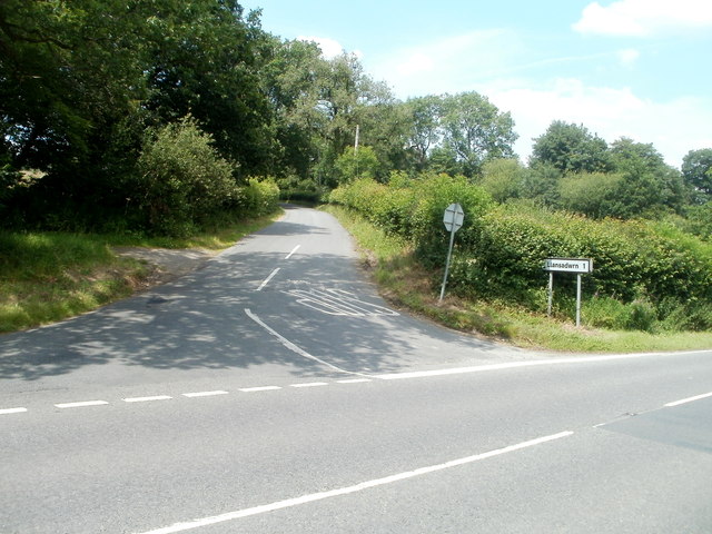
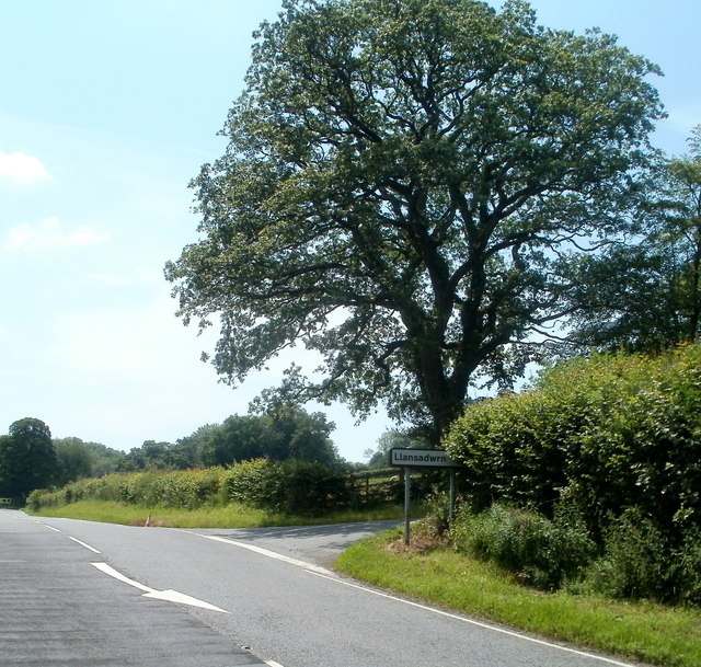
///solid.loudness.workshop. Near Llansadwrn, Carmarthenshire

Related Wikis

Llansadwrn

Llansadwrn (; Welsh: [ɬanˈsadʊn]; ) is a small village and community in Carmarthenshire, Wales. It is located in the countryside above the valley of the...

Llangadog railway station

Llangadog railway station serves the village of Llangadog near Llandeilo, Carmarthenshire. The station is on the Heart of Wales Line 36+1⁄2 miles (59 km...

River Sawdde

The Afon Sawdde is a river in the county of Carmarthenshire, Wales. For most of its course it flows through the Brecon Beacons National Park and Fforest...

Llangadog

Llangadog () is a village and community in Carmarthenshire, Wales, which also includes the villages of Bethlehem and Capel Gwynfe. A notable local landscape...

Llanwrda railway station

Llanwrda railway station serves the village of Llanwrda near Llandovery, Carmarthenshire. Opened by the Vale of Towy Railway in 1858, the station is on...

Llanwrda

Llanwrda ([ɬanʊrˈda] ) is a village and community in Carmarthenshire, Wales, 4 miles (6.4 km) southwest of Llandovery. It lies on the River Towy. The population...

Glanrhyd Bridge collapse

On 19 October 1987, a train on the Heart of Wales line derailed and fell into the River Towy due to the partial collapse of the Glanrhyd Bridge near Llandeilo...

Glanrhyd Halt railway station

Glanrhyd railway station served the town of Llandeilo, Carmarthenshire, Wales, from 1858 to 1955 on the Vale of Towy Railway. == History == The station...

Nearby Amenities

Located within 500m of 51.9516,-3.905094
Direction: 175
Generator Method: photovoltaic
Generator Output Electricity: yes
Generator Solar Modules: 16
Generator Source: solar
Generator Type: solar_photovoltaic_panel
Location: roof
Power: generator
Lat/Long: 51.9480353/-3.9062579
The data included in this document is from www.openstreetmap.org. The data is made available under ODbL.

Have you been to Coed Caeaugwynion?

Leave your review of Coed Caeaugwynion below (or comments, questions and feedback).