Cardross
Heritage Site in Perthshire
Scotland
Cardross
Cardross is a small village located in the county of Perthshire, Scotland. Renowned for its rich heritage and historical significance, Cardross attracts visitors from near and far. Nestled amidst picturesque landscapes, the village offers a glimpse into Scotland's past, making it a popular destination for history enthusiasts.
One of the most prominent features of Cardross is its well-preserved medieval castle ruins. Dating back to the 14th century, the castle stands as a testament to the region's medieval history. Visitors can explore the remains of the castle, including the impressive tower, which offers panoramic views of the surrounding countryside.
Another notable attraction in Cardross is the ancient burial ground, which features intricately designed gravestones and monuments. This site provides insights into the lives of the village's past residents and offers a serene and reflective space for visitors.
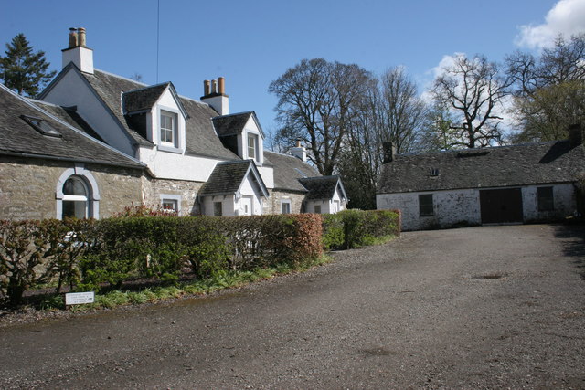
Cardross also boasts a number of well-preserved traditional Scottish cottages. These charming dwellings showcase the village's architectural heritage, with their stone walls, thatched roofs, and quaint gardens. Strolling through the village's cobbled streets, one can't help but be transported back in time.
For those looking to delve deeper into the history of Cardross, the local heritage center provides a wealth of information about the village and its surrounding areas. Exhibits feature artifacts, photographs, and interactive displays, allowing visitors to engage with the village's past.
With its captivating history, stunning scenery, and warm hospitality, Cardross offers a unique and memorable experience for all who visit. Whether exploring the castle ruins, admiring the ancient gravestones, or simply soaking in the village's atmosphere, Cardross is a must-visit destination for history buffs and nature lovers alike.
If you have any feedback on the listing, please let us know in the comments section below.
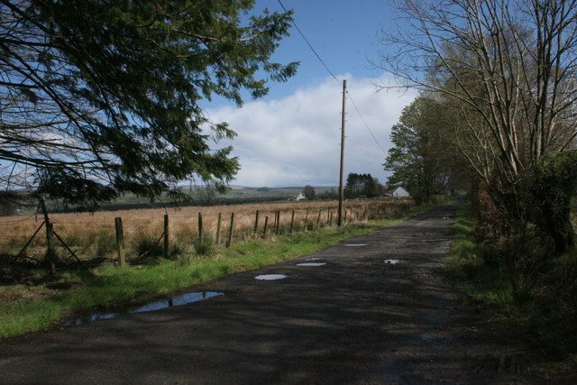
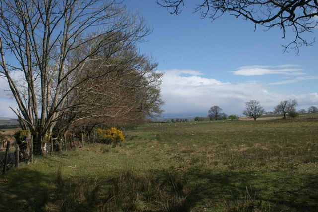
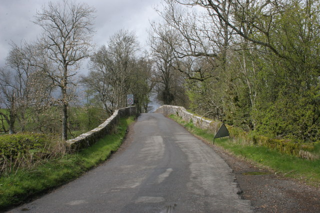
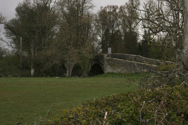
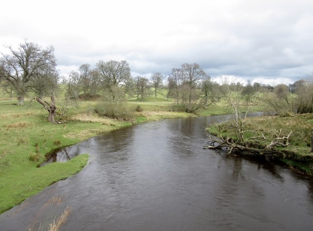
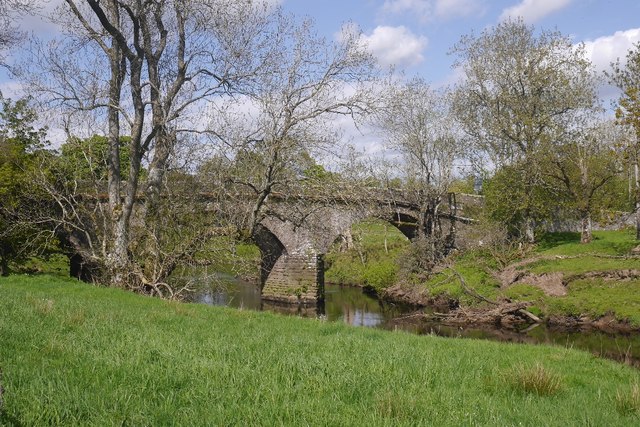
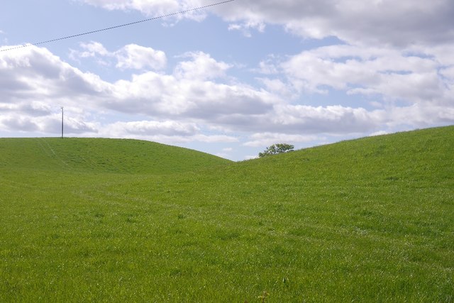
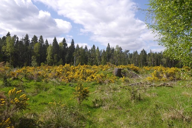
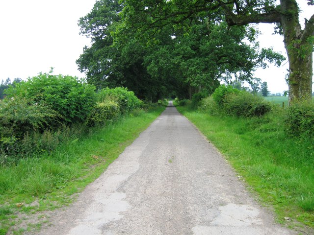
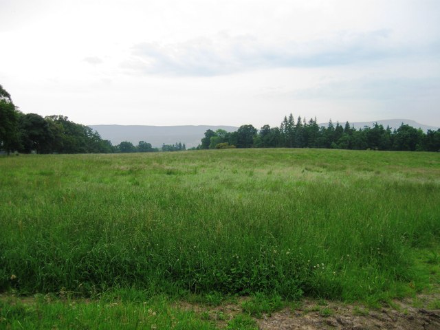
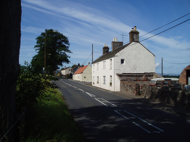
Cardross Images
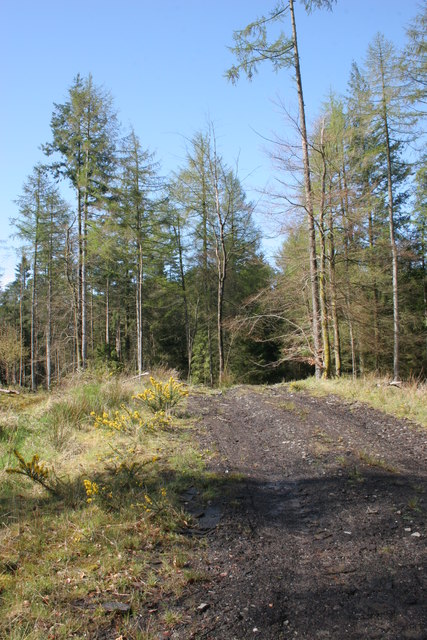
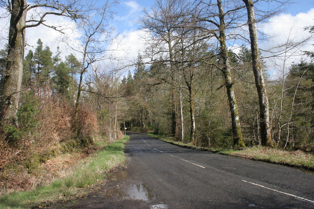
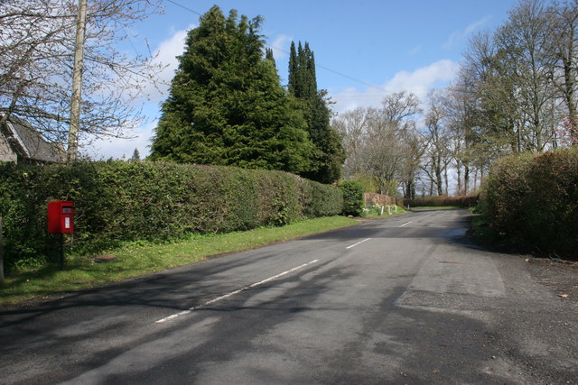
Images are sourced within 2km of 56.15/-4.247 or Grid Reference NS6097. Thanks to Geograph Open Source API. All images are credited.


Cardross is located at Grid Ref: NS6097 (Lat: 56.15, Lng: -4.247)
Unitary Authority: Stirling
Police Authority: Forth Valley
What 3 Words
///storeroom.downhill.mailer. Near Kippen, Stirling
Nearby Locations
Related Wikis

Port of Menteith railway station
Port of Menteith railway station served the village of Port of Menteith, Stirling, Scotland, from 1856 by 1934 on the Forth and Clyde Junction Railway...

A811 road
The A811 is a road in central Scotland. It runs from Stirling to Balloch. == Route == The road starts off in the centre of Stirling, at the Craigs Roundabout...
Arnprior, Stirling
Arnprior is a hamlet in the Stirling council area of Scotland on the A811 about 12 miles west of Stirling and is one of the smallest community council...
Ladylands Platform railway station
Ladylands Platform railway station co-served the village of Kippen, Stirling, Scotland, from 1861 to 1934 on the Forth and Clyde Junction Railway. ��2...

Flanders Moss
Flanders Moss (Scottish Gaelic: A’ Mhòine Fhlànrasach) is an area of raised bog lying in the Carse of Forth in west Stirlingshire, Scotland. The villages...
Fairfield Siding railway station
Fairfield Siding railway station co-served the village of Kippen, Stirling, Scotland, from 1861 to 1866 on the Forth and Clyde Junction Railway. ��2�...
Ruskie
Ruskie is a hamlet in Stirling, Scotland. It is located 4.5 kilometres (2+3⁄4 mi) from Thornhill. It lies within the FK postcode area. == About the... ==
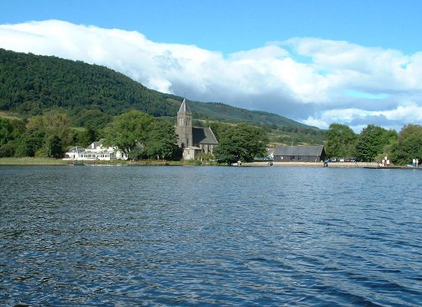
Lake of Menteith
Lake of Menteith, also known as Loch Inchmahome (Scottish Gaelic: Loch Innis Mo Cholmaig), is a loch in Scotland located on the Carse of Stirling (the...
Nearby Amenities
Located within 500m of 56.15,-4.247Have you been to Cardross?
Leave your review of Cardross below (or comments, questions and feedback).