Caer Penrhos

Heritage Site in Cardiganshire

Wales

Caer Penrhos

St Rhystyd's Church
St Rhystyd's Church Credit: Sandy Gerrard

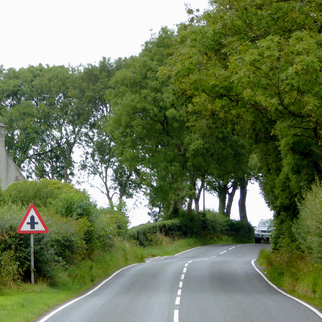
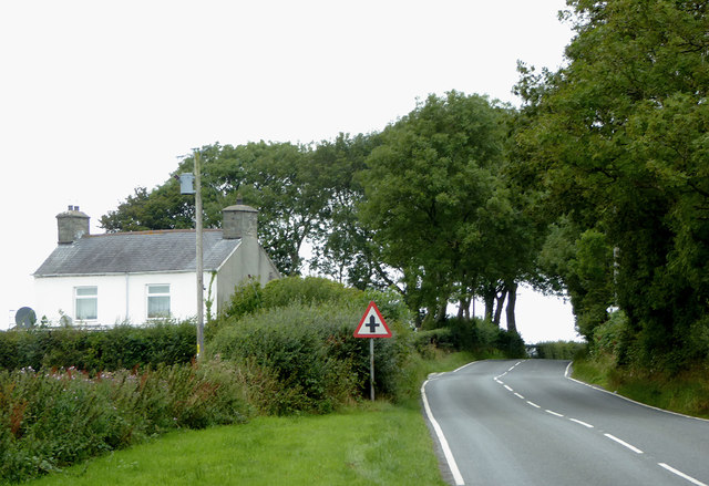
Caer Penrhos is a historic site located in Cardiganshire, Wales. It is a significant heritage site that holds great historical and cultural importance. The site is situated on a hilltop, offering panoramic views of the surrounding landscape.

Caer Penrhos dates back to the Iron Age, with evidence of occupation from at least the 1st century BC. The site consists of the remains of an ancient hillfort, which was once a fortified settlement. The fortification is surrounded by a series of earthworks and defensive ditches, providing insight into the defensive strategies of the time.

The hillfort covers an area of approximately 5 acres and is believed to have been home to a small community. Archaeological excavations have uncovered evidence of domestic structures, such as roundhouses and storage pits, suggesting that the site was once a thriving settlement.

Caer Penrhos is also associated with local folklore and legends. It is believed to be the site of a battle between Welsh and English forces during the medieval period. The area is said to be haunted by the spirits of fallen soldiers, adding to the site's mystique and allure.

Today, Caer Penrhos is a popular destination for history enthusiasts, archaeologists, and tourists alike. The site offers visitors the opportunity to explore the ancient remains, learn about the region's rich history, and appreciate the breathtaking views. Caer Penrhos stands as a testament to the ingenuity and resilience of the people who once called it home, preserving their legacy for future generations to admire.

If you have any feedback on the listing, please let us know in the comments section below.

Caer Penrhos Images

Images are sourced within 2km of 52.303/-4.12 or Grid Reference SN5569. Thanks to Geograph Open Source API. All images are credited.

St Rhystyd's Church
St Rhystyd's Church
A487 at Llanrhystud village boundary
Farm track to Tregynan Isaf
Cofiwch Dryweryn/Remember Tryweryn The graffiti commemorates the drowning of the village of Capel Celyn, near Bala in the Tryweryn valley in the 1960's. The valley was dammed to create a reservoir to provide water to Liverpool, despite overwhelming opposition from Welsh MPs. Over the years, many vandal attacks have occurred - the slogan painted over, words added and even partly demolished. It has since been rebuilt by local volunteers and the surroundings have been cleared so that an additional mural can be seen behind the original - "Fe godwn ni eto" (We will rise again). 
Since this original mural, over 50 homages to it have appeared all over Wales.
Cofiwch Dryweryn/Remember Tryweryn
The graffiti commemorates the drowning of the village of Capel Celyn, near Bala in the Tryweryn valley in the 1960's. The valley was dammed to create a reservoir to provide water to Liverpool, despite overwhelming opposition from Welsh MPs. Over the years, many vandal attacks have occurred - the slogan painted over, words added and even partly demolished. It has since been rebuilt by local volunteers and the surroundings have been cleared so that an additional mural can be seen behind the original - "Fe godwn ni eto" (We will rise again). Since this original mural, over 50 homages to it have appeared all over Wales.
Cofiwch Dryweryn Following vandalism, the wall has been rebuilt and repainted. Compare with this earlier image:  <a href="https://www.geograph.org.uk/photo/889023">SN5470 : Cofiwch Dryweryn / Remember Tryweryn</a>
Cofiwch Dryweryn
Following vandalism, the wall has been rebuilt and repainted. Compare with this earlier image: SN5470 : Cofiwch Dryweryn / Remember Tryweryn
Cofiwch Dryweryn Following vandalism, the wall has been rebuilt and repainted.  Compare with this earlier image <a href="https://www.geograph.org.uk/photo/889023">SN5470 : Cofiwch Dryweryn / Remember Tryweryn</a>.
Cofiwch Dryweryn
Following vandalism, the wall has been rebuilt and repainted. Compare with this earlier image SN5470 : Cofiwch Dryweryn / Remember Tryweryn.
Farmland around Ffospilcorn Farmland around Ffospilcorn viewed from a small lay-by on the A487.
Farmland around Ffospilcorn
Farmland around Ffospilcorn viewed from a small lay-by on the A487.
Farmland to the east of Llanrhystud A house and modern farm sheds in farmland to the east of Llanrhystud.
Farmland to the east of Llanrhystud
A house and modern farm sheds in farmland to the east of Llanrhystud.
Lay-by on the A487 Lay-by on the A487 north-east of Llanddeiniol.
Lay-by on the A487
Lay-by on the A487 north-east of Llanddeiniol.
The A487 and petrol station at Llanrhystud, Ceredigion Looking towards Aberystwyth. The A487 from Fishguard via Cardigan and Aberaeron continues on to Machynlleth and Dolgellau.
The A487 and petrol station at Llanrhystud, Ceredigion
Looking towards Aberystwyth. The A487 from Fishguard via Cardigan and Aberaeron continues on to Machynlleth and Dolgellau.
Petrol station at Llanrhystud, Ceredigion This petrol station is at the south-western end of the village by the A487 Fishguard-Cardigan-Aberystwyth-Machynlleth-Dolgellau road.
Petrol station at Llanrhystud, Ceredigion
This petrol station is at the south-western end of the village by the A487 Fishguard-Cardigan-Aberystwyth-Machynlleth-Dolgellau road.
The B4337 to Llanrhystud in Ceredigion This is about a mile west of Rhydroser. The B4337 leads from Temple Bar (near Lampeter) to Llanrhystud.
The B4337 to Llanrhystud in Ceredigion
This is about a mile west of Rhydroser. The B4337 leads from Temple Bar (near Lampeter) to Llanrhystud.
The B4337 to Llanrhystud in Ceredigion This is about a mile west of Rhydroser. The B4337 leads from Temple Bar (near Lampeter) to Llanrhystud. Hafod Newydd farm house is on the left.
The B4337 to Llanrhystud in Ceredigion
This is about a mile west of Rhydroser. The B4337 leads from Temple Bar (near Lampeter) to Llanrhystud. Hafod Newydd farm house is on the left.
Milestone - Aberystwyth 9
Looking to the south from Llanrhystud The A487 road. Fuel prices - 109.9 and 108.9 pence per litre for petrol and diesel respectively.
Looking to the south from Llanrhystud
The A487 road. Fuel prices - 109.9 and 108.9 pence per litre for petrol and diesel respectively.
Aberystwyth VOSA test station Now closed and the property for sale.
Aberystwyth VOSA test station
Now closed and the property for sale.
Milestone at Llanrhystud 'Aberystwyth 9 miles'. Beside the A487 road.
Milestone at Llanrhystud
'Aberystwyth 9 miles'. Beside the A487 road.
Llanrhystud Neuadd Goffa/Memorial Hall 1914-1918 Still very much in use. Facilities offered are listed here <span class="nowrap"><a title="http://www.ceredigionhalls.org.uk/directory/listing/llanrhystud-neuadd-goffamemorial-hall" rel="nofollow ugc noopener" href="http://www.ceredigionhalls.org.uk/directory/listing/llanrhystud-neuadd-goffamemorial-hall">Link</a><img style="margin-left:2px;" alt="External link" title="External link - shift click to open in new window" src="https://s1.geograph.org.uk/img/external.png" width="10" height="10"/></span>
Llanrhystud Neuadd Goffa/Memorial Hall 1914-1918
Still very much in use. Facilities offered are listed here LinkExternal link
Show me another place!

Caer Penrhos is located at Grid Ref: SN5569 (Lat: 52.303, Lng: -4.12)

Unitary Authority: Ceredigion

Police Authority: Dyfed Powys

What 3 Words

///typist.snug.crash. Near Llanon, Ceredigion

Related Wikis

Gaer Penrhôs

Gaer Penrhôs, in Ceredigion, Wales, was a ringwork castle at the summit of a steep hill near the village of Llanrhystud; now all that remains are the outlines...

Tŷ-Newydd, Ceredigion

Tŷ-Newydd is a small village in the community of Llanrhystud, Ceredigion, Wales, which is 69.5 miles (111.8 km) from Cardiff and 179.1 miles (288.2 km...
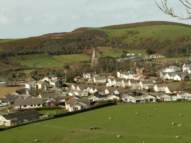
Llanrhystud

Llanrhystud is a seaside village and electoral division on the A487 road in the county of Ceredigion, in Wales, 9 miles (14 km) south of Aberystwyth, and...

Rhyd-Rosser

Rhydroser is a hamlet in the community of Llanrhystud, Ceredigion, Wales, which is 68.5 miles (110.3 km) from Cardiff and 178 miles (286.5 km) from London...
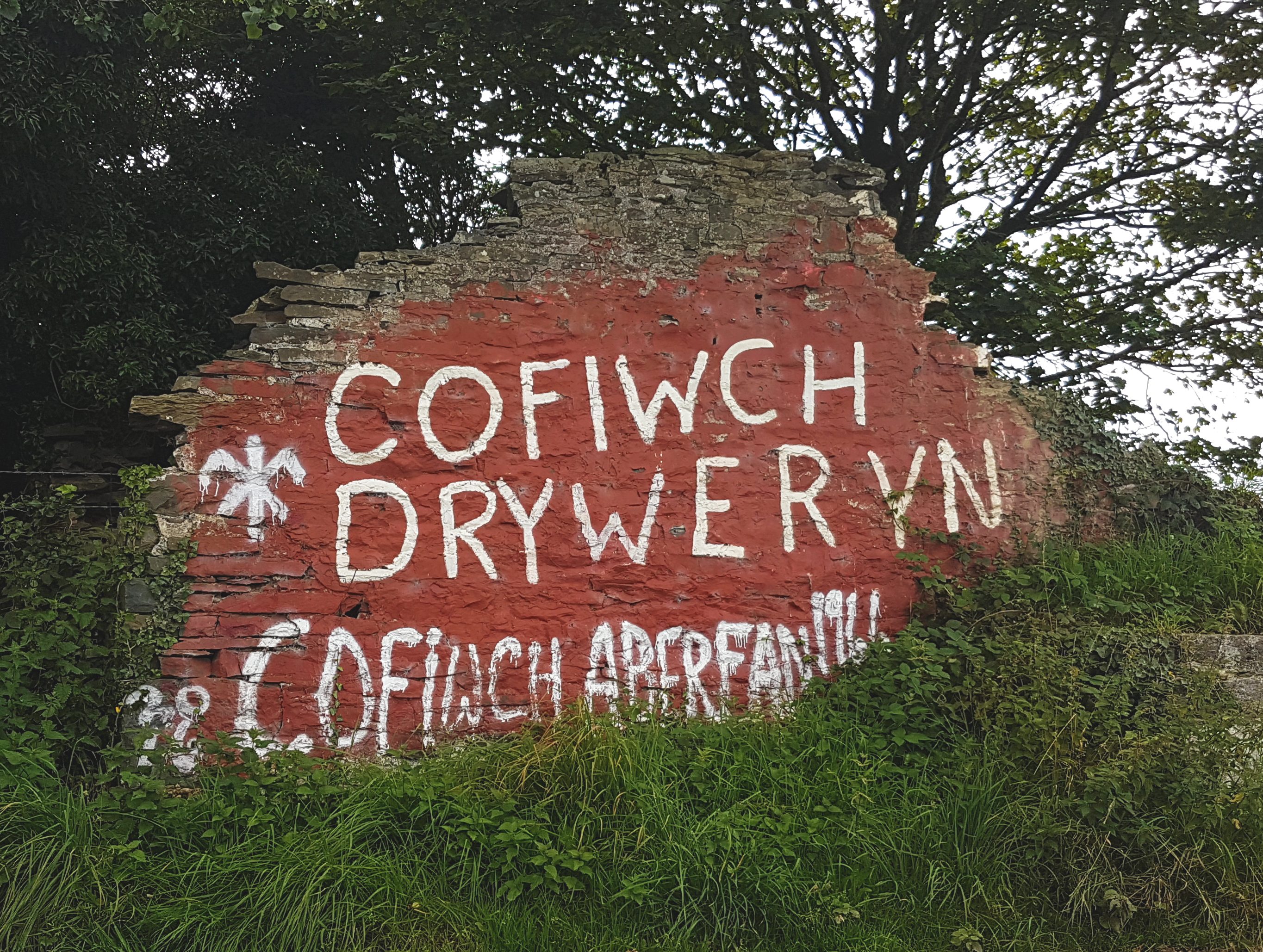
Cofiwch Dryweryn

Cofiwch Dryweryn (English: "Remember Tryweryn") is a graffitied stone wall near Llanrhystud, Ceredigion, Wales. Author and journalist Meic Stephens originally...

Afon Wyre

Afon Wyre (Welsh pronunciation: [ˈʊɨ̯rɛ] ), (English: River Wyre), is a small river in the county of Ceredigion, Wales; also called Afon Wyre Fawr ("Great...

Trawsnant

Trawsnant is a hamlet in the community of Llanrhystud, Ceredigion, Wales, which is 67.8 miles (109.1 km) from Cardiff and 177.5 miles (285.7 km) from...

Rhos Blaen Carrog

Rhos Blaen Carrog is a Site of Special Scientific Interest in Ceredigion, west Wales, due to its population of Wavy St. John's Wort (Hypericum undulatum...

Nearby Amenities

Located within 500m of 52.303,-4.12
Ele: 130
Natural: peak
Note: Previously mapped as "Caer Penrhos." But "caer" is Wlesh for "fort" so that name appklies to the fort, not the hill it is on.
Lat/Long: 52.3051454/-4.1250462
The data included in this document is from www.openstreetmap.org. The data is made available under ODbL.

Have you been to Caer Penrhos?

Leave your review of Caer Penrhos below (or comments, questions and feedback).