Caer Pwll-glâs
Heritage Site in Cardiganshire
Wales
Caer Pwll-glâs
Caer Pwll-glâs, located in Cardiganshire, Wales, is a significant heritage site with a rich history dating back to the Iron Age. The site is an ancient hillfort situated on a prominent ridge overlooking the Teifi Valley, providing breathtaking panoramic views of the surrounding landscape.
The fortification is known for its impressive ramparts and defensive earthworks, which were constructed by the native Celts during the late Iron Age. The site covers an area of approximately 1.5 hectares and consists of a series of concentric earth banks and ditches. These defensive features were built to protect the settlement's inhabitants from potential threats and invaders.
Archaeological excavations have revealed evidence of human habitation at Caer Pwll-glâs during the Iron Age and subsequent periods, including the Roman and medieval eras. Discoveries at the site have included pottery fragments, metalwork, and tools, shedding light on the daily lives and activities of its past occupants.
Caer Pwll-glâs is recognized as an important historical site, providing valuable insights into the ancient civilizations that once thrived in the region. Visitors to the site can explore the remains of the earthworks, allowing them to visualize the defensive nature of the hillfort. The location also offers an opportunity to appreciate the stunning natural beauty of the Welsh countryside.
Preservation efforts have been made to maintain and protect the site, ensuring that future generations can continue to appreciate and learn from its historical significance. Caer Pwll-glâs stands as a testament to the ingenuity and resilience of the Iron Age communities that once called it home.
If you have any feedback on the listing, please let us know in the comments section below.
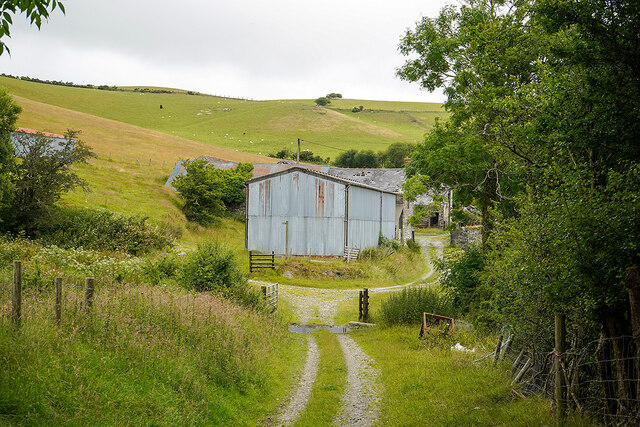
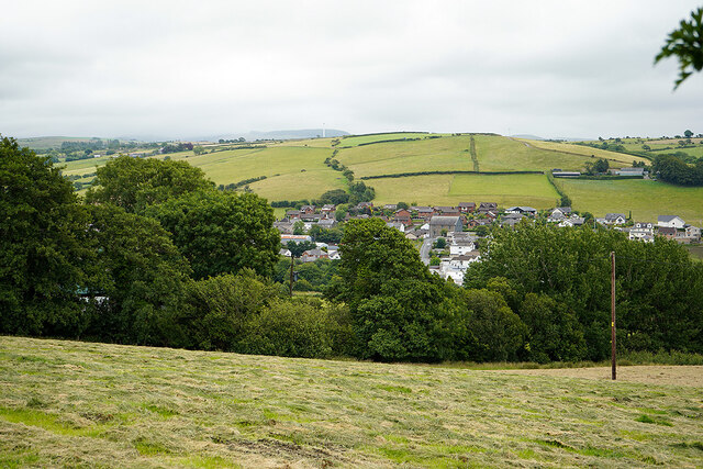
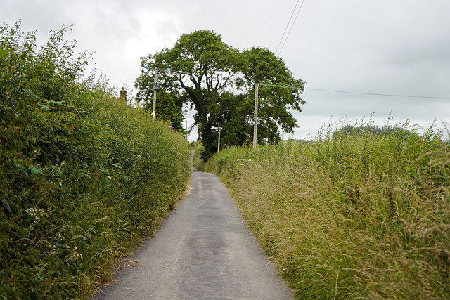
Caer Pwll-glâs Images
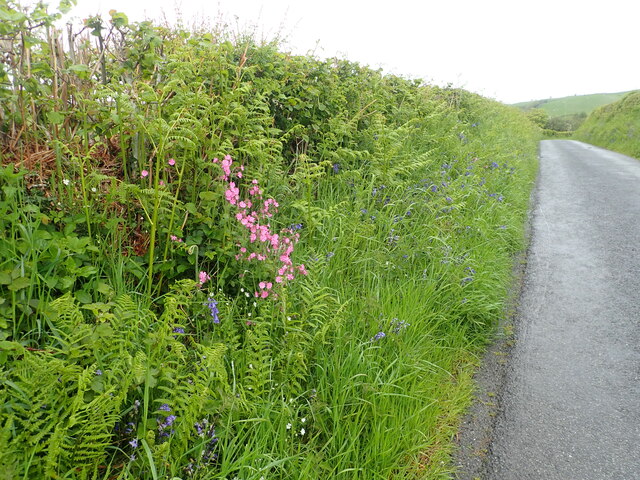
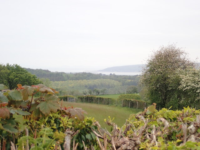
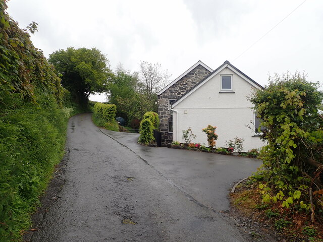
Images are sourced within 2km of 52.458/-4.01 or Grid Reference SN6386. Thanks to Geograph Open Source API. All images are credited.
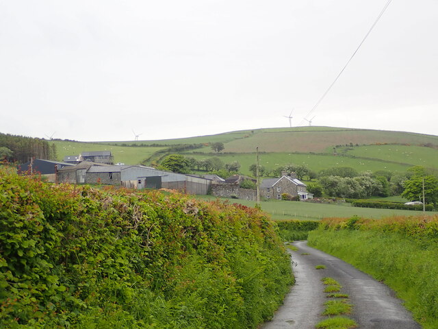

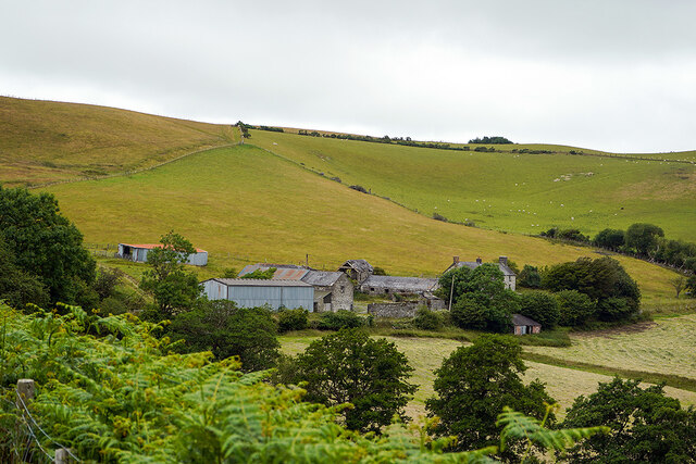
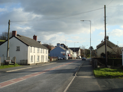
![Ruel-uchaf [farm] Viewed from the path from Bow Street to Landre.](https://s0.geograph.org.uk/geophotos/07/22/02/7220232_bc23c819.jpg)
Caer Pwll-glâs is located at Grid Ref: SN6386 (Lat: 52.458, Lng: -4.01)
Unitary Authority: Ceredigion
Police Authority: Dyfed Powys
What 3 Words
///protect.tightest.stability. Near Bow Street, Ceredigion
Nearby Locations
Related Wikis

Dole, Ceredigion
Dole, Ceredigion is a small village in the community of Tirymynach, Ceredigion, Wales. Dole is represented in the Senedd by Elin Jones (Plaid Cymru) and...
Dol-gau
Dol-gau (or Dôl-gau) is a small village in the community of Tirymynach, Ceredigion, Wales, which is 76.4 miles (123 km) from Cardiff and 177.5 miles...
Taigwynion
Taigwynion is a hamlet 1 km ENE of Llandre in Ceredigion, Wales. It has 11 houses and a postcode of its own, SY24 5AG. == Toponymy == Taigwynion has no...

Rhydypennau, Ceredigion
Rhydypennau is a hamlet in the Genau'r-glyn district of Ceredigion, Wales, approximately 4+1⁄2 miles (7.2 km) north-east of Aberystwyth. Along with the...
Bow Street F.C.
Bow Street F.C. are based at Rhydypennau near Bow Street in Ceredigion, Wales, about 4+1⁄2 miles (7.2 km) north-east of Aberystwyth, and are currently...

Llandre
Llandre, or Llanfihangel Genau'r Glyn, is a village in Ceredigion, Wales. It lies 5 miles north of Aberystwyth in the north-west of the county, on the...
Pen-y-garn, Ceredigion
Pen-y-garn is a small village in the Tirymynach district of Ceredigion, Wales, approximately 4 miles (6 km) north-east of Aberystwyth. Along with the hamlet...

Castell Gwallter
Castell Gwallter, also known as Walter's Castle and sometimes Castell Penweddig, is the remains of a Norman motte-and-bailey castle situated on a large...
Nearby Amenities
Located within 500m of 52.458,-4.01Have you been to Caer Pwll-glâs?
Leave your review of Caer Pwll-glâs below (or comments, questions and feedback).