Caer Noddfa
Heritage Site in Montgomeryshire
Wales
Caer Noddfa
Caer Noddfa, located in Montgomeryshire, Wales, is a prominent heritage site that attracts visitors from all around the world. This ancient fortress holds great historical significance and offers a glimpse into the rich cultural heritage of the region.
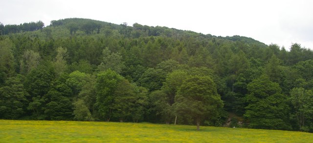
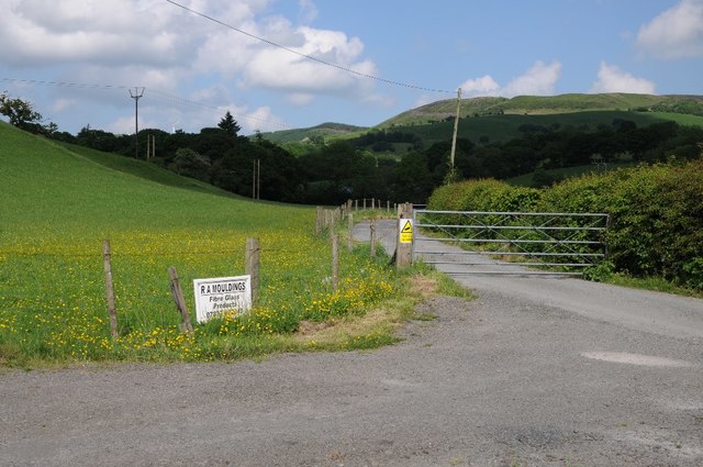
Situated on a picturesque hilltop, Caer Noddfa overlooks the stunning Montgomeryshire countryside. The site dates back to the Iron Age, with evidence of human habitation dating as far back as 500 BC. The fortress was strategically positioned to provide a vantage point and defend against potential invaders.
The remains of Caer Noddfa showcase the architectural prowess of the ancient inhabitants. The site consists of well-preserved defensive walls, ramparts, and an imposing entrance gate, providing insights into the defensive strategies employed during that era. The layout and design of the fortress reveal the strategic planning and engineering skills of the Iron Age community.
Visitors to Caer Noddfa can explore the site and take in the breathtaking views of the surrounding landscape. Interpretive panels and guided tours provide historical context, allowing visitors to immerse themselves in the rich history of the area. The site also hosts various events and exhibitions throughout the year, offering a deeper understanding of the cultural and historical significance of Caer Noddfa.
Caer Noddfa is not only a remarkable archaeological site but also a testament to the enduring legacy of the ancient civilizations that once thrived in Montgomeryshire. It serves as a valuable educational resource and a reminder of the importance of preserving and celebrating our shared heritage.
If you have any feedback on the listing, please let us know in the comments section below.
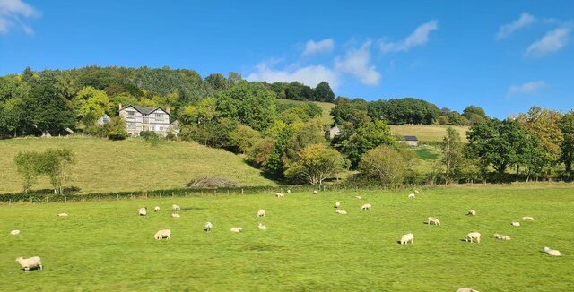
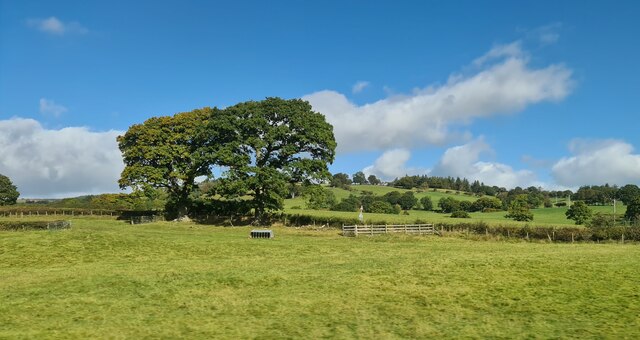
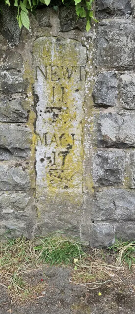
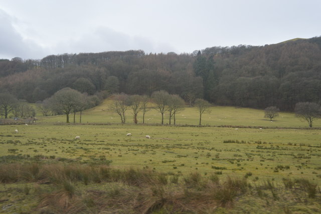
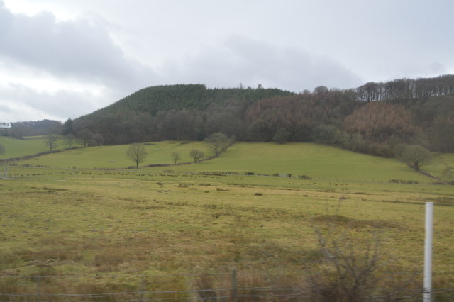
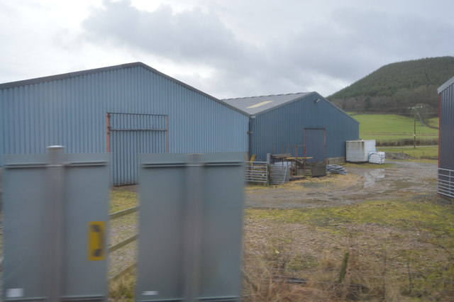
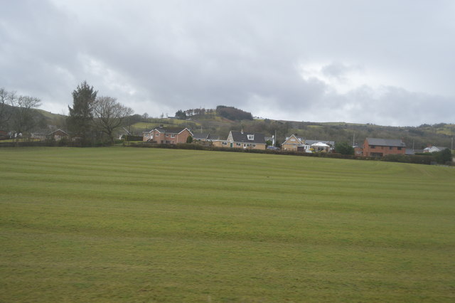
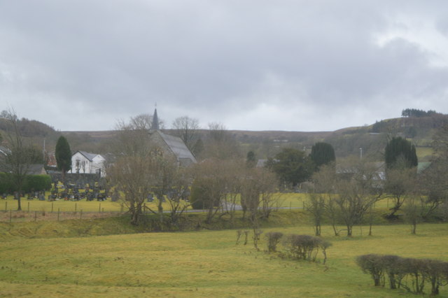
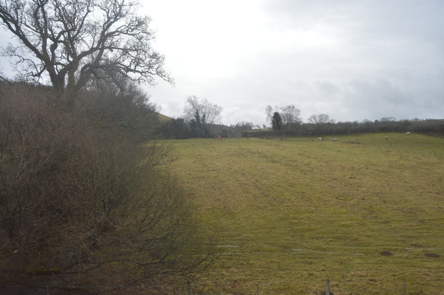
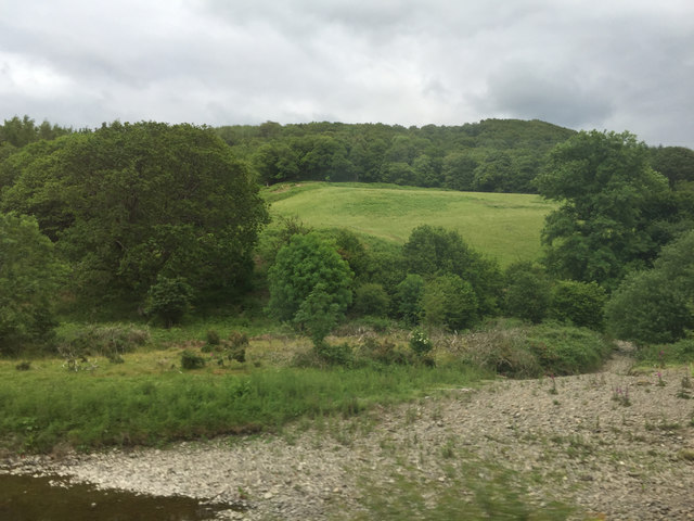
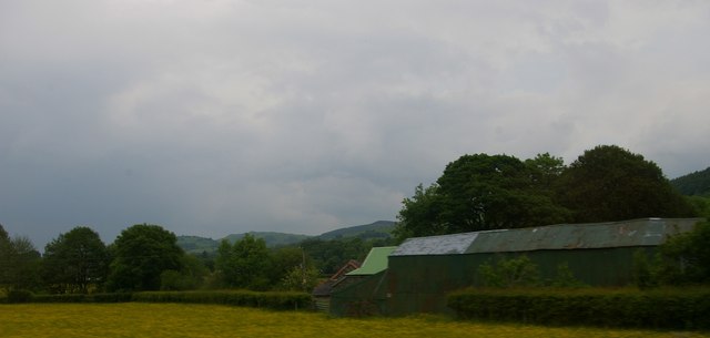
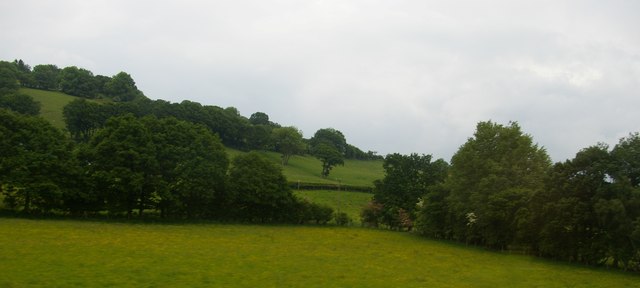
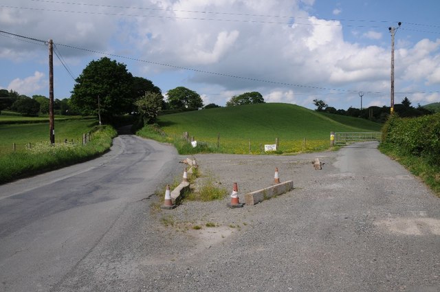
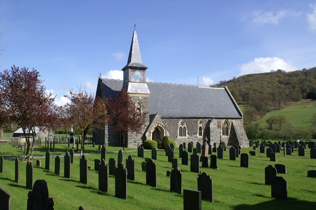
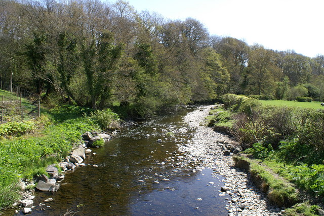
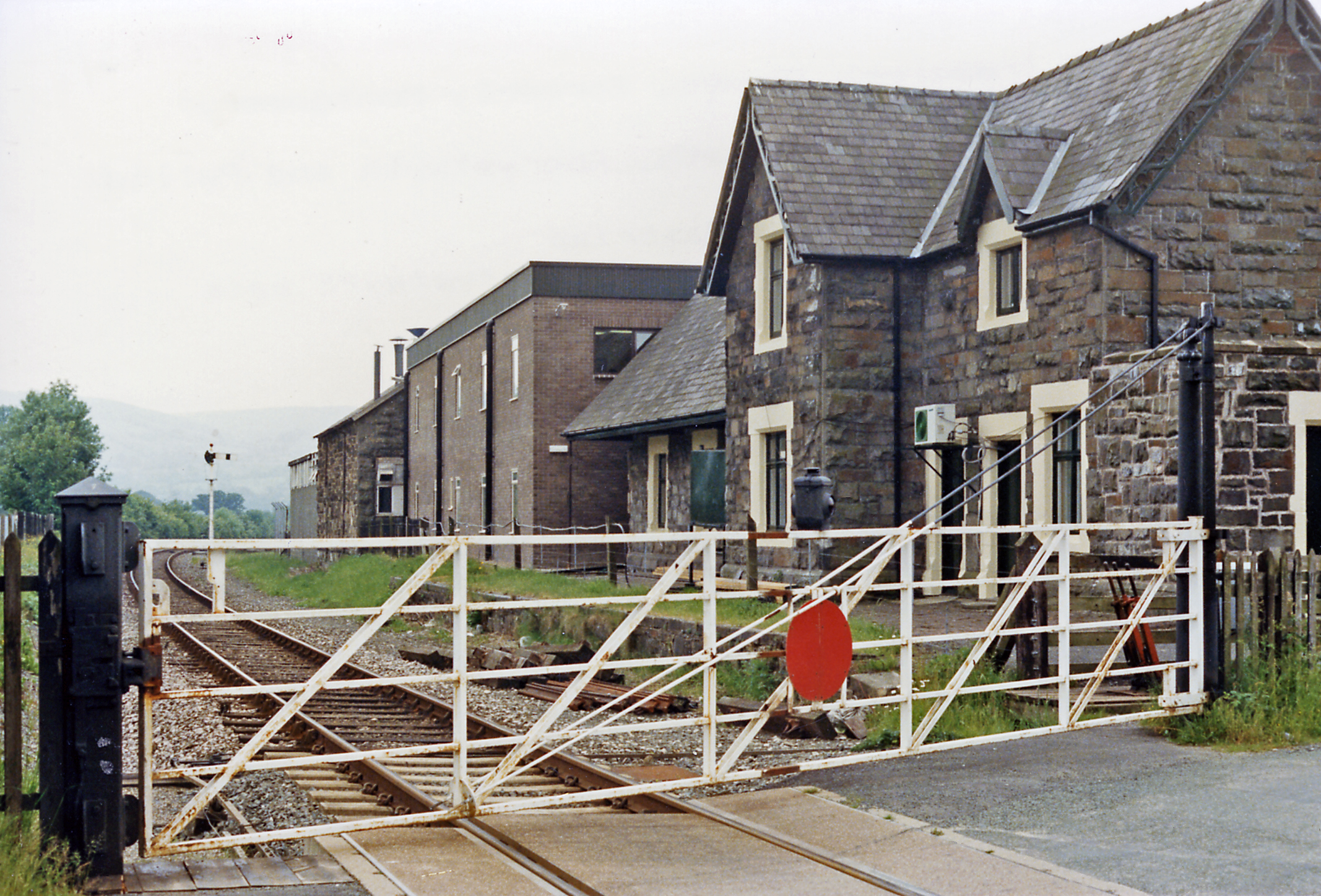
Caer Noddfa Images
Images are sourced within 2km of 52.557/-3.527 or Grid Reference SN9696. Thanks to Geograph Open Source API. All images are credited.

Caer Noddfa is located at Grid Ref: SN9696 (Lat: 52.557, Lng: -3.527)
Unitary Authority: Powys
Police Authority: Dyfed Powys
What 3 Words
///staring.counts.unrated. Near Staylittle, Powys
Nearby Locations
Related Wikis
Carno
Carno is a village in Powys, Wales. The community, which is also a parish in the historic county of Montgomeryshire, comprises the townships of Derlwyn...
River Carno
The River Carno (Welsh: Afon Carno) is a river in Powys, mid Wales, and a tributary of the River Severn. The river is named after the village of Carno...

Carno F.C.
Carno Football Club is an amateur Welsh football team based in the village of Carno. The team competes in the Central Wales Northern Division. The club...
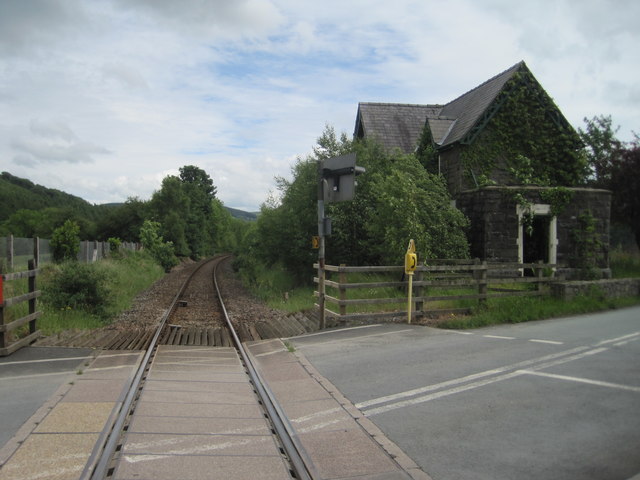
Carno railway station
Carno is a closed railway station in Carno, on the Cambrian Line, that was part of the Newtown and Machynlleth Railway. The station was closed in 1965...
Golfa railway station
Golfa railway station is a preserved station that serves the area of Golfa, Powys, Wales, on the Welshpool and Llanfair Light Railway. == History == The...

Montgomeryshire
Montgomeryshire (Welsh: Sir Drefaldwyn meaning "the Shire of Baldwin's town") is one of thirteen historic counties and a former administrative county of...
Clatter, Powys
Clatter is a small village in Powys, Wales located in the community of Caersws on the main A470 road between Carno and Caersws village. == External... ==

Plasau Duon
Plasau Duon or Plasauduon is a timber-framed house, formerly in the parish of Carno, but now within the area of the community council of Caersws in...
Nearby Amenities
Located within 500m of 52.557,-3.527Have you been to Caer Noddfa?
Leave your review of Caer Noddfa below (or comments, questions and feedback).