Caer Lletty-llwyd
Heritage Site in Cardiganshire
Wales
Caer Lletty-llwyd
Caer Lletty-llwyd is a historical heritage site located in Cardiganshire, Wales. This ancient fortification dates back to the Iron Age, around 2,500 years ago. It is situated on a hilltop, providing a strategic vantage point over the surrounding landscape.
The site consists of a series of ramparts and ditches that enclose an area of approximately 1.5 hectares. The fortification is believed to have been used for defensive purposes, protecting the local inhabitants from potential invaders. The remains of several roundhouses have also been discovered within the enclosure, indicating that it was likely a residential settlement as well.
Excavations at Caer Lletty-llwyd have uncovered various artifacts, including pottery shards, tools, and animal bones, providing valuable insights into the daily lives and activities of the ancient inhabitants. These findings suggest that the site was occupied continuously for several centuries.
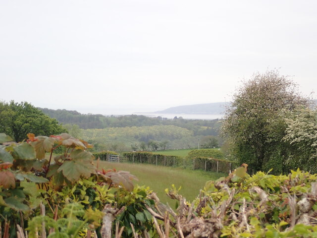
Visitors to Caer Lletty-llwyd can explore the well-preserved earthworks and get a sense of the site's strategic importance in its heyday. The surrounding landscape offers breathtaking panoramic views, allowing visitors to imagine the strategic advantage the fortification provided.
Caer Lletty-llwyd is of significant historical and archaeological interest, providing valuable information about the Iron Age settlement patterns and defensive strategies in the region. Its location and well-preserved remains make it an important site for researchers studying ancient Welsh history.
The site is open to the public and is maintained by local authorities. Interpretive signs and information boards provide visitors with additional context and understanding of the site's historical significance. Caer Lletty-llwyd offers a unique opportunity to step back in time and immerse oneself in the ancient past of Cardiganshire.
If you have any feedback on the listing, please let us know in the comments section below.
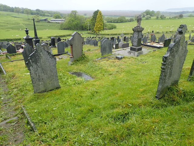
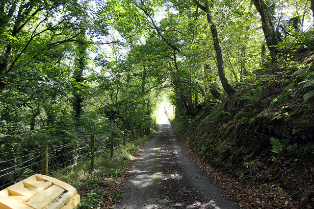
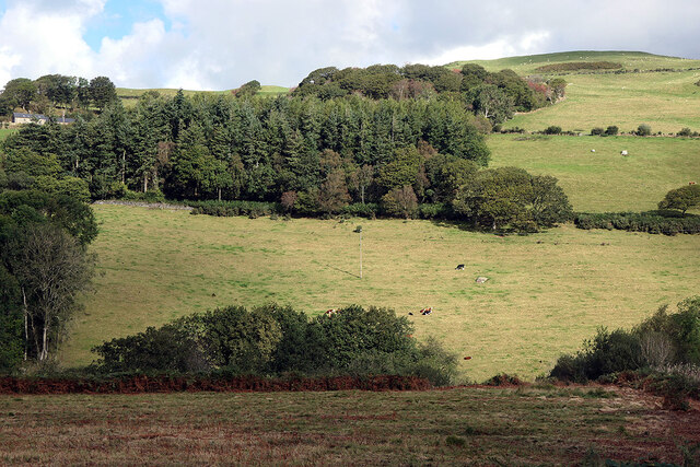
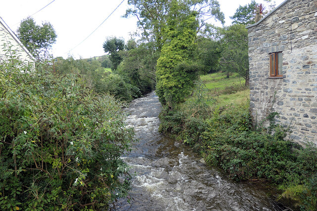
Caer Lletty-llwyd Images
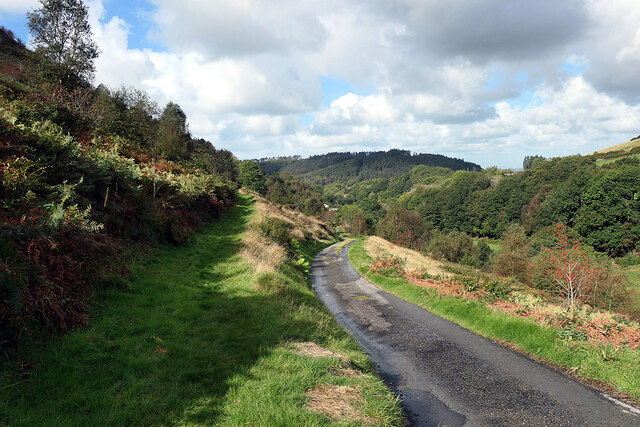
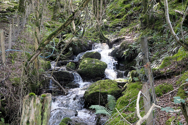
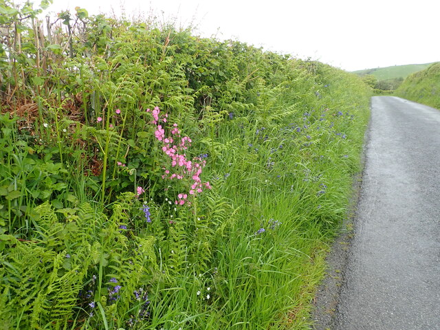
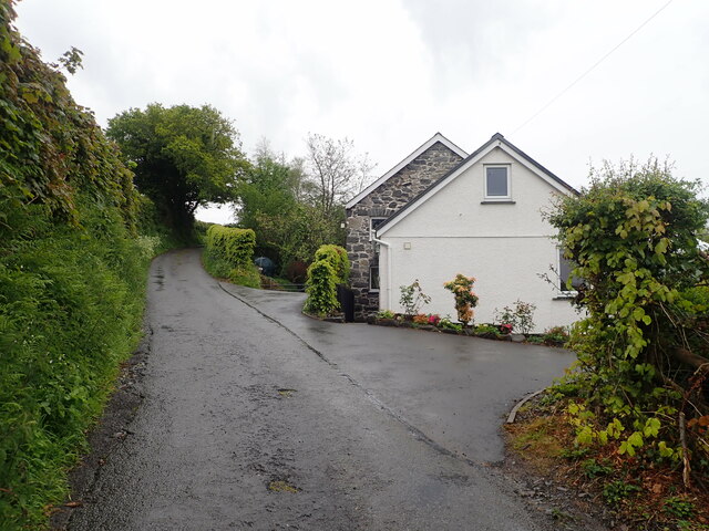
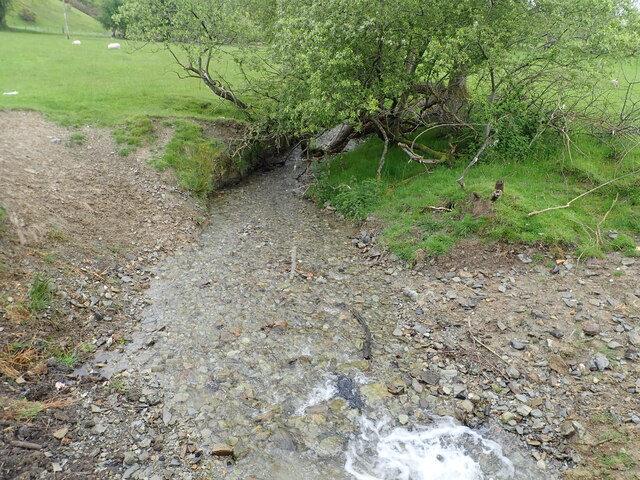
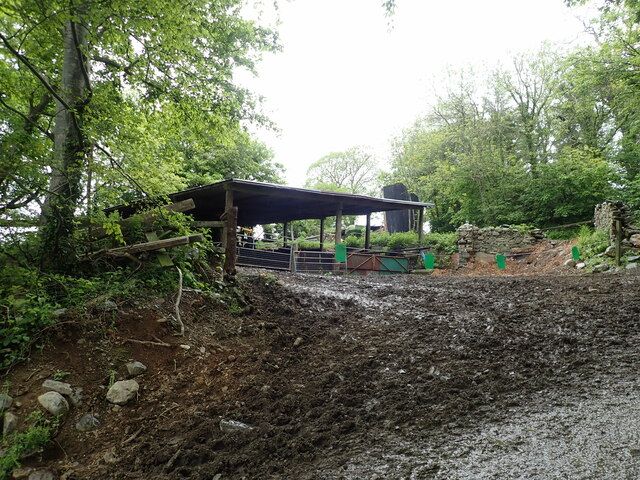
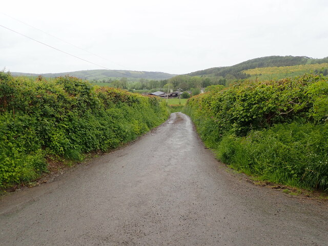
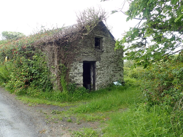
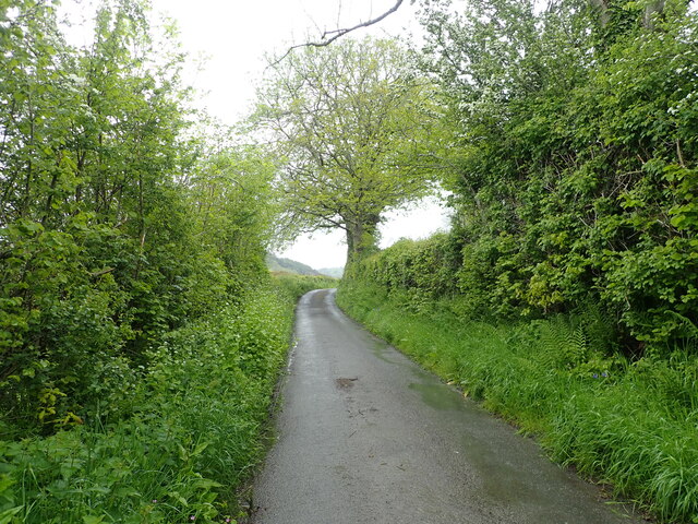
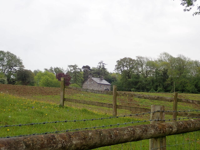
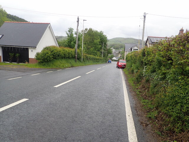
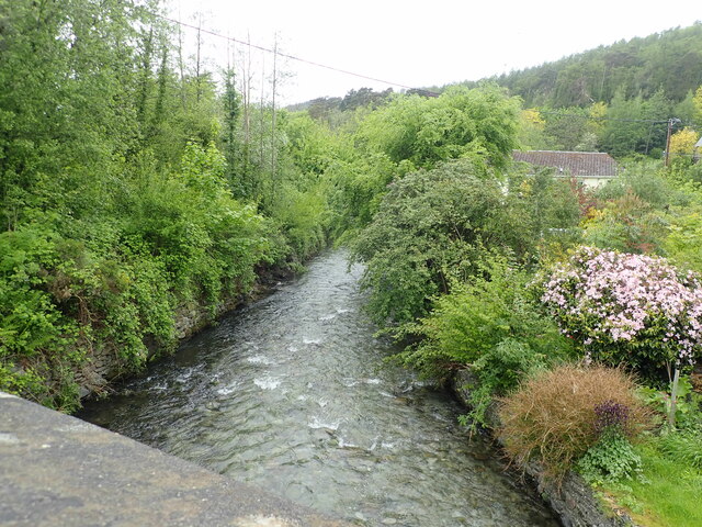
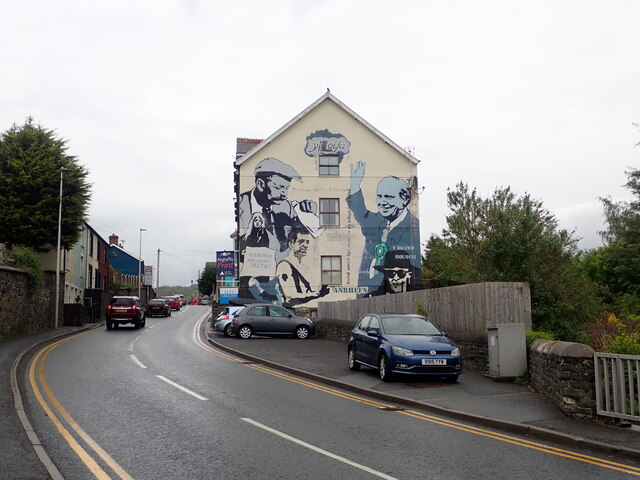
Images are sourced within 2km of 52.477/-3.98 or Grid Reference SN6588. Thanks to Geograph Open Source API. All images are credited.
Caer Lletty-llwyd is located at Grid Ref: SN6588 (Lat: 52.477, Lng: -3.98)
Unitary Authority: Ceredigion
Police Authority: Dyfed Powys
What 3 Words
///rapport.twitches.carefully. Near Borth, Ceredigion
Nearby Locations
Related Wikis

Tal-y-bont, Ceredigion
Tal-y-bont (Welsh pronunciation: [ˌtal ə ˈbɔnt]; also spelled as Talybont) is a village in Ceredigion, Wales, located on the A487 road about halfway between...

Cynnull-mawr
Cynnull-mawr is a small village in the community of Ceulanamaesmawr, Ceredigion, Wales, which is 76.3 miles (122.8 km) from Cardiff and 176.9 miles (284...
Ceulanamaesmawr
Ceulanamaesmawr is a community in Ceredigion, Wales, consisting of Tal-y-bont, Bont-goch and the surrounding area. The total population at the United...
Dol-gau
Dol-gau (or Dôl-gau) is a small village in the community of Tirymynach, Ceredigion, Wales, which is 76.4 miles (123 km) from Cardiff and 177.5 miles...
Nearby Amenities
Located within 500m of 52.477,-3.98Have you been to Caer Lletty-llwyd?
Leave your review of Caer Lletty-llwyd below (or comments, questions and feedback).