Burhill
Heritage Site in Worcestershire Wychavon
England
Burhill

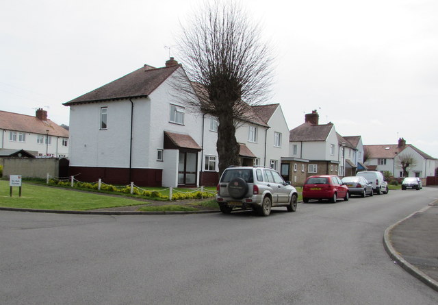
Burhill, Worcestershire is a historic heritage site located in the county of Worcestershire, England. It is a small village situated within the wider Burhill civil parish, which is part of the Wychavon district. The village is nestled in a picturesque rural setting, surrounded by rolling hills and verdant countryside.
The history of Burhill dates back centuries, with evidence of human habitation in the area since prehistoric times. The village itself is known for its well-preserved medieval buildings, including the Grade I listed St. Mary's Church, which dates back to the 12th century. The church boasts impressive architectural features such as a Norman tower and a beautifully carved wooden rood screen.
In addition to its architectural heritage, Burhill is also home to a number of traditional thatched cottages, which add to the village's charm and character. These cottages are a testament to the village's rich history and provide a glimpse into the rural life of Worcestershire in centuries past.
The surrounding countryside offers ample opportunities for outdoor activities, such as hiking and cycling, with numerous trails and footpaths crisscrossing the area. The village is also within close proximity to other notable attractions, including the nearby market town of Pershore and the magnificent Malvern Hills, which offer breathtaking views of the surrounding landscape.
Overall, Burhill, Worcestershire is a hidden gem, offering visitors a chance to step back in time and experience the beauty and history of rural England. It is a place of tranquility and charm, where the past and present seamlessly merge to create a truly unique and captivating destination.
If you have any feedback on the listing, please let us know in the comments section below.
Burhill Images
Images are sourced within 2km of 52.027/-1.875 or Grid Reference SP0836. Thanks to Geograph Open Source API. All images are credited.


Burhill is located at Grid Ref: SP0836 (Lat: 52.027, Lng: -1.875)
Administrative County: Worcestershire
District: Wychavon
Police Authority: West Mercia
What 3 Words
///proves.prowess.eclipses. Near Broadway, Worcestershire
Nearby Locations
Related Wikis

Buckland, Gloucestershire
Buckland is a village and civil parish in the borough of Tewkesbury, Gloucestershire, England. The parish, which also includes the village of Laverton...

Broadway War Memorial
The Broadway War Memorial is located on the village green in the village of Broadway in Worcestershire. The memorial marks the deaths of local individuals...
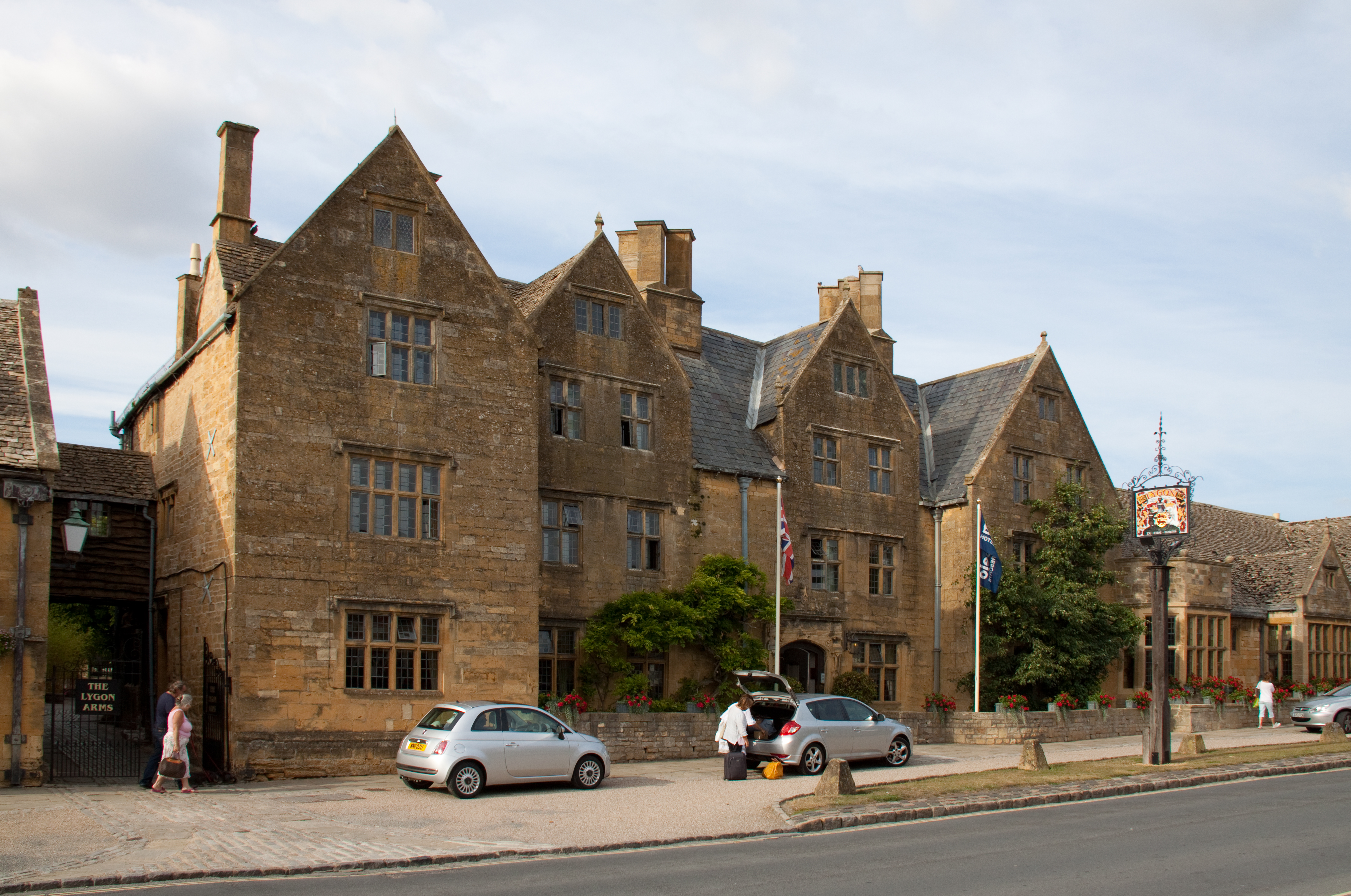
Lygon Arms
The Lygon Arms ( LIG-ən) is a Grade II* listed hotel in Broadway, Worcestershire, originally a coaching inn. The current building dates from the seventeenth...

Laverton, Gloucestershire
Laverton is a village in Tewkesbury Borough in Gloucestershire, England. It lies less than a mile south of the village of Buckland, and is in the civil...

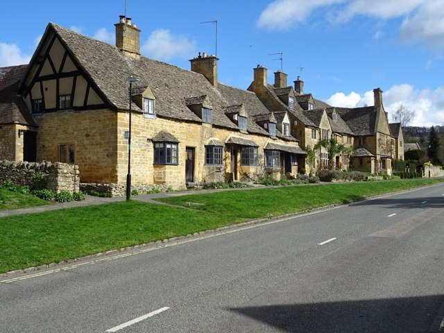
Broadway, Worcestershire
Broadway is a large village and civil parish in the Cotswolds, England, with a population of 2,540 at the 2011 census. It is in the far southeast of Worcestershire...

Broadway railway station
Broadway railway station is a railway station on the heritage Gloucestershire Warwickshire Railway in the village of Broadway in Worcestershire, England...

Laverton Halt railway station
Laverton Halt railway station was a halt on the Honeybourne Line from Honeybourne to Cheltenham which served the hamlet of Laverton in Gloucestershire...

Childswickham
Childswickham is a village in Worcestershire, England, situated within the flat open landscape of the Vale of Evesham, between the Bredon and Cotswold...
Nearby Amenities
Located within 500m of 52.027,-1.875Have you been to Burhill ?
Leave your review of Burhill below (or comments, questions and feedback).