Burgundy Chapel
Heritage Site in Somerset Somerset West and Taunton
England
Burgundy Chapel
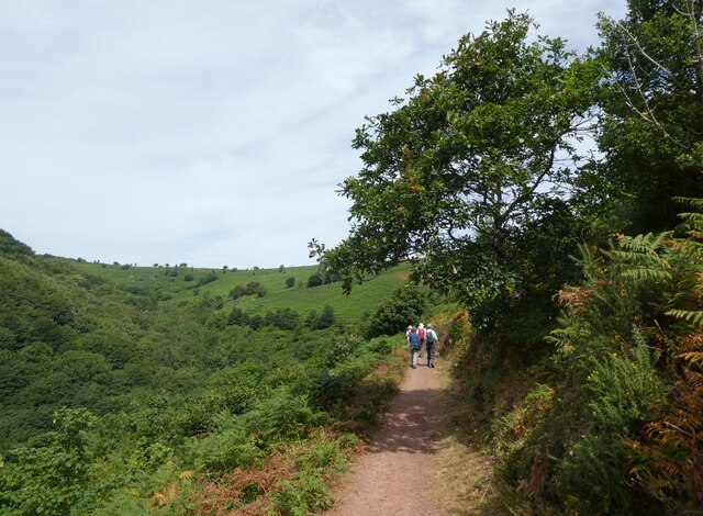
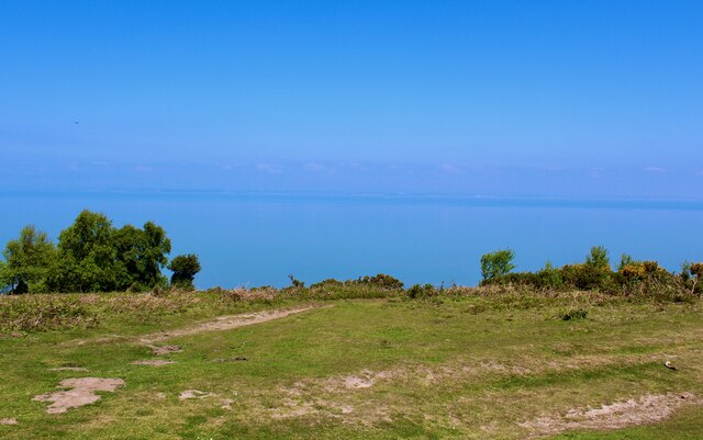
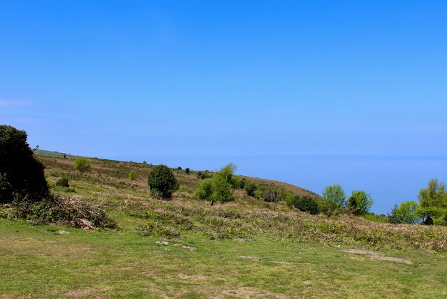
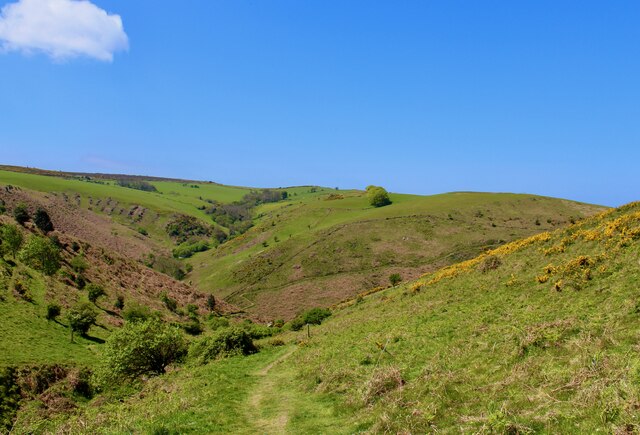
Burgundy Chapel, located in Somerset, England, is a historical site of great importance. This heritage site is a small chapel that dates back to the 12th century, making it over 800 years old. The chapel is situated on a picturesque hillside, surrounded by lush greenery and offering stunning views of the surrounding countryside.
The architecture of Burgundy Chapel is a fine example of medieval design. The exterior is constructed with local stone, giving it a rustic charm, while the interior boasts beautiful stained glass windows that have survived the test of time. The chapel is relatively small, with a simple layout consisting of a nave, chancel, and a small bell tower.
The significance of Burgundy Chapel lies in its historical and religious importance. It has served as a place of worship for centuries, providing solace and spiritual guidance to the local community. The chapel also acted as a meeting place for villagers during times of celebration or mourning.
Over the years, Burgundy Chapel has undergone several renovations and restoration efforts to preserve its original features. Today, it stands as a testament to the rich history and cultural heritage of Somerset. Visitors can explore the chapel, admire its architectural details, and experience a sense of tranquility within its walls.
Burgundy Chapel is a popular destination for tourists and history enthusiasts alike. Its serene location, combined with its historical significance, makes it a must-visit site for anyone interested in experiencing the charm and heritage of Somerset.
If you have any feedback on the listing, please let us know in the comments section below.
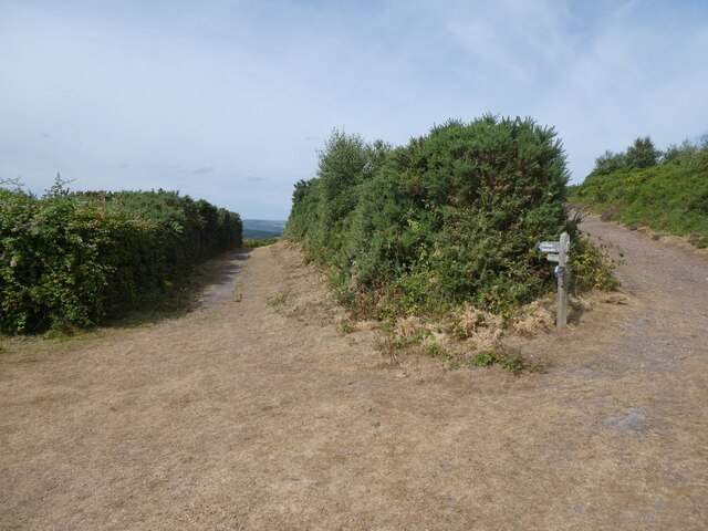
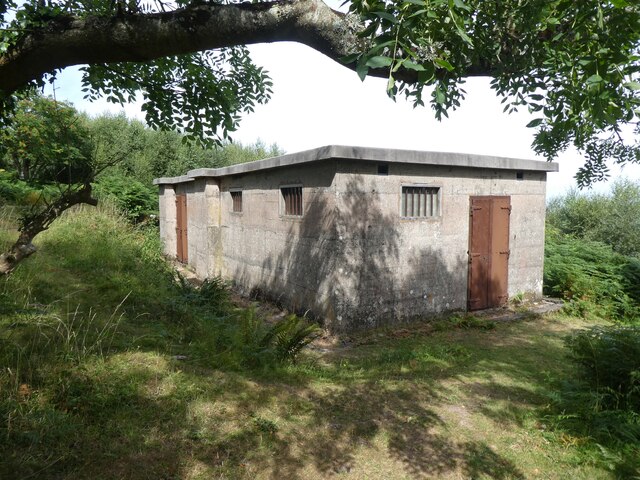
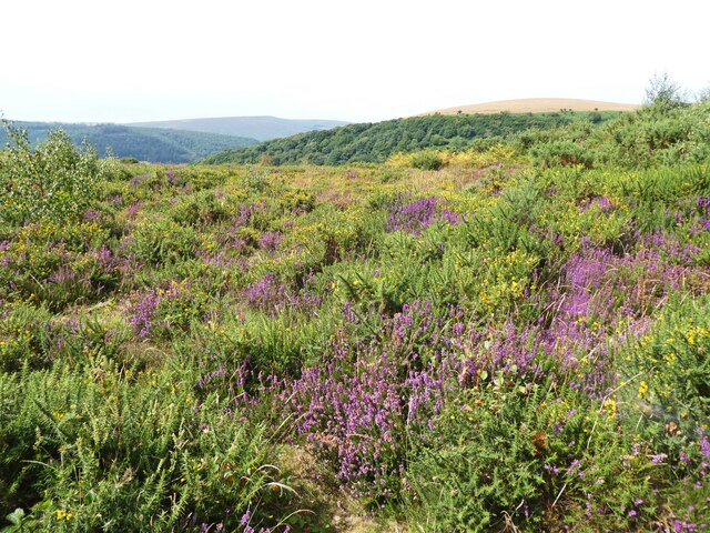
Burgundy Chapel Images
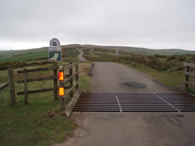
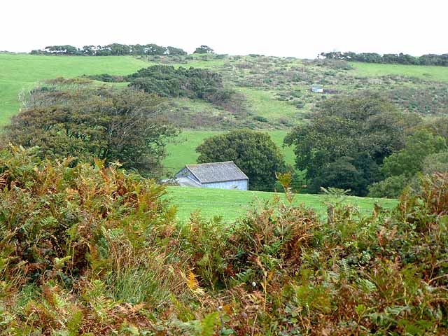
Images are sourced within 2km of 51.225/-3.51 or Grid Reference SS9448. Thanks to Geograph Open Source API. All images are credited.


Burgundy Chapel is located at Grid Ref: SS9448 (Lat: 51.225, Lng: -3.51)
Administrative County: Somerset
District: Somerset West and Taunton
Police Authority: Avon and Somerset
What 3 Words
///exotic.suspect.digested. Near Minehead, Somerset
Nearby Locations
Related Wikis
East Myne
East Myne is a univallate Iron Age hill fort enclosure in the West Somerset district of Somerset, England. The hill fort is situated approximately 1.1...

Bratton Court
Bratton Court in the hamlet of Bratton within the parish of Minehead Without, Somerset, England was built as a manor house, with a 14th-century open hall...

Minehead Without
Minehead Without is a civil parish in the English county of Somerset, and within the Exmoor National Park. As its name suggests, the parish covers a rural...

Church of St Michael, Minehead
The Anglican Church of St Michael in Minehead, Somerset, England was built in the 15th century. It is a Grade II* listed building. == History == The church...
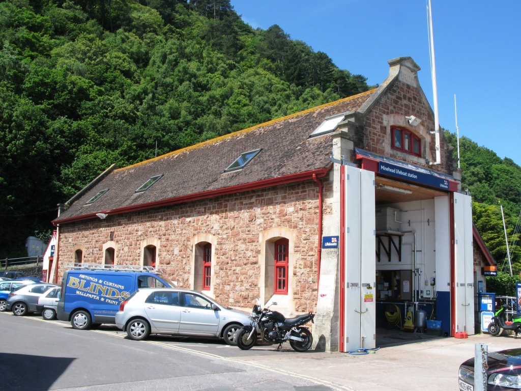
Minehead Lifeboat Station
Minehead Lifeboat Station is the base for Royal National Lifeboat Institution (RNLI) search and rescue operations at Minehead, Somerset in England. The...
Selworthy Beacon
Selworthy Beacon is a hill and Marilyn of Exmoor in Somerset, England. It lies within the boundaries of Exmoor National Park, to the north of the village...

South West Coast Path
The South West Coast Path is England's longest waymarked long-distance footpath and a National Trail. It stretches for 630 miles (1,014 km), running from...
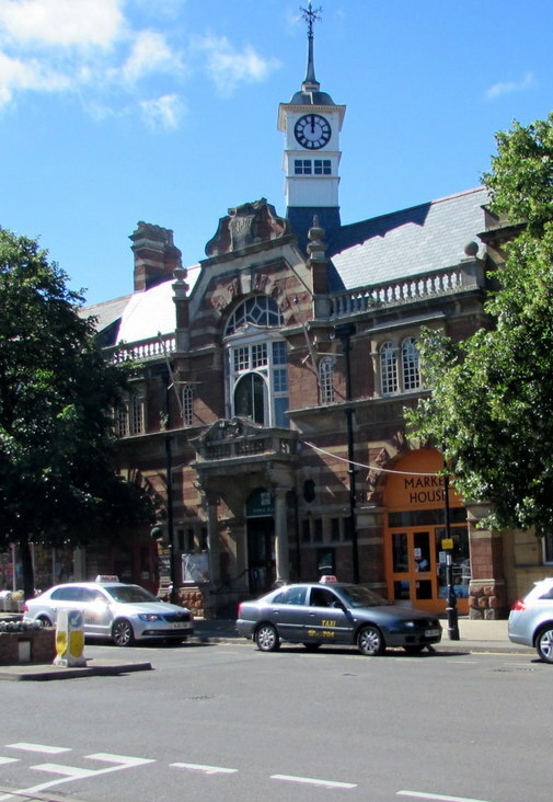
Minehead Town Hall
Minehead Town Hall is a municipal building in The Parade, Minehead, Somerset, England. The structure, which is the meeting place of Minehead Town Council...
Nearby Amenities
Located within 500m of 51.225,-3.51Have you been to Burgundy Chapel?
Leave your review of Burgundy Chapel below (or comments, questions and feedback).