Brimham Lodge

Heritage Site in Yorkshire Harrogate

England

Brimham Lodge

Farmland near Spring House Farm Looking across towards the farm in the distance from Brimham Rocks Road.
Farmland near Spring House Farm Credit: DS Pugh

Brimham Lodge is a prominent heritage site located in Yorkshire, England, known for its unique rock formations and picturesque landscapes. Situated within the Nidderdale Area of Outstanding Natural Beauty, it covers an area of approximately 50 acres and attracts thousands of visitors each year.

The lodge is renowned for its striking rock formations, which have been sculpted by natural erosion over millions of years. These formations, consisting of millstone grit, take on various shapes and sizes, resembling animals, humans, and other recognizable objects. Some of the most famous formations include the Dancing Bear, the Sphinx, and the Idol Rock. These formations have become icons of the site, capturing the imagination of visitors.

Surrounded by stunning countryside, Brimham Lodge offers breathtaking views and opportunities for outdoor activities such as hiking, picnicking, and wildlife spotting. The site features well-maintained walking trails that allow visitors to explore the area at their own pace, discovering hidden rock formations along the way. Additionally, the lodge provides facilities such as car parking, toilets, and a visitor center that offers information about the site's history and geology.

Brimham Lodge is managed by the National Trust and has been protected as a heritage site since 1953. The site's geological and cultural importance has attracted researchers and conservationists who strive to preserve its natural beauty. The lodge offers a unique experience for nature enthusiasts, geology lovers, and those seeking a tranquil retreat amidst the stunning Yorkshire countryside.

If you have any feedback on the listing, please let us know in the comments section below.

Brimham Lodge Images

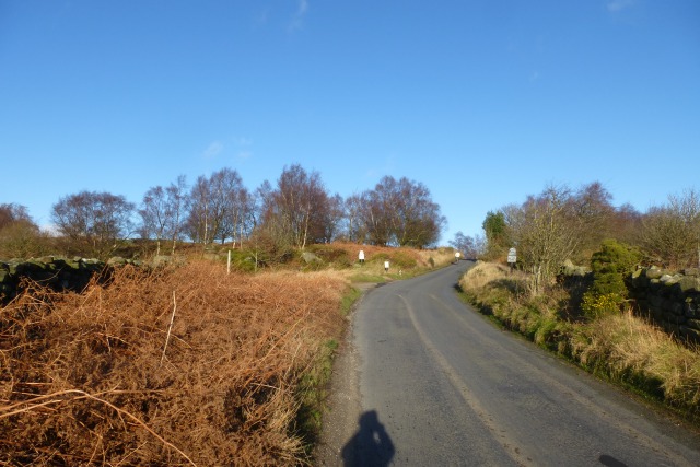
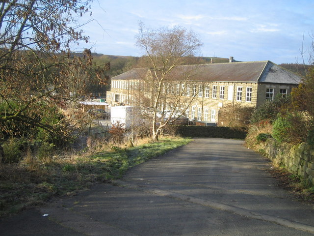
Images are sourced within 2km of 54.067/-1.657 or Grid Reference SE2263. Thanks to Geograph Open Source API. All images are credited.

Farmland near Spring House Farm Looking across towards the farm in the distance from Brimham Rocks Road.
Farmland near Spring House Farm
Looking across towards the farm in the distance from Brimham Rocks Road.
Fields in low winter sun Looking across farmland near Spring House Farm.
Fields in low winter sun
Looking across farmland near Spring House Farm.
Along Brimham Rocks Road Looking in the direction towards Burnt Yates.
Along Brimham Rocks Road
Looking in the direction towards Burnt Yates.
Farmland near Brimham Hall Farm Looking across farmland from Brimham Rocks Road.
Farmland near Brimham Hall Farm
Looking across farmland from Brimham Rocks Road.
Fiddler's Green Looking across from Brimham Rocks Road towards the farm.
Fiddler's Green
Looking across from Brimham Rocks Road towards the farm.
Fields near Kimberley House Farm Looking along Brimham Rocks Road.
Fields near Kimberley House Farm
Looking along Brimham Rocks Road.
Towards Brimham Beacon Looking over farmland towards Brimham Beacon at Brimham Rocks.
Towards Brimham Beacon
Looking over farmland towards Brimham Beacon at Brimham Rocks.
Brimham Rocks Road by the crossroads The road up to Brimham Rocks from Burnt Yates.
Brimham Rocks Road by the crossroads
The road up to Brimham Rocks from Burnt Yates.
Road near Kimberly House Farm Brimham Rocks Road approaching Brimham Rocks.
Road near Kimberly House Farm
Brimham Rocks Road approaching Brimham Rocks.
Over moorland from the entrance to Brimham Rocks Looking across the moorland below Brimham Rocks.
Over moorland from the entrance to Brimham Rocks
Looking across the moorland below Brimham Rocks.
Brimham Moor Looking across the moorland at Brimham Rocks.
Brimham Moor
Looking across the moorland at Brimham Rocks.
Millstone Grit Looking up towards some of the rocks at Brimham Rocks.
Millstone Grit
Looking up towards some of the rocks at Brimham Rocks.
Down Brimham Rocks Road The road through Brimham Rocks.
Down Brimham Rocks Road
The road through Brimham Rocks.
Riva Hill near Summerbridge A rocky summit, apparently with traces of Bronze Age activity.
Riva Hill near Summerbridge
A rocky summit, apparently with traces of Bronze Age activity.
Farmland near Summerbridge Far away are the giant golf balls ('radomes') of RAF Menwith Hill (<a href="https://www.geograph.org.uk/photo/56587">SE2057 : RAF Menwith Hill</a>) from which the NSA can monitor everything you do.
Farmland near Summerbridge
Far away are the giant golf balls ('radomes') of RAF Menwith Hill (SE2057 : RAF Menwith Hill) from which the NSA can monitor everything you do.
Riva  Hill  Farm  from  Nidderdale  Way
Riva Hill Farm from Nidderdale Way
Access  road  to  Riva  Hill  Farm The Nidderdale Way crosses here
Access road to Riva Hill Farm
The Nidderdale Way crosses here
Nidderdale  Way South east of Brimham Moor
Nidderdale Way
South east of Brimham Moor
Show me another place!

Brimham Lodge is located at Grid Ref: SE2263 (Lat: 54.067, Lng: -1.657)

Division: West Riding

Administrative County: North Yorkshire

District: Harrogate

Police Authority: North Yorkshire

What 3 Words

///surprises.sheets.viewers. Near Pateley Bridge, North Yorkshire

Nearby Locations

Brimham Lodge Burtree Hill

Related Wikis

Warsill

Warsill is a settlement and civil parish in the Harrogate district, in the county of North Yorkshire, England. It consists of a few scattered farms 5 miles...

Hartwith cum Winsley

Hartwith cum Winsley is a civil parish in Harrogate district, North Yorkshire, England. Historically it was a township in the ancient parish of Kirkby...

Brimham Rocks

Brimham Rocks, once known as Brimham Crags, is a 183.9-hectare (454-acre) biological Site of Special Scientific Interest (SSSI) and Geological Conservation...

New York, North Yorkshire

New York is a settlement in Nidderdale in the Harrogate district of North Yorkshire, England. It is on the River Nidd, near Summerbridge, and about 2...

Nearby Amenities

Located within 500m of 54.067,-1.657
Brimham Lodge Farm
Historic: house
Place: farm
Source: NPE
Lat/Long: 54.0650122/-1.6549258
Ford: yes
Lat/Long: 54.0658005/-1.6595932
Fixme: Is this Gratton Park?
Place: farm
Lat/Long: 54.0693831/-1.6538591
The data included in this document is from www.openstreetmap.org. The data is made available under ODbL.

Have you been to Brimham Lodge?

Leave your review of Brimham Lodge below (or comments, questions and feedback).