Bourne Park House

Heritage Site in Kent Canterbury

England

Bourne Park House

Telecom mast
Telecom mast Credit: N Chadwick

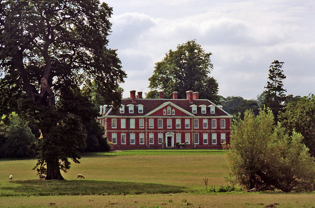
Bourne Park House, located in Kent, England, is a renowned heritage site that holds significant historical and architectural value. This Grade II* listed building is situated within a picturesque landscape, surrounded by sprawling gardens and parkland.

The house itself was constructed in the early 18th century and underwent several renovations and extensions over the years. It features a classic Georgian design, characterized by its symmetrical façade, sash windows, and ornate details. The interior of the house boasts high ceilings, intricate plasterwork, and grand reception rooms that exude a sense of elegance and opulence.

Bourne Park House is also notable for its association with important historical figures. It was once the residence of Sir Horace Mann, a diplomat and political figure who served as the British envoy to Florence, Italy, in the 18th century. Mann played a significant role in fostering cultural and diplomatic relations between the two countries.

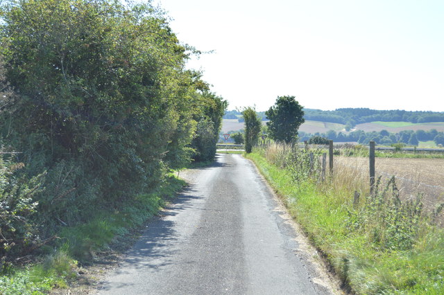
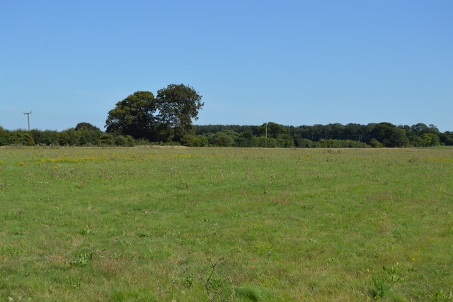
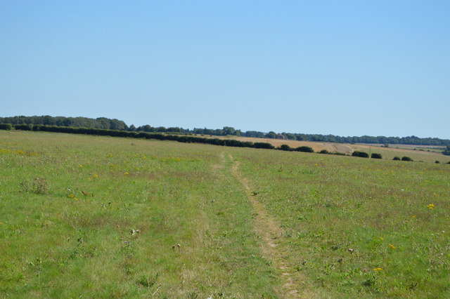
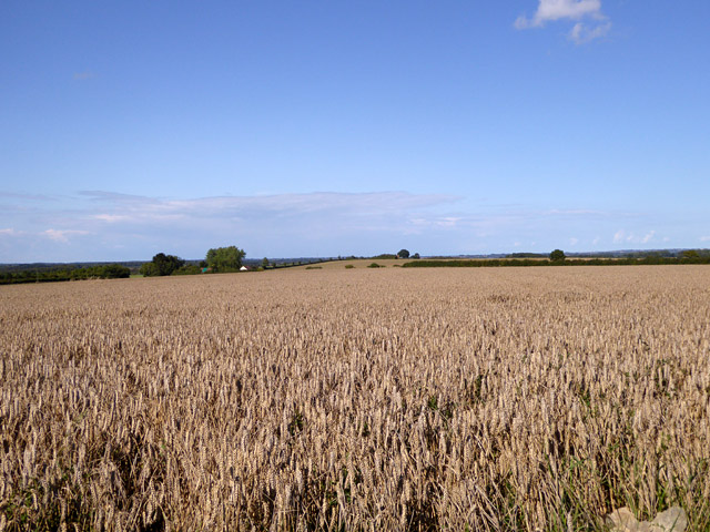
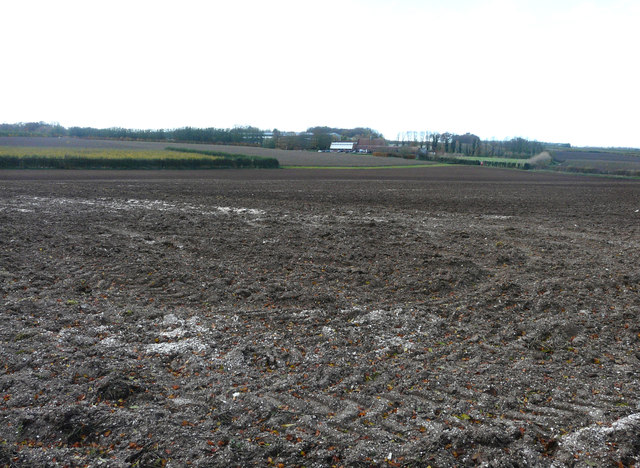
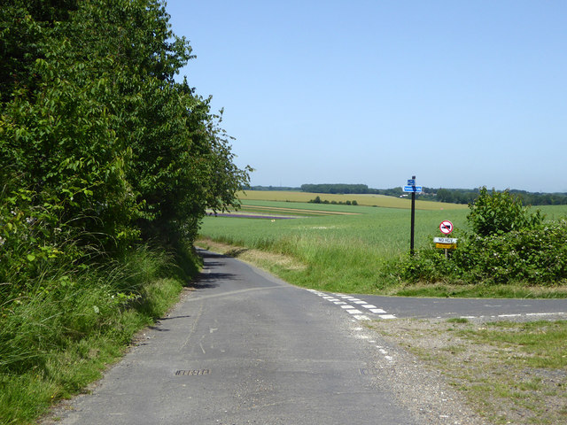
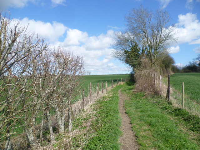
The surrounding parkland and gardens of Bourne Park House are equally impressive. The beautifully landscaped gardens feature manicured lawns, ornamental flowerbeds, and ancient trees, creating a tranquil and idyllic setting. The parkland offers visitors the opportunity to explore nature trails, enjoy picnics, and appreciate the natural beauty of the estate.

Today, Bourne Park House is privately owned and not open to the public. However, its historical and architectural significance make it a cherished heritage site, attracting visitors and historians alike, who appreciate its rich history and stunning surroundings.

If you have any feedback on the listing, please let us know in the comments section below.

Bourne Park House Images

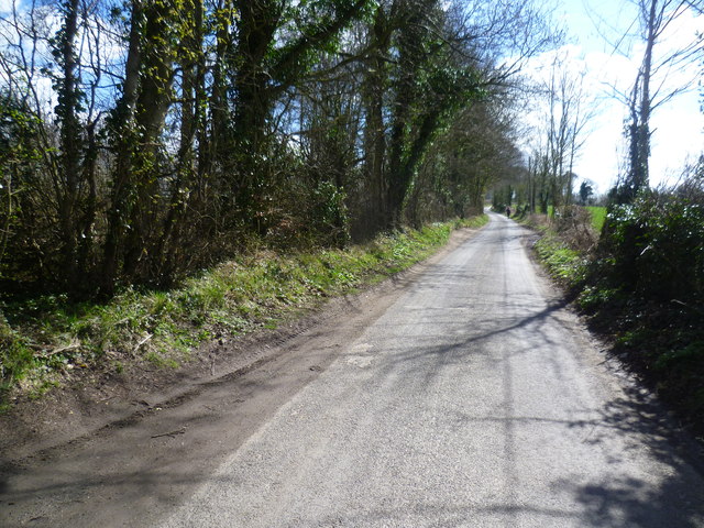
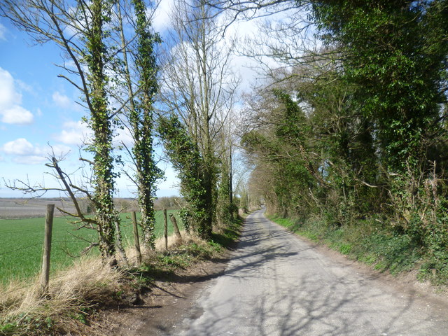
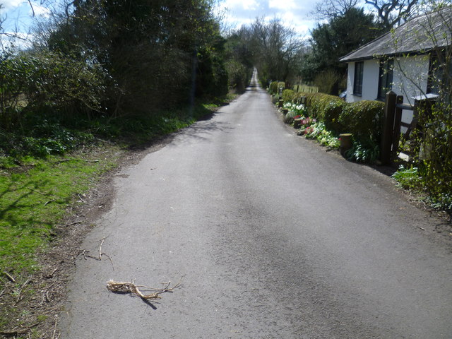
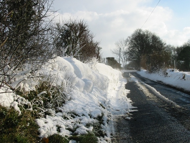
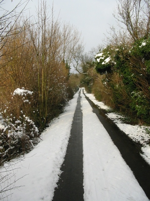
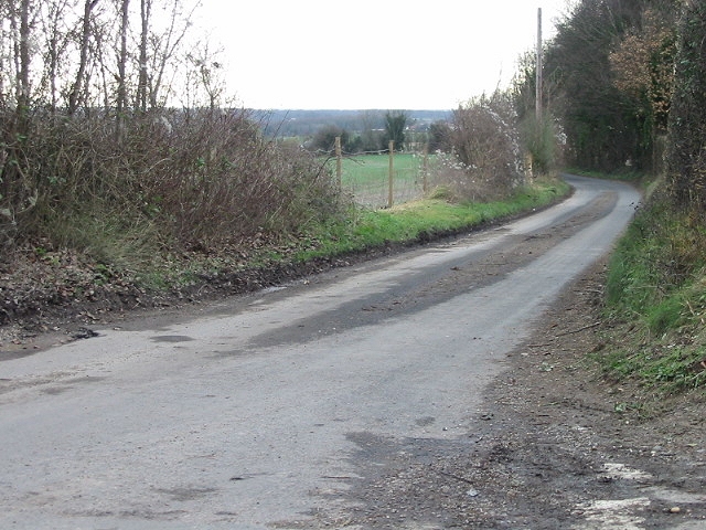
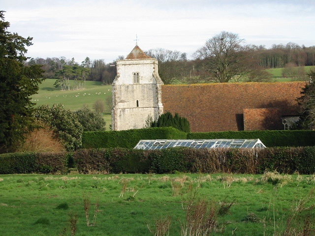
Images are sourced within 2km of 51.238/1.13 or Grid Reference TR1853. Thanks to Geograph Open Source API. All images are credited.

Telecom mast
Telecom mast
Telecom mast
Telecom mast
North Downs Way A long distance path in southern England. It runs from Farnham to Dover, past Godalming, Guildford, Dorking, Merstham, Otford and Rochester, along the Surrey Hills Area of Outstanding Natural Beauty (AONB) and Kent Downs AONB. East of Boughton Lees, the path splits in two, the northern section running via Canterbury and the southern via Wye. The two sections of the path reunite at Dover. The northern route is 211 km long, and the southern route 201 km, the total length of the North Downs Way being 246 km.
The pathway is mixed in that it varies throughout its length from footpath status to bridleway, byway and road. Some 19% of the Way follows roads, though 75% of those are minor lanes. It is marked by an acorn. See <a href="https://www.geograph.org.uk/photo/1165027">TQ6561 : Crossover in Long Distance pathways</a>.
See <span class="nowrap"><a title="http://www.nationaltrail.co.uk/Northdowns/" rel="nofollow ugc noopener" href="http://www.nationaltrail.co.uk/Northdowns/">Link</a><img style="margin-left:2px;" alt="External link" title="External link - shift click to open in new window" src="https://s1.geograph.org.uk/img/external.png" width="10" height="10"/></span> for more details and an interactive map of the trail.
North Downs Way
A long distance path in southern England. It runs from Farnham to Dover, past Godalming, Guildford, Dorking, Merstham, Otford and Rochester, along the Surrey Hills Area of Outstanding Natural Beauty (AONB) and Kent Downs AONB. East of Boughton Lees, the path splits in two, the northern section running via Canterbury and the southern via Wye. The two sections of the path reunite at Dover. The northern route is 211 km long, and the southern route 201 km, the total length of the North Downs Way being 246 km. The pathway is mixed in that it varies throughout its length from footpath status to bridleway, byway and road. Some 19% of the Way follows roads, though 75% of those are minor lanes. It is marked by an acorn. See TQ6561 : Crossover in Long Distance pathways. See LinkExternal link for more details and an interactive map of the trail.
Lane crossing the North Downs Way
Lane to the A2
Lane to the A2
Barham Downs
Barham Downs
North Downs Way A long distance path in southern England. It runs from Farnham to Dover, past Godalming, Guildford, Dorking, Merstham, Otford and Rochester, along the Surrey Hills Area of Outstanding Natural Beauty (AONB) and Kent Downs AONB. East of Boughton Lees, the path splits in two, the northern section running via Canterbury and the southern via Wye. The two sections of the path reunite at Dover. The northern route is 211 km long, and the southern route 201 km, the total length of the North Downs Way being 246 km.
The pathway is mixed in that it varies throughout its length from footpath status to bridleway, byway and road. Some 19% of the Way follows roads, though 75% of those are minor lanes. It is marked by an acorn. See <a href="https://www.geograph.org.uk/photo/1165027">TQ6561 : Crossover in Long Distance pathways</a>.
See <span class="nowrap"><a title="http://www.nationaltrail.co.uk/Northdowns/" rel="nofollow ugc noopener" href="http://www.nationaltrail.co.uk/Northdowns/">Link</a><img style="margin-left:2px;" alt="External link" title="External link - shift click to open in new window" src="https://s1.geograph.org.uk/img/external.png" width="10" height="10"/></span> for more details and an interactive map of the trail.
North Downs Way
A long distance path in southern England. It runs from Farnham to Dover, past Godalming, Guildford, Dorking, Merstham, Otford and Rochester, along the Surrey Hills Area of Outstanding Natural Beauty (AONB) and Kent Downs AONB. East of Boughton Lees, the path splits in two, the northern section running via Canterbury and the southern via Wye. The two sections of the path reunite at Dover. The northern route is 211 km long, and the southern route 201 km, the total length of the North Downs Way being 246 km. The pathway is mixed in that it varies throughout its length from footpath status to bridleway, byway and road. Some 19% of the Way follows roads, though 75% of those are minor lanes. It is marked by an acorn. See TQ6561 : Crossover in Long Distance pathways. See LinkExternal link for more details and an interactive map of the trail.
Unharvested wheat field North of the lane from Bishopsbourne to Adisham.
Unharvested wheat field
North of the lane from Bishopsbourne to Adisham.
Land at Highland Court Farm, Coldharbour Lane Planning permission was refused by Canterbury City Council under application number CA//18/01948 for a "hybrid planning application for mixed use development for leisure, commercial and tourism uses comprising: (1) A detailed planning application for a centre for sporting excellence (to include sports pitches, changing rooms, clubhouse and floodlights), business innovation centre, food and drinks hub and leisure hub; with access and associated highways works. (2) An outline planning application (with all matters reserved) for business uses, food and drinks hub, innovation centre, home farm centre, artisan offices, mixed use court and holiday homes; plus associated access, landscaping, parking and drainage infrastructure". 

The development would not have reached as far as the corner of this muddy field but it would have been a blot on the landscape, which lies within an Area of Outstanding Natural Beauty.  

Highland Court Farm <a href="https://www.geograph.org.uk/gridref/TR1953">TR1953</a> is visible in the distance.
Land at Highland Court Farm, Coldharbour Lane
Planning permission was refused by Canterbury City Council under application number CA//18/01948 for a "hybrid planning application for mixed use development for leisure, commercial and tourism uses comprising: (1) A detailed planning application for a centre for sporting excellence (to include sports pitches, changing rooms, clubhouse and floodlights), business innovation centre, food and drinks hub and leisure hub; with access and associated highways works. (2) An outline planning application (with all matters reserved) for business uses, food and drinks hub, innovation centre, home farm centre, artisan offices, mixed use court and holiday homes; plus associated access, landscaping, parking and drainage infrastructure". The development would not have reached as far as the corner of this muddy field but it would have been a blot on the landscape, which lies within an Area of Outstanding Natural Beauty. Highland Court Farm TR1953 is visible in the distance.
Shepherds Close Road Towards Patrixbourne.
Shepherds Close Road
Towards Patrixbourne.
Lane towards Bekesbourne It does not have an obvious name, but not needed for addresses, as, apart from a pillbox, it only has farmland to either side from end to end.
Lane towards Bekesbourne
It does not have an obvious name, but not needed for addresses, as, apart from a pillbox, it only has farmland to either side from end to end.
Path near Highland Court Farm This path leads from Highland Court Farm through a narrow shaw ahead to reach a lane.
Path near Highland Court Farm
This path leads from Highland Court Farm through a narrow shaw ahead to reach a lane.
Lane towards Cold Harbour Farm This quiet lane reaches a crossroads ahead and beyond passes Cold Harbour Farm before reaching the A2.
Lane towards Cold Harbour Farm
This quiet lane reaches a crossroads ahead and beyond passes Cold Harbour Farm before reaching the A2.
Lane near Cold Harbour Farm This quiet lane reaches a junction just ahead and by turning left reaches either Bekesbourne or Patrixbourne.
Lane near Cold Harbour Farm
This quiet lane reaches a junction just ahead and by turning left reaches either Bekesbourne or Patrixbourne.
A lane passes Gipsy Cottage This quiet lane comes to an abrupt and noisy end ahead where it meets the A2 dual carriageway.
A lane passes Gipsy Cottage
This quiet lane comes to an abrupt and noisy end ahead where it meets the A2 dual carriageway.
Snow drift on the Brambling road.
Bramling Road in the snow
Looking N along Brambling Road.
Show me another place!

Bourne Park House is located at Grid Ref: TR1853 (Lat: 51.238, Lng: 1.13)

Administrative County: Kent

District: Canterbury

Police Authority: Kent

What 3 Words

///chuckling.tangent.agree. Near Bridge, Kent

Related Wikis

Bourne Paddock

Bourne Paddock was a cricket ground at Bourne Park House, the seat of Sir Horatio Mann, at Bishopsbourne around 4 miles (6.4 km) south-east of Canterbury...

Bourne Park House

Bourne Park House is a Queen Anne style country house on Bourne Park Road, between Bishopsbourne and Bridge near Canterbury in Kent. Built in 1701, it...

Bridge, Kent

Bridge is a village and civil parish near Canterbury in Kent, South East England. Bridge village is in the Nailbourne valley in a rural setting on the...

Higham Park

Higham Park is a Grade II* listed neoclassical style house and gardens, located at Bridge, Kent, 3 miles (4.8 km) south of Canterbury. == History... ==

Bishopsbourne

Bishopsbourne is a mostly rural and wooded village and civil parish in Kent, England. It has two short developed sections of streets at the foot of the...

Bishopsbourne railway station

Bishopsbourne was a station on the Elham Valley Railway. It opened in 1889 and closed to passengers in 1940 and freight in 1947. == History == The station...

Bridge railway station

Bridge was a station on the Elham Valley Railway. It opened in 1889 and closed to passengers in 1940 and freight in 1947. == History == The station opened...

Patrixbourne Priory

Patrixbourne Priory was a priory in Kent, England. == References ==

Nearby Amenities

Located within 500m of 51.238,1.13
Post Box
Collection Times: Mo-Fr 09:00; Sa 17:00
Postal Code: CT4
Ref: CT4 99
Royal Cypher: EIIR
Royal Cypher Wikidata: Q33102113
Source: survey
Lat/Long: 51.2395882/1.1333614
Barrier: kissing_gate
Foot: yes
Wheelchair: no
Lat/Long: 51.2392642/1.1329681
Bus Stop
The Steps
Bench: no
Bin: no
Bus: yes
Lit: yes
Naptan AtcoCode: 2400A045160A
Naptan Bearing: SE
Naptan CommonName: The Steps
Naptan Indicator: adj
Naptan Landmark: The Steps
Naptan NaptanCode: kntdwgag
Naptan Street: Bridge Hill
Naptan Verified: no
Public Transport: platform
Ref: kntdwgag
Shelter: no
Source: naptan_import
Source Date: 2018-08-20T15:37:00
Tactile Paving: no
Lat/Long: 51.2418819/1.1307996
Bus Stop
Higham Lane
Bench: no
Bin: no
Bus: yes
Lit: no
Naptan AtcoCode: 2400A045170A
Naptan Bearing: SE
Naptan CommonName: Higham Lane
Naptan Indicator: adj
Naptan Landmark: Higham Lane
Naptan NaptanCode: kntdwgaj
Naptan Street: Bridge Hill
Naptan Verified: no
Public Transport: platform
Ref: kntdwgaj
Shelter: no
Source: naptan_import
Source Date: 2008-06-02T16:11:00
Tactile Paving: no
Lat/Long: 51.239751/1.1330588
Bus Stop
Higham Lane
Bench: yes
Bin: no
Bus: yes
Lit: no
Naptan AtcoCode: 2400A045180A
Naptan Bearing: NW
Naptan CommonName: Higham Lane
Naptan Indicator: opp
Naptan Landmark: Higham Lane
Naptan NaptanCode: kntdwgam
Naptan Street: Bridge Hill
Naptan Verified: no
Public Transport: platform
Ref: kntdwgam
Shelter: yes
Source: naptan_import
Source Date: 2018-08-20T15:36:00
Tactile Paving: no
Lat/Long: 51.2391133/1.1336311
Barrier: kissing_gate
Lat/Long: 51.2374296/1.1283517
Barrier: kissing_gate
Lat/Long: 51.239746/1.1269826
Maxspeed: 40 mph
Traffic Sign: maxspeed
Traffic Sign Direction: backward
Lat/Long: 51.2382742/1.1346956
Generator Method: photovoltaic
Generator Output Electricity: yes
Generator Source: solar
Generator Type: solar_photovoltaic_panel
Location: roof
Power: generator
Lat/Long: 51.2401742/1.1337423
Street Lamp
Survey Date: 2022-06-13
Lat/Long: 51.2394904/1.1333358
Street Lamp
Survey Date: 2022-06-16
Lat/Long: 51.2408982/1.1340212
Street Lamp
Survey Date: 2022-08-05
Lat/Long: 51.2405804/1.1343623
Street Lamp
Survey Date: 2022-08-05
Lat/Long: 51.2413261/1.1335057
Street Lamp
Survey Date: 2022-08-05
Lat/Long: 51.241755/1.1328997
Street Lamp
Survey Date: 2022-08-14
Lat/Long: 51.2419944/1.1315489
Street Lamp
Survey Date: 2022-08-14
Lat/Long: 51.2419626/1.1307059
Addr City: Bridge
Addr Housename: 1 Bridge Hill House
Addr Postcode: CT4 5AY
Addr Street: Higham Lane
Lat/Long: 51.2404548/1.1338506
Addr City: Bridge
Addr Housename: 2 Bridge Hill House
Addr Postcode: CT4 5AY
Addr Street: Higham Lane
Lat/Long: 51.2404781/1.1338213
Addr City: Bridge
Addr Housename: 3 Bridge Hill House
Addr Postcode: CT4 5AY
Addr Street: Higham Lane
Lat/Long: 51.2405062/1.13379
Addr City: Bridge
Addr Housename: 4 Bridge Hill House
Addr Postcode: CT4 5AY
Addr Street: Higham Lane
Lat/Long: 51.2405283/1.1338272
Addr City: Bridge
Addr Housename: 5 Bridge Hill House
Addr Postcode: CT4 5AY
Addr Street: Higham Lane
Lat/Long: 51.2405503/1.1338702
Addr City: Bridge
Addr Housename: 6 Bridge Hill House
Addr Postcode: CT4 5AY
Addr Street: Higham Lane
Lat/Long: 51.2405246/1.1339054
Addr City: Bridge
Addr Housename: 7 Bridge Hill House
Addr Postcode: CT4 5AY
Addr Street: Higham Lane
Lat/Long: 51.2405013/1.1339406
Direction: 150
Maxspeed: 30 mph
Traffic Sign: maxspeed
Lat/Long: 51.2417258/1.1308783
Crossing: unmarked
Lat/Long: 51.2395102/1.1332304
Crossing
Crossing: unmarked
Crossing Island: no
Crossing Markings: no
Kerb: lowered
Tactile Paving: no
Lat/Long: 51.2391331/1.133666
Direction: 145
Maxspeed: 40 mph
Traffic Sign: maxspeed
Lat/Long: 51.2391311/1.1336743
Direction: 325
Maxspeed: 40 mph
Traffic Sign: maxspeed
Lat/Long: 51.2396912/1.1331326
Bridge
Direction: 150
Traffic Sign: city_limit
Lat/Long: 51.2417238/1.1308724
Direction: 150
Maxspeed: 30 mph
Traffic Sign: maxspeed
Lat/Long: 51.2417314/1.1308915
Power: substation
Lat/Long: 51.241709/1.1309924
Generator Method: photovoltaic
Generator Output Electricity: yes
Generator Source: solar
Generator Type: solar_photovoltaic_panel
Location: roof
Power: generator
Lat/Long: 51.2400499/1.1337697
The data included in this document is from www.openstreetmap.org. The data is made available under ODbL.

Have you been to Bourne Park House?

Leave your review of Bourne Park House below (or comments, questions and feedback).