Bloreheath Battlefield
Heritage Site in Staffordshire Newcastle-under-Lyme
England
Bloreheath Battlefield
Bloreheath Battlefield is a historically significant site located in Staffordshire, England. It is widely recognized as one of the most notable battlefields from the Wars of the Roses, a series of civil wars fought in England during the 15th century.
On September 23, 1459, the Battle of Bloreheath took place at this site between the Yorkists, led by Richard Neville, Earl of Salisbury, and the Lancastrians, commanded by James Touchet, Lord Audley. The battle marked an early conflict in the Wars of the Roses, and it ultimately resulted in a Yorkist victory.
The battlefield itself is an open grassy area, covering approximately 20 acres. It retains much of its original topography, allowing visitors to gain a sense of the terrain as it would have been during the battle. There is a small monument on the site, erected in the 19th century, which commemorates the battle and provides some historical context.
Bloreheath Battlefield is of great historical importance, as it was a key engagement in the Wars of the Roses and played a significant role in shaping the future of England. It is visited by history enthusiasts, researchers, and those interested in the medieval period. The site offers a unique opportunity to explore and understand the events that unfolded during this turbulent period in English history.
If you have any feedback on the listing, please let us know in the comments section below.
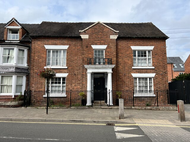
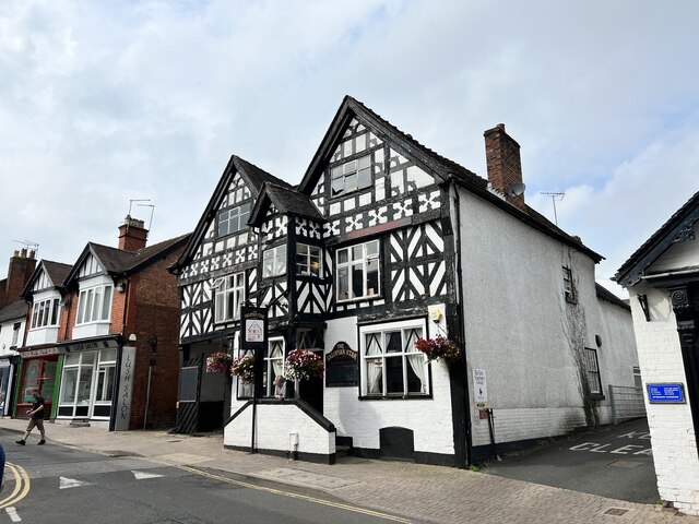
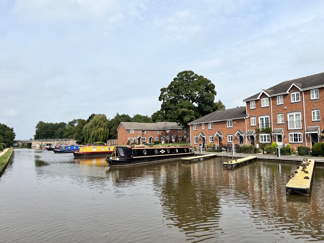
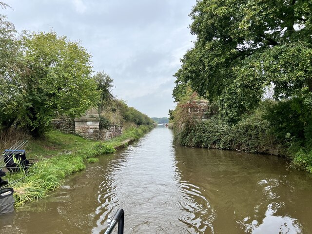
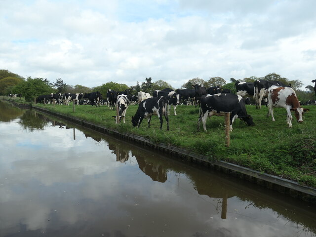
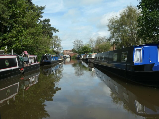
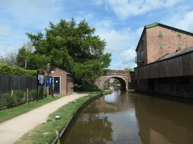
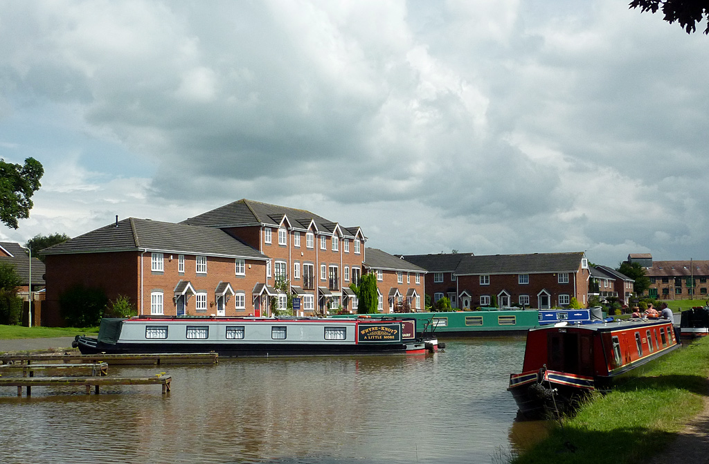
Bloreheath Battlefield Images
Images are sourced within 2km of 52.9141/-2.4621 or Grid Reference SJ7135. Thanks to Geograph Open Source API. All images are credited.


Bloreheath Battlefield is located at Grid Ref: SJ7135 (Lat: 52.9141, Lng: -2.4621)
Administrative County: Staffordshire
District: Newcastle-under-Lyme
Police Authority: Staffordshire
What 3 Words
///cupboards.bouncing.comply. Near Market Drayton, Shropshire
Nearby Locations
Related Wikis

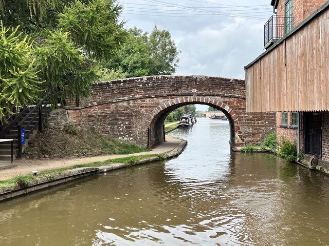
Birmingham and Liverpool Junction Canal
The Birmingham and Liverpool Junction Canal was a canal in England which ran from Nantwich, where it joined the Chester Canal, to Autherley, where it joined...

Betton, Shropshire
Betton is a hamlet in the civil parish of Norton in Hales, in the Shropshire district, in the county of Shropshire, England.

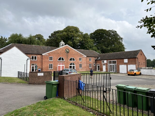
Grove School, Market Drayton
Grove School is a coeducational secondary school and sixth form located in Market Drayton, Shropshire, England.Grove School is Market Drayton's only secondary...
Oakley, Staffordshire
Oakley is a hamlet in Staffordshire, England. It is within Mucklestone ward of Loggerheads Parish. Oakley Hall, a former seat of the Chetwode family, is...
Market Drayton Rural District
Drayton or Market Drayton was a rural district in Shropshire, England from 1894 to 1974. It was created by the Local Government Act 1894 under the name...
Market Drayton
Market Drayton is a market town and electoral ward in north Shropshire, England, close to the Cheshire and Staffordshire borders. It is on the River Tern...

St Mary's Church, Market Drayton
St Mary's Church, Market Drayton, stands on the top of a prominent outcrop of red sandstone rock above the River Tern. The church is recorded in the National...

Market Drayton railway station
Market Drayton railway station served the town of Market Drayton in Shropshire, England, between 1863 and 1963. It was at the junction where three railway...
Nearby Amenities
Located within 500m of 52.9141,-2.4621Have you been to Bloreheath Battlefield?
Leave your review of Bloreheath Battlefield below (or comments, questions and feedback).