Belowda Beacon
Heritage Site in Cornwall
England
Belowda Beacon

Belowda Beacon is a historical heritage site located in Cornwall, England. Situated atop a prominent hill, it offers breathtaking panoramic views of the surrounding countryside and the picturesque Cornish coast.
The beacon itself is a stone structure that was originally built as a signaling tower in the 19th century. It served as a vital communication point during times of conflict and was used to alert nearby towns and villages of any imminent danger. Over the years, it has become an iconic landmark and a symbol of Cornwall's rich history.
The site is also home to a small museum that showcases artifacts and displays detailing the area's past. Visitors can learn about the beacon's significance and the role it played in protecting the region from potential threats. The museum offers a fascinating glimpse into the lives of the people who once inhabited the area and their struggles to protect their homeland.
In addition to its historical importance, Belowda Beacon is a popular destination for outdoor enthusiasts. The surrounding countryside is ideal for hiking and nature walks, offering trails that wind through lush green fields and woodlands. The views from the summit are particularly breathtaking, making it a favorite spot for photographers and artists.
Belowda Beacon is an important heritage site in Cornwall, providing a window into the region's past and offering visitors a chance to immerse themselves in its natural beauty. Whether exploring the museum or taking in the stunning views, a visit to Belowda Beacon is a must for anyone interested in history or seeking a peaceful retreat in the heart of Cornwall.
If you have any feedback on the listing, please let us know in the comments section below.
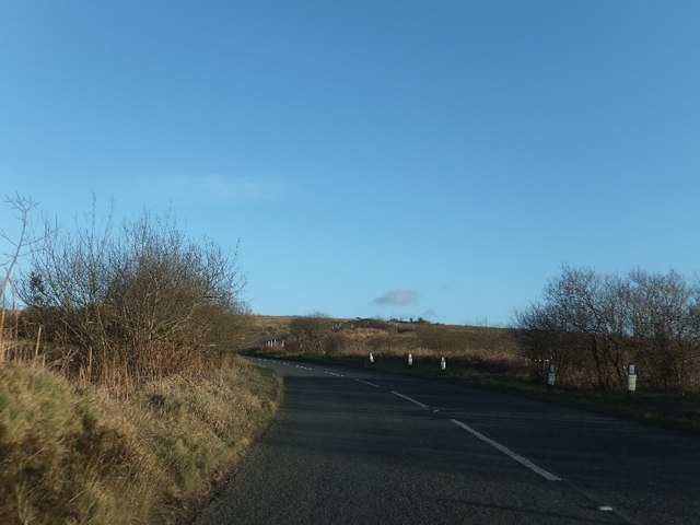
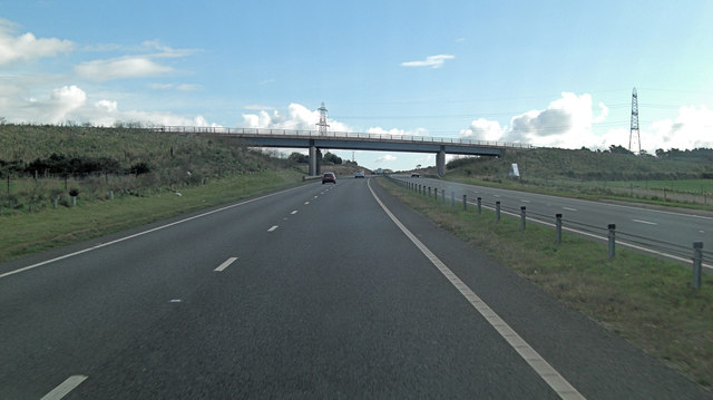
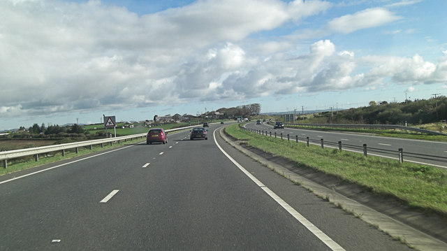
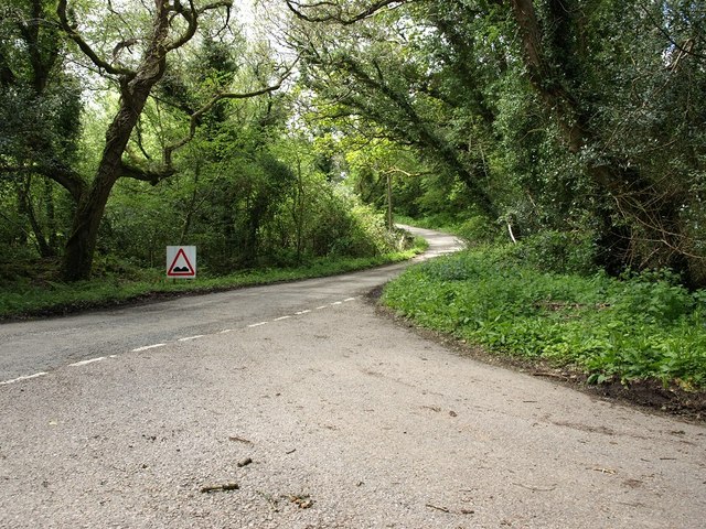
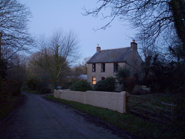
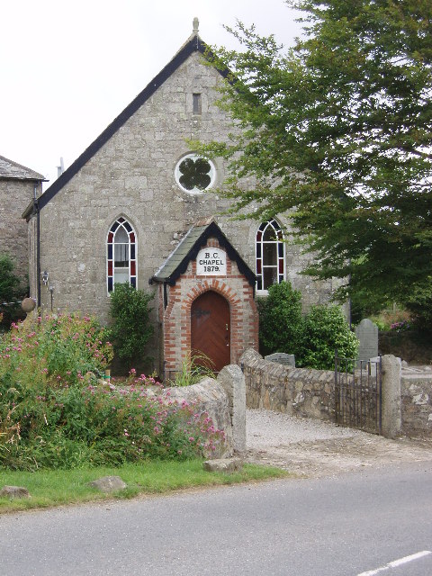
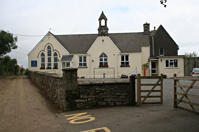
Belowda Beacon Images
Images are sourced within 2km of 50.427/-4.8575 or Grid Reference SW9762. Thanks to Geograph Open Source API. All images are credited.


Belowda Beacon is located at Grid Ref: SW9762 (Lat: 50.427, Lng: -4.8575)
Unitary Authority: Cornwall
Police Authority: Devon and Cornwall
What 3 Words
///ashes.flickers.helpful. Near Roche, Cornwall
Nearby Locations
Related Wikis

Belowda
Belowda (Cornish: Boslowsa) is a village in Cornwall, England, UK. The village is just north of the A30 trunk road, about seven miles west-southwest of...
Demelza
Demelza is a hamlet in the parish of St Wenn, Cornwall, England, UK. Demelza is situated 1 mile (1.6 km) south-east of St Wenn and lies at around 114...
Lower Brynn
Lower Brynn is a hamlet in the parish of Withiel, Cornwall, England, UK. Lower Brynn is approximately 5 miles (8.0 km) south-west of Bodmin. == References ==

Victoria, Cornwall
Victoria is a hamlet in Cornwall, England, UK. It is located in the civil parish of Roche, 1 mile (1.6 km) north of Roche village and 6 miles (9.7 km)...

Tregoss
Tregoss is a hamlet in the parish of Roche, Cornwall, England, United Kingdom. To the east is Tregoss Moor. == References ==
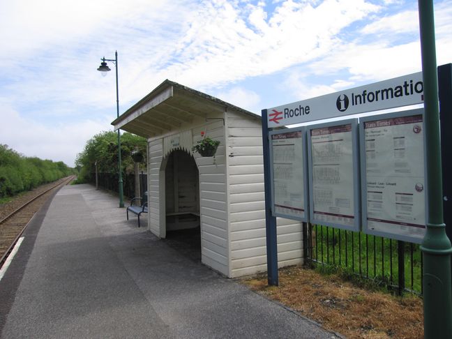
Roche railway station
Roche railway station (Cornish: Tregarrek) serves the village of Roche in Cornwall, England. The station is situated on the Atlantic Coast Line, 290 miles...
Tregonetha
Tregonetha is a village in Cornwall, England, UK. It is located in the civil parish of St Wenn, 7 miles (11 km) west of the town of Bodmin.Tregonetha Downs...
St Wenn
St Wenn (Cornish: Sen Gwenna) is a civil parish and village in Cornwall, England, United Kingdom. The village is situated six miles (10 km) west of Bodmin...
Nearby Amenities
Located within 500m of 50.427,-4.8575Have you been to Belowda Beacon ?
Leave your review of Belowda Beacon below (or comments, questions and feedback).