Bellister

Heritage Site in Northumberland

England

Bellister

Waterfall on Park Burn
Waterfall on Park Burn Credit: Les Hull

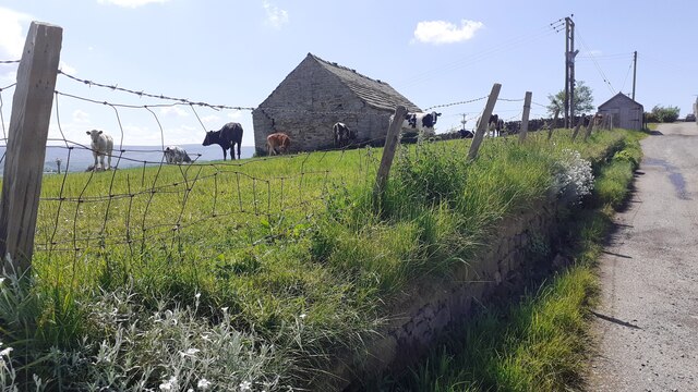
Bellister is a heritage site located in the county of Northumberland, England. Situated near the village of Haltwhistle, it is renowned for its historic and architectural significance. The site encompasses Bellister Castle, a fortified manor house dating back to the 14th century.

The castle, built during the medieval period, served as a defensive stronghold against Scottish raids. It features a square tower, surrounded by a curtain wall with arrow slits and a gatehouse. The castle underwent several modifications throughout the centuries, including the addition of a Jacobean wing in the 17th century.

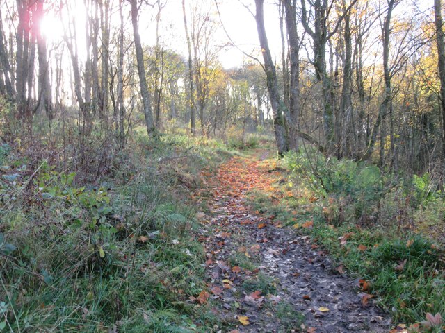
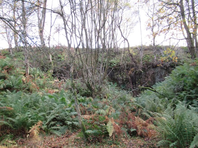
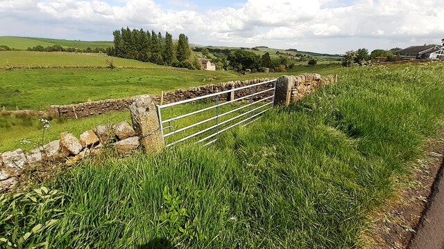
The surrounding landscape is equally captivating, with picturesque gardens and a tranquil moat that adds to the castle's charm. The gardens showcase a variety of plant species, including ancient yew trees and vibrant flower beds. The tranquil moat provides a serene backdrop for visitors to enjoy a leisurely stroll.

In addition to its architectural and natural beauty, Bellister boasts a rich history. The castle has witnessed significant events, such as the Jacobite Rebellion in the 18th century. It has also been associated with notable figures, including the infamous Border Reivers who roamed the English-Scottish border.

Today, Bellister is open to the public, offering guided tours that delve into its fascinating past. Visitors can explore the castle's interior, where they will find well-preserved original features, including fireplaces, oak paneling, and ornate ceilings. The site provides an immersive experience, allowing visitors to step back in time and gain insight into the region's turbulent history.

Overall, Bellister in Northumberland is a captivating heritage site that combines architectural splendor, natural beauty, and captivating history, making it a must-visit destination for history enthusiasts and nature lovers alike.

If you have any feedback on the listing, please let us know in the comments section below.
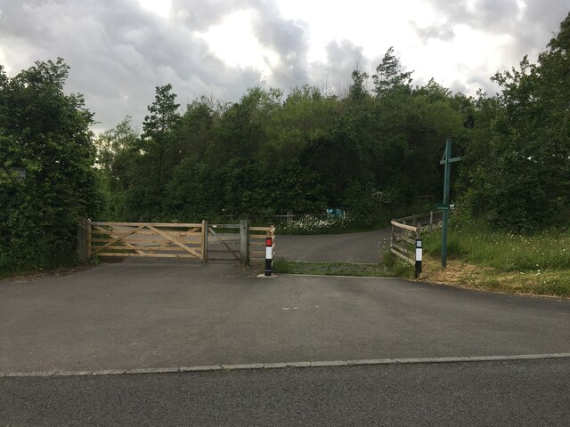
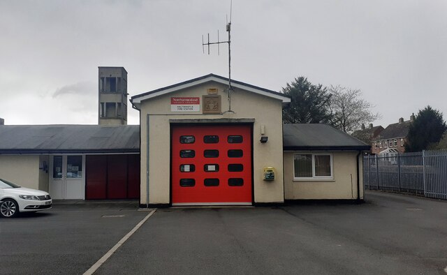
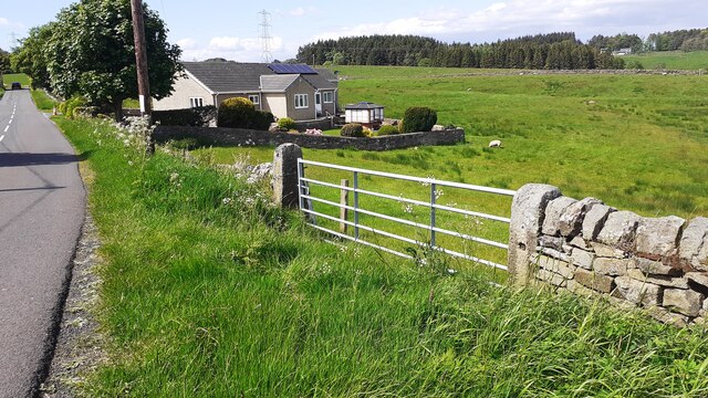
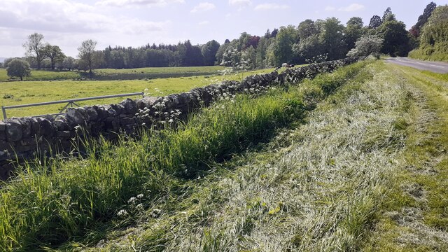
Bellister Images

Images are sourced within 2km of 54.962/-2.472 or Grid Reference NY6963. Thanks to Geograph Open Source API. All images are credited.

Waterfall on Park Burn
Park Burnfoot Farm
Park Burnfoot Farm
Footpath through North Wood
View towards River South Tyne
Disused Quarry
Disused Quarry
River South Tyne
River South Tyne
River South Tyne
River South Tyne
Footpath through Bellister Bank Wood
Road to Wydon Farm
Road to Wydon Farm
Minor road near Broomhouse
Road junction near Park Village
Caravan Site near Haltwhistle
Haltwhistle Fire Station (Northumberland County Council)  on south side of Park Street
Haltwhistle Fire Station (Northumberland County Council) on south side of Park Street
Gateway and house on NE side of road west of Comb Hill
Cows in field on south side of road west of Haltwhistle
Barn and cows in field opposite Fir Tree Cottage
View through field gateway on northeast side of Comb Hill Road
Benchmark on #4 Park Road Park Road according to Ordnance Survey records, but I think it may be Westlands. Ordnance Survey cut mark benchmark levelled at 127.093m above Newlyn Datum verified 1954
Benchmark on #4 Park Road
Park Road according to Ordnance Survey records, but I think it may be Westlands. Ordnance Survey cut mark benchmark levelled at 127.093m above Newlyn Datum verified 1954
Show me another place!

Bellister is located at Grid Ref: NY6963 (Lat: 54.962, Lng: -2.472)

What 3 Words

///snaps.traps.delays. Near Haltwhistle, Northumberland

Nearby Locations

Bellister

Related Wikis

Tipalt Burn

Tipalt Burn is a burn which lies to the east of Greenhead, Northumberland. The burn passes several historical sites such as Thirlwall Castle and discharges...

Bellister Castle

Bellister Castle is a National Trust owned castellated 19th-century mansion house attached to the ruinous remains of a 14th-century tower house, near...

Haltwhistle railway station

Haltwhistle is a railway station on the Tyne Valley Line, which runs between Newcastle and Carlisle via Hexham. The station, situated 22 miles 66 chains...

Burnfoot River Shingle and Wydon Nabb

Burnfoot River Shingle and Wydon Nabb is the name given to a Site of Special Scientific Interest (SSSI) in Northumberland, North East England. Burnfoot...

Haltwhistle War Memorial Hospital

Haltwhistle War Memorial Hospital is a health facility at Greencroft Park, Haltwhistle, Northumberland, England. It is managed by Northumbria Healthcare...

Haltwhistle

Haltwhistle is a market town and civil parish in Northumberland, England, 22.9 miles (36.9 kilometres) east of Carlisle and 36.8 miles (59.2 kilometres...

Haltwhistle Castle

Haltwhistle Castle Hill is a ruined Norman earth and timber ringwork fortress in Haltwhistle, Northumberland, England. There are no extant stone remains...

Plenmeller

Plenmeller is a village and former civil parish, now in the parish of Plenmeller with Whitfield, in Northumberland, England about a mile (1½ km) southeast...

Nearby Amenities

Located within 500m of 54.962,-2.472
Bus Stop
Wydon Lane (westbound)
Bus: yes
Public Transport: platform
Lat/Long: 54.9659661/-2.4708583
Bellister Estate
Operator: national_trust
Place: locality
Lat/Long: 54.9631427/-2.4681492
Turning Circle
Lat/Long: 54.9650727/-2.4768283
Speed Camera
Lat/Long: 54.9659171/-2.4715084
Bus Stop
Industrial Estate (West bound)
Bench: yes
Bus: yes
Departures Board: timetable
Passenger Information Display: no
Public Transport: platform
Shelter: yes
Lat/Long: 54.965704/-2.474083
Bus Stop
Industrial Esate (east bound)
Bus: yes
Public Transport: platform
Shelter: yes
Lat/Long: 54.9657376/-2.4736437
Power: pole
Lat/Long: 54.9625148/-2.474303
Power: pole
Lat/Long: 54.9618404/-2.4698773
Power: pole
Lat/Long: 54.9618635/-2.4682358
Power: pole
Lat/Long: 54.9616748/-2.4667499
Power: pole
Lat/Long: 54.9615178/-2.4653417
Power: pole
Lat/Long: 54.9625772/-2.475864
Power: pole
Lat/Long: 54.9621429/-2.4769744
Power: pole
Lat/Long: 54.9617472/-2.4780044
Power: pole
Lat/Long: 54.9613437/-2.4790236
Give Way
Direction: backward
Lat/Long: 54.9660041/-2.4707437
Give Way
Direction: forward
Lat/Long: 54.9659531/-2.4707386
Give Way
Direction: forward
Lat/Long: 54.9656933/-2.4721324
Bus Stop
Wydon Lane (eastbound)
Bench: yes
Bus: yes
Check Date Shelter: 2023-06-21
Lit: yes
Passenger Information Display: no
Public Transport: platform
Shelter: yes
Lat/Long: 54.9661781/-2.4705169
Bench
Backrest: yes
Lat/Long: 54.9660576/-2.4709247
Bench
Backrest: yes
Lat/Long: 54.9660944/-2.4708022
Grit Bin
Lat/Long: 54.966086/-2.4708325
Bus: yes
Public Transport: stop_position
Lat/Long: 54.9661147/-2.4704597
Bus: yes
Public Transport: stop_position
Lat/Long: 54.966009/-2.4708814
Give Way
Direction: backward
Lat/Long: 54.9648184/-2.4715626
Give Way
Direction: forward
Lat/Long: 54.9647163/-2.4716403
Fixme: Unfinished
Lat/Long: 54.9633716/-2.4735107
Give Way
Direction: forward
Lat/Long: 54.9624125/-2.469948
Barrier: cattle_grid
Lat/Long: 54.9620366/-2.470355
Give Way
Direction: forward
Lat/Long: 54.9619862/-2.4702445
Barrier: stile
Lat/Long: 54.9626924/-2.4728253
Give Way
Lat/Long: 54.9623505/-2.4698143
Barrier: stile
Lat/Long: 54.9604753/-2.4653954
Bench
Lat/Long: 54.9580984/-2.4743394
Wydon Nabb
Place: locality
Lat/Long: 54.9602189/-2.4774329
Barrier: stile
Foot: yes
Lat/Long: 54.9624398/-2.4646873
Generator Method: photovoltaic
Generator Output Electricity: yes
Generator Source: solar
Generator Type: solar_photovoltaic_panel
Location: roof
Power: generator
Lat/Long: 54.9657696/-2.4706711
Generator Method: photovoltaic
Generator Output Electricity: yes
Generator Source: solar
Generator Type: solar_photovoltaic_panel
Location: roof
Power: generator
Lat/Long: 54.9658096/-2.4707087
Generator Method: photovoltaic
Generator Output Electricity: yes
Generator Source: solar
Generator Type: solar_photovoltaic_panel
Location: roof
Power: generator
Lat/Long: 54.9655632/-2.470022
Generator Method: photovoltaic
Generator Output Electricity: yes
Generator Source: solar
Generator Type: solar_photovoltaic_panel
Location: roof
Power: generator
Lat/Long: 54.965591/-2.4699898
Barrier: bollard
Bicycle: yes
Foot: yes
Horse: yes
Motor Vehicle: no
Lat/Long: 54.964587/-2.4712102
Barrier: bollard
Bicycle: yes
Foot: yes
Horse: yes
Motor Vehicle: no
Lat/Long: 54.9634155/-2.4683016
Barrier: cattle_grid
Material: metal
Lat/Long: 54.96189/-2.4735119
Bench
Source: survey;gps
Lat/Long: 54.9630907/-2.4727064
The data included in this document is from www.openstreetmap.org. The data is made available under ODbL.

Have you been to Bellister?

Leave your review of Bellister below (or comments, questions and feedback).