Belowda Beacon

Hill, Mountain in Cornwall

England

Belowda Beacon

Former tile warehouse This tile warehouse was one of several outlets in a small retail park alongside the "old A30".  Some of the outlets have closed following the decline in passing trade following the construction of a dual carriageway for the A30 which bypasses the frontage.
Former tile warehouse Credit: David Smith

The requested URL returned error: 429 Too Many Requests

If you have any feedback on the listing, please let us know in the comments section below.

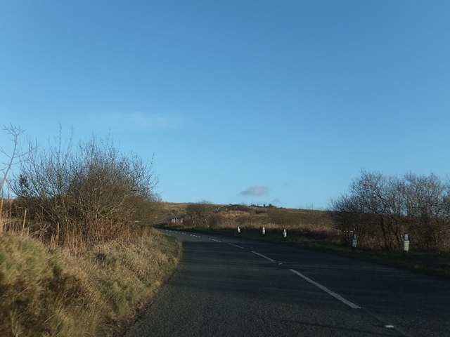
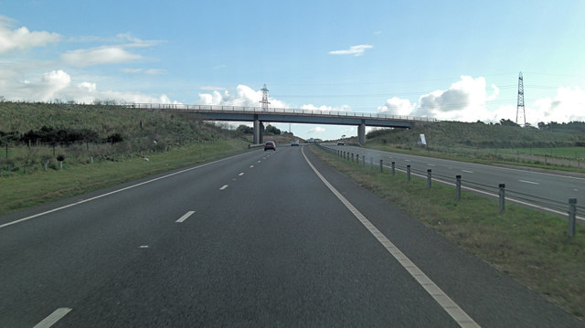
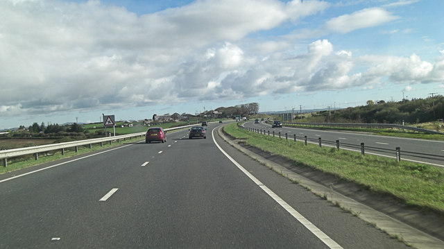
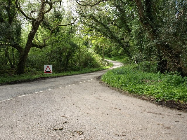
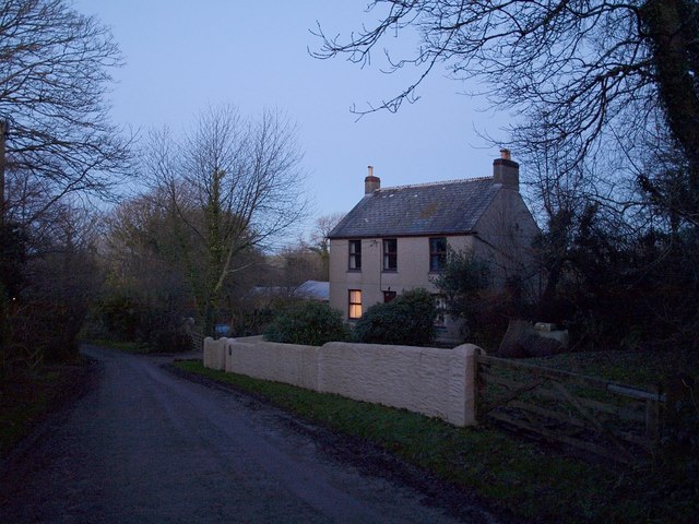
Belowda Beacon Images

Images are sourced within 2km of 50.427506/-4.8575154 or Grid Reference SW9762. Thanks to Geograph Open Source API. All images are credited.

Former tile warehouse This tile warehouse was one of several outlets in a small retail park alongside the "old A30".  Some of the outlets have closed following the decline in passing trade following the construction of a dual carriageway for the A30 which bypasses the frontage.
Former tile warehouse
This tile warehouse was one of several outlets in a small retail park alongside the "old A30". Some of the outlets have closed following the decline in passing trade following the construction of a dual carriageway for the A30 which bypasses the frontage.
Restormel : Grassy Fields & Pylons Pylons travel along a field near to Belowda as seen from the A30.
Restormel : Grassy Fields & Pylons
Pylons travel along a field near to Belowda as seen from the A30.
B3274 on Tregonetha Downs
Junction off B3274 on Tregonetha Downs
Former mine building west of Belowda Beacon
Footpath to Belowda The skyline has some of the spoil heaps from the china clay industry
Footpath to Belowda
The skyline has some of the spoil heaps from the china clay industry
B3274 on the south slope of Belowda Beacon  Just beyond the road marking is the entrance to an abandoned mine (Beacon Mine).
B3274 on the south slope of Belowda Beacon
Just beyond the road marking is the entrance to an abandoned mine (Beacon Mine).
B3274 approaching Tregoss Moor The road is dropping to the flat moorland.  It crosses a minor road near Lane End, then under power cables before crossing the dual carriageway A30.  A landscaped china clay tip is visible on the  right horizon.
B3274 approaching Tregoss Moor
The road is dropping to the flat moorland. It crosses a minor road near Lane End, then under power cables before crossing the dual carriageway A30. A landscaped china clay tip is visible on the right horizon.
Bridge over railway line on Tregoss Moor
B3274 on southern edge of Tregoss Moor The road rises from the moor to pass Treranke Cottages behind the tall trees on the right.
B3274 on southern edge of Tregoss Moor
The road rises from the moor to pass Treranke Cottages behind the tall trees on the right.
Footpath leading south from the old A30 on Goss Moor The path leads to Tregoss.
Footpath leading south from the old A30 on Goss Moor
The path leads to Tregoss.
The old A30 approaching the bridge over the new A30 For many years, the A30 on Goss Moor was a bottleneck for traffic through Cornwall.  Now the new A30 by-passes the moorland and the old road crosses the new on this bridge.
The old A30 approaching the bridge over the new A30
For many years, the A30 on Goss Moor was a bottleneck for traffic through Cornwall. Now the new A30 by-passes the moorland and the old road crosses the new on this bridge.
Old A30 crossing the new A30 To the north of the roads are pylons for the National Grid
Old A30 crossing the new A30
To the north of the roads are pylons for the National Grid
A30 crossed by unnamed road east of Trenoweth
A30 crossed by B3274
A30 north of Victoria
The lane to Demelza This junction is at the bottom of a dense, damp strip of woodland, the air in which was full of small flies when this picture was taken.
The lane to Demelza
This junction is at the bottom of a dense, damp strip of woodland, the air in which was full of small flies when this picture was taken.
A30 near Roche
A30 near Roche
Show me another place!

Belowda Beacon is located at Grid Ref: SW9762 (Lat: 50.427506, Lng: -4.8575154)

Unitary Authority: Cornwall

Police Authority: Devon and Cornwall

What 3 Words

///elect.savers.bliss. Near Roche, Cornwall

Related Wikis

Belowda

Belowda (Cornish: Boslowsa) is a village in Cornwall, England, UK. The village is just north of the A30 trunk road, about seven miles west-southwest of...

Demelza

Demelza is a hamlet in the parish of St Wenn, Cornwall, England, UK. Demelza is situated 1 mile (1.6 km) south-east of St Wenn and lies at around 114...

Lower Brynn

Lower Brynn is a hamlet in the parish of Withiel, Cornwall, England, UK. Lower Brynn is approximately 5 miles (8.0 km) south-west of Bodmin. == References ==

Victoria, Cornwall

Victoria is a hamlet in Cornwall, England, UK. It is located in the civil parish of Roche, 1 mile (1.6 km) north of Roche village and 6 miles (9.7 km)...

Nearby Amenities

Located within 500m of 50.427506,-4.8575154
Belowda Beacon
Place: locality
Lat/Long: 50.4275632/-4.8577246
Belowda Beacon
Description: OS trig pillar
Ele: 226.771
Man Made: survey_point
Note: Accurate location import for imagery offset calibration. Please do not move.
Ref: SX06/T2
Source: Ordnance Survey (OGL)
Survey Point: pillar
Lat/Long: 50.427543/-4.8575734
The data included in this document is from www.openstreetmap.org. The data is made available under ODbL.

Have you been to Belowda Beacon?

Leave your review of Belowda Beacon below (or comments, questions and feedback).