Belas Knap

Heritage Site in Gloucestershire Tewkesbury

England

Belas Knap

Winchcombe Cricket Club It appears to be part of the Corndean estate, a little out of the town.
Winchcombe Cricket Club Credit: Bill Boaden

Belas Knap is an ancient burial mound located in Gloucestershire, England. It is considered one of the most well-preserved and impressive Neolithic long barrows in the country, making it a significant heritage site. The mound is situated on the Cotswold escarpment, overlooking the picturesque Winchcombe Valley.

Belas Knap dates back to around 3,800 to 3,500 BC, making it over 5,000 years old. It was built by early farming communities as a communal burial ground, where the remains of multiple individuals were interred. The barrow is constructed from limestone and measures approximately 55 meters in length, with a distinctive crescent-shaped forecourt at the front.

Archaeological excavations of Belas Knap have revealed the presence of numerous human remains, pottery fragments, and other artifacts. The layout of the burial chamber suggests a complex ritualistic burial process, highlighting the significance of the site to its ancient builders.

Today, Belas Knap is open to the public and managed by English Heritage. Visitors can explore the site and learn about its rich history through information panels and guided tours. The mound offers stunning views of the surrounding countryside, making it a popular destination for nature enthusiasts and history lovers alike.

Belas Knap is not only a testament to the ingenuity and craftsmanship of its Neolithic builders but also provides valuable insights into the social and cultural practices of the time. As an important heritage site, it contributes to our understanding of the ancient past and serves as a reminder of the enduring legacy of early human civilizations.

If you have any feedback on the listing, please let us know in the comments section below.
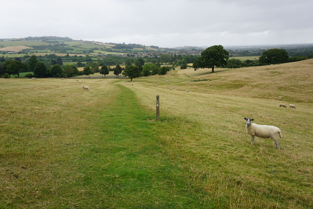
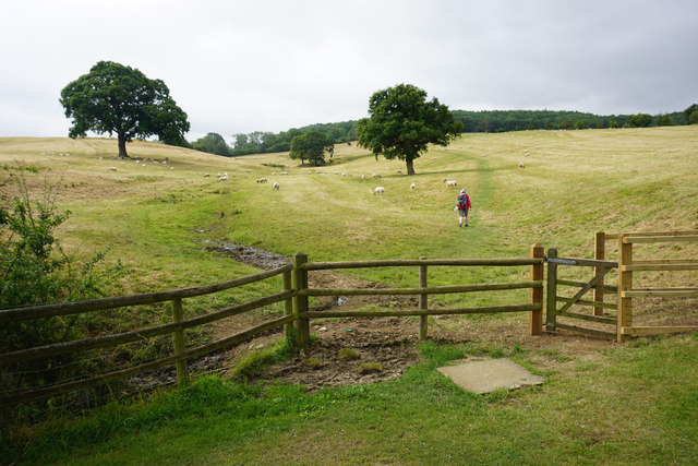
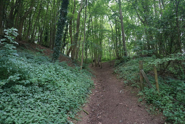
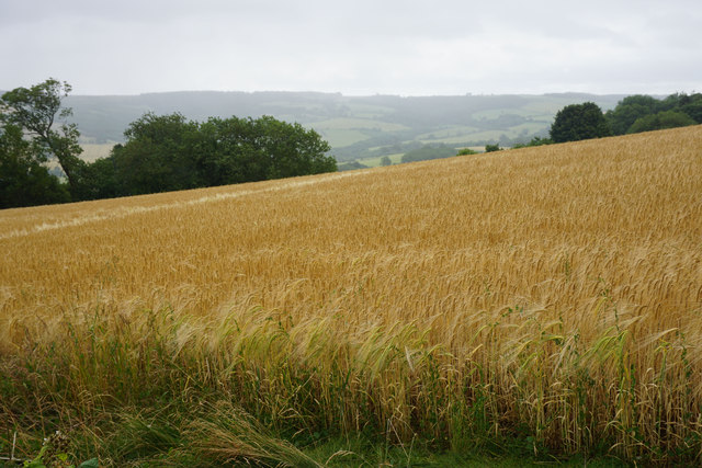
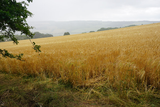
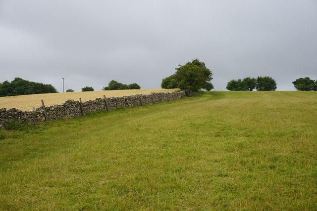
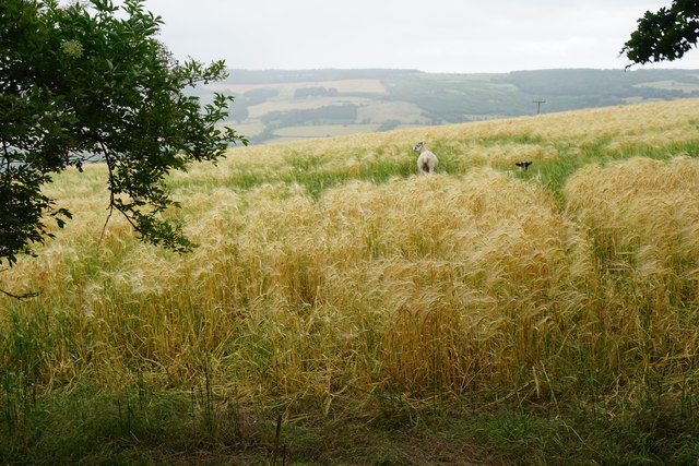
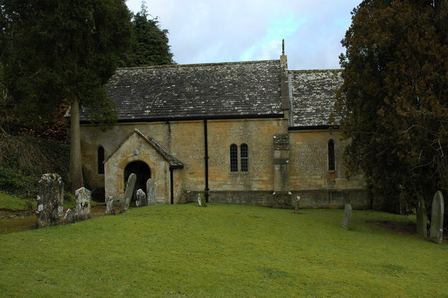
Belas Knap Images

Images are sourced within 2km of 51.928/-1.963 or Grid Reference SP0225. Thanks to Geograph Open Source API. All images are credited.

Winchcombe Cricket Club It appears to be part of the Corndean estate, a little out of the town.
Winchcombe Cricket Club
It appears to be part of the Corndean estate, a little out of the town.
The Cotswold Way above Winchcombe The path is on the slope of the escarpment, with Winchcombe visible ahead. The sheep are on the Corndean estate.
The Cotswold Way above Winchcombe
The path is on the slope of the escarpment, with Winchcombe visible ahead. The sheep are on the Corndean estate.
The Cotswold Way leaving the Isbourne valley There is a steady climb through a large sheep field which belongs to the Corndean estate.
The Cotswold Way leaving the Isbourne valley
There is a steady climb through a large sheep field which belongs to the Corndean estate.
Woodland path near Corndean Hall Continuing the steady climb up from Winchcombe along the Cotswold Way.
Woodland path near Corndean Hall
Continuing the steady climb up from Winchcombe along the Cotswold Way.
Private woodland near Corndean Hall The Cotswold way has to do some sharp angles to negotiate this part of the climb from Winchcombe, avoiding private land.
Private woodland near Corndean Hall
The Cotswold way has to do some sharp angles to negotiate this part of the climb from Winchcombe, avoiding private land.
Hillside barley field A rain shower is passing in the valley beyond.
Hillside barley field
A rain shower is passing in the valley beyond.
Barley field above Humblebee Cottages Seen during a rain shower.
Barley field above Humblebee Cottages
Seen during a rain shower.
The Cotswold Way near Belas Knap This is almost the top of the hill after quite a long climb from Winchcombe.
The Cotswold Way near Belas Knap
This is almost the top of the hill after quite a long climb from Winchcombe.
Sheep in a barley field near Belas Knap You feel that they weren't supposed to be there.
Sheep in a barley field near Belas Knap
You feel that they weren't supposed to be there.
Woodland path near Belas Knap Part of the Cotswold Way. It runs along the top of the escarpment which falls away to the right through the woods.
Woodland path near Belas Knap
Part of the Cotswold Way. It runs along the top of the escarpment which falls away to the right through the woods.
Belas Knap A neolithic long barrow. The remains of 31 people were found in it during the Victorian excavations.
Belas Knap
A neolithic long barrow. The remains of 31 people were found in it during the Victorian excavations.
Field of oats near Belas Knap The long barrow can be seen straight ahead. the path incorporates the Cotswold Way and the Winchcombe Way.
Field of oats near Belas Knap
The long barrow can be seen straight ahead. the path incorporates the Cotswold Way and the Winchcombe Way.
Sheep in long grass Near 300m above sea level, part of a large plateau around Cleeve Hill.
Sheep in long grass
Near 300m above sea level, part of a large plateau around Cleeve Hill.
Ramshackle gate and a field of oats As the fields have got larger, fewer gates are needed. This is a large plateau of farmland, but it falls away to the right towards West Wood.
Ramshackle gate and a field of oats
As the fields have got larger, fewer gates are needed. This is a large plateau of farmland, but it falls away to the right towards West Wood.
Track to Wontley Farm This used to be part of the Cotswold Way, but that has now been diverted through Breakheart Plantation instead.
Track to Wontley Farm
This used to be part of the Cotswold Way, but that has now been diverted through Breakheart Plantation instead.
Track nearly at Wontley Farm Formerly part of the Cotswold Way. One of the farm buildings can be seen in the indentation ahead.
Track nearly at Wontley Farm
Formerly part of the Cotswold Way. One of the farm buildings can be seen in the indentation ahead.
Lower edge of a field of oats To the left can be seen an indentation which was an old quarry. It is now completely surrounded by the field.
Lower edge of a field of oats
To the left can be seen an indentation which was an old quarry. It is now completely surrounded by the field.
Track near Wontley Farm This used to be the route of the Cotswold Way. Up ahead can be seen a footpath sign, where it now leaves this track towards Breakheart Plantation.
Track near Wontley Farm
This used to be the route of the Cotswold Way. Up ahead can be seen a footpath sign, where it now leaves this track towards Breakheart Plantation.
Show me another place!

Belas Knap is located at Grid Ref: SP0225 (Lat: 51.928, Lng: -1.963)

Administrative County: Gloucestershire

District: Tewkesbury

Police Authority: Gloucestershire

What 3 Words

///whizzed.noisy.beauty. Near Winchcombe, Gloucestershire

Related Wikis

Have you been to Belas Knap ?

Leave your review of Belas Knap below (or comments, questions and feedback).