Black Barn Plantation

Wood, Forest in Gloucestershire Tewkesbury

England

Black Barn Plantation

Winchcombe Cricket Club It appears to be part of the Corndean estate, a little out of the town.
Winchcombe Cricket Club Credit: Bill Boaden

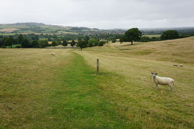
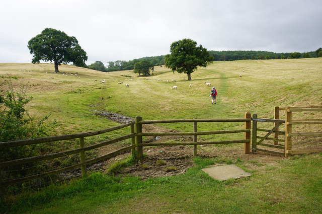
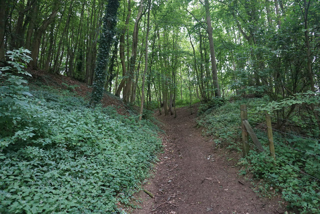
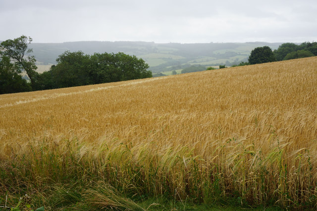
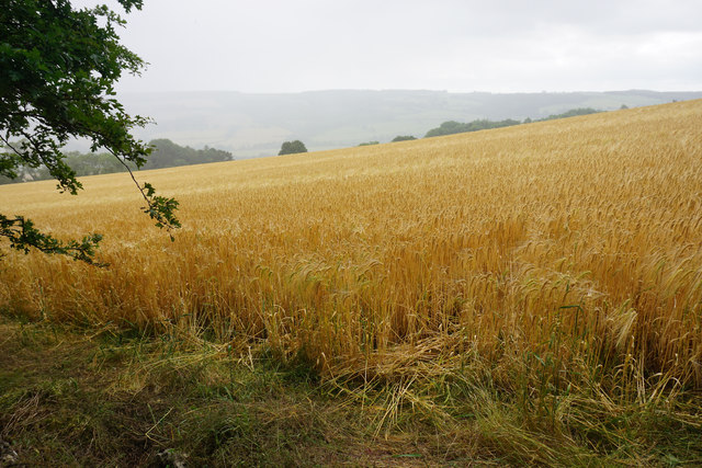
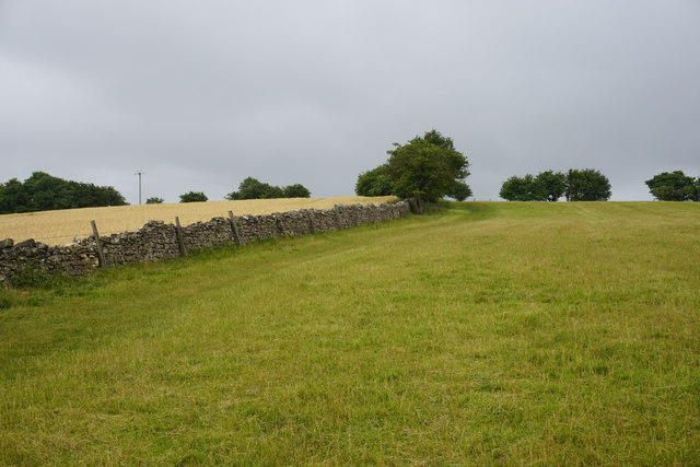
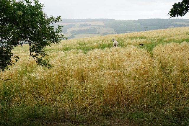
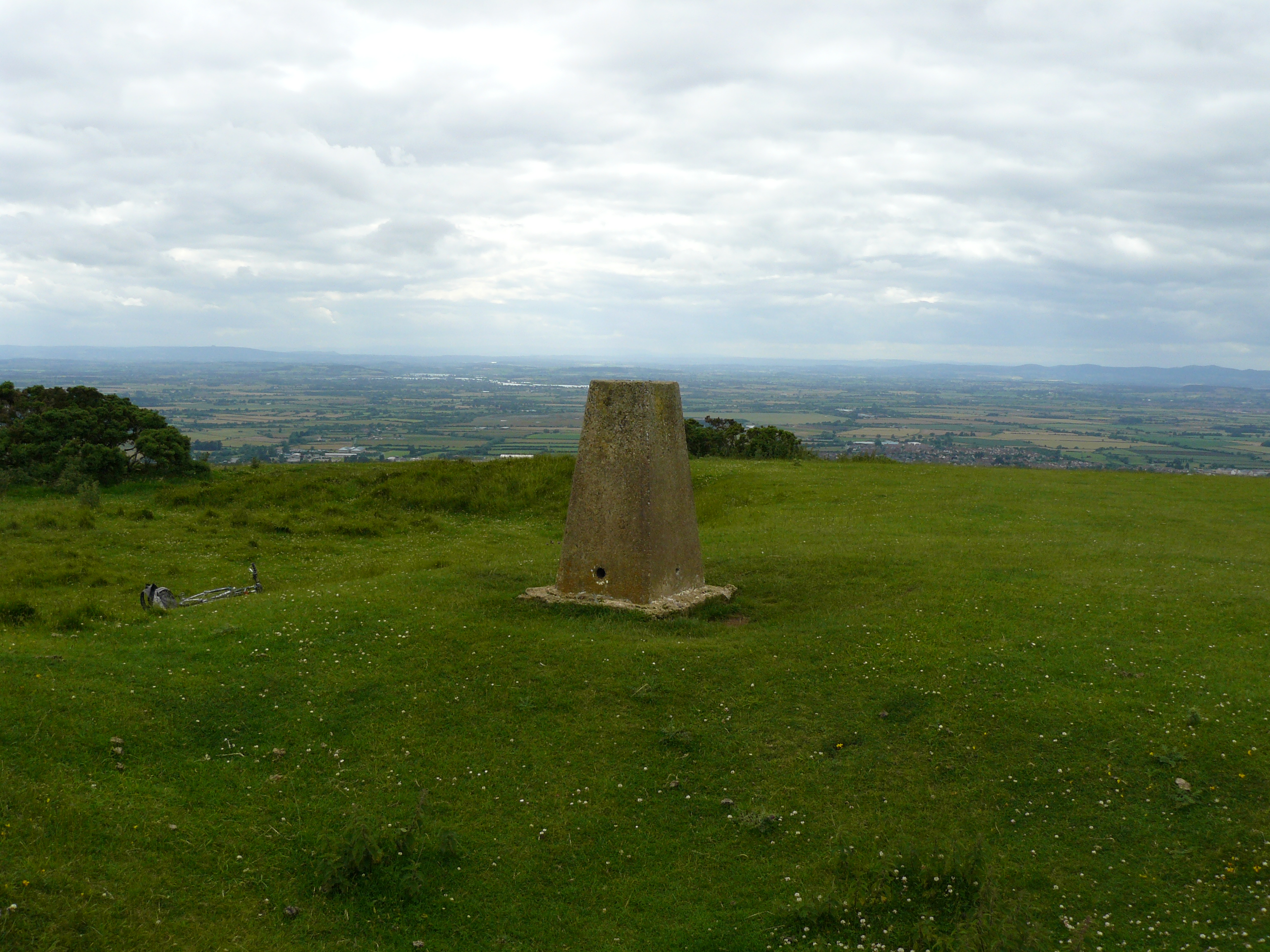
Black Barn Plantation is a picturesque woodland located in Gloucestershire, England. Covering an area of approximately 100 acres, it is nestled within the rolling hills and vast green fields of the region. The plantation is predominantly composed of various species of trees, creating a diverse and thriving forest ecosystem.

The woodland is characterized by its dense canopy, which provides a haven for numerous wildlife species. A variety of native trees can be found within Black Barn Plantation, including oak, beech, ash, and birch, among others. These trees not only contribute to the aesthetic appeal of the woodland but also play a crucial role in maintaining the local ecological balance.

Visitors to Black Barn Plantation can explore its enchanting trails and winding footpaths, offering a serene and tranquil experience in nature. The plantation also features a black barn, which stands as a historic landmark and adds to the charm of the area. This rustic structure adds a unique touch to the landscape, serving as a reminder of the area's agricultural heritage.

The woodland is a popular destination for nature enthusiasts, hikers, and birdwatchers, as it offers a wealth of opportunities to observe and appreciate local flora and fauna. The diverse range of bird species that inhabit the plantation makes it an excellent spot for birdwatching, with regular sightings of species such as woodpeckers, robins, and finches.

Overall, Black Barn Plantation in Gloucestershire is a captivating woodland that showcases the beauty of nature in its purest form. With its rich biodiversity and tranquil atmosphere, it offers visitors a chance to immerse themselves in the natural wonders of the region.

If you have any feedback on the listing, please let us know in the comments section below.

Black Barn Plantation Images

Images are sourced within 2km of 51.927049/-1.9669421 or Grid Reference SP0225. Thanks to Geograph Open Source API. All images are credited.

Winchcombe Cricket Club It appears to be part of the Corndean estate, a little out of the town.
Winchcombe Cricket Club
It appears to be part of the Corndean estate, a little out of the town.
The Cotswold Way above Winchcombe The path is on the slope of the escarpment, with Winchcombe visible ahead. The sheep are on the Corndean estate.
The Cotswold Way above Winchcombe
The path is on the slope of the escarpment, with Winchcombe visible ahead. The sheep are on the Corndean estate.
The Cotswold Way leaving the Isbourne valley There is a steady climb through a large sheep field which belongs to the Corndean estate.
The Cotswold Way leaving the Isbourne valley
There is a steady climb through a large sheep field which belongs to the Corndean estate.
Woodland path near Corndean Hall Continuing the steady climb up from Winchcombe along the Cotswold Way.
Woodland path near Corndean Hall
Continuing the steady climb up from Winchcombe along the Cotswold Way.
Private woodland near Corndean Hall The Cotswold way has to do some sharp angles to negotiate this part of the climb from Winchcombe, avoiding private land.
Private woodland near Corndean Hall
The Cotswold way has to do some sharp angles to negotiate this part of the climb from Winchcombe, avoiding private land.
Hillside barley field A rain shower is passing in the valley beyond.
Hillside barley field
A rain shower is passing in the valley beyond.
Barley field above Humblebee Cottages Seen during a rain shower.
Barley field above Humblebee Cottages
Seen during a rain shower.
The Cotswold Way near Belas Knap This is almost the top of the hill after quite a long climb from Winchcombe.
The Cotswold Way near Belas Knap
This is almost the top of the hill after quite a long climb from Winchcombe.
Sheep in a barley field near Belas Knap You feel that they weren't supposed to be there.
Sheep in a barley field near Belas Knap
You feel that they weren't supposed to be there.
Woodland path near Belas Knap Part of the Cotswold Way. It runs along the top of the escarpment which falls away to the right through the woods.
Woodland path near Belas Knap
Part of the Cotswold Way. It runs along the top of the escarpment which falls away to the right through the woods.
Belas Knap A neolithic long barrow. The remains of 31 people were found in it during the Victorian excavations.
Belas Knap
A neolithic long barrow. The remains of 31 people were found in it during the Victorian excavations.
Field of oats near Belas Knap The long barrow can be seen straight ahead. the path incorporates the Cotswold Way and the Winchcombe Way.
Field of oats near Belas Knap
The long barrow can be seen straight ahead. the path incorporates the Cotswold Way and the Winchcombe Way.
Sheep in long grass Near 300m above sea level, part of a large plateau around Cleeve Hill.
Sheep in long grass
Near 300m above sea level, part of a large plateau around Cleeve Hill.
Ramshackle gate and a field of oats As the fields have got larger, fewer gates are needed. This is a large plateau of farmland, but it falls away to the right towards West Wood.
Ramshackle gate and a field of oats
As the fields have got larger, fewer gates are needed. This is a large plateau of farmland, but it falls away to the right towards West Wood.
Track to Wontley Farm This used to be part of the Cotswold Way, but that has now been diverted through Breakheart Plantation instead.
Track to Wontley Farm
This used to be part of the Cotswold Way, but that has now been diverted through Breakheart Plantation instead.
Track nearly at Wontley Farm Formerly part of the Cotswold Way. One of the farm buildings can be seen in the indentation ahead.
Track nearly at Wontley Farm
Formerly part of the Cotswold Way. One of the farm buildings can be seen in the indentation ahead.
Lower edge of a field of oats To the left can be seen an indentation which was an old quarry. It is now completely surrounded by the field.
Lower edge of a field of oats
To the left can be seen an indentation which was an old quarry. It is now completely surrounded by the field.
Track near Wontley Farm This used to be the route of the Cotswold Way. Up ahead can be seen a footpath sign, where it now leaves this track towards Breakheart Plantation.
Track near Wontley Farm
This used to be the route of the Cotswold Way. Up ahead can be seen a footpath sign, where it now leaves this track towards Breakheart Plantation.
Show me another place!

Black Barn Plantation is located at Grid Ref: SP0225 (Lat: 51.927049, Lng: -1.9669421)

Administrative County: Gloucestershire

District: Tewkesbury

Police Authority: Gloucestershire

What 3 Words

///uptake.tedious.scanty. Near Winchcombe, Gloucestershire

Related Wikis

Belas Knap

Belas Knap is a neolithic, chambered long barrow situated on Cleeve Hill, near Cheltenham and Winchcombe, in Gloucestershire, England.It is a type of monument...

Sudeley

Sudeley is a civil parish in the district of Tewkesbury, in the county of Gloucestershire, England. The parish includes the village of Charlton Abbots...

Charlton Abbots

Charlton Abbots is a village and former civil parish 12 miles (19 km) east of Gloucester, now in the parish of Sudeley, in the Tewkesbury district, in...

Spoonley Wood Roman Villa

Spoonley Wood Roman Villa is an ancient Roman villa located 2 km south-east of Sudeley Castle near the town of Winchcombe, in Gloucestershire, England...

Winchcombe Castle

Winchcombe Castle was a castle in the town of Winchcombe in Gloucestershire, England. The motte and bailey castle was built during the chaos of the Anarchy...

Winchcombe meteorite

The Winchcombe meteorite is a carbonaceous chondrite meteorite that was observed entering the Earth's atmosphere as a fluorescent green fireball over Gloucestershire...

Cleeve Hill, Gloucestershire

Cleeve Hill (also known as Cleeve Cloud) is the highest point both of the Cotswolds hill range and of the county of Gloucestershire, at 330 m (1,080 ft...

Winchcombeshire

Winchcombeshire was an ancient county in the South West of England, in the Anglo-Saxon period, with Winchcombe as its county town. The county originated...

Nearby Amenities

Located within 500m of 51.927049,-1.9669421
Barrier: kissing_gate
Source: survey
Lat/Long: 51.9277257/-1.9707782
Barrier: stile
Material: stone
Source: survey
Step Count: 2
Stile: stepover
Lat/Long: 51.9276798/-1.9708121
Barrier: kissing_gate
Source: survey
Lat/Long: 51.9276042/-1.9712271
Source: survey
Lat/Long: 51.9276192/-1.9711303
Belas Knap Long Barrow
Tourism: information
Lat/Long: 51.9276774/-1.9708412
Barrier: cattle_grid
Lat/Long: 51.9313982/-1.9683598
The data included in this document is from www.openstreetmap.org. The data is made available under ODbL.

Have you been to Black Barn Plantation?

Leave your review of Black Barn Plantation below (or comments, questions and feedback).