Baunton Copse

Wood, Forest in Gloucestershire Cotswold

England

Baunton Copse

Cirencester marketplace looking ESE
Cirencester marketplace Credit: mym

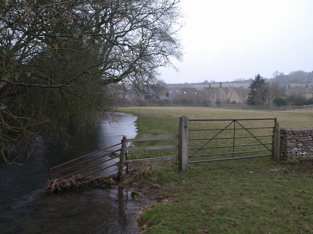
Baunton Copse is a picturesque woodland located in Gloucestershire, England. Covering an area of approximately 50 acres, it is nestled within the village of Baunton and surrounded by rolling countryside. The copse is predominantly made up of native broadleaf trees, including oak, beech, and ash, which create a dense and vibrant canopy overhead.

The woodland provides a peaceful and tranquil environment, attracting nature enthusiasts and walkers alike. The forest floor is carpeted with a variety of wildflowers, such as bluebells in the spring and wood anemones in the summer. This rich undergrowth supports a diverse range of wildlife, including birds, butterflies, and small mammals.

Baunton Copse is intersected by a network of footpaths and trails, making it easily accessible to visitors. These paths wind through the woodland, allowing visitors to explore its hidden corners and discover its natural wonders. The copse also features a small stream, adding to its charm and providing a serene setting for picnics or quiet reflection.

Due to its location in the Cotswolds, Baunton Copse benefits from the region's mild climate, with warm summers and relatively mild winters. This makes it a year-round destination, with each season offering its own unique beauty.

In summary, Baunton Copse is a charming woodland sanctuary, offering a peaceful retreat from the hustle and bustle of everyday life. Its diverse flora and fauna, coupled with its scenic trails, make it a haven for nature lovers and a delightful place to connect with the natural world.

If you have any feedback on the listing, please let us know in the comments section below.

Baunton Copse Images

Images are sourced within 2km of 51.734382/-1.9670383 or Grid Reference SP0203. Thanks to Geograph Open Source API. All images are credited.

Cirencester marketplace looking ESE
Cirencester marketplace
looking ESE
Cirencester Parish Church View from south. Dedicated to St John the Baptist
Cirencester Parish Church
View from south. Dedicated to St John the Baptist
Ermin Street, near Cirencester View south-east along Ermin Street, the former Roman road from Gloucester (Glevum) to Cirencester (Corinium) and beyond.
Ermin Street, near Cirencester
View south-east along Ermin Street, the former Roman road from Gloucester (Glevum) to Cirencester (Corinium) and beyond.
Ermin Street, Stratton Ermin Street running south-east through the village of Stratton, a community separated from Cirencester by former water meadows and mainly composed of a large housing estate
Ermin Street, Stratton
Ermin Street running south-east through the village of Stratton, a community separated from Cirencester by former water meadows and mainly composed of a large housing estate
Cirencester Park and Cecily Hill Barracks Looking east towards Cirencester Parish Church down the main ride of the park, home of Earl Bathurst. On the left are the former barracks, built in 1857 to house the local militia.
Cirencester Park and Cecily Hill Barracks
Looking east towards Cirencester Parish Church down the main ride of the park, home of Earl Bathurst. On the left are the former barracks, built in 1857 to house the local militia.
Cirencester Golf Course Looking west from the Cheltenham Road across Cirencester Golf Course, designed in 1910
Cirencester Golf Course
Looking west from the Cheltenham Road across Cirencester Golf Course, designed in 1910
A417 near Cirencester Looking north-west from the White Way along the A417, Swindon to Gloucester road, near Baunton
A417 near Cirencester
Looking north-west from the White Way along the A417, Swindon to Gloucester road, near Baunton
Salvation Army Thomas Street Cirencester Opposite to the Friends Meeting House
Salvation Army Thomas Street Cirencester
Opposite to the Friends Meeting House
Stratton Church Possibly on the line between squares! This is looking into the square. The church like many locally is some way from the modern suburb, separated by a main road, the old road to Gloucester.
Stratton Church
Possibly on the line between squares! This is looking into the square. The church like many locally is some way from the modern suburb, separated by a main road, the old road to Gloucester.
Baunton Church (winter!) View of the south side of the church
Baunton Church (winter!)
View of the south side of the church
Cirencester, The Fleece Hotel Another of our fine old buildings.
Cirencester, The Fleece Hotel
Another of our fine old buildings.
Cirencester, The King's Head Hotel Another of the town's fine old buildings.
Cirencester, The King's Head Hotel
Another of the town's fine old buildings.
Clearing The Edwardian Dump In Cirencester Looking from the field next to Burford Road towards Arnolds Way Cirencester
Clearing The Edwardian Dump In Cirencester
Looking from the field next to Burford Road towards Arnolds Way Cirencester
Club house for Cirencester Golf Course.
The bridge of the A 417 over the A 435 near Cirencester.
Gate into The Abbey Estate just off the A429 Beech leaves are on the ground in this late-November view.
Gate into The Abbey Estate just off the A429
Beech leaves are on the ground in this late-November view.
A429 Fosse Way approaching Fosse Corner near Cirencester. Looking south towards the Burford Road junction.
A429 Fosse Way approaching Fosse Corner near Cirencester.
Looking south towards the Burford Road junction.
Traffic lights at Fosse Corner, near Cirencester.
Show me another place!

Baunton Copse is located at Grid Ref: SP0203 (Lat: 51.734382, Lng: -1.9670383)

Administrative County: Gloucestershire

District: Cotswold

Police Authority: Gloucestershire

What 3 Words

///homes.jukebox.deleting. Near Stratton, Gloucestershire

Nearby Locations

Baunton Copse

Related Wikis

Baunton

Baunton is a village and civil parish in the Cotswold district of Gloucestershire, England, located about two miles north of Cirencester on the River...

Stratton, Gloucestershire

Stratton is a village, ward and former civil parish about 22 miles from Gloucester, now in the parish of Cirencester, in the Cotswold district, in the...

A417 road

The A417 is a main road in England running from Streatley, Berkshire to Hope under Dinmore, Herefordshire. It is best known for its section between Cirencester...

Cirencester Abbey

Cirencester Abbey or St Mary's Abbey, Cirencester in Gloucestershire was founded as an Augustinian monastery in 1117 on the site of an earlier church,...

Cotswold District

Cotswold is a local government district in Gloucestershire, England. It is named after the wider Cotswolds region and range of hills. The council is based...
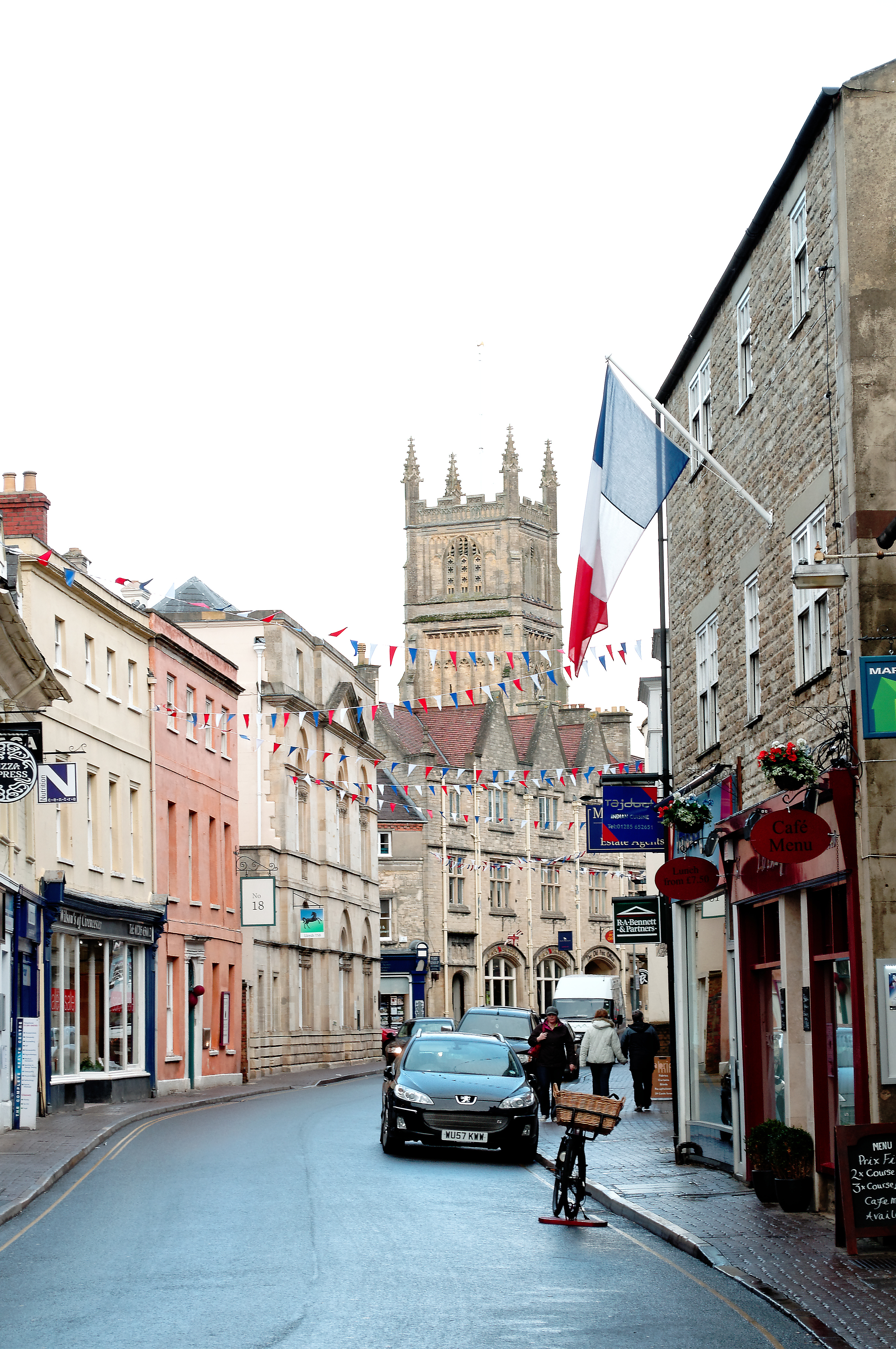
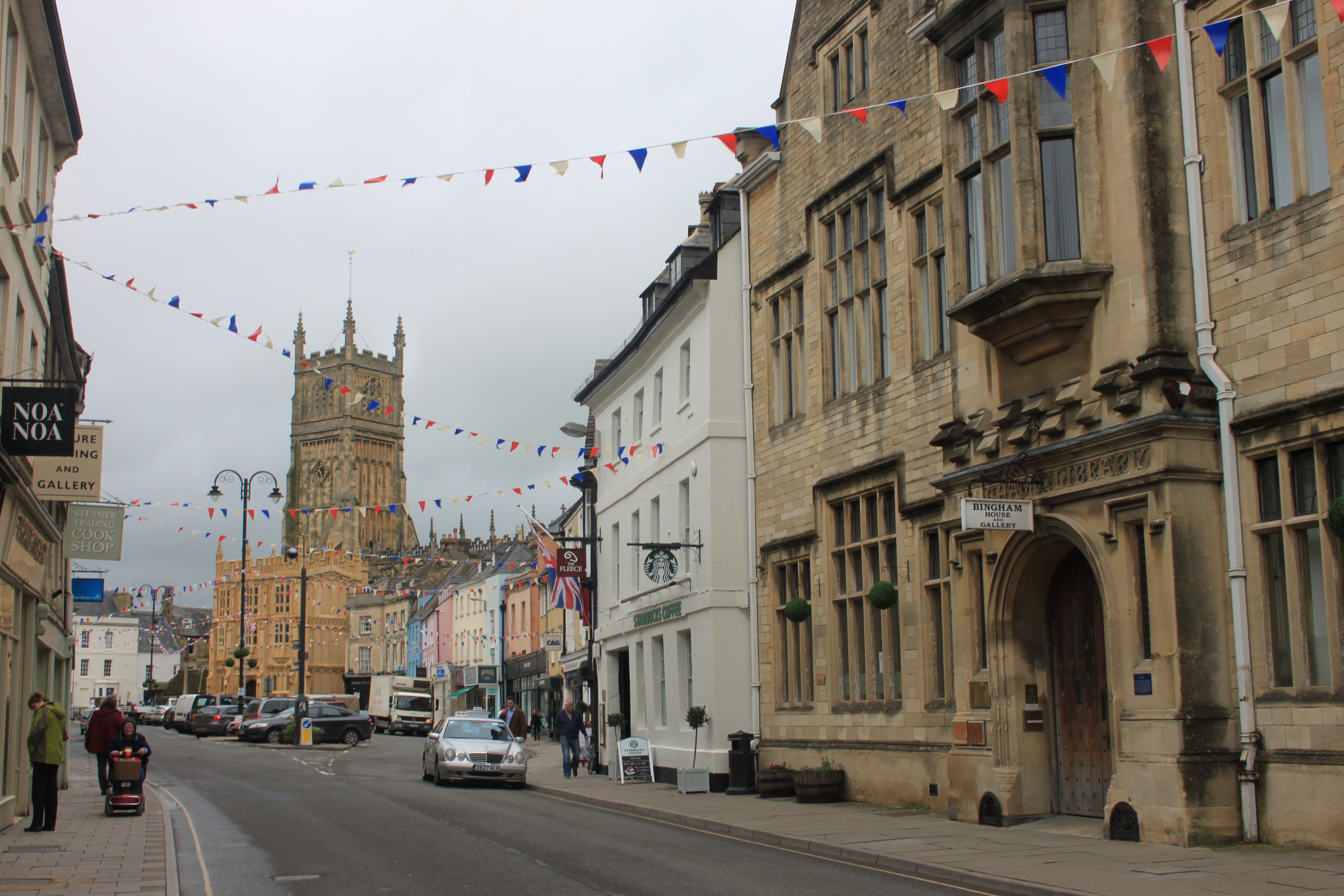
Cirencester

Cirencester ( , occasionally ; see below for more variations) is a market town in Gloucestershire, England, 80 miles (130 km) west of London. Cirencester...

Battle of Cirencester

The Battle of Cirencester was fought in 628 at Cirencester in modern-day England. The conflict involved the armies of Mercia, under King Penda, and the...

Corinium Dobunnorum

Corinium Dobunnorum was the Romano-British settlement at Cirencester in the present-day English county of Gloucestershire. Its 2nd-century walls enclosed...

Nearby Amenities

Located within 500m of 51.734382,-1.9670383
Bus Stop
Baunton Turn
Bus: yes
Naptan AtcoCode: 1600GLC181
Naptan Bearing: S
Naptan CommonName: Baunton Turn
Naptan NaptanCode: glogadjw
Naptan Street: Cheltenham Rd A435
Naptan Verified: no
Public Transport: platform
Source: naptan_import
Lat/Long: 51.7373304/-1.9695156
Bus Stop
Churn Court
Bus: yes
Naptan AtcoCode: 1600GLC184
Naptan Bearing: NE
Naptan CommonName: Churn Court
Naptan NaptanCode: glodwtwg
Naptan Street: Cheltenham Rd
Naptan Verified: no
Public Transport: platform
Source: naptan_import
Lat/Long: 51.7344785/-1.9722096
Bus Stop
Park View
Bus: yes
Naptan AtcoCode: 1600GLC300
Naptan Bearing: N
Naptan CommonName: Park View
Naptan NaptanCode: glodwtma
Naptan Street: Stratton Heights
Naptan Verified: no
Public Transport: platform
Source: naptan_import
Lat/Long: 51.732557/-1.9736602
Bus Stop
Churn Court
Bus: yes
Naptan AtcoCode: 1600GLC183
Naptan Bearing: SW
Naptan CommonName: Churn Court
Naptan Indicator: Opp
Naptan NaptanCode: glodwtwj
Naptan Street: Cheltenham Rd
Naptan Verified: no
Public Transport: platform
Source: naptan_import
Lat/Long: 51.7345454/-1.9721541
Material: wood
Power: pole
Source: bing
Lat/Long: 51.7306224/-1.969251
Material: wood
Power: pole
Source: bing
Lat/Long: 51.7313052/-1.9692121
Material: wood
Power: pole
Source: bing
Lat/Long: 51.7319364/-1.9692014
Material: wood
Power: pole
Source: bing
Lat/Long: 51.7327712/-1.9691639
Material: wood
Power: pole
Source: bing
Lat/Long: 51.7335054/-1.9690861
Material: wood
Power: pole
Source: bing
Lat/Long: 51.7342751/-1.9687889
Material: wood
Power: pole
Source: bing
Lat/Long: 51.7348991/-1.9679099
Material: wood
Power: pole
Source: bing
Lat/Long: 51.7355187/-1.9670489
Material: wood
Power: pole
Source: bing
Lat/Long: 51.737203/-1.9620922
Material: wood
Power: pole
Source: bing
Lat/Long: 51.7376639/-1.9634199
Material: wood
Power: pole
Source: bing
Lat/Long: 51.7380866/-1.9647329
Material: wood
Power: pole
Source: bing
Lat/Long: 51.7372703/-1.964521
Material: wood
Power: pole
Source: bing
Lat/Long: 51.7366274/-1.9654329
Material: wood
Power: pole
Source: bing
Lat/Long: 51.736061/-1.9662617
Barrier: stile
Lat/Long: 51.7338593/-1.9678974
Barrier: stile
Lat/Long: 51.7369406/-1.9668235
Power: pole
Source: bing
Lat/Long: 51.7360336/-1.9736472
Power: pole
Source: bing
Lat/Long: 51.7362579/-1.9730195
Power: pole
Source: bing
Transformer: distribution
Lat/Long: 51.7373126/-1.9704486
Power: pole
Source: bing
Lat/Long: 51.7371772/-1.9711635
Power: pole
Source: bing
Transformer: distribution
Lat/Long: 51.7369389/-1.9724911
Power: pole
Source: bing
Lat/Long: 51.7346861/-1.9707489
Power: pole
Source: bing
Transformer: distribution
Lat/Long: 51.7349615/-1.9720617
The data included in this document is from www.openstreetmap.org. The data is made available under ODbL.

Have you been to Baunton Copse?

Leave your review of Baunton Copse below (or comments, questions and feedback).