Bede House
Heritage Site in Rutland
Scotland
Bede House

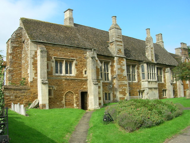
Bede House, located in the county of Rutland, is a notable heritage site that holds great historical significance. This charming house, nestled in the heart of the picturesque village, is believed to have been built in the late 17th century.
The architectural style of Bede House is predominantly Jacobean, characterized by its symmetrical facade and timber-framed structure. The house boasts a stunning thatched roof, which adds to its unique and quaint appeal. It is a Grade II listed building, acknowledging its historical and architectural importance.
Originally, Bede House served as a residence for the local parish priest. However, over the years, it has undergone several transformations. Today, it operates as a museum, showcasing the rich history and heritage of Rutland. Visitors to the house can explore various exhibits that provide insight into the village's past, including displays of period furniture, household utensils, and local artifacts.
Inside, Bede House features charming rooms, each meticulously restored to reflect different eras. The museum offers an interactive experience, allowing visitors to immerse themselves in the history of Rutland. Additionally, the house boasts a tranquil garden, which provides a serene setting for visitors to relax and enjoy the surrounding natural beauty.
Bede House is not only a testament to Rutland's past but also an integral part of the community. It hosts various events throughout the year, including workshops, lectures, and exhibitions, aimed at promoting the local heritage and engaging with visitors.
In sum, Bede House in Rutland is a captivating heritage site that offers a glimpse into the region's rich history. Its architectural beauty, coupled with its informative exhibits, makes it a must-visit destination for history enthusiasts and anyone seeking a deeper understanding of Rutland's past.
If you have any feedback on the listing, please let us know in the comments section below.
Bede House Images
Images are sourced within 2km of 52.568/-0.708 or Grid Reference SP8797. Thanks to Geograph Open Source API. All images are credited.


Bede House is located at Grid Ref: SP8797 (Lat: 52.568, Lng: -0.708)
Unitary Authority: Rutland
Police Authority: Leicestershire
What 3 Words
///contracting.jammy.forgiven. Near Uppingham, Rutland
Nearby Locations
Related Wikis
Lyddington Bede House
Lyddington Bede House (or Lyddington Bedehouse) is a historic house in Rutland, England, owned and opened to the public by English Heritage. The existing...

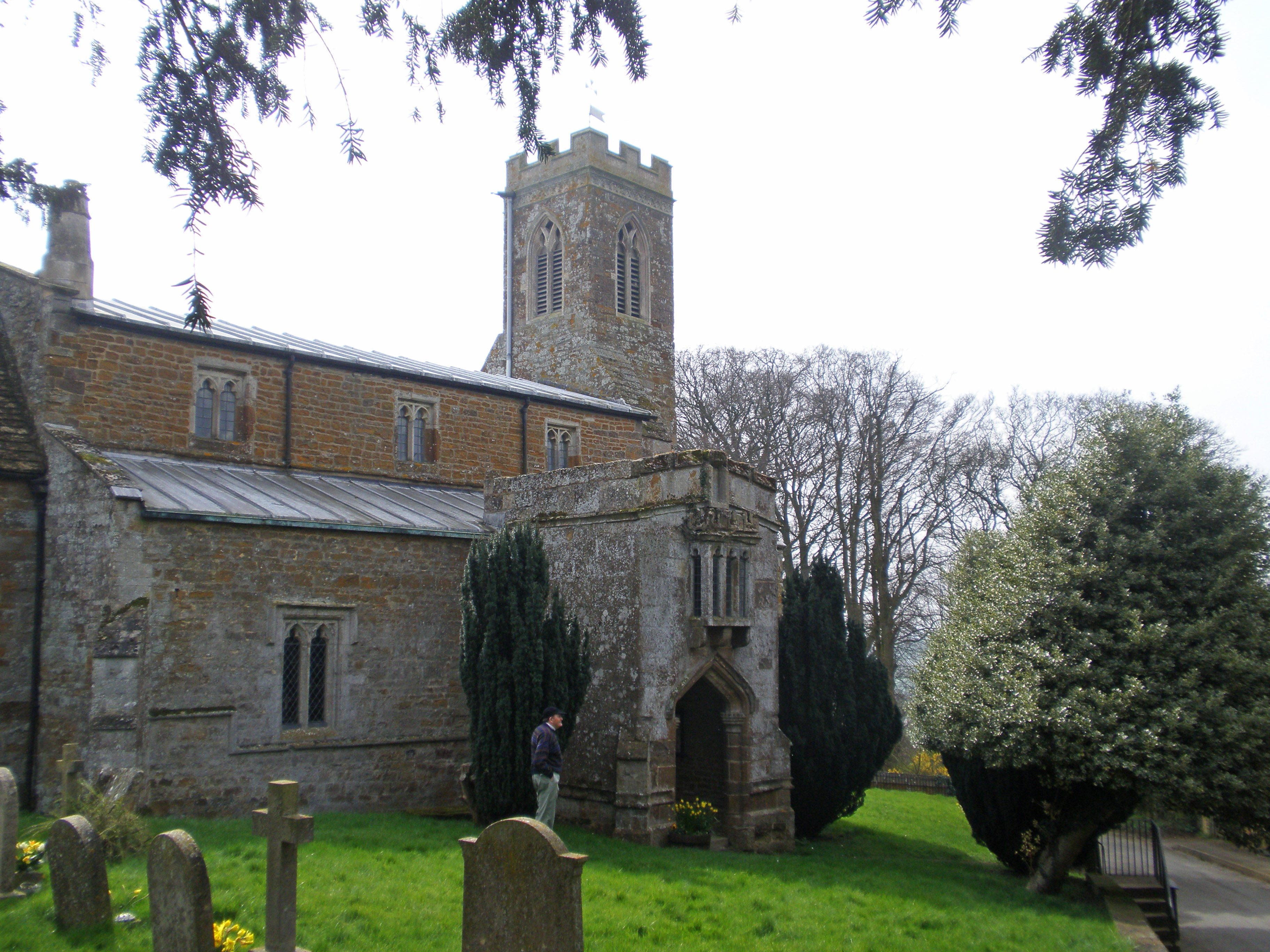
St Andrew's Church, Lyddington
St Andrew's Church is a church in Lyddington, Rutland. It is a Grade I listed building. == History == The church is situated next to Lyddington Bede House...
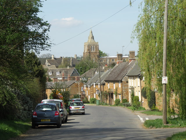
Lyddington
Lyddington is a village in the county of Rutland in the East Midlands of England. The population of the civil parish was 397 at the 2001 census, and had...
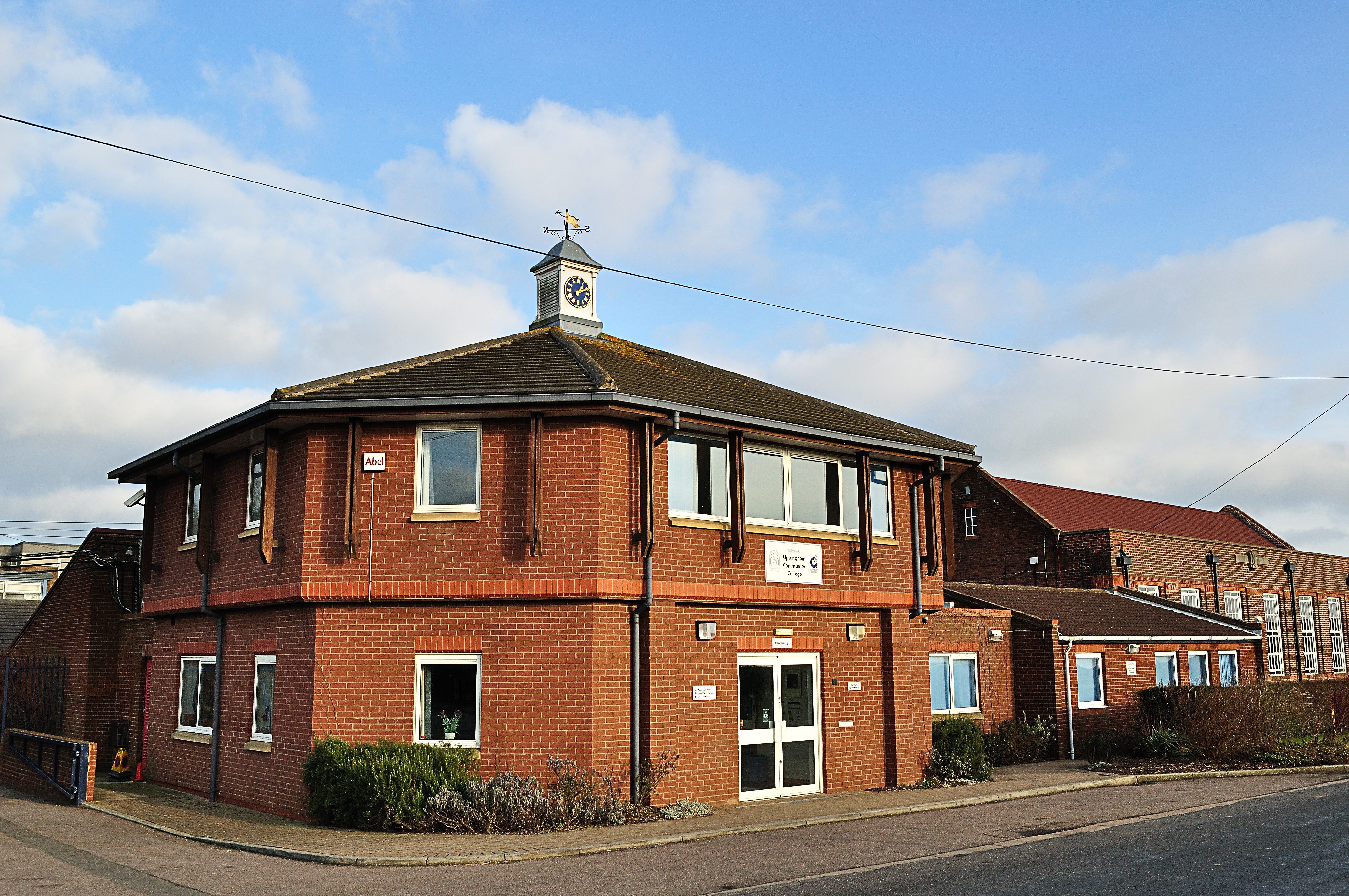
Uppingham Community College
Uppingham Community College is a mixed secondary school located in Uppingham in the English county of Rutland.It was previously a community school administered...
Thorpe by Water
Thorpe by Water is a village and civil parish in the county of Rutland in the East Midlands of England. The population at the 2001 Census was 56. At the...
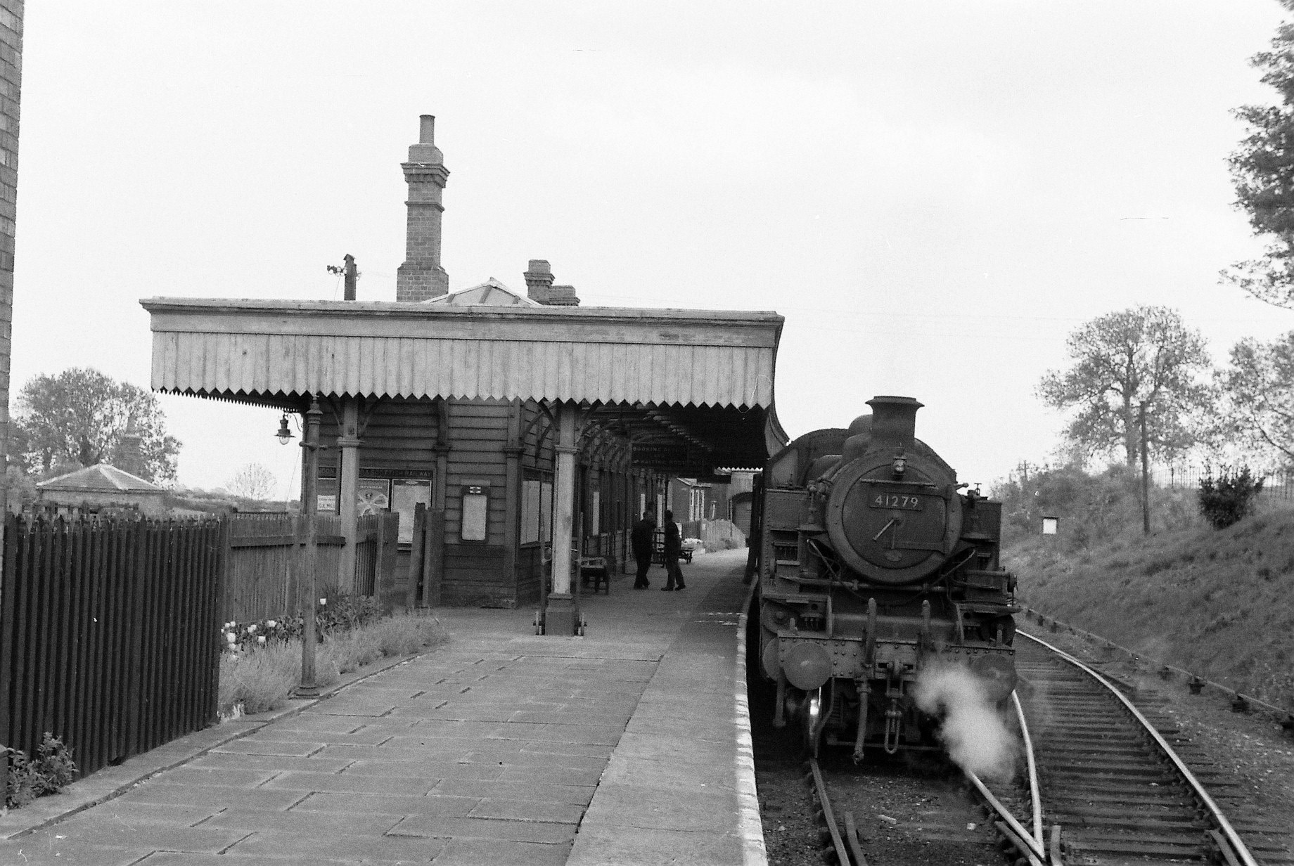
Uppingham railway station
Uppingham railway station was a station in Uppingham, Rutland. It was the terminus of a branch line from Seaton and opened in 1894 and closed in 1960....

Stoke Dry
Stoke Dry is a village and civil parish in the county of Rutland in the East Midlands of England, about three miles (5 km) southwest of Uppingham. The...
St Andrew's Church, Stoke Dry
St Andrew's Church is a church in Stoke Dry, Rutland. It is a Grade I listed building. == History == The church is made up of a chancel, south chapel,...
Nearby Amenities
Located within 500m of 52.568,-0.708Have you been to Bede House?
Leave your review of Bede House below (or comments, questions and feedback).