Beddyrafanc

Heritage Site in Pembrokeshire

Wales

Beddyrafanc

B4329 west of Brynberian
B4329 west of Brynberian Credit: Colin Pyle

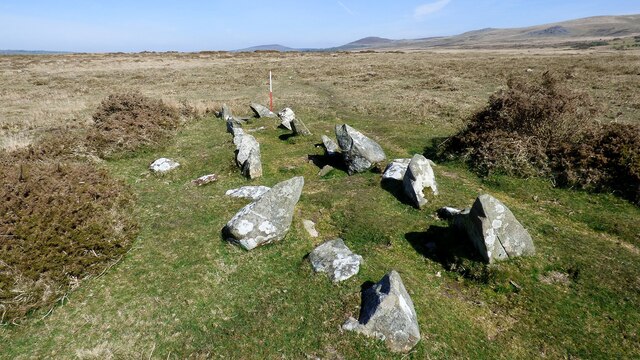
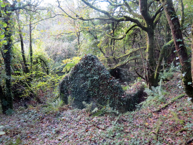
Beddyrafanc is a historic heritage site located in Pembrokeshire, Wales. It is a well-preserved Neolithic burial chamber dating back to around 3,500 BC, making it one of the oldest structures in the area. The site consists of a large capstone supported by three upright stones, creating a small chamber that would have been used for burial rituals.

The name Beddyrafanc translates to "Grave of the Raven" in Welsh folklore, and the site is surrounded by myths and legends of ancient burial practices and supernatural occurrences. It is believed that the chamber was used for communal burials, with multiple bodies being interred within the chamber over time.

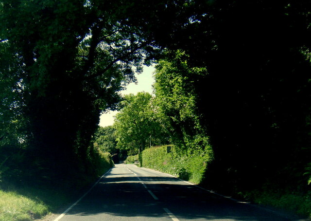
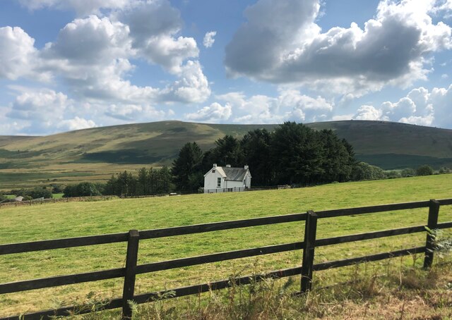
Visitors to Beddyrafanc can explore the site and marvel at the impressive megalithic structure, imagining the rituals and ceremonies that would have taken place thousands of years ago. The site is easily accessible by foot and is located in a picturesque rural setting, surrounded by rolling hills and lush greenery.

Overall, Beddyrafanc is a fascinating heritage site that provides a glimpse into the ancient history and burial practices of the Pembrokeshire region.

If you have any feedback on the listing, please let us know in the comments section below.
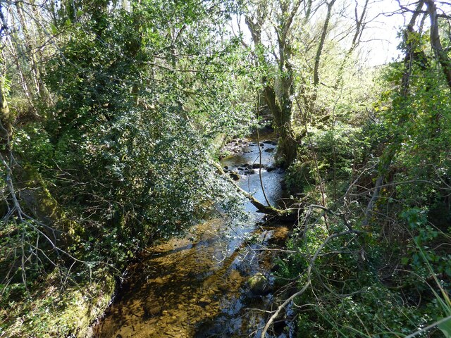
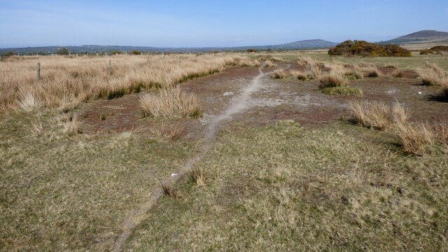
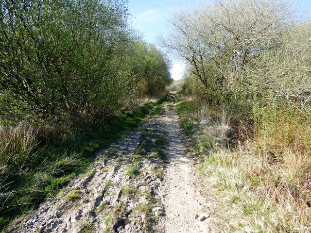
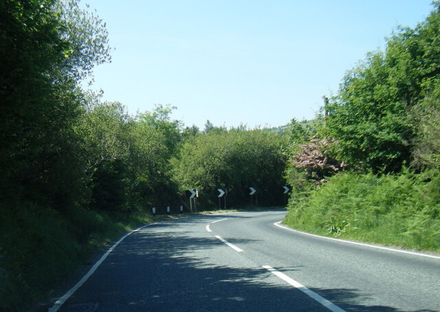
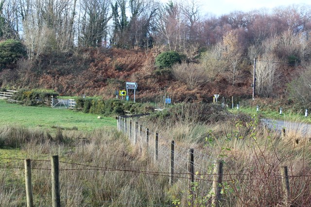
Beddyrafanc Images

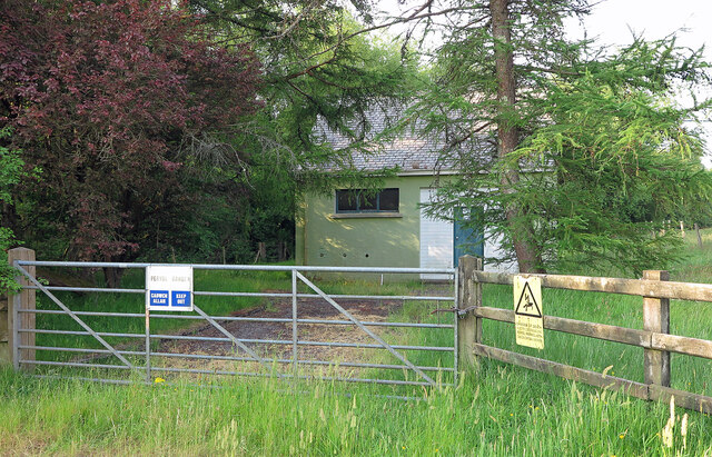
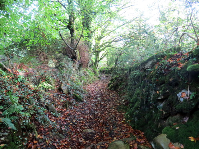
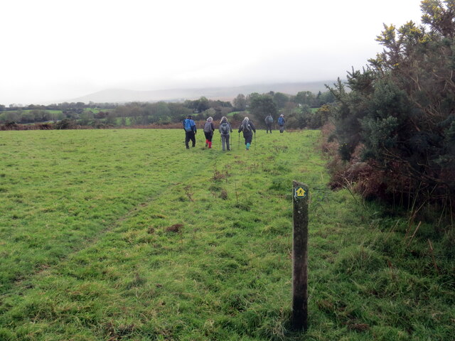
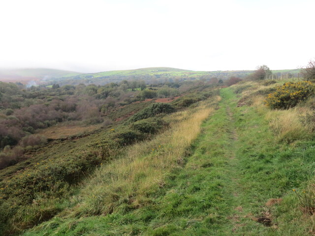
Images are sourced within 2km of 51.977/-4.758 or Grid Reference SN1034. Thanks to Geograph Open Source API. All images are credited.

B4329 west of Brynberian
Pennant Isaf South-west of Brynberian
Pennant Isaf
South-west of Brynberian
Llwybr Penparce / Penparce path Llwybr troed cyhoeddus yn mynd i gyfeiriad anhedd-dy o'r ene Penparce.

A public footpath heading in the direction of a property known as Penparce (trans. top of the fields).
Llwybr Penparce / Penparce path
Llwybr troed cyhoeddus yn mynd i gyfeiriad anhedd-dy o'r ene Penparce. A public footpath heading in the direction of a property known as Penparce (trans. top of the fields).
Beddyrafanc Passage Grave A relatively well preserved Neolithic chambered tomb (Scale 1m) <span class="nowrap"><a title="https://www.megalithic.co.uk/article.php?sid=4258" rel="nofollow ugc noopener" href="https://www.megalithic.co.uk/article.php?sid=4258">Link</a><img style="margin-left:2px;" alt="External link" title="External link - shift click to open in new window" src="https://s1.geograph.org.uk/img/external.png" width="10" height="10"/></span>
Beddyrafanc Passage Grave
A relatively well preserved Neolithic chambered tomb (Scale 1m) LinkExternal link
Afon Brynberian View upstream from bridge on the B4329.
Afon Brynberian
View upstream from bridge on the B4329.
The path from Beddyrafanc Usually this would be rather damp underfoot, but on this occasion it was solid.
The path from Beddyrafanc
Usually this would be rather damp underfoot, but on this occasion it was solid.
Track to Beddyrafanc Looks like it could be rough going when the conditions are wet.
Track to Beddyrafanc
Looks like it could be rough going when the conditions are wet.
B4329 at Pont-Saeson
B4329 nearing Brynberian
Brynberian Pumping Station Water pumping station beside the Brynberian Brook.
Brynberian Pumping Station
Water pumping station beside the Brynberian Brook.
Llwybr ceffyl Feidr Ddwr / Feidr Ddwr bridleway Llwybr ceffyl hynafol wrth ei olwg a elwir Feidr Ddwr.

An ancient looking bridleway known as Feidr Ddwr (trans. water lane).
Llwybr ceffyl Feidr Ddwr / Feidr Ddwr bridleway
Llwybr ceffyl hynafol wrth ei olwg a elwir Feidr Ddwr. An ancient looking bridleway known as Feidr Ddwr (trans. water lane).
Llwybr ger Pen-rhiwlas / Path near Pen-rhiwlas Cerddwyr yn dilyn llwybr troed cyhoeddus ger anhedd-dy o'r enw Pen-rhiwlas.

Walkers following a footpath near  a property known as Pen-rhiwlas (trans. top of the green hill).
Llwybr ger Pen-rhiwlas / Path near Pen-rhiwlas
Cerddwyr yn dilyn llwybr troed cyhoeddus ger anhedd-dy o'r enw Pen-rhiwlas. Walkers following a footpath near a property known as Pen-rhiwlas (trans. top of the green hill).
Llwybr uwchben Cwm / Path above a valley Llwybr troed cyhoeddus uwchben Cwm Brynberian.

A public footpath above Cwm Brynberian.
Llwybr uwchben Cwm / Path above a valley
Llwybr troed cyhoeddus uwchben Cwm Brynberian. A public footpath above Cwm Brynberian.
Gweddillion Hen-felin / The remains of Hen-felin Gweddillion Hen-felin ar lan Afon Brynberian.

The remains of Hen-felin (trans. old mill) on the banks of Afon Brynberian.
Gweddillion Hen-felin / The remains of Hen-felin
Gweddillion Hen-felin ar lan Afon Brynberian. The remains of Hen-felin (trans. old mill) on the banks of Afon Brynberian.
Craig Rhosyfelin Craig Rhosyfelin lle cred rhai archaeolegwyr fod o leiaf un o'r cerrig glesision yng Nghor y Cewri wedi dod o'r fan hon.

Craig Rhosyfelin (trans. mill moor rock) where some archaeologists believe that at least one of the bluestones at Stonehenge came from.
Craig Rhosyfelin
Craig Rhosyfelin lle cred rhai archaeolegwyr fod o leiaf un o'r cerrig glesision yng Nghor y Cewri wedi dod o'r fan hon. Craig Rhosyfelin (trans. mill moor rock) where some archaeologists believe that at least one of the bluestones at Stonehenge came from.
Craig Rhosyfelin Craig Rhosyfelin lle cred rhai archaeolegwyr fod rhai cerrig glesision yng Nghor y Cewri wedi dod o'r fan hon. Mae'r slaben fawr yn y blandir yn edrych ei bod fel petai wedi ei pharatoi i'w chludo i ffwrdd. 

Craig Rhosyfelin (trans. mill moor rock) where some archaeologists believe some of the bluestones at Stonehenge came from. The large slab in the foreground looks as if it's been positioned ready for transportation.
Craig Rhosyfelin
Craig Rhosyfelin lle cred rhai archaeolegwyr fod rhai cerrig glesision yng Nghor y Cewri wedi dod o'r fan hon. Mae'r slaben fawr yn y blandir yn edrych ei bod fel petai wedi ei pharatoi i'w chludo i ffwrdd. Craig Rhosyfelin (trans. mill moor rock) where some archaeologists believe some of the bluestones at Stonehenge came from. The large slab in the foreground looks as if it's been positioned ready for transportation.
Corner of road at Brynberian The B4329 comes down a hill, left out of shot, and turns at the junction of a signposted minor road to Brynberian and a prehistoric burial chamber.
Corner of road at Brynberian
The B4329 comes down a hill, left out of shot, and turns at the junction of a signposted minor road to Brynberian and a prehistoric burial chamber.
Pont Brynberian Translates as 'the bridge at Berian's Hill'
Pont Brynberian
Translates as 'the bridge at Berian's Hill'
Show me another place!

Beddyrafanc is located at Grid Ref: SN1034 (Lat: 51.977, Lng: -4.758)

Unitary Authority: Pembrokeshire

Police Authority: Dyfed Powys

What 3 Words

///goes.respected.divides. Near Nevern, Pembrokeshire

Nearby Locations

Beddyrafanc Eglwyswrw

Related Wikis

Brynberian

Brynberian is a small village in north Pembrokeshire, Wales, in the foothills of the Preseli Mountains in the Pembrokeshire Coast National Park. It is...

Penbanc

Penbanc is a 19th-century thatched Pembrokeshire longhouse (tŷ hir in Welsh) about 1.5 kilometres (0.9 miles) northwest of the hamlet of Brynberian in...

Craig Rhos-y-felin

Craig Rhos-y-felin is a rocky outcrop on the north side of the Preseli Mountains in Wales, which is designated as a RIGS site on the basis of its geological...
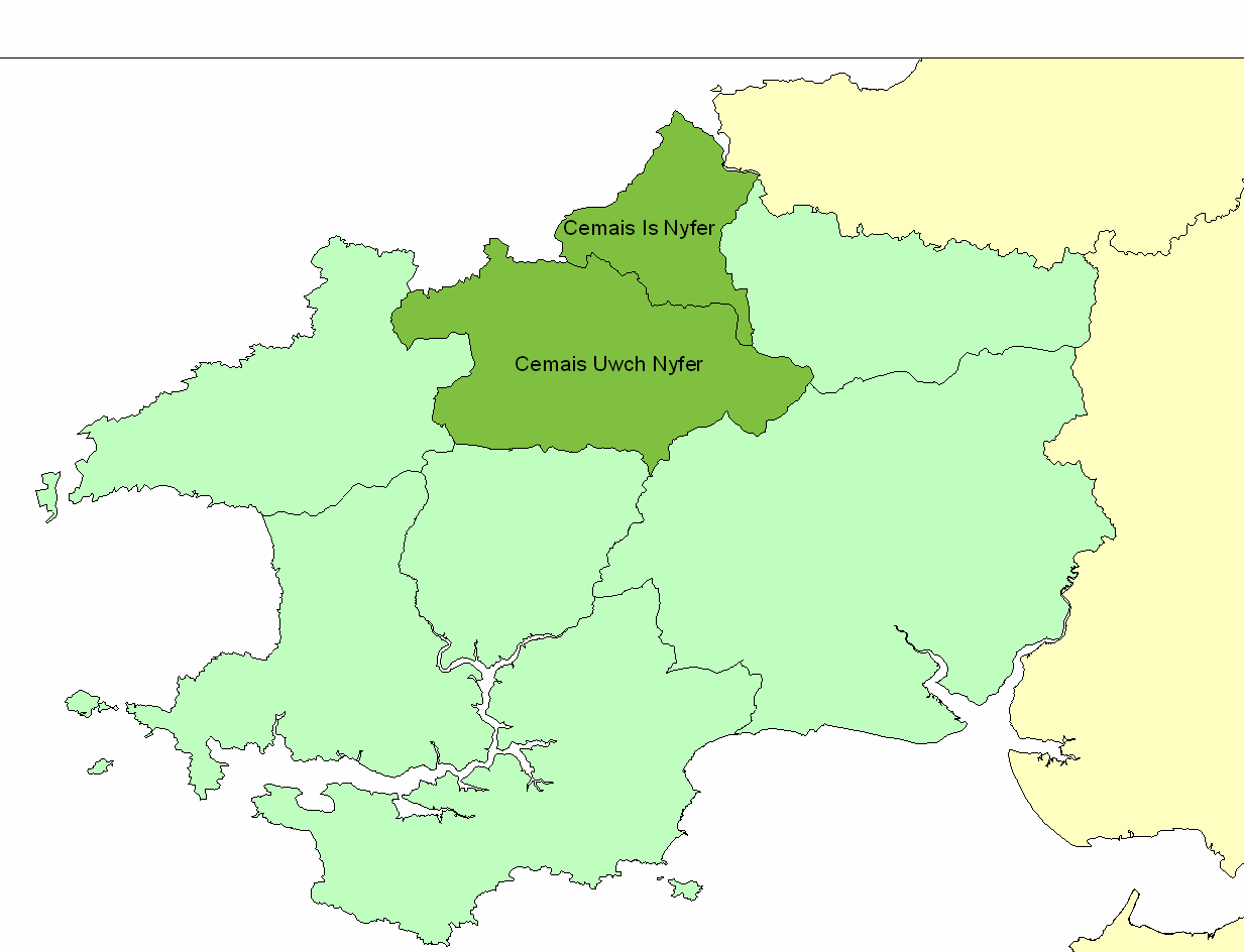
Cemais Uwch Nyfer

Cemais Uwch Nyfer was a mediaeval Welsh commote in the Dyfed cantref of Cemais, in what is now Pembrokeshire. It consisted of the territory between the...

Nearby Amenities

Located within 500m of 51.977,-4.758
Direction: 235
Generator Method: photovoltaic
Generator Output Electricity: yes
Generator Solar Modules: 14
Generator Source: solar
Generator Type: solar_photovoltaic_panel
Location: roof
Power: generator
Lat/Long: 51.9810402/-4.7572038
The data included in this document is from www.openstreetmap.org. The data is made available under ODbL.

Have you been to Beddyrafanc ?

Leave your review of Beddyrafanc below (or comments, questions and feedback).