Eglwyswrw
Community in Pembrokeshire
Wales
Eglwyswrw
Eglwyswrw is a community located in Pembrokeshire, Wales. It is situated in the northwest part of the county and covers an area of approximately 35 square miles. The community is primarily rural and is characterized by its picturesque landscapes, rolling hills, and farmland.
The village of Eglwyswrw itself is small, with a population of around 500 people. It is centered around the village square, which is home to a number of local amenities including a pub, post office, and a few small shops. The community also has a primary school, providing education for the local children.
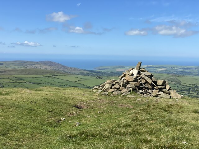
Eglwyswrw is known for its agricultural heritage, with farming being a significant part of the local economy. The surrounding countryside is dotted with farms, where livestock such as sheep and cattle are reared. The community also benefits from its proximity to the Pembrokeshire Coast National Park, which attracts tourists and outdoor enthusiasts throughout the year.
Despite its small size, Eglwyswrw offers a close-knit community feel, with residents actively participating in local events and initiatives. The community has a strong sense of Welsh identity, with the Welsh language being spoken by a significant proportion of the population.
Overall, Eglwyswrw is a charming and tranquil community, offering a rural lifestyle and beautiful natural surroundings to its residents and visitors.
If you have any feedback on the listing, please let us know in the comments section below.
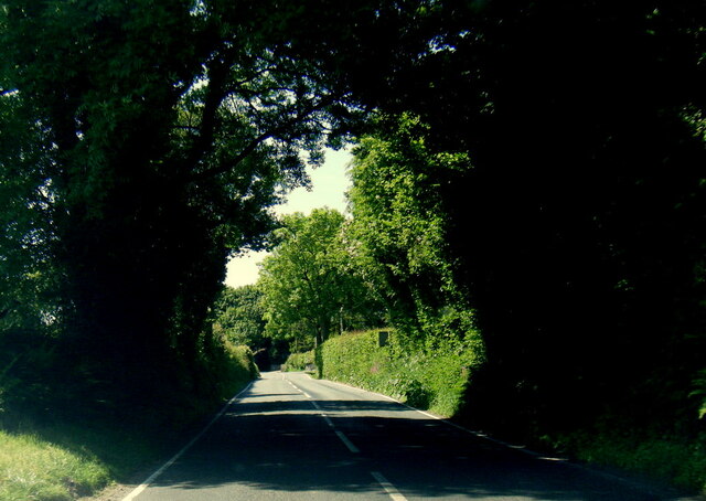
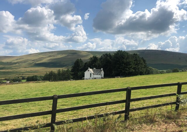
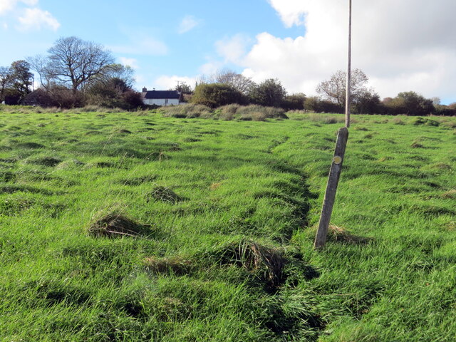
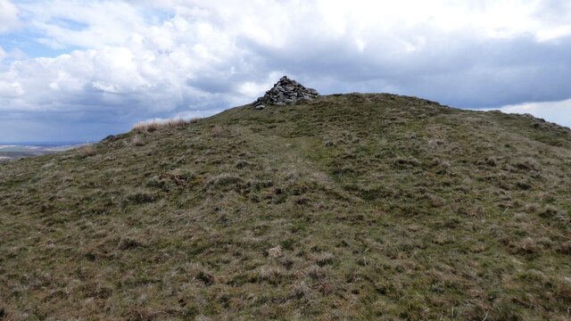
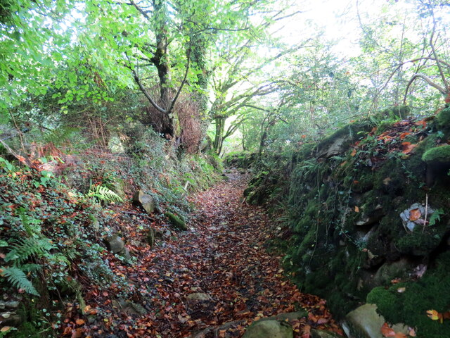
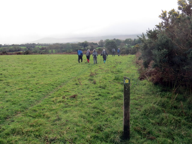
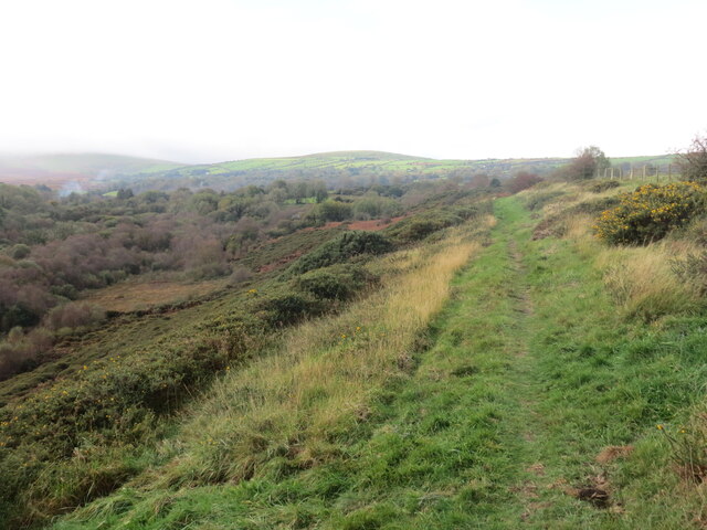
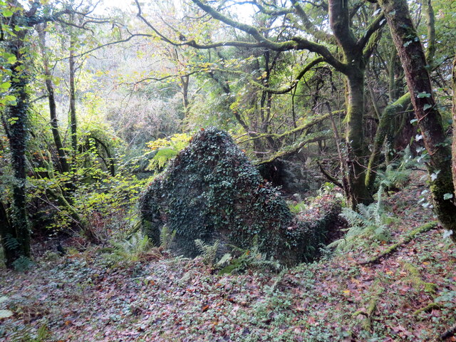
Eglwyswrw Images
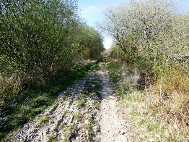
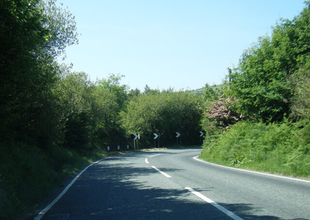
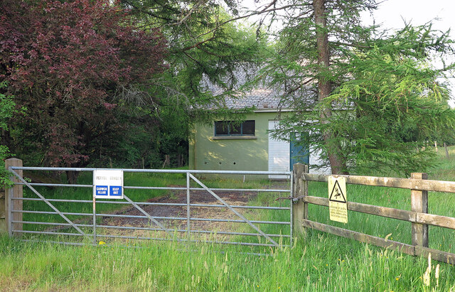
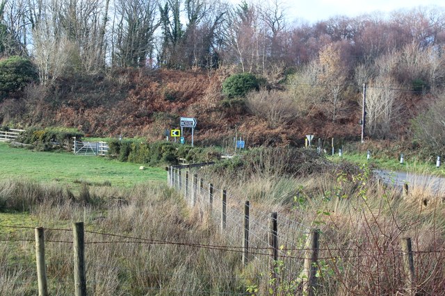
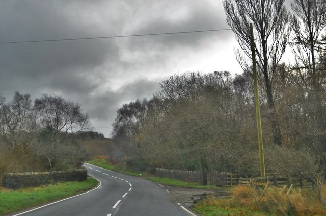
Images are sourced within 2km of 51.973733/-4.759525 or Grid Reference SN1034. Thanks to Geograph Open Source API. All images are credited.
Eglwyswrw is located at Grid Ref: SN1034 (Lat: 51.973733, Lng: -4.759525)
Unitary Authority: Pembrokeshire
Police Authority: Dyfed-Powys
What 3 Words
///backdrop.geology.loitering. Near Nevern, Pembrokeshire
Nearby Locations
Related Wikis

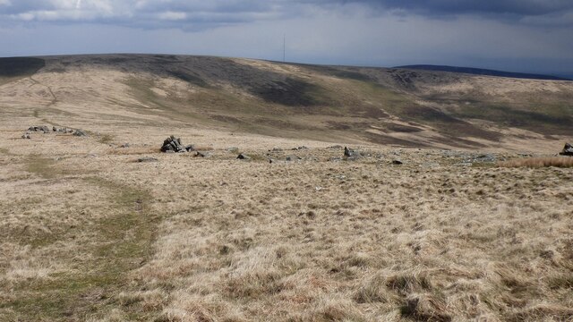
Brynberian
Brynberian is a small village in north Pembrokeshire, Wales, in the foothills of the Preseli Mountains in the Pembrokeshire Coast National Park. It is...

Penbanc
Penbanc is a 19th-century thatched Pembrokeshire longhouse (tŷ hir in Welsh) about 1.5 kilometres (0.9 miles) northwest of the hamlet of Brynberian in...

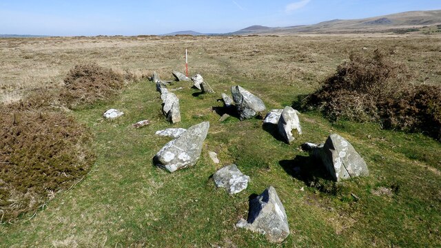
Waun Mawn
Waun Mawn (Welsh for "peat moor") is the site of a possible dismantled Neolithic stone circle in the Preseli Hills of Pembrokeshire, Wales. The diameter...
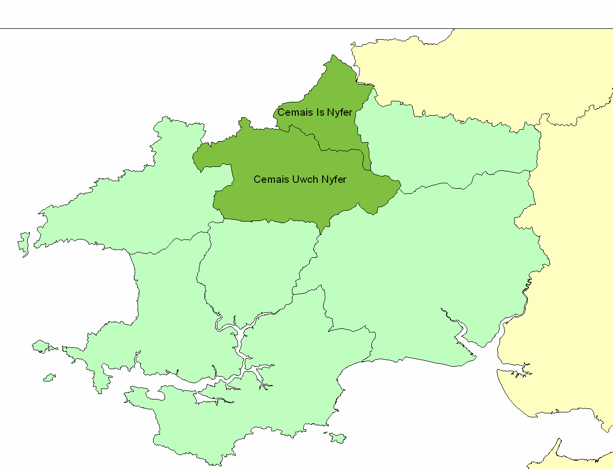
Cemais Uwch Nyfer
Cemais Uwch Nyfer was a mediaeval Welsh commote in the Dyfed cantref of Cemais, in what is now Pembrokeshire. It consisted of the territory between the...
Have you been to Eglwyswrw?
Leave your review of Eglwyswrw below (or comments, questions and feedback).