Beacon Hill
Heritage Site in Suffolk
England
Beacon Hill

Beacon Hill, located in Suffolk, England, is a significant historical heritage site that holds great cultural and archaeological importance. Situated on the outskirts of the village of Icklingham, Beacon Hill is an ancient hillfort that dates back to the Iron Age, around 500 BC.
The hillfort is positioned on a prominent natural mound, which offers commanding views over the surrounding countryside. It covers an area of approximately five acres and is enclosed by a double bank and ditch system, indicating its defensive purpose. The site also contains evidence of several roundhouses, suggesting that it was once inhabited.
The strategic location of Beacon Hill made it an ideal vantage point for early settlers to observe and protect their territories. In addition to its defensive role, the hillfort might have served as a place for community gatherings or ceremonies, as suggested by the presence of a central circular enclosure.
Archaeological excavations have unearthed various artifacts, including pottery fragments, iron tools, and animal bones, providing valuable insights into the daily life and activities of the Iron Age inhabitants. These findings indicate that the site was occupied for many centuries.
Today, Beacon Hill is a popular destination for visitors interested in history and archaeology. The site has been preserved and maintained by the local authorities, allowing visitors to explore the remains of the hillfort and appreciate its cultural significance. Interpretive signs provide information about the site's history and its importance in the region's heritage.
Beacon Hill stands as a testament to the rich and ancient history of Suffolk, offering a glimpse into the lives of the Iron Age people who once called this hillfort their home.
If you have any feedback on the listing, please let us know in the comments section below.
Beacon Hill Images
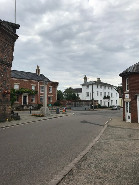
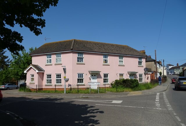
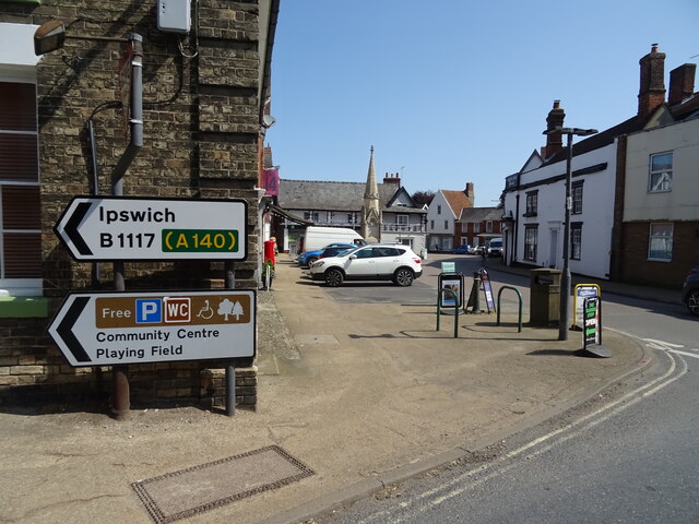
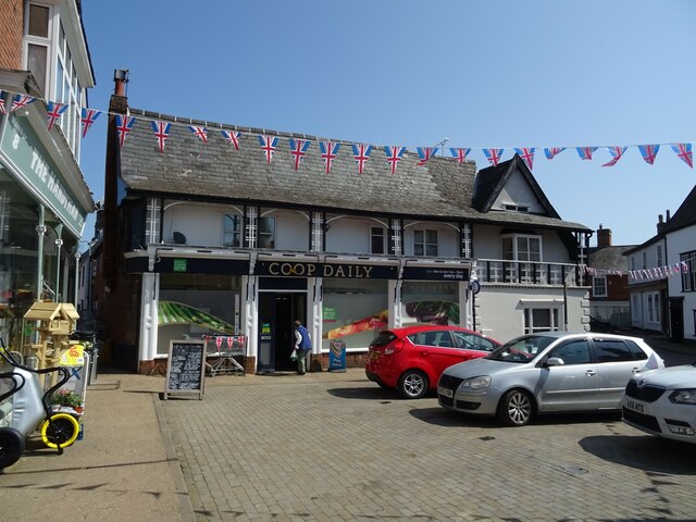
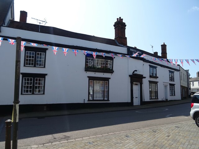
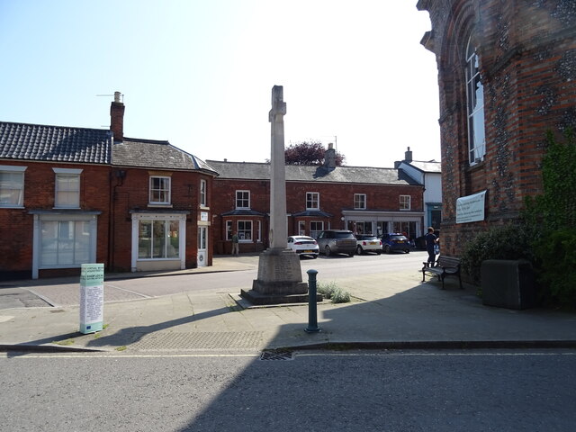
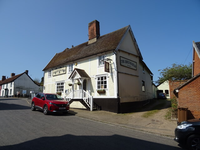
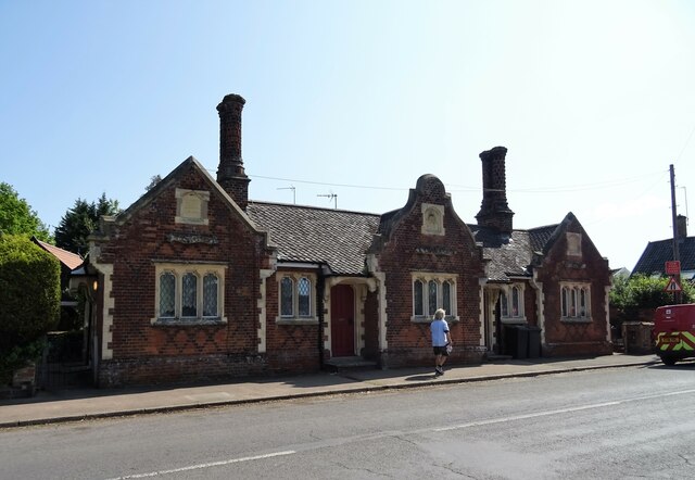
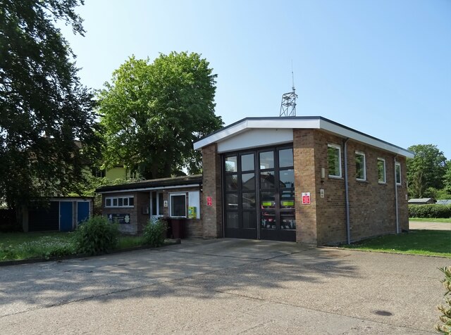
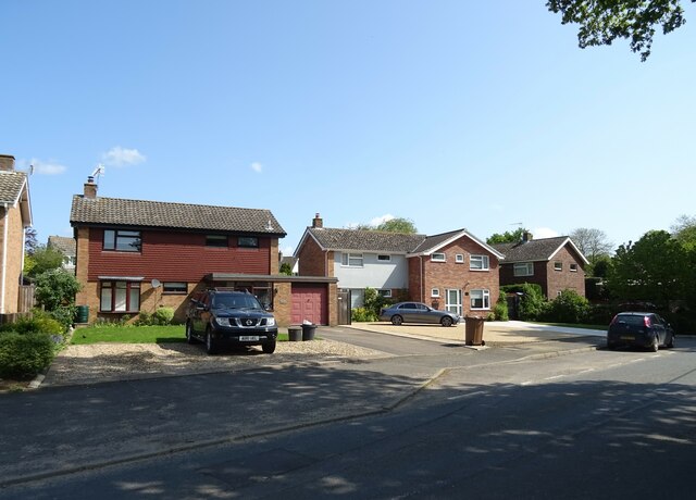
Images are sourced within 2km of 52.318/1.118 or Grid Reference TM1273. Thanks to Geograph Open Source API. All images are credited.


Beacon Hill is located at Grid Ref: TM1273 (Lat: 52.318, Lng: 1.118)
Police Authority: Suffolk
What 3 Words
///type.deeper.bulldozer. Near Scole, Norfolk
Nearby Locations
Related Wikis

Yaxley, Suffolk
Yaxley is a small village just west of Eye in Suffolk, England. The name means 'cuckoo-clearing'. == Church of St. Mary == Pevsner describes the north...
Yaxley Halt railway station
Yaxley Halt railway station was located in Yaxley, Suffolk. It was midway along a branch line from Mellis to the terminus at Eye which opened in 1867....
Pye Road
Pye Road is a Roman road running from the capital of the Iceni at Venta Icenorum (Caistor St Edmund near Norwich) to the original Roman provincial capital...

Major Farm Meadow
Major Farm Meadow is a 1.8-hectare (4.4-acre) biological Site of Special Scientific Interest south-west of Eye in Suffolk.This is one of the few surviving...
Nearby Amenities
Located within 500m of 52.318,1.118Have you been to Beacon Hill?
Leave your review of Beacon Hill below (or comments, questions and feedback).