Beacon Hill
Heritage Site in Nottinghamshire Bassetlaw
England
Beacon Hill

Beacon Hill, located in Nottinghamshire, England, is a renowned heritage site with a rich history and natural beauty. Situated near the village of Newark-on-Trent, Beacon Hill offers visitors an opportunity to explore its picturesque landscape and experience its historical significance.
Standing at an elevation of 974 feet (297 meters), Beacon Hill is the highest point in Nottinghamshire, providing breathtaking panoramic views of the surrounding countryside. The hill is an important landmark and has served as a significant vantage point for centuries. Its name derives from the beacon that once stood on its summit, used as a signal for impending danger or to communicate important messages.
The area is steeped in history, with evidence of human activity dating back to the Bronze Age. Archaeological excavations have uncovered remains of ancient settlements and burial mounds, highlighting the hill's importance as a strategic location in the past.
Beacon Hill is also known for its diverse flora and fauna, with several nature trails and walking paths winding through the area. The hill is home to a variety of plant species, including heather, gorse, and rare orchids, creating a vibrant and colorful landscape. It also provides a habitat for various wildlife, including birds of prey, foxes, and rabbits.
Visitors to Beacon Hill can enjoy leisurely walks, picnics, and birdwatching, while also appreciating the historical significance of the site. The hill offers a peaceful and tranquil environment, allowing visitors to escape the hustle and bustle of everyday life and immerse themselves in nature's beauty and the region's rich heritage.
If you have any feedback on the listing, please let us know in the comments section below.
Beacon Hill Images
Images are sourced within 2km of 53.405/-0.88 or Grid Reference SK7490. Thanks to Geograph Open Source API. All images are credited.


Beacon Hill is located at Grid Ref: SK7490 (Lat: 53.405, Lng: -0.88)
Administrative County: Nottinghamshire
District: Bassetlaw
Police Authority: Nottinghamshire
What 3 Words
///used.singer.dabbling. Near Beckingham, Nottinghamshire
Nearby Locations
Related Wikis

St Peter & St Paul's Church, Gringley-on-the-Hill
St Peter & St Paul's Church is a Grade II* listed parish church in the Church of England in Gringley-on-the-Hill. == History == The church dates from the...
Gringley on the Hill
Gringley on the Hill, Nottinghamshire, is an English village and parish. The population of the civil parish at the 2011 census was 699. It is on the highest...

St Peter's Church, Clayworth
St. Peter's Church, Clayworth is a parish church in the Church of England in Clayworth, Nottinghamshire. The church is Grade I listed by the Department...

Wiseton
Wiseton is a small village, country estate and civil parish, Nottinghamshire, England, situated between the villages of Gringley-on-the-Hill and Everton...
St Mary Magdalene's Church, Walkeringham
St Mary Magdalene's Church, Walkeringham is a Grade I listed, Church of England parish church in the village of Walkeringham, Nottinghamshire. == History... ==

Walkeringham
Walkeringham is a village and civil parish in Nottinghamshire, England. According to the 2001 census it had a population of 908, increasing to 1,022 at...
Clayworth
Clayworth is a village and civil parish in Nottinghamshire, England. At the time of the 2001 census it had a population of 319, increasing to 419 at the...
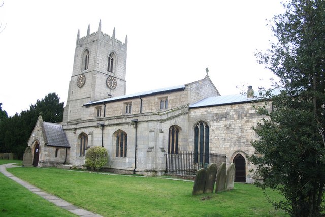
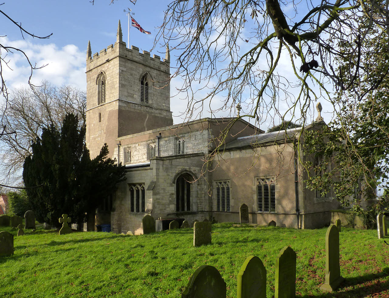
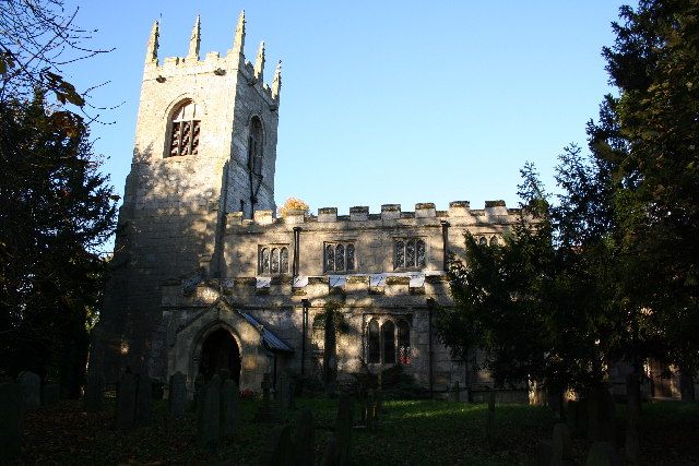
All Saints' Church, Beckingham
All Saints' Church, Beckingham is a Grade II* listed parish church in the Church of England in Beckingham, Nottinghamshire, England. == History == The...
Nearby Amenities
Located within 500m of 53.405,-0.88Have you been to Beacon Hill?
Leave your review of Beacon Hill below (or comments, questions and feedback).