Bawthorpe Hall
Heritage Site in Lancashire Burnley
England
Bawthorpe Hall

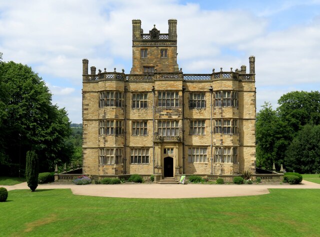
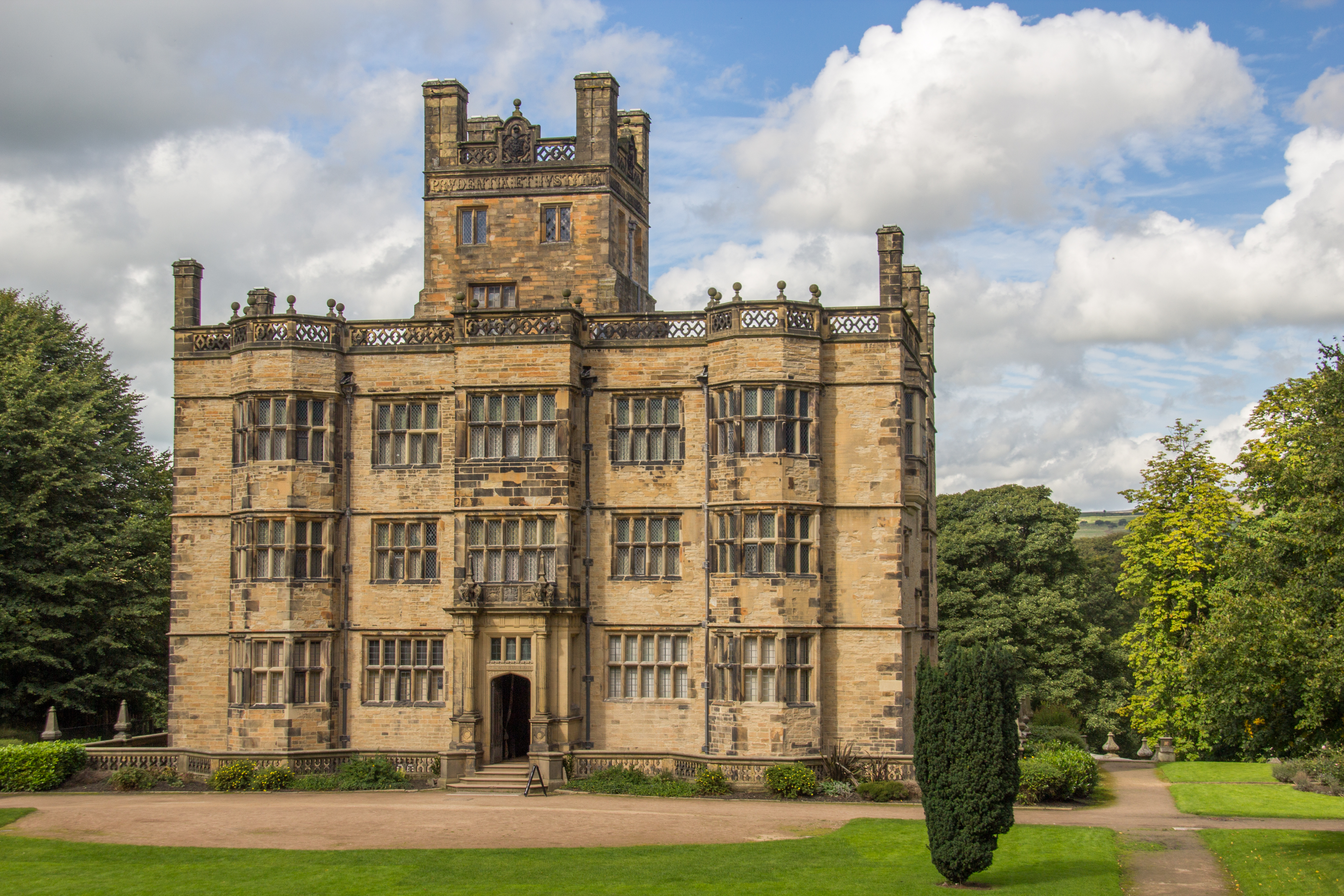
Bawthorpe Hall is a historic manor house located in Lancashire, England. This magnificent building has stood on the same site since the 16th century and has witnessed centuries of history and architectural changes.
The hall is made of locally sourced stone and is an excellent example of Tudor architecture. It features a symmetrical design with an imposing central tower and a courtyard surrounded by gabled wings. The façade is adorned with intricate carvings and decorative elements, showcasing the craftsmanship of the period.
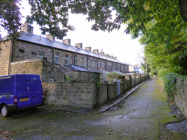
Over the years, Bawthorpe Hall has been home to several prominent families, including the Bawthorpes, the Catteralls, and the Heskeths. Each family has left its mark on the building, adding extensions and modifications to suit their needs and tastes.
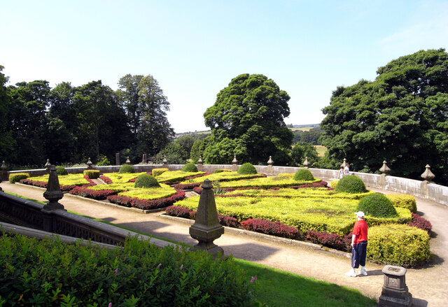
The hall is surrounded by well-maintained gardens and lush greenery, providing a picturesque backdrop to the magnificent structure. The gardens are known for their manicured lawns, vibrant flowerbeds, and ancient trees, creating a serene and peaceful atmosphere.
Today, Bawthorpe Hall is recognized as a heritage site and attracts visitors from all over the world. It offers guided tours, allowing visitors to explore the grandeur of the building and learn about its fascinating history. The hall also hosts various events and exhibitions throughout the year, showcasing local art and culture.
Bawthorpe Hall stands as a testament to Lancashire's rich heritage and is a must-visit destination for history enthusiasts and architecture lovers alike.
If you have any feedback on the listing, please let us know in the comments section below.
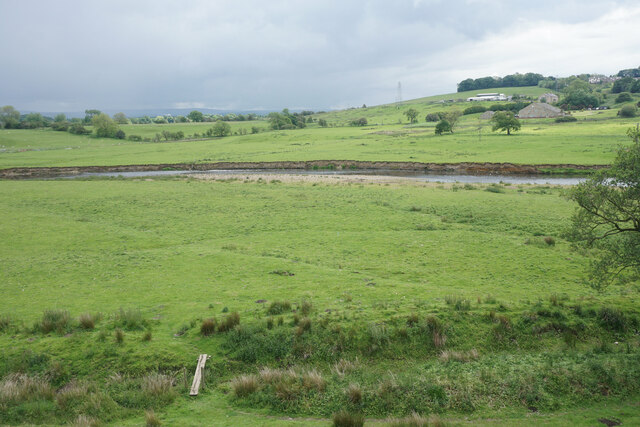
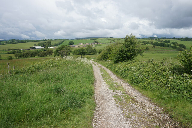
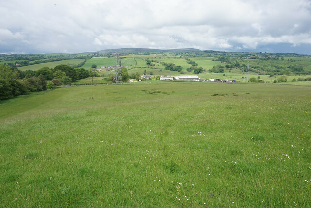
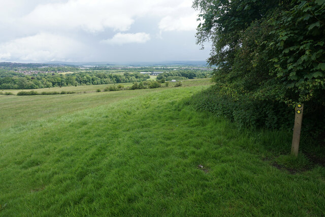
Bawthorpe Hall Images
Images are sourced within 2km of 53.807/-2.297 or Grid Reference SD8034. Thanks to Geograph Open Source API. All images are credited.


Bawthorpe Hall is located at Grid Ref: SD8034 (Lat: 53.807, Lng: -2.297)
Administrative County: Lancashire
District: Burnley
Police Authority: Lancashire
What 3 Words
///colleague.guests.gateway. Near Padiham, Lancashire
Nearby Locations
Related Wikis
Gawthorpe Hall
Gawthorpe Hall is an Elizabethan country house on the banks of the River Calder, in Ightenhill, a civil parish in the Borough of Burnley, Lancashire, England...

Great Barn, Ightenhill
Great Barn is an historic building in the English civil parish of Ightenhill, Lancashire. Built around 1605 about 100 metres (330 ft) west of Gawthorpe...

Gawthorpe (ward)
Gawthorpe is an electoral ward in the non-metropolitan district of Burnley in Lancashire, England. The population of the Burnley Ward at the 2011 census...

Shuttleworth College, Padiham
Shuttleworth College, formerly Gawthorpe High School, is a mixed 11–16 foundation secondary school located in Padiham, Lancashire, England. == History... ==

Padiham Town Hall
Padiham Town Hall is a municipal building in Burnley Road, Padiham, Lancashire, England. The town hall, which was the headquarters of Padiham Urban District...

Burnley High School
Burnley High School is a mixed secondary free school located in the town and Borough of Burnley, Lancashire, England. The school opened in September 2014...

Burnley Grammar School
Burnley Grammar School was latterly, a state-funded selective boys grammar school, situated in Byron Street in Burnley, Lancashire. However, during its...
Padiham
Padiham ( PAD-i-əm) is a market town and civil parish on the River Calder, in the Borough of Burnley in Lancashire, England. It is located north west of...
Nearby Amenities
Located within 500m of 53.807,-2.297Have you been to Bawthorpe Hall?
Leave your review of Bawthorpe Hall below (or comments, questions and feedback).